Duckdub Wood
Wood, Forest in Berwickshire
Scotland
Duckdub Wood
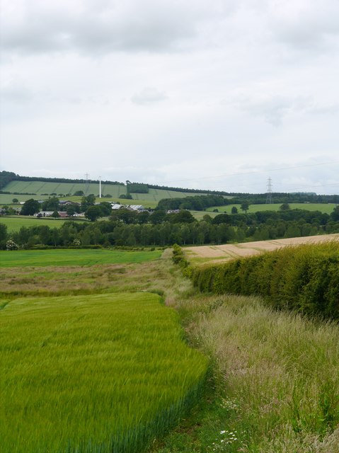
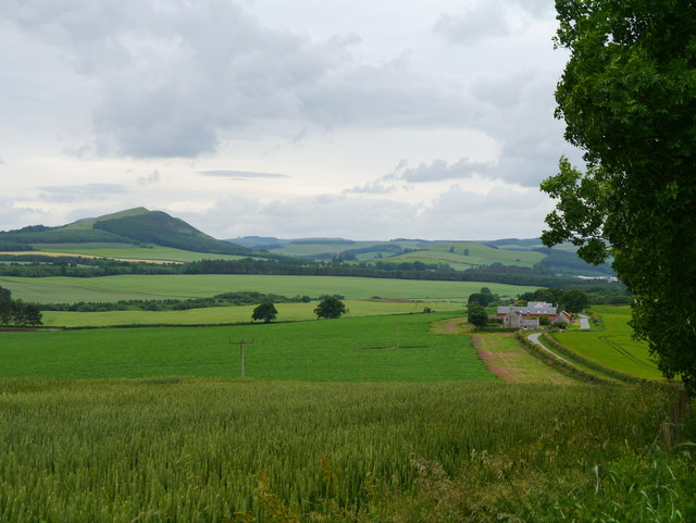
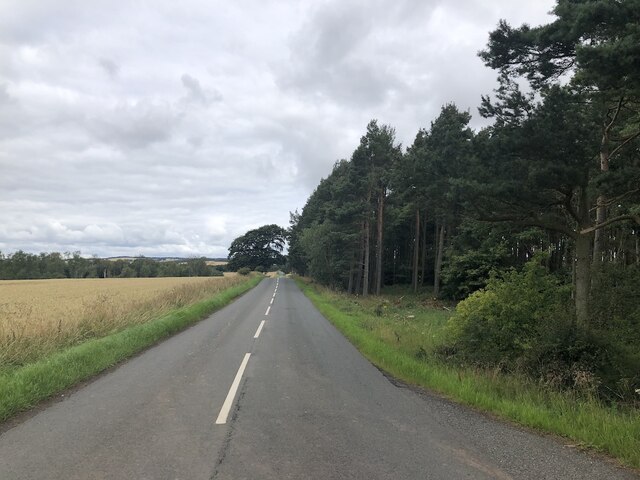
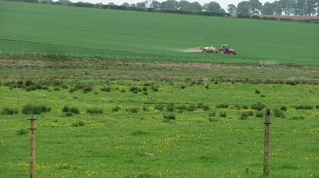
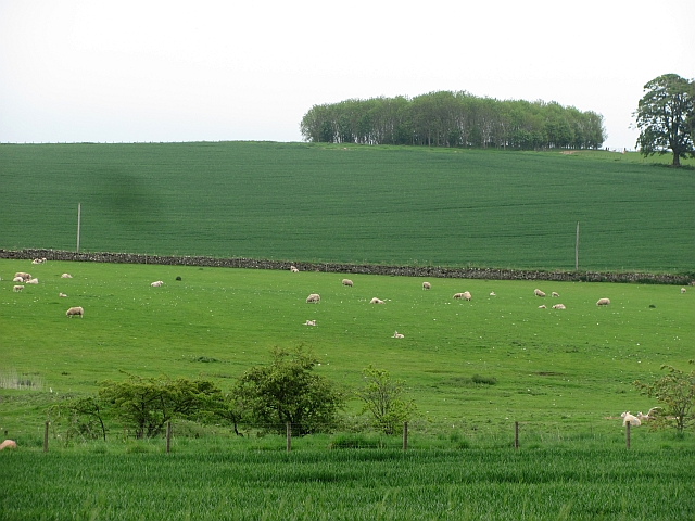
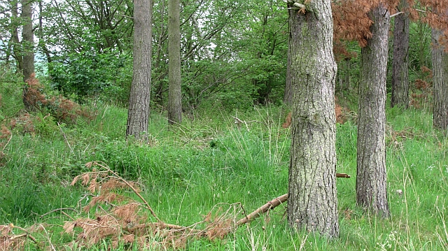
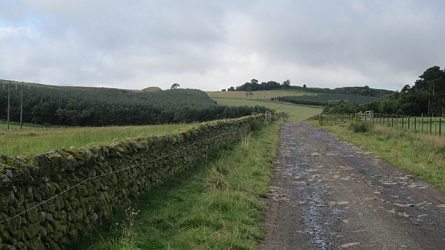
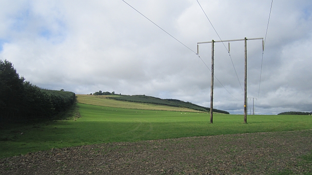
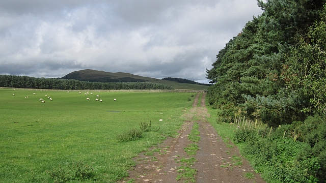
Duckdub Wood, located in Berwickshire, is a picturesque woodland area that covers an approximate area of 50 hectares. Situated in the southeastern part of Scotland, this forest is known for its rich biodiversity and stunning natural beauty. The wood is predominantly made up of native broadleaf trees such as oak, ash, birch, and beech, creating a diverse and vibrant ecosystem.
The wood is a popular destination for nature enthusiasts, hikers, and birdwatchers due to its tranquil atmosphere and abundance of wildlife. Visitors can explore the well-maintained pathways that wind through the forest, allowing them to immerse themselves in the serene surroundings. The wood is home to a variety of bird species, including woodpeckers, owls, and various songbirds, making it a haven for bird lovers.
In addition to its natural wonders, Duckdub Wood also holds historical significance. It is believed that the wood was part of the ancient Jed Forest, which played a crucial role in the region's medieval history. The area is dotted with remnants of old boundary walls and ancient pathways, offering glimpses into its past.
The wood is easily accessible, with a nearby car park and well-marked routes for visitors to navigate. It also offers picnic areas, providing a perfect spot for families and friends to enjoy a leisurely day out in nature. Duckdub Wood is a gem in Berwickshire, offering a peaceful retreat for those seeking solace amidst the beauty of the Scottish countryside.
If you have any feedback on the listing, please let us know in the comments section below.
Duckdub Wood Images
Images are sourced within 2km of 55.638829/-2.6338139 or Grid Reference NT6038. Thanks to Geograph Open Source API. All images are credited.
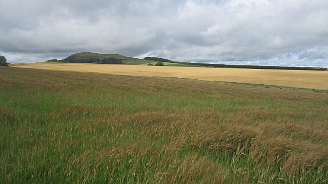
![Farmland near Fans There is an old railway here, the Berwickshire Railway [Reston-Duns-St Boswells], but its course here is not evident; the photo was taken from the road bridge over. The watercourse eventually becomes the Turfford Burn.](https://s3.geograph.org.uk/geophotos/07/36/02/7360271_ae7efa59.jpg)
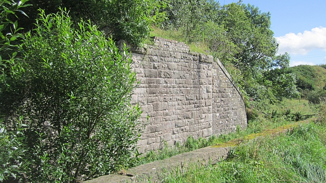
![Old Berwickshire Railway bridge A bridge over the railway and adjacent burn. Looking northwest to the A6105 [Earlston-Gordon] road.](https://s3.geograph.org.uk/geophotos/07/36/03/7360315_1379f6bd.jpg)
Duckdub Wood is located at Grid Ref: NT6038 (Lat: 55.638829, Lng: -2.6338139)
Unitary Authority: The Scottish Borders
Police Authority: The Lothians and Scottish Borders
What 3 Words
///steep.podcast.absorb. Near Earlston, Scottish Borders
Nearby Locations
Related Wikis

Earlston High School
Earlston High School is a secondary school in Earlston, Scottish Borders. It serves Earlston, as well as the surrounding area. Since 2009, the school has...

Earlston railway station
Earlston railway station, in the Scottish Borders village of Earlston, was a station on the now disused Berwickshire Railway.There were two platforms...
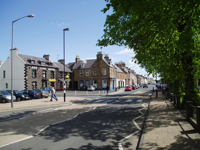
Earlston
Earlston (Scots: Yerlston; Scottish Gaelic: Dùn Airchill) is a civil parish and market town in the county of Berwickshire, within the Scottish Borders...

A6105 road
The A6105 road is an A road in the Scottish Borders, Scotland and Northumberland, England. It runs from the village of Earlston to Berwick on Tweed going...

Rhymer's Tower
Rhymer's Tower, also known as Earlston Castle, is located near the village of Earlston, Scottish Borders, Scotland. The castle was the caput baroniae of...
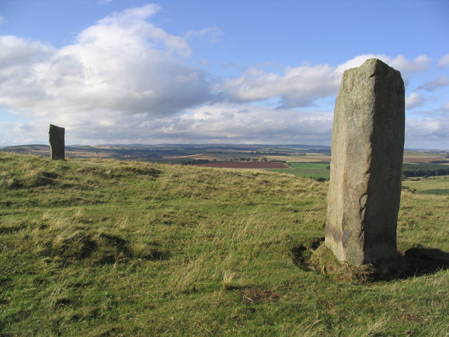
Brotherstone Hill
Brotherstone Hill is a hill near St. Boswells and the Eildon Hills in the Scottish Borders area of Scotland, with two standing stones from the megalithic...
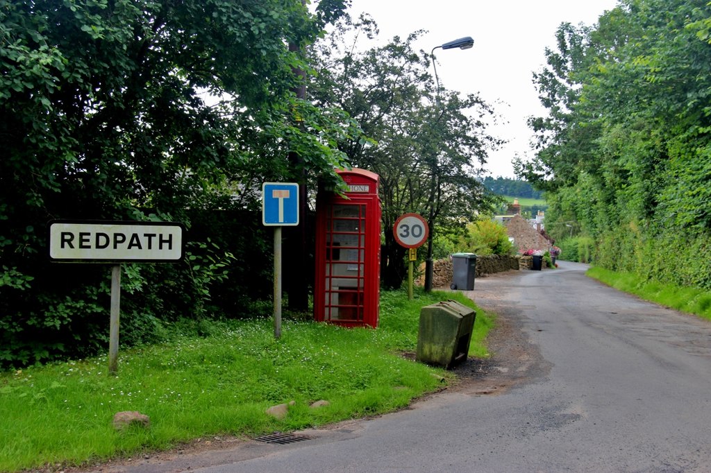
Redpath, Scottish Borders
Redpath (Scots: Rippath) is a small village located between the larger settlements of Earlston, 2 miles (3.2 km) to the north, and St Boswells, 3 miles...

St Andrew's College, Drygrange
St Andrew's College, Drygrange, located near Melrose, Scotland, was a Roman Catholic seminary founded in 1953 and closed in 1986. == History == === Foundation... ===
Nearby Amenities
Located within 500m of 55.638829,-2.6338139Have you been to Duckdub Wood?
Leave your review of Duckdub Wood below (or comments, questions and feedback).