Ardlair Wood

Wood, Forest in Aberdeenshire

Scotland

Ardlair Wood

And I shall go into the hare (the shapeshifter)
And I shall go into the hare (the shapeshifter) Credit: Ralph Greig

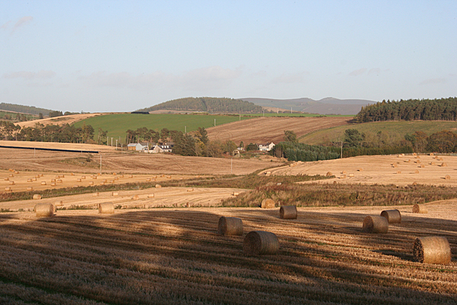
Ardlair Wood is a picturesque forest located in Aberdeenshire, Scotland. Covering an area of approximately 150 hectares, it is a popular destination for nature enthusiasts and outdoor adventurers. The forest is situated about 10 miles west of the town of Banchory and is easily accessible by car.

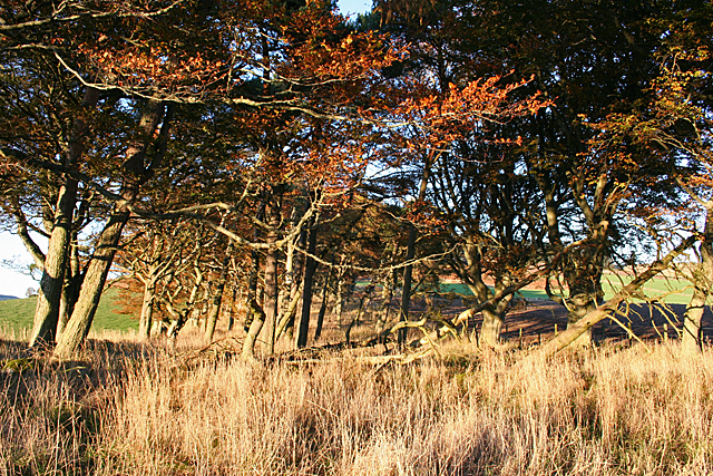
The woodland is primarily composed of mixed coniferous and deciduous trees, creating a diverse and vibrant ecosystem. Visitors to Ardlair Wood can expect to encounter a variety of tree species, including Scots pine, oak, birch, and beech. The forest floor is also rich in flora, with wildflowers and ferns adding to its natural beauty.

The wood offers a range of walking trails, catering to all levels of fitness and ability. These well-maintained paths wind through the forest, providing opportunities for peaceful strolls and invigorating hikes. Along the way, visitors may spot wildlife such as red squirrels, roe deer, and a variety of bird species.

Ardlair Wood is also a fantastic spot for outdoor activities. It boasts several picnic areas, inviting visitors to relax and enjoy a meal amidst the tranquil surroundings. The forest is popular among mountain bikers, with designated trails offering exciting routes and challenges. Additionally, the wood is home to a small pond, providing a peaceful spot for fishing and observing aquatic life.

Overall, Ardlair Wood is a beautiful and diverse natural treasure in Aberdeenshire. Its scenic trails, rich flora and fauna, and various recreational opportunities make it a must-visit destination for nature lovers and outdoor enthusiasts.

If you have any feedback on the listing, please let us know in the comments section below.
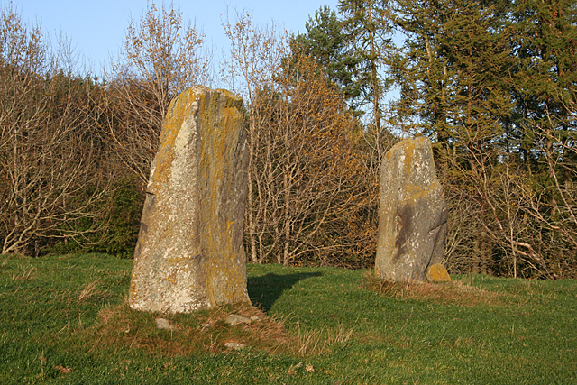
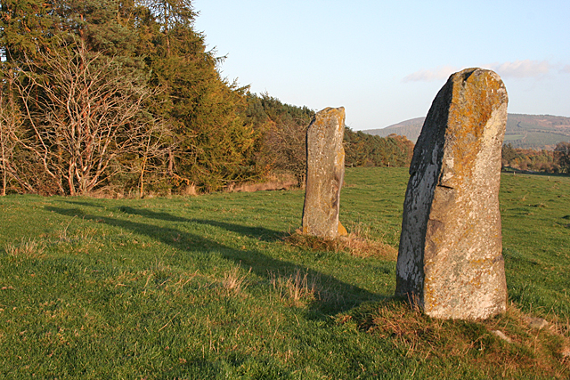
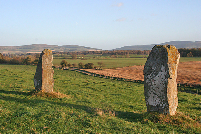
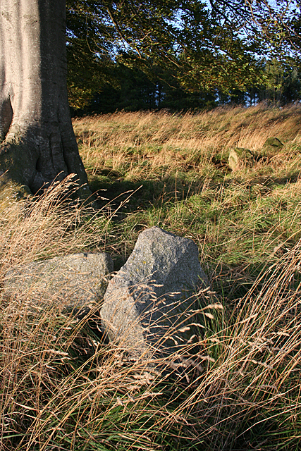
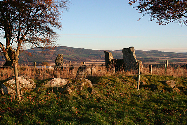
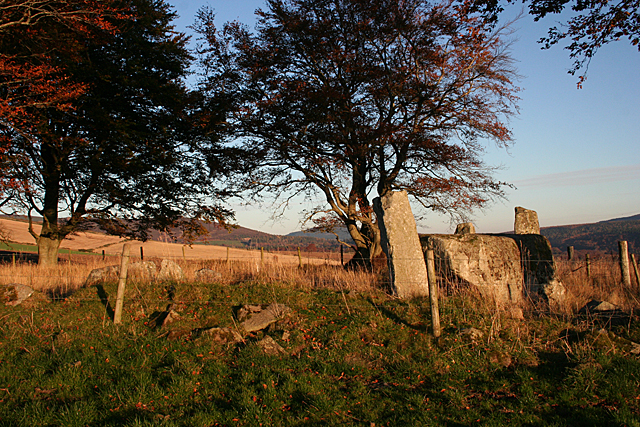
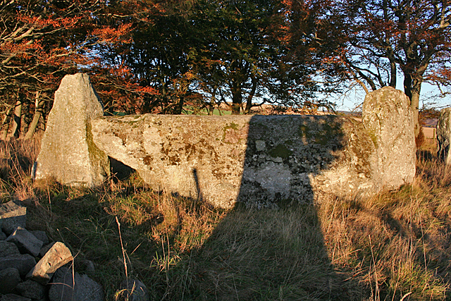
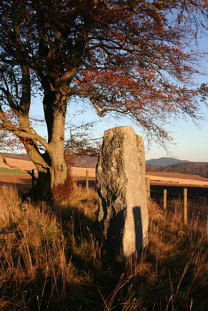
Ardlair Wood Images

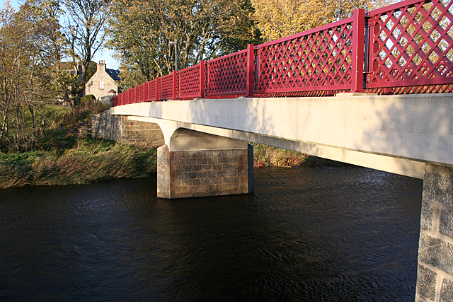
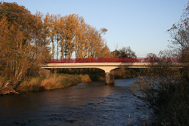
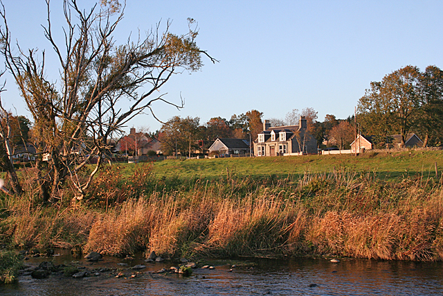
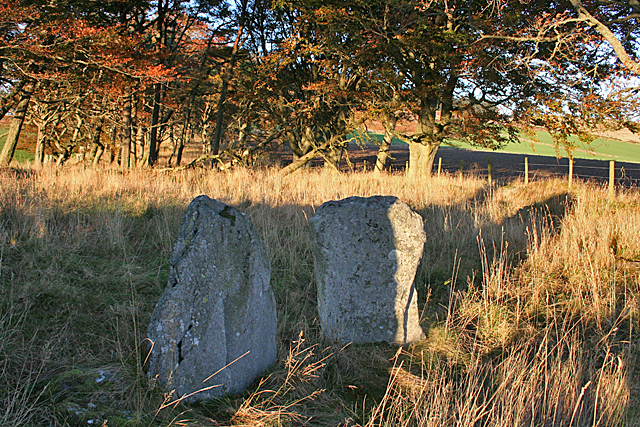
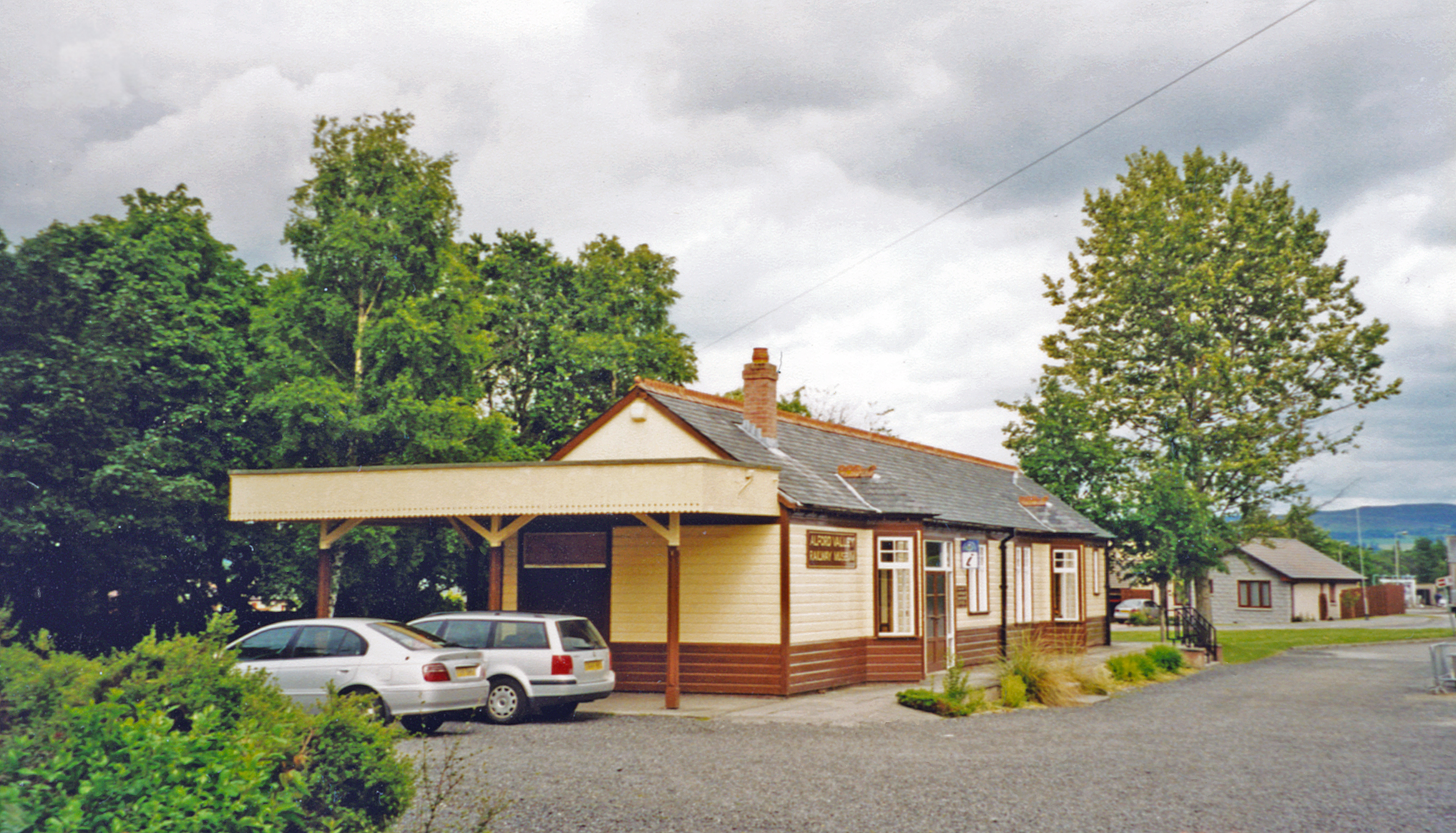
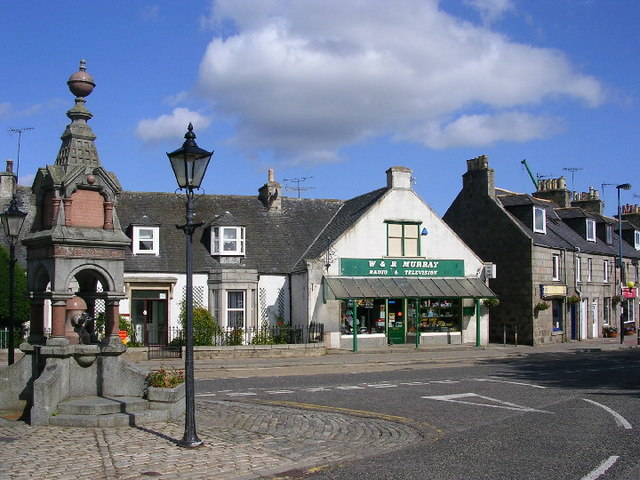
Images are sourced within 2km of 57.252649/-2.6821541 or Grid Reference NJ5818. Thanks to Geograph Open Source API. All images are credited.

And I shall go into the hare (the shapeshifter)
Haughton House
Haughton House
Looking towards Millhill My eye was caught by the late afternoon light on Millhill, in the distance.
Looking towards Millhill
My eye was caught by the late afternoon light on Millhill, in the distance.
Druidsfield Standing Stones (1) Two stones stand just outside the fence round the farm yard, and two more on the bank higher up. There is a suggestion that the two upper stones are the flankers of a recumbent stone circle, and that the recumbent was removed and built into the bank of the River Don. However the Royal Commission on the Ancient and Historic Monuments of Scotland does not quite ratify this suggestion. See <span class="nowrap"><a title="http://canmore.org.uk/site/17519/druidstone-druidsfield" rel="nofollow ugc noopener" href="http://canmore.org.uk/site/17519/druidstone-druidsfield">Link</a><img style="margin-left:2px;" alt="External link" title="External link - shift click to open in new window" src="https://s1.geograph.org.uk/img/external.png" width="10" height="10"/></span> for further details. <a href="https://www.geograph.org.uk/photo/4712754">NJ5717 : Druidsfield Standing Stones (2)</a>
Druidsfield Standing Stones (1)
Two stones stand just outside the fence round the farm yard, and two more on the bank higher up. There is a suggestion that the two upper stones are the flankers of a recumbent stone circle, and that the recumbent was removed and built into the bank of the River Don. However the Royal Commission on the Ancient and Historic Monuments of Scotland does not quite ratify this suggestion. See LinkExternal link for further details. NJ5717 : Druidsfield Standing Stones (2)
Druidsfield Standing Stones (2) Two stones stand just outside the fence round the farm yard, and two more on the bank higher up. There is a suggestion that the two upper stones are the flankers of a recumbent stone circle, and that the recumbent was removed and built into the bank of the River Don. However the Royal Commission on the Ancient and Historic Monuments of Scotland does not quite ratify this suggestion. See <span class="nowrap"><a title="http://canmore.org.uk/site/17519/druidstone-druidsfield" rel="nofollow ugc noopener" href="http://canmore.org.uk/site/17519/druidstone-druidsfield">Link</a><img style="margin-left:2px;" alt="External link" title="External link - shift click to open in new window" src="https://s1.geograph.org.uk/img/external.png" width="10" height="10"/></span> for further details. <a href="https://www.geograph.org.uk/photo/4712757">NJ5717 : Druidsfield Standing Stones (3)</a>
Druidsfield Standing Stones (2)
Two stones stand just outside the fence round the farm yard, and two more on the bank higher up. There is a suggestion that the two upper stones are the flankers of a recumbent stone circle, and that the recumbent was removed and built into the bank of the River Don. However the Royal Commission on the Ancient and Historic Monuments of Scotland does not quite ratify this suggestion. See LinkExternal link for further details. NJ5717 : Druidsfield Standing Stones (3)
Druidsfield Standing Stones (3) Two stones stand just outside the fence round the farm yard, and these two on the bank higher up. There is a suggestion that these two stones are the flankers of a recumbent stone circle, and that the recumbent was removed and built into the bank of the River Don. However the Royal Commission on the Ancient and Historic Monuments of Scotland does not quite ratify this suggestion. See <span class="nowrap"><a title="http://canmore.org.uk/site/17519/druidstone-druidsfield" rel="nofollow ugc noopener" href="http://canmore.org.uk/site/17519/druidstone-druidsfield">Link</a><img style="margin-left:2px;" alt="External link" title="External link - shift click to open in new window" src="https://s1.geograph.org.uk/img/external.png" width="10" height="10"/></span> for further details. <a href="https://www.geograph.org.uk/photo/4712758">NJ5717 : Druidsfield Standing Stones (4)</a>
Druidsfield Standing Stones (3)
Two stones stand just outside the fence round the farm yard, and these two on the bank higher up. There is a suggestion that these two stones are the flankers of a recumbent stone circle, and that the recumbent was removed and built into the bank of the River Don. However the Royal Commission on the Ancient and Historic Monuments of Scotland does not quite ratify this suggestion. See LinkExternal link for further details. NJ5717 : Druidsfield Standing Stones (4)
Druidsfield Standing Stones (4) Two stones stand just outside the fence round the farm yard, and these two on the bank higher up. There is a suggestion that these two stones are the flankers of a recumbent stone circle, and that the recumbent was removed and built into the bank of the River Don. However the Royal Commission on the Ancient and Historic Monuments of Scotland does not quite ratify this suggestion. See <span class="nowrap"><a title="http://canmore.org.uk/site/17519/druidstone-druidsfield" rel="nofollow ugc noopener" href="http://canmore.org.uk/site/17519/druidstone-druidsfield">Link</a><img style="margin-left:2px;" alt="External link" title="External link - shift click to open in new window" src="https://s1.geograph.org.uk/img/external.png" width="10" height="10"/></span> for further details. <a href="https://www.geograph.org.uk/photo/4712763">NJ5717 : Druidsfield Standing Stones (5)</a>
Druidsfield Standing Stones (4)
Two stones stand just outside the fence round the farm yard, and these two on the bank higher up. There is a suggestion that these two stones are the flankers of a recumbent stone circle, and that the recumbent was removed and built into the bank of the River Don. However the Royal Commission on the Ancient and Historic Monuments of Scotland does not quite ratify this suggestion. See LinkExternal link for further details. NJ5717 : Druidsfield Standing Stones (5)
Druidsfield Standing Stones (5) Two stones stand just outside the fence round the farm yard, and these two on the bank higher up, overlooking the Howe of Alford. There is a suggestion that these two stones are the flankers of a recumbent stone circle, and that the recumbent was removed and built into the bank of the River Don. However the Royal Commission on the Ancient and Historic Monuments of Scotland does not quite ratify this suggestion. See <span class="nowrap"><a title="http://canmore.org.uk/site/17519/druidstone-druidsfield" rel="nofollow ugc noopener" href="http://canmore.org.uk/site/17519/druidstone-druidsfield">Link</a><img style="margin-left:2px;" alt="External link" title="External link - shift click to open in new window" src="https://s1.geograph.org.uk/img/external.png" width="10" height="10"/></span> for further details. <a href="https://www.geograph.org.uk/photo/4712751">NJ5717 : Druidsfield Standing Stones (1)</a>
Druidsfield Standing Stones (5)
Two stones stand just outside the fence round the farm yard, and these two on the bank higher up, overlooking the Howe of Alford. There is a suggestion that these two stones are the flankers of a recumbent stone circle, and that the recumbent was removed and built into the bank of the River Don. However the Royal Commission on the Ancient and Historic Monuments of Scotland does not quite ratify this suggestion. See LinkExternal link for further details. NJ5717 : Druidsfield Standing Stones (1)
Remains of a Monument? In the long grass below the trees here are several large broken boulders. Are they erratics, or have they been cleared from the fields, or could they be remnants of some prehistoric monument, neighbours of the <a href="https://www.geograph.org.uk/photo/4712751">NJ5717 : Druidsfield Standing Stones (1)</a>?
Remains of a Monument?
In the long grass below the trees here are several large broken boulders. Are they erratics, or have they been cleared from the fields, or could they be remnants of some prehistoric monument, neighbours of the NJ5717 : Druidsfield Standing Stones (1)?
Montgarrie Bridge Compare with <a href="https://www.geograph.org.uk/photo/977578">NJ5717 : A new bridge over the River Don</a>, taken while this new bridge was under construction in 2007.
Montgarrie Bridge
Compare with NJ5717 : A new bridge over the River Don, taken while this new bridge was under construction in 2007.
Montgarrie Bridge The new bridge over the River Don at Montgarrie. Rather surprisingly, for such a new bridge, it is too narrow for two vehicles to pass.
Montgarrie Bridge
The new bridge over the River Don at Montgarrie. Rather surprisingly, for such a new bridge, it is too narrow for two vehicles to pass.
Montgarrie from the River Don The setting sun gives the scene a rosy tinge. These are the houses at the south end of Montgarrie, close to the river and bridge.
Montgarrie from the River Don
The setting sun gives the scene a rosy tinge. These are the houses at the south end of Montgarrie, close to the river and bridge.
Shelter Belt This belt of mature beeches runs down the slope between Old Keig and New Keig.
Shelter Belt
This belt of mature beeches runs down the slope between Old Keig and New Keig.
Old Keig Recumbent Stone Circle (1) This circle is in the shelter belt between Old Keig and New Keig. This shows the recumbent setting and the sole remaining standing stone to its left. See <span class="nowrap"><a title="http://canmore.org.uk/site/17530/old-keig" rel="nofollow ugc noopener" href="http://canmore.org.uk/site/17530/old-keig">Link</a><img style="margin-left:2px;" alt="External link" title="External link - shift click to open in new window" src="https://s1.geograph.org.uk/img/external.png" width="10" height="10"/></span> for fuller details. <a href="https://www.geograph.org.uk/photo/4729758">NJ5919 : Old Keig Recumbent Stone Circle (2)</a>
Old Keig Recumbent Stone Circle (1)
This circle is in the shelter belt between Old Keig and New Keig. This shows the recumbent setting and the sole remaining standing stone to its left. See LinkExternal link for fuller details. NJ5919 : Old Keig Recumbent Stone Circle (2)
Old Keig Recumbent Stone Circle (2) From the south-west, the remaining orthostat can just be seen above the middle of the recumbent. The smaller stones to the left are kerb stones associated with the central cairn. See <span class="nowrap"><a title="http://canmore.org.uk/site/17530/old-keig" rel="nofollow ugc noopener" href="http://canmore.org.uk/site/17530/old-keig">Link</a><img style="margin-left:2px;" alt="External link" title="External link - shift click to open in new window" src="https://s1.geograph.org.uk/img/external.png" width="10" height="10"/></span> for fuller details. <a href="https://www.geograph.org.uk/photo/4729761">NJ5919 : Old Keig Recumbent Stone Circle (3)</a>
Old Keig Recumbent Stone Circle (2)
From the south-west, the remaining orthostat can just be seen above the middle of the recumbent. The smaller stones to the left are kerb stones associated with the central cairn. See LinkExternal link for fuller details. NJ5919 : Old Keig Recumbent Stone Circle (3)
Old Keig Recumbent Stone Circle (3) Photographing the rather impressive recumbent setting was made difficult by the shadow of a beech tree falling right across the recumbent. See <span class="nowrap"><a title="http://canmore.org.uk/site/17530/old-keig" rel="nofollow ugc noopener" href="http://canmore.org.uk/site/17530/old-keig">Link</a><img style="margin-left:2px;" alt="External link" title="External link - shift click to open in new window" src="https://s1.geograph.org.uk/img/external.png" width="10" height="10"/></span> for fuller details. <a href="https://www.geograph.org.uk/photo/4729764">NJ5919 : Old Keig Recumbent Stone Circle (4)</a>
Old Keig Recumbent Stone Circle (3)
Photographing the rather impressive recumbent setting was made difficult by the shadow of a beech tree falling right across the recumbent. See LinkExternal link for fuller details. NJ5919 : Old Keig Recumbent Stone Circle (4)
Old Keig Recumbent Stone Circle (4) This is the sole orthostat still standing. It is on the south-east arc of the circle. The dark shadow is that of a nearby fence post. See <span class="nowrap"><a title="http://canmore.org.uk/site/17530/old-keig" rel="nofollow ugc noopener" href="http://canmore.org.uk/site/17530/old-keig">Link</a><img style="margin-left:2px;" alt="External link" title="External link - shift click to open in new window" src="https://s1.geograph.org.uk/img/external.png" width="10" height="10"/></span> for fuller details. <a href="https://www.geograph.org.uk/photo/4729768">NJ5919 : Old Keig Recumbent Stone Circle (5)</a>
Old Keig Recumbent Stone Circle (4)
This is the sole orthostat still standing. It is on the south-east arc of the circle. The dark shadow is that of a nearby fence post. See LinkExternal link for fuller details. NJ5919 : Old Keig Recumbent Stone Circle (5)
Old Keig Recumbent Stone Circle (5) Although they are still standing inside the circle, these two lower stones are not part of the circumference of the circle, but must be related to the cairn inside the circle. See <span class="nowrap"><a title="http://canmore.org.uk/site/17530/old-keig" rel="nofollow ugc noopener" href="http://canmore.org.uk/site/17530/old-keig">Link</a><img style="margin-left:2px;" alt="External link" title="External link - shift click to open in new window" src="https://s1.geograph.org.uk/img/external.png" width="10" height="10"/></span> for fuller details. <a href="https://www.geograph.org.uk/photo/4729775">NJ5919 : Old Keig Recumbent Stone Circle (7)</a>
Old Keig Recumbent Stone Circle (5)
Although they are still standing inside the circle, these two lower stones are not part of the circumference of the circle, but must be related to the cairn inside the circle. See LinkExternal link for fuller details. NJ5919 : Old Keig Recumbent Stone Circle (7)
Show me another place!

Ardlair Wood is located at Grid Ref: NJ5818 (Lat: 57.252649, Lng: -2.6821541)

Unitary Authority: Aberdeenshire

Police Authority: North East

What 3 Words

///alas.sprain.rationed. Near Alford, Aberdeenshire
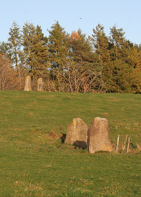
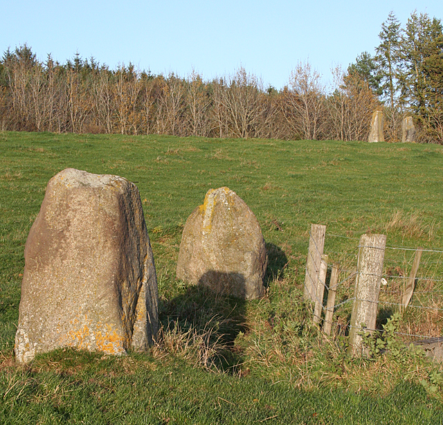
Nearby Locations

Ardlair Wood

Related Wikis

Nearby Amenities

Located within 500m of 57.252649,-2.6821541
Power: pole
Lat/Long: 57.2500274/-2.6790597
Power: pole
Lat/Long: 57.2500372/-2.6797379
Power: pole
Lat/Long: 57.2492122/-2.6797293
Power: pole
Lat/Long: 57.2485696/-2.6797186
The data included in this document is from www.openstreetmap.org. The data is made available under ODbL.

Have you been to Ardlair Wood?

Leave your review of Ardlair Wood below (or comments, questions and feedback).