Braeside Wood

Wood, Forest in Aberdeenshire

Scotland

Braeside Wood

A93 towards Banchory
A93 towards Banchory Credit: Steven Brown

Braeside Wood is a picturesque woodland located in Aberdeenshire, Scotland. Situated near the village of Banchory, this woodland covers an area of approximately 100 hectares and is a popular destination for nature enthusiasts and hikers alike.

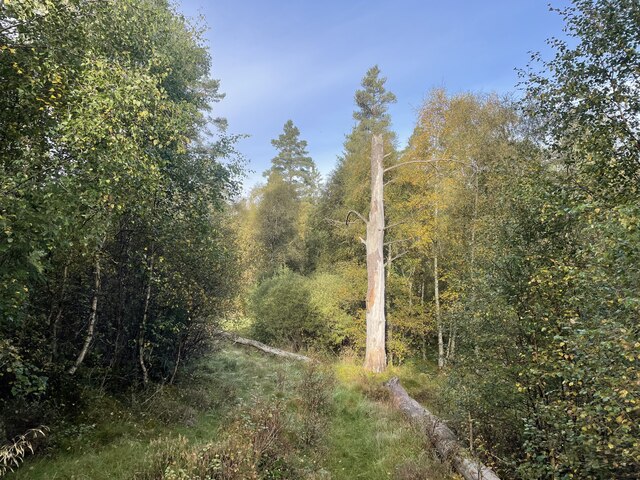
The wood is predominantly composed of native broadleaf trees such as oak, birch, and rowan, which create a vibrant and diverse ecosystem. The dense canopy offers a shaded and peaceful environment, making it a perfect retreat for those seeking tranquility amidst nature.

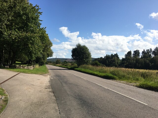
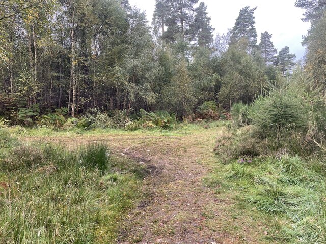
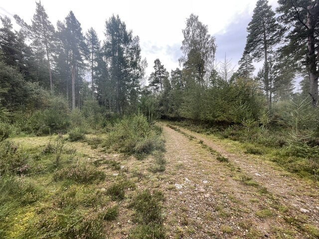
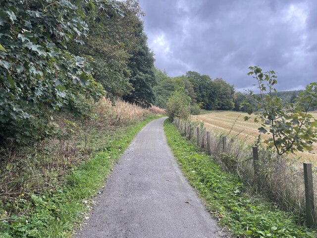
The wood is crisscrossed by a network of well-maintained trails, allowing visitors to explore its beauty on foot. These trails vary in difficulty, catering to both casual strollers and experienced hikers. Along the paths, hikers can observe a wide range of flora and fauna, including wildflowers, birds, and small mammals.

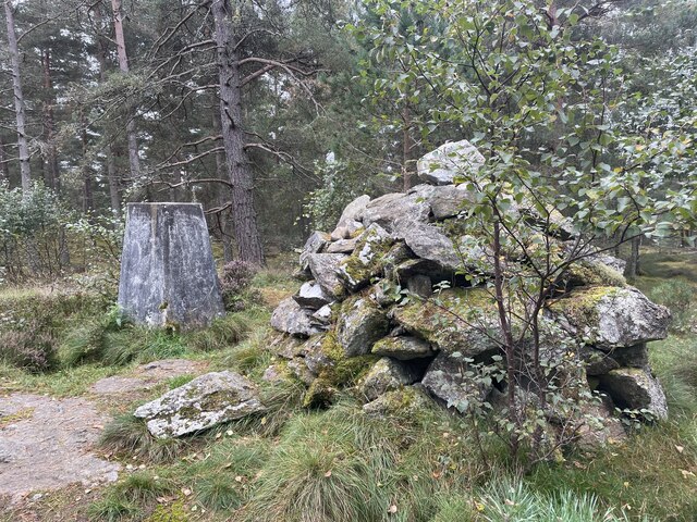
Braeside Wood is not only known for its natural beauty but also for its historical significance. The wood was once part of an ancient hunting estate and is home to a number of archaeological sites, including stone circles and burial mounds. These remnants of the past add an air of mystery and intrigue to the woodland.

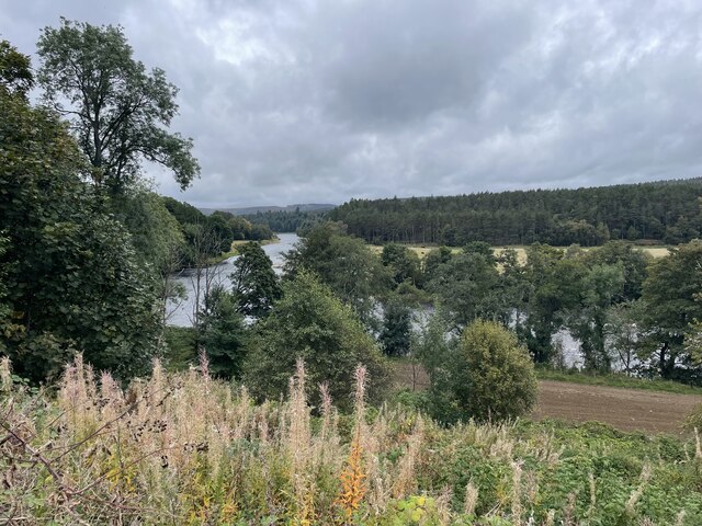
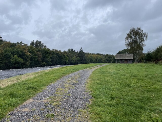
Visitors to Braeside Wood can take advantage of the various amenities provided, including picnic areas, benches, and information boards that provide interesting facts about the woodland and its inhabitants. Additionally, the wood offers stunning views of the surrounding countryside and the nearby River Dee.

Overall, Braeside Wood is a haven for nature lovers, offering a diverse range of flora and fauna, historical sites, and breathtaking scenery. It is a must-visit destination for anyone seeking a peaceful and immersive experience in the heart of Aberdeenshire.

If you have any feedback on the listing, please let us know in the comments section below.

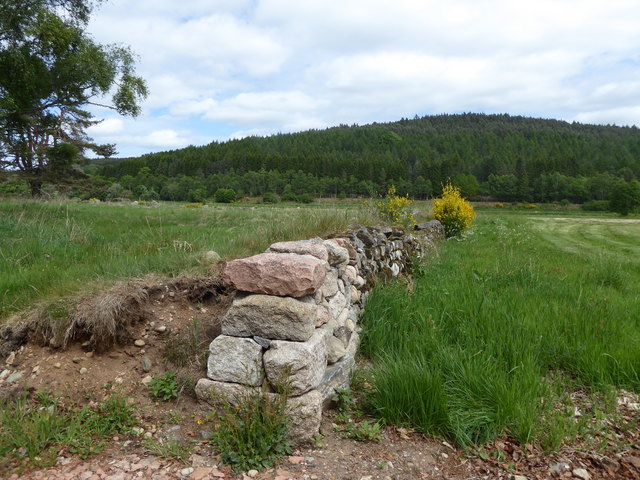
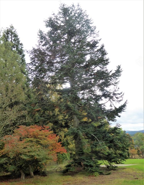
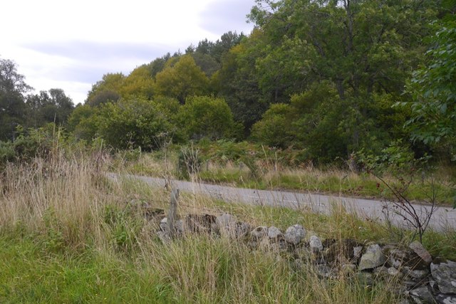
Braeside Wood Images

Images are sourced within 2km of 57.075121/-2.6789413 or Grid Reference NO5898. Thanks to Geograph Open Source API. All images are credited.

A93 towards Banchory
A lone dead tree Geocaching is a type of global treasure hunt of people looking for caches, or hidden stashes of objects. Geocaching may also be described as a series of hide-and-seek games, where hiders provide online clues for seekers. Seekers use global positioning system (GPS) devices to find hidden caches
A lone dead tree
Geocaching is a type of global treasure hunt of people looking for caches, or hidden stashes of objects. Geocaching may also be described as a series of hide-and-seek games, where hiders provide online clues for seekers. Seekers use global positioning system (GPS) devices to find hidden caches
Path junction in the forest Geocaching is a type of global treasure hunt of people looking for caches, or hidden stashes of objects. Geocaching may also be described as a series of hide-and-seek games, where hiders provide online clues for seekers. Seekers use global positioning system (GPS) devices to find hidden caches
Path junction in the forest
Geocaching is a type of global treasure hunt of people looking for caches, or hidden stashes of objects. Geocaching may also be described as a series of hide-and-seek games, where hiders provide online clues for seekers. Seekers use global positioning system (GPS) devices to find hidden caches
Path junction in the forest
Craigmore wood Trig Point
Looking towards the River Dee
The Deeside way
The Deeside way
Fishermans Bothy
Fishermans Bothy
River Dee at Bridge of Potarch from the air
A dry stane wall at Potarch Pointing towards Sluie Woods, beyond the River Dee.
A dry stane wall at Potarch
Pointing towards Sluie Woods, beyond the River Dee.
Part of a shelter belt around Kincardine Castle Enclosing the Castle, and the sloping 'meadow' in front of it.
Part of a shelter belt around Kincardine Castle
Enclosing the Castle, and the sloping 'meadow' in front of it.
Tree and hedge-lined road at Lower Tillydrine Looking north-eastward.
Tree and hedge-lined road at Lower Tillydrine
Looking north-eastward.
Cycle and Pathway beside the A93 at Cordach Looking south-eastward.
Cycle and Pathway beside the A93 at Cordach
Looking south-eastward.
Ordnance Survey Flush Bracket G915 This can be found on the wall of a building at Lower Tillydrine Farm. The benchmark's recorded height is 122.54 metres above sea level.
For more detail see : <span class="nowrap"><a title="https://www.bench-marks.org.uk/bm16684" rel="nofollow ugc noopener" href="https://www.bench-marks.org.uk/bm16684">Link</a><img style="margin-left:2px;" alt="External link" title="External link - shift click to open in new window" src="https://s1.geograph.org.uk/img/external.png" width="10" height="10"/></span>
Ordnance Survey Flush Bracket G915
This can be found on the wall of a building at Lower Tillydrine Farm. The benchmark's recorded height is 122.54 metres above sea level. For more detail see : LinkExternal link
Ordnance Survey Cut Mark This mark can be found on the wall of a barn at Lower Tillydrine Farm. No current OS record but an 1899 map indicates that it was 401.4 feet above sea level.
For more detail see : <span class="nowrap"><a title="https://www.bench-marks.org.uk/bm112849" rel="nofollow ugc noopener" href="https://www.bench-marks.org.uk/bm112849">Link</a><img style="margin-left:2px;" alt="External link" title="External link - shift click to open in new window" src="https://s1.geograph.org.uk/img/external.png" width="10" height="10"/></span>
Ordnance Survey Cut Mark
This mark can be found on the wall of a barn at Lower Tillydrine Farm. No current OS record but an 1899 map indicates that it was 401.4 feet above sea level. For more detail see : LinkExternal link
Ordnance Survey Fundamental Benchmark This can be found on land beside the A93 near to Cordach. The benchmark's recorded height is 93.9 metres above sea level.
For more detail see : <span class="nowrap"><a title="https://www.bench-marks.org.uk/bm1001" rel="nofollow ugc noopener" href="https://www.bench-marks.org.uk/bm1001">Link</a><img style="margin-left:2px;" alt="External link" title="External link - shift click to open in new window" src="https://s1.geograph.org.uk/img/external.png" width="10" height="10"/></span>
Ordnance Survey Fundamental Benchmark
This can be found on land beside the A93 near to Cordach. The benchmark's recorded height is 93.9 metres above sea level. For more detail see : LinkExternal link
Stubble near Potarch There is a hut beside the Dee in the background.
Stubble near Potarch
There is a hut beside the Dee in the background.
A93 Upstream of Potarch.
A93
Upstream of Potarch.
Show me another place!

Braeside Wood is located at Grid Ref: NO5898 (Lat: 57.075121, Lng: -2.6789413)

Unitary Authority: Aberdeenshire

Police Authority: North East

What 3 Words

///songs.measuring.token. Near Torphins, Aberdeenshire

Related Wikis

Kincardine O'Neil Hospital, Aberdeenshire

Kincardine O'Neil Hospital was founded in the 13th century in the village of Kincardine O'Neil in Scotland. Almost certainly it served as a traveler's...

Kincardine O'Neil

Kincardine O'Neil (Scottish Gaelic: Cinn Chàrdainn, Scots: Kinker) is a village in Aberdeenshire, Scotland. It is situated between the towns of Banchory...

Kincardine Castle, Royal Deeside

Kincardine Castle is a Victorian country house in Royal Deeside, Scotland. Formerly known as Kincardine House, it is the private home of the Bradford family...

Dinnie Stones

The Dinnie Stones (also called Stanes or Steens) are a pair of Scottish lifting stones located in Potarch, Aberdeenshire. They were made famous by strongman...

Have you been to Braeside Wood?

Leave your review of Braeside Wood below (or comments, questions and feedback).