Chadwick End

Settlement in Warwickshire

England

Chadwick End

Bakehouse Lane, Chadwick End From Birmingham Road
Bakehouse Lane, Chadwick End Credit: David Howard

Chadwick End is a charming village located in the county of Warwickshire, England. Situated approximately 6 miles southeast of Solihull, it is nestled amidst scenic countryside, offering residents and visitors a peaceful and idyllic setting.

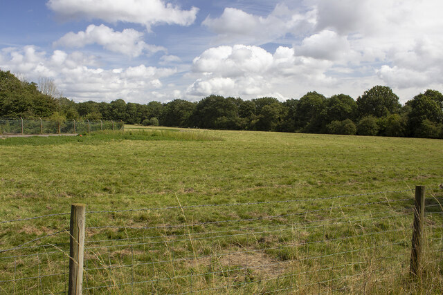
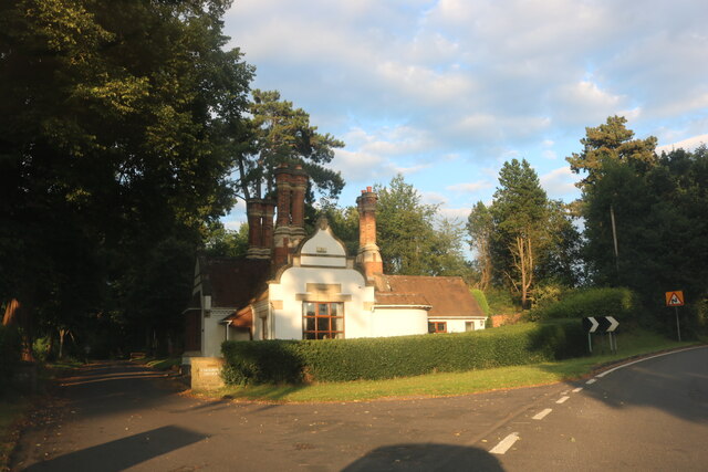
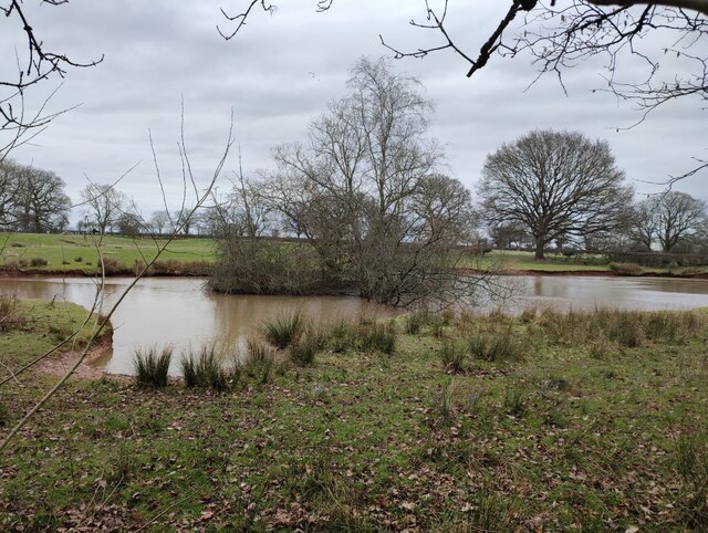
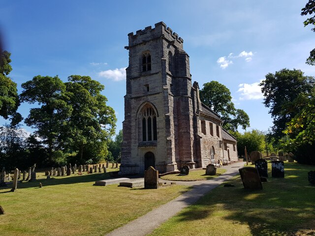
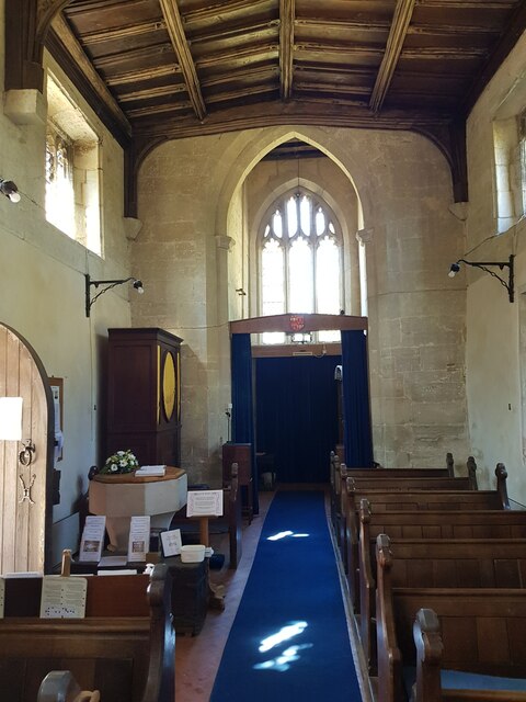
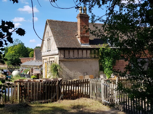
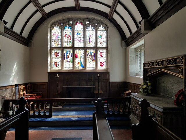
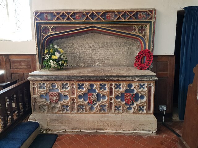
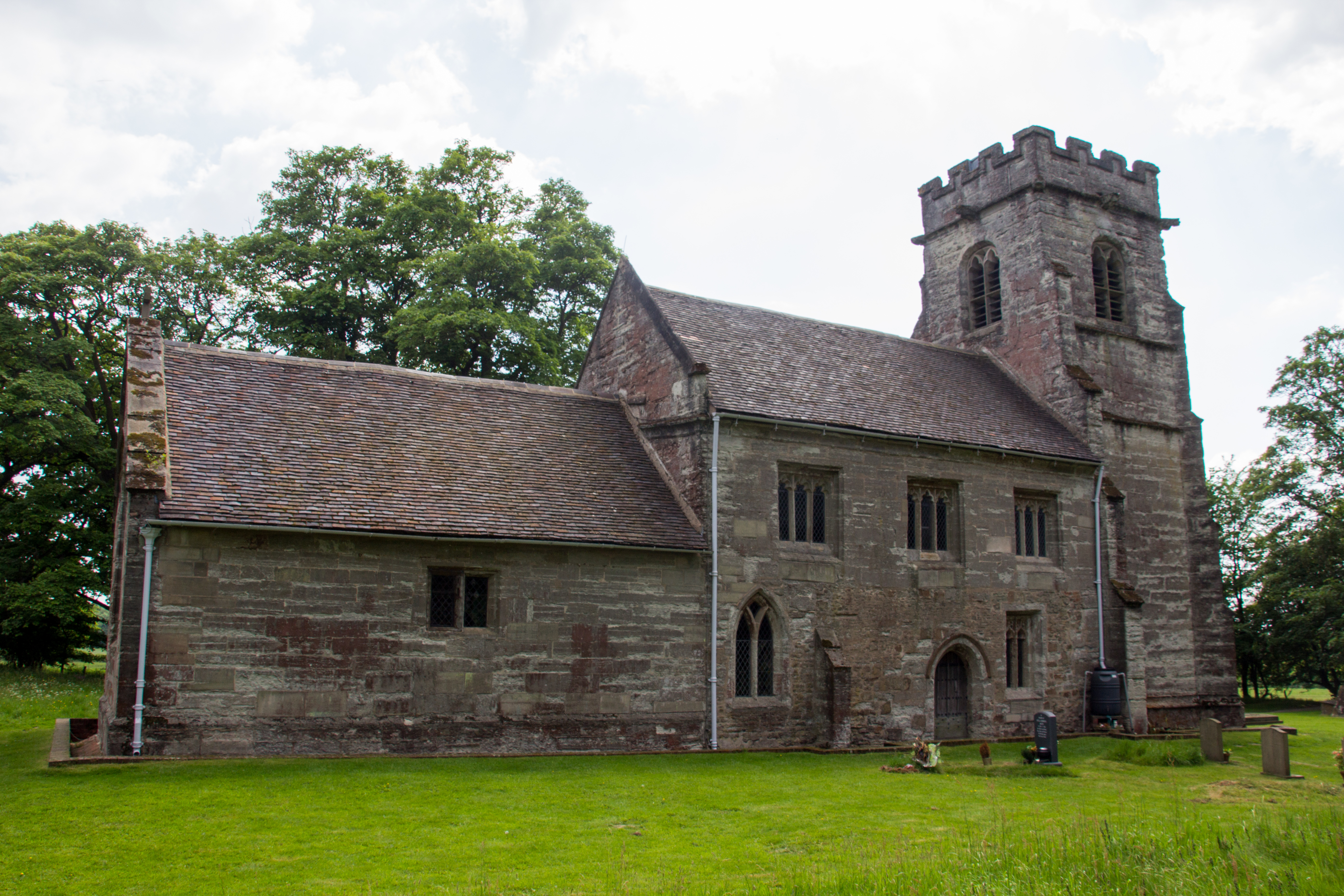
The village is known for its picturesque landscapes, with rolling fields, meandering streams, and lush greenery creating a serene atmosphere. The architecture in Chadwick End is predominantly traditional, with a mix of beautiful cottages and larger, more modern houses. The village is also home to a historic church, St. James the Great, which dates back to the 13th century and adds to the village's character.

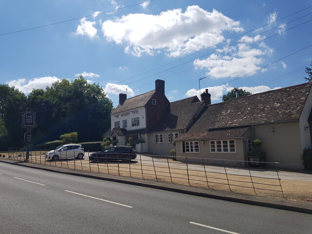
Despite its rural setting, Chadwick End benefits from its close proximity to amenities and transportation links. The nearby town of Solihull provides residents with a range of shops, restaurants, and leisure facilities. The village itself has a local pub, The Boot Inn, which offers a cozy atmosphere and serves delicious food and drinks.

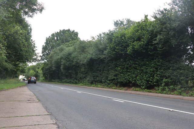
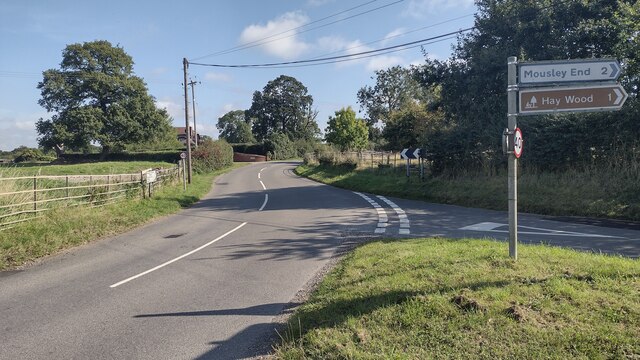
Chadwick End is also well-connected by road, with easy access to major routes such as the M40 and M42 motorways. This makes it convenient for residents to commute to nearby towns and cities, including Birmingham and Coventry. Additionally, the village is served by regular bus services, ensuring connectivity to surrounding areas.

With its tranquil surroundings, charming architecture, and convenient location, Chadwick End offers a desirable lifestyle for those seeking a peaceful village setting within close reach of modern amenities.

If you have any feedback on the listing, please let us know in the comments section below.
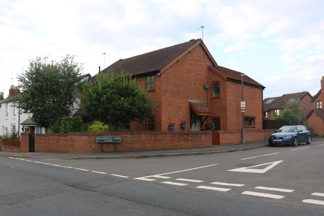
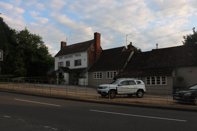
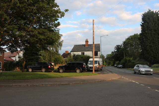
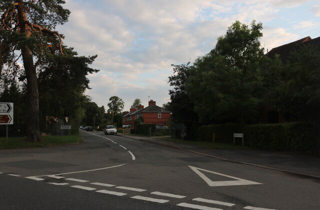
Chadwick End Images

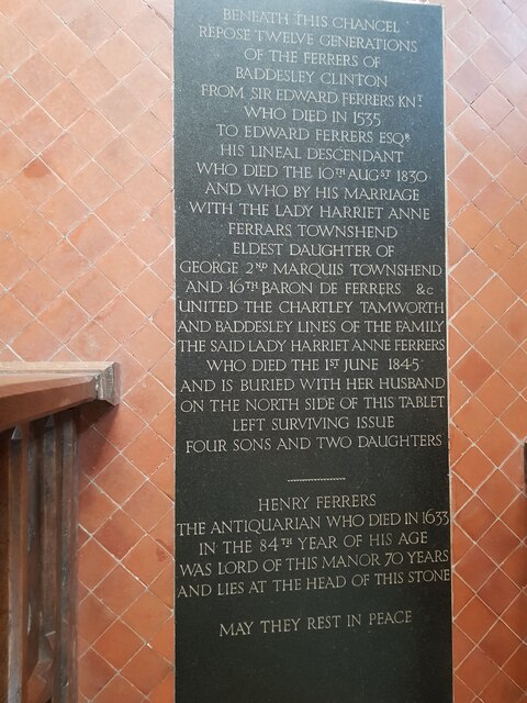
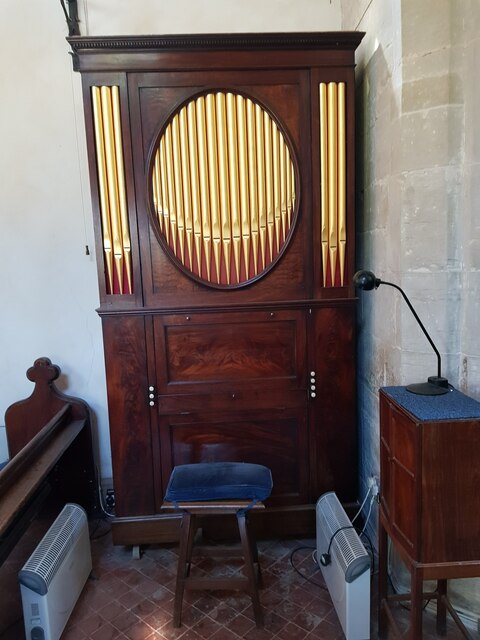
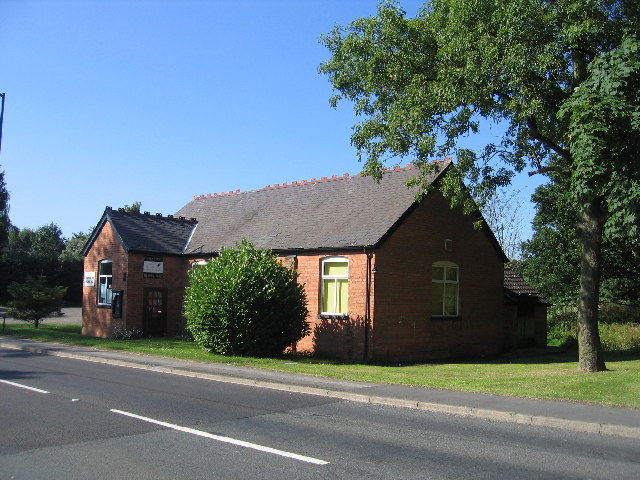
Images are sourced within 2km of 52.356888/-1.698235 or Grid Reference SP2073. Thanks to Geograph Open Source API. All images are credited.

Bakehouse Lane, Chadwick End From Birmingham Road
Bakehouse Lane, Chadwick End
From Birmingham Road
The Orange Tree, Chadwick End
Warwick Road, Chadwick End
Rising Lane, Baddesley Clinton
Woodland off School Lane Field and woodland off School Lane. Perimeter fence to Jaguar Land Rover facility
Woodland off School Lane
Field and woodland off School Lane. Perimeter fence to Jaguar Land Rover facility
The lodge at Chadwick Manor
Birmingham Road, Baddesley Clinton
The entrance to Pheasant Lakes Farm, Wroxall
Rising Lane Rising Lane passing the turn to Mousley End
Rising Lane
Rising Lane passing the turn to Mousley End
Pond on the edge of Hay Wood
St Michael's, Baddesley Clinton, Warwickshire  Next to but not part of the National Trust property.
St Michael's, Baddesley Clinton, Warwickshire
Next to but not part of the National Trust property.
The Orange Tree, Chadwick End
St Michael's Church, Baddesley Clinton (interior 1)
The Cottage, Baddesley Clinton
St Michael's Church, Baddesley Clinton (interior 2)
Tomb for Sir Edward Ferrers and family In St Michael's Church, Baddesley Clinton. The family owned Baddesley Clinton for generations.
Tomb for Sir Edward Ferrers and family
In St Michael's Church, Baddesley Clinton. The family owned Baddesley Clinton for generations.
The Ferrer's memorial in St Michael's Church, Baddesley Clinton
Mini organ, St Michael's Church, Baddesley Clinton
Show me another place!

Chadwick End is located at Grid Ref: SP2073 (Lat: 52.356888, Lng: -1.698235)

Unitary Authority: Solihull

Police Authority: West Midlands

What 3 Words

///onto.swept.aced. Near Wroxall, Warwickshire

Related Wikis

Chadwick End

Chadwick End is a small village which straddles the border of Warwickshire and the West Midlands Metropolitan Borough of Solihull, situated 3 miles (5...

Baddesley Clinton (village)

Baddesley Clinton is a village and civil parish in Warwickshire, England, about 5+1⁄2 miles (9 km) southeast of Solihull. The village has Anglo-Saxon origins...

Baddesley Clinton

Baddesley Clinton (grid reference SP199714) is a moated manor house, about 8 miles (13 km) north-west of the town of Warwick, in the village of Baddesley...
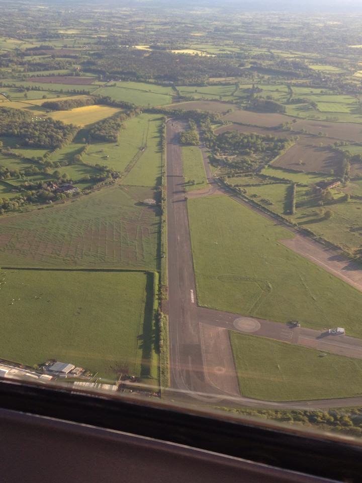
RAF Honiley

Royal Air Force Honiley or RAF Honiley is a former Royal Air Force station located in Wroxall, Warwickshire, 7 miles (11 km) southwest of Coventry, England...

Nearby Amenities

Located within 500m of 52.356888,-1.698235
Chadwick End
Place: hamlet
Wikidata: Q9188602
Wikipedia: en:Chadwick End
Lat/Long: 52.3553478/-1.6963511
Post Box
Collection Times: Mo-Fr 09:00; Sa 07:00
Operator: Royal Mail
Post Box Type: pillar
Postal Code: B93
Ref: B93 234D
Royal Cypher: GR
Royal Cypher Wikidata: Q33102273
Source: survey
Lat/Long: 52.3554066/-1.697647
Bus Stop
Oldwich Lane West / Warwick Rd
Bus: yes
Naptan AtcoCode: 43000109801
Naptan Bearing: NE
Naptan BusStopType: MKD
Naptan CommonName: Warwick Rd
Naptan Indicator: after
Naptan NaptanCode: nwmtagmg
Naptan Status: ACT
Naptan StopType: BCT
Naptan Street: OLDWICH LANE WEST
Naptan Towards: Balsall Common
Naptan Verified: no
Public Transport: platform
Route Ref: 88
Source: WMCA
Lat/Long: 52.3573129/-1.6991475
Bus Stop
Oldwich Lane West / Warwick Rd
Bus: yes
Naptan AtcoCode: 43000109802
Naptan Bearing: SW
Naptan BusStopType: MKD
Naptan CommonName: Warwick Rd
Naptan Indicator: before
Naptan NaptanCode: nwmtagmj
Naptan Status: ACT
Naptan StopType: BCT
Naptan Street: OLDWICH LANE WEST
Naptan Towards: Solihull
Naptan Verified: no
Public Transport: platform
Route Ref: 88
Source: WMCA
Lat/Long: 52.357402/-1.698851
Bus Stop
Orange Tree
Bus: yes
Naptan AtcoCode: 4200F014500
Naptan Bearing: NW
Naptan CommonName: Orange Tree
Naptan Indicator: Adj
Naptan Landmark: Orange Tree
Naptan NaptanCode: warampwd
Naptan Street: Warwick Road
Naptan Verified: no
Public Transport: platform
Source: naptan_import
Lat/Long: 52.355503/-1.6980563
Give Way
Source: Warwicks CC Aerial Imagery 2013
Lat/Long: 52.3566758/-1.7000181
Give Way
Source: Warwicks CC Aerial Imagery 2013
Lat/Long: 52.3567351/-1.6999191
Defibrillator
Emergency: defibrillator
Note: no ref 09/07/2019
Ref GB The Circuit: 9F8CCFA7-5531-4BE0-9BA8-B36DA561E0FE
Source: survey
Lat/Long: 52.3557765/-1.69793
Power: pole
Source: bing
Lat/Long: 52.360424/-1.696111
Power: pole
Source: bing
Lat/Long: 52.3599179/-1.6969773
Power: pole
Source: bing
Lat/Long: 52.3598114/-1.6975942
Power: pole
Source: bing
Lat/Long: 52.3597148/-1.6983748
Power: pole
Source: bing
Lat/Long: 52.3594347/-1.6996005
Power: pole
Source: bing
Lat/Long: 52.3591546/-1.7008477
Power: pole
Source: bing
Lat/Long: 52.3588974/-1.7020333
Power: pole
Source: bing
Lat/Long: 52.3586304/-1.7032832
Power: pole
Source: bing
Lat/Long: 52.3583552/-1.7047074
Power: pole
Ref: 720416
Source: wpd_opendata
Transformer: distribution
Lat/Long: 52.3544785/-1.6968231
Power: pole
Source: bing
Lat/Long: 52.3537626/-1.6974548
Power: pole
Source: bing
Lat/Long: 52.3531441/-1.6979818
Power: pole
Source: bing
Lat/Long: 52.3525691/-1.6984727
The data included in this document is from www.openstreetmap.org. The data is made available under ODbL.

Have you been to Chadwick End?

Leave your review of Chadwick End below (or comments, questions and feedback).