Priests Park Wood

Wood, Forest in Warwickshire

England

Priests Park Wood

Bakehouse Lane, Chadwick End From Birmingham Road
Bakehouse Lane, Chadwick End Credit: David Howard

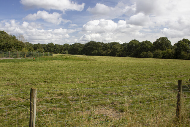
Priests Park Wood is a picturesque woodland located in Warwickshire, England. Covering an area of approximately 100 acres, it is nestled within the heart of the county and offers visitors a tranquil escape from the bustling city life. The wood is easily accessible, situated just a short distance from the town of Leamington Spa.

The wood is predominantly composed of native broadleaf trees, including oak, ash, and birch, which create a dense canopy that provides shade and shelter for a diverse range of flora and fauna. Walking through the wood, visitors can expect to encounter a rich variety of wildflowers, ferns, and mosses, adding bursts of color and texture to the forest floor.

Priests Park Wood is known for its abundance of wildlife, making it a popular destination for nature enthusiasts. The wood provides a habitat for a wide range of animals, including deer, foxes, badgers, and numerous bird species. Birdwatchers can spot woodpeckers, owls, and various songbirds throughout the year.

The wood also features several well-maintained trails, allowing visitors to explore its natural beauty at their own pace. These trails wind through the trees, leading to open clearings and scenic viewpoints. It is a perfect location for leisurely walks, family outings, or even a peaceful picnic surrounded by nature.

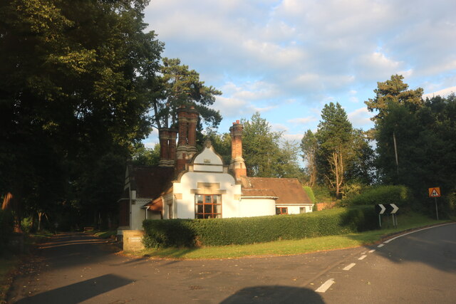
Priests Park Wood is a true gem in Warwickshire, offering visitors a peaceful retreat where they can connect with the natural world. With its stunning scenery, diverse wildlife, and well-maintained trails, it is a must-visit destination for anyone seeking a rejuvenating escape in the heart of England.

If you have any feedback on the listing, please let us know in the comments section below.

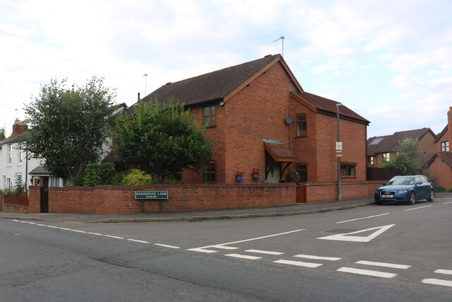
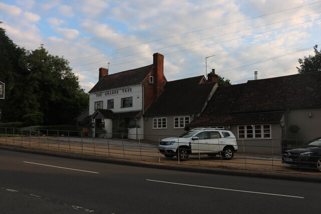
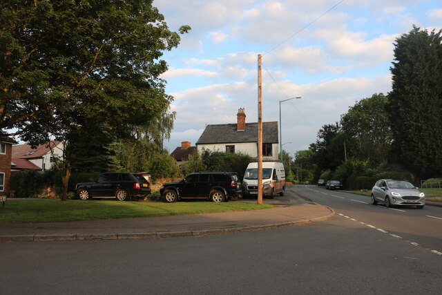
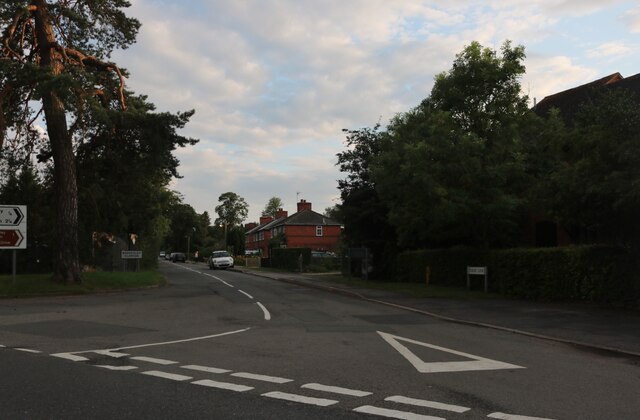
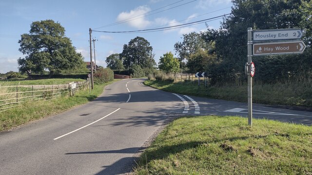
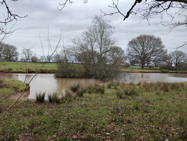
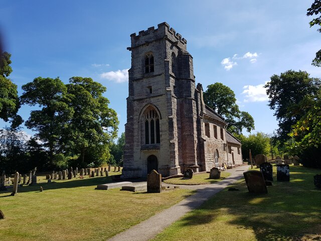
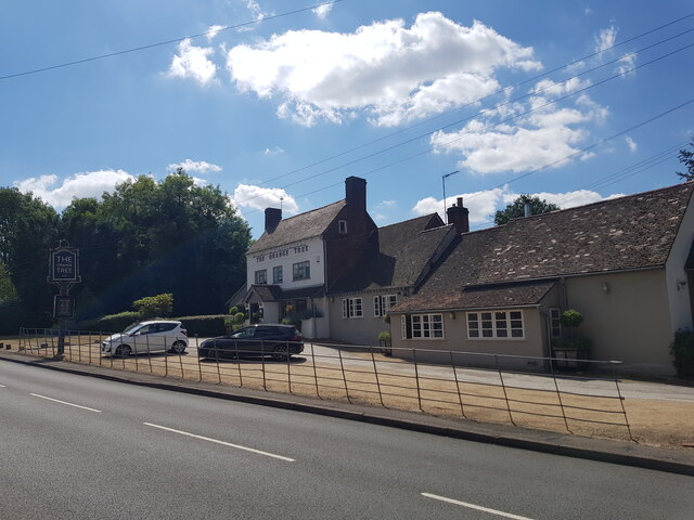
Priests Park Wood Images

Images are sourced within 2km of 52.356221/-1.6931701 or Grid Reference SP2073. Thanks to Geograph Open Source API. All images are credited.

Bakehouse Lane, Chadwick End From Birmingham Road
Bakehouse Lane, Chadwick End
From Birmingham Road
The Orange Tree, Chadwick End
Warwick Road, Chadwick End
Rising Lane, Baddesley Clinton
Woodland off School Lane Field and woodland off School Lane. Perimeter fence to Jaguar Land Rover facility
Woodland off School Lane
Field and woodland off School Lane. Perimeter fence to Jaguar Land Rover facility
The lodge at Chadwick Manor
Birmingham Road, Baddesley Clinton
The entrance to Pheasant Lakes Farm, Wroxall
Rising Lane Rising Lane passing the turn to Mousley End
Rising Lane
Rising Lane passing the turn to Mousley End
Pond on the edge of Hay Wood
St Michael's, Baddesley Clinton, Warwickshire  Next to but not part of the National Trust property.
St Michael's, Baddesley Clinton, Warwickshire
Next to but not part of the National Trust property.
The Orange Tree, Chadwick End
St Michael's Church, Baddesley Clinton (interior 1)
The Cottage, Baddesley Clinton
St Michael's Church, Baddesley Clinton (interior 2)
Tomb for Sir Edward Ferrers and family In St Michael's Church, Baddesley Clinton. The family owned Baddesley Clinton for generations.
Tomb for Sir Edward Ferrers and family
In St Michael's Church, Baddesley Clinton. The family owned Baddesley Clinton for generations.
The Ferrer's memorial in St Michael's Church, Baddesley Clinton
Mini organ, St Michael's Church, Baddesley Clinton
Show me another place!

Priests Park Wood is located at Grid Ref: SP2073 (Lat: 52.356221, Lng: -1.6931701)

Unitary Authority: Solihull

Police Authority: West Midlands

What 3 Words

///tadpoles.nerve.cubed. Near Wroxall, Warwickshire

Related Wikis

Chadwick End

Chadwick End is a small village which straddles the border of Warwickshire and the West Midlands Metropolitan Borough of Solihull, situated 3 miles (5...

Baddesley Clinton (village)

Baddesley Clinton is a village and civil parish in Warwickshire, England, about 5+1⁄2 miles (9 km) southeast of Solihull. The village has Anglo-Saxon origins...

RAF Honiley

Royal Air Force Honiley or RAF Honiley is a former Royal Air Force station located in Wroxall, Warwickshire, 7 miles (11 km) southwest of Coventry, England...

Baddesley Clinton

Baddesley Clinton (grid reference SP199714) is a moated manor house, about 8 miles (13 km) north-west of the town of Warwick, in the village of Baddesley...

Wroxall, Warwickshire

Wroxall is a small village and former civil parish, now in the parish of Beausale, Haseley, Honiley and Wroxall, in the Warwick district, in the county...

Lapworth railway station

Lapworth railway station serves the village of Kingswood, Warwickshire, near the village of Lapworth from which it takes its name. It has two platforms...

Wren's Cathedral

Wren's Cathedral, properly the Church of St Leonard and now a cathedral of the Communion of Evangelical Episcopal Churches, was originally the Lady Chapel...

Wroxall Abbey

Wroxall Abbey is a substantial Victorian mansion house situated at Wroxall, Warwickshire which was converted for use as a hotel, spa, wedding venue and...

Nearby Amenities

Located within 500m of 52.356221,-1.6931701
Chadwick End
Place: hamlet
Wikidata: Q9188602
Wikipedia: en:Chadwick End
Lat/Long: 52.3553478/-1.6963511
Post Box
Collection Times: Mo-Fr 09:00; Sa 07:00
Operator: Royal Mail
Post Box Type: pillar
Postal Code: B93
Ref: B93 234D
Royal Cypher: GR
Royal Cypher Wikidata: Q33102273
Source: survey
Lat/Long: 52.3554066/-1.697647
Bus Stop
Oldwich Lane West / Warwick Rd
Bus: yes
Naptan AtcoCode: 43000109801
Naptan Bearing: NE
Naptan BusStopType: MKD
Naptan CommonName: Warwick Rd
Naptan Indicator: after
Naptan NaptanCode: nwmtagmg
Naptan Status: ACT
Naptan StopType: BCT
Naptan Street: OLDWICH LANE WEST
Naptan Towards: Balsall Common
Naptan Verified: no
Public Transport: platform
Route Ref: 88
Source: WMCA
Lat/Long: 52.3573129/-1.6991475
Bus Stop
Oldwich Lane West / Warwick Rd
Bus: yes
Naptan AtcoCode: 43000109802
Naptan Bearing: SW
Naptan BusStopType: MKD
Naptan CommonName: Warwick Rd
Naptan Indicator: before
Naptan NaptanCode: nwmtagmj
Naptan Status: ACT
Naptan StopType: BCT
Naptan Street: OLDWICH LANE WEST
Naptan Towards: Solihull
Naptan Verified: no
Public Transport: platform
Route Ref: 88
Source: WMCA
Lat/Long: 52.357402/-1.698851
Bus Stop
Orange Tree
Bus: yes
Naptan AtcoCode: 4200F014500
Naptan Bearing: NW
Naptan CommonName: Orange Tree
Naptan Indicator: Adj
Naptan Landmark: Orange Tree
Naptan NaptanCode: warampwd
Naptan Street: Warwick Road
Naptan Verified: no
Public Transport: platform
Source: naptan_import
Lat/Long: 52.355503/-1.6980563
Give Way
Source: Warwicks CC Aerial Imagery 2013
Lat/Long: 52.3566758/-1.7000181
Give Way
Source: Warwicks CC Aerial Imagery 2013
Lat/Long: 52.3567351/-1.6999191
Give Way
Source: Warwicks CC Aerial Imagery 2013
Lat/Long: 52.3518278/-1.6946477
Defibrillator
Emergency: defibrillator
Note: no ref 09/07/2019
Source: survey
Lat/Long: 52.3557765/-1.69793
Power: pole
Source: bing
Lat/Long: 52.3599179/-1.6969773
Power: pole
Source: bing
Lat/Long: 52.3598114/-1.6975942
Power: pole
Ref: 720416
Source: wpd_opendata
Transformer: distribution
Lat/Long: 52.3544785/-1.6968231
Power: pole
Source: bing
Lat/Long: 52.3537626/-1.6974548
Power: pole
Source: bing
Lat/Long: 52.3531441/-1.6979818
The data included in this document is from www.openstreetmap.org. The data is made available under ODbL.

Have you been to Priests Park Wood?

Leave your review of Priests Park Wood below (or comments, questions and feedback).