Barn Wood
Wood, Forest in Gloucestershire Cotswold
England
Barn Wood

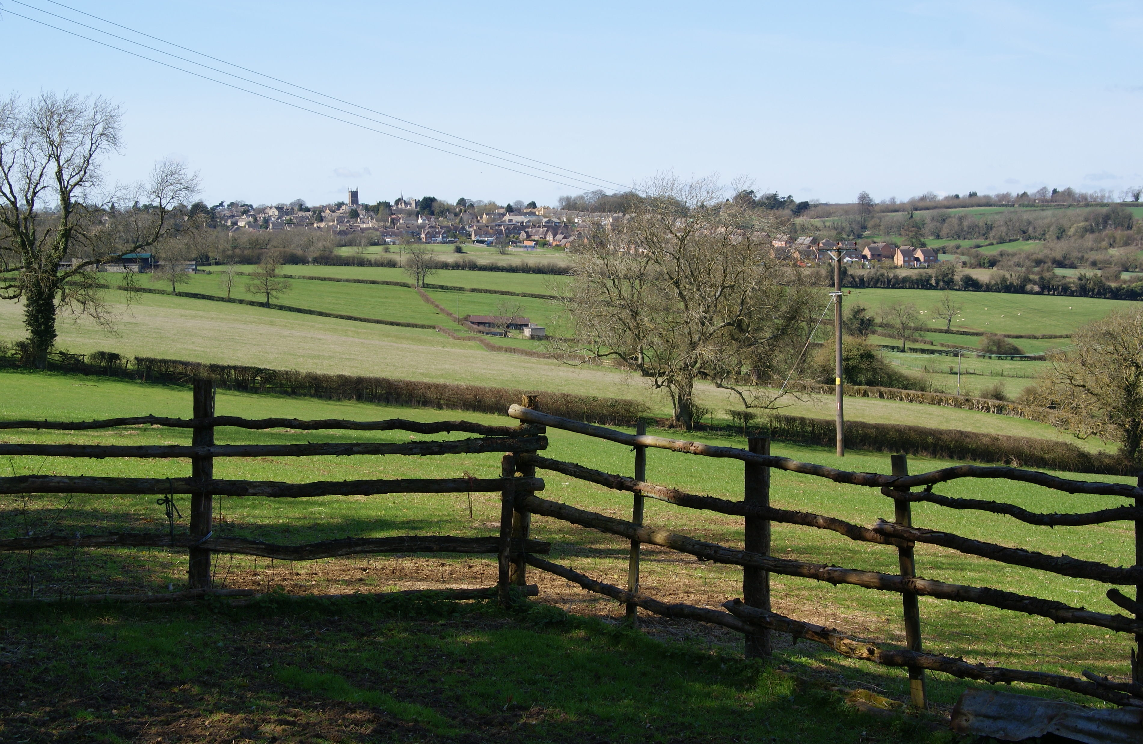
Barn Wood is a small village located in the county of Gloucestershire, England. Situated within the larger Forest of Dean, this charming settlement is known for its picturesque surroundings and rich natural heritage. The village takes its name from the ancient woodland that surrounds it, offering residents and visitors a peaceful and idyllic environment.
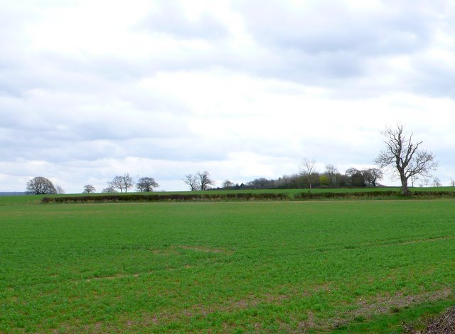
The woodlands in Barn Wood are characterized by a diverse range of trees, including oak, beech, and birch. This provides a habitat for a variety of wildlife, such as deer, foxes, and numerous bird species. Nature lovers and outdoor enthusiasts are drawn to Barn Wood for its tranquil forest walks and opportunities for wildlife spotting.
Historically, Barn Wood has been an important resource for the local community. The timber from the forests has been used for centuries, providing materials for construction, fuel, and furniture making. Even today, the forestry industry plays a significant role in the local economy.
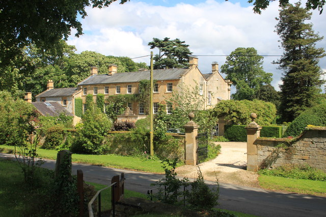
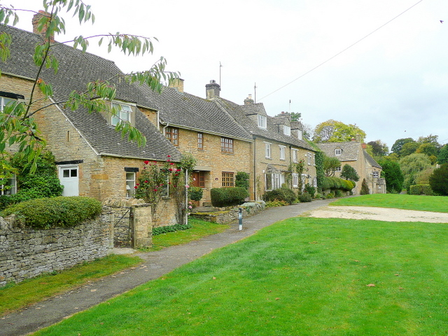
The village itself is small, with a close-knit community that values its natural surroundings. Barn Wood is home to a handful of houses and cottages, blending harmoniously with the surrounding woodland. The residents enjoy a peaceful lifestyle, away from the hustle and bustle of larger towns and cities.
Overall, Barn Wood in Gloucestershire offers a serene and enchanting setting, where nature and history seamlessly intertwine. Whether exploring the ancient woodlands or immersing oneself in the village's peaceful atmosphere, visitors are sure to find solace and beauty in this charming Forest of Dean village.
If you have any feedback on the listing, please let us know in the comments section below.
Barn Wood Images
Images are sourced within 2km of 51.966131/-1.6958533 or Grid Reference SP2029. Thanks to Geograph Open Source API. All images are credited.


Barn Wood is located at Grid Ref: SP2029 (Lat: 51.966131, Lng: -1.6958533)
Administrative County: Gloucestershire
District: Cotswold
Police Authority: Gloucestershire
What 3 Words
///mankind.encourage.blink. Near Donnington, Gloucestershire
Nearby Locations
Related Wikis
Evenlode
Evenlode is a village and civil parish (ONS Code 23UC051) in the Cotswold District of eastern Gloucestershire in England.Evenlode is bordered by the Gloucestershire...
Broadwell, Cotswold
Broadwell is a village and civil parish in the English county of Gloucestershire. It is about 1.5 miles (2.4 km) north of Stow-on-the-Wold, In the 2001...

Donnington, Gloucestershire
Donnington is a small village and civil parish in Gloucestershire, near the Roman Fosse Way in the Cotswold District Council area of south west England...
Moreton-in-Marsh
Moreton-in-Marsh is a market town in the Evenlode Valley, within the Cotswolds district and Area of Outstanding Natural Beauty in Gloucestershire, England...

Moreton Rangers F.C.
Moreton Rangers Football Club is a football club based in Moreton-in-Marsh, Gloucestershire, England. Affiliated in the Gloucestershire County Football...

North Cotswold Rural District
North Cotswold was, from 1935 to 1974, a rural district in the administrative county of Gloucestershire, England. == Formation == Under the Local Government...
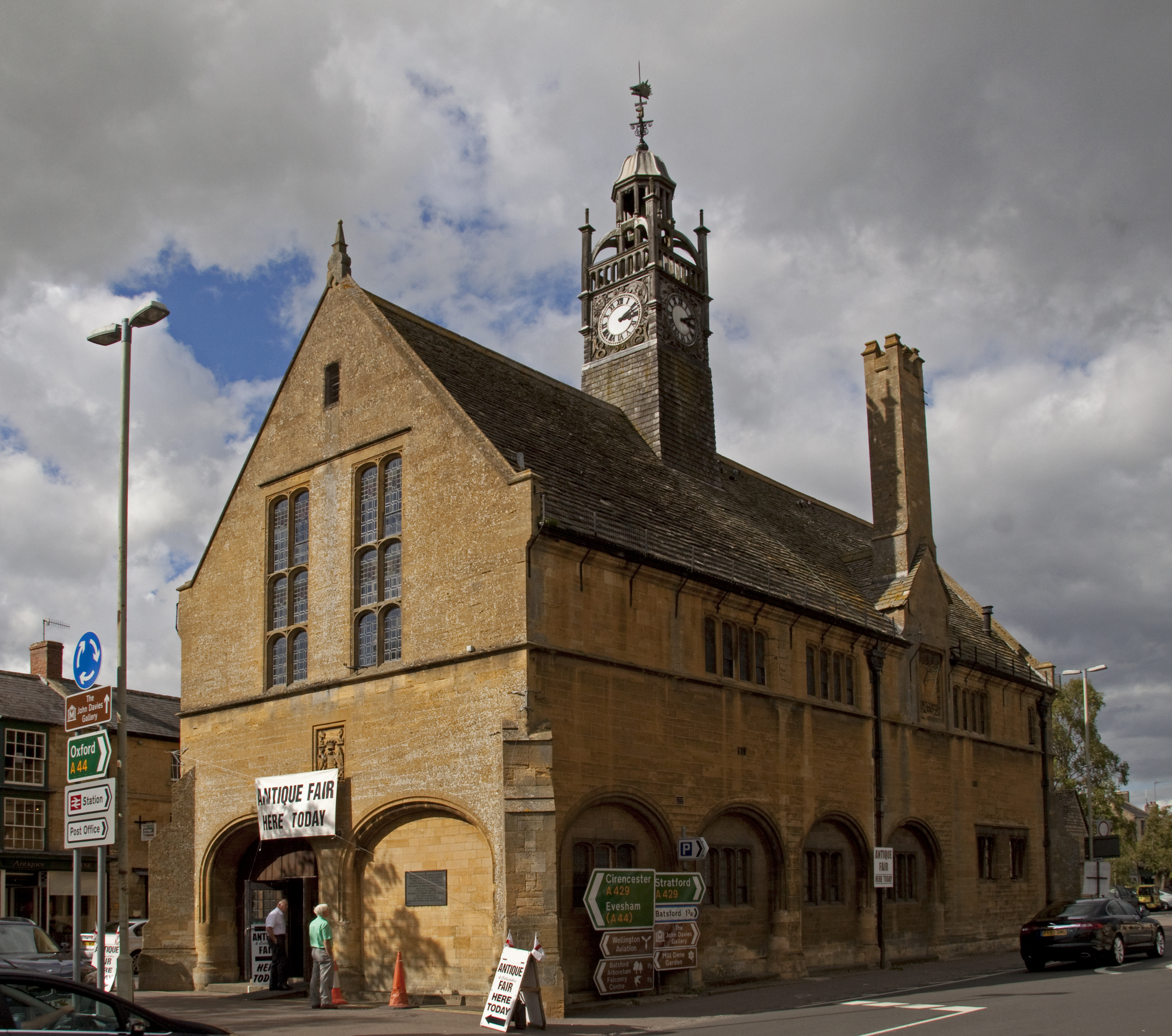
Redesdale Hall
Redesdale Hall, also referred to as Moreton-in-Marsh Town Hall, is a municipal building in the High Street, Moreton-in-Marsh, Gloucestershire, England...
Battle of Stow-on-the-Wold
The Battle of Stow-on-the-Wold (21 March 1646) took place during the First English Civil War. It was a Parliamentarian victory by detachments of the New...
Nearby Amenities
Located within 500m of 51.966131,-1.6958533Have you been to Barn Wood?
Leave your review of Barn Wood below (or comments, questions and feedback).