Chadwick

Settlement in Worcestershire Wychavon

England

Chadwick

Fishing lake at Larford Farm This is the southern end of a large fishing lake at Larford Farm. Below the dark bank in the background is the River Severn
Fishing lake at Larford Farm Credit: Philip Halling

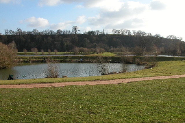
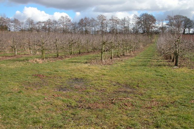
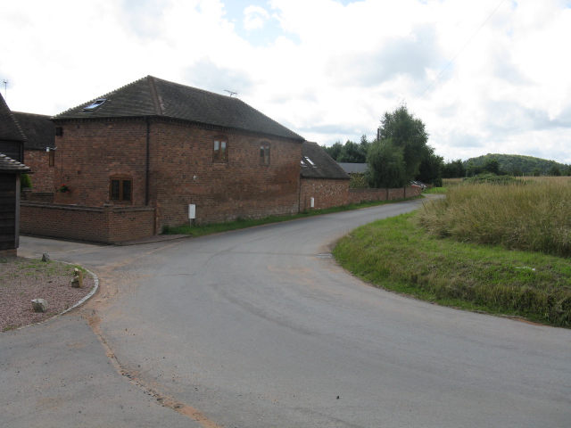
Chadwick is a small village located in the county of Worcestershire, England. Situated in the heart of the Midlands, Chadwick is known for its charming rural setting and picturesque landscapes. The village is nestled amidst rolling hills and green pastures, providing a tranquil and idyllic environment for its residents.

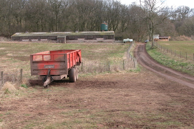
With a population of around 500 people, Chadwick retains a close-knit community feel. The village is dotted with traditional cottages and farmhouses, showcasing its rich history and heritage. The local architecture reflects the area's agricultural roots and gives Chadwick a timeless charm.

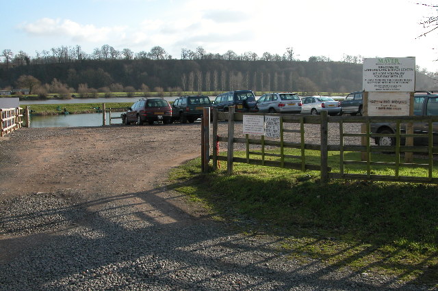
The village is home to a few essential amenities, including a local pub, a village hall, and a small convenience store. While these amenities may be limited, the close proximity to larger towns and cities ensures that residents have easy access to a wider range of services and facilities.

Chadwick benefits from its location near several areas of natural beauty. The surrounding countryside offers opportunities for outdoor activities such as hiking, cycling, and horse riding. The nearby Malvern Hills provide stunning panoramic views of the surrounding landscape and attract visitors from far and wide.

Transport links in Chadwick are relatively limited, with no direct train station in the village. However, the nearby towns of Worcester and Kidderminster provide rail connections to major cities such as Birmingham and London. The village is well-connected by road, with the A449 and A442 providing easy access to neighboring areas.

Overall, Chadwick offers a peaceful and charming village lifestyle, with its beautiful surroundings and strong sense of community making it an attractive place to live or visit.

If you have any feedback on the listing, please let us know in the comments section below.
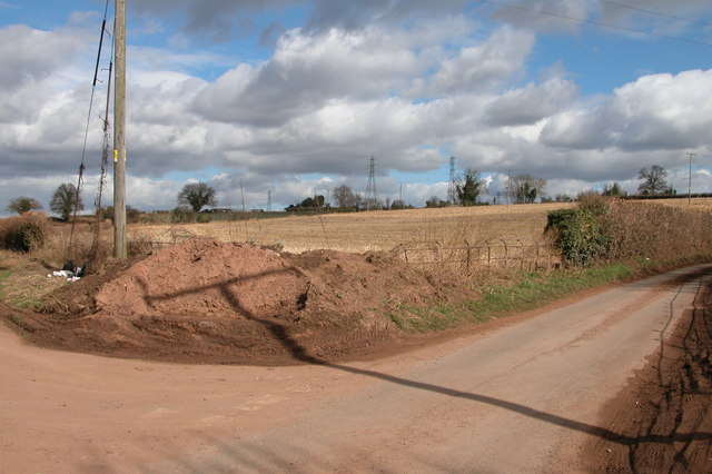
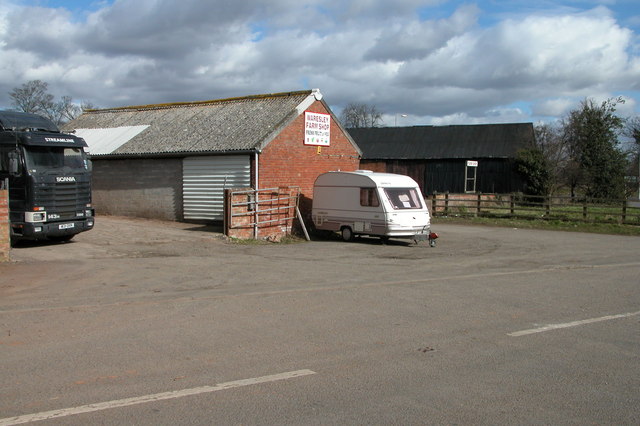
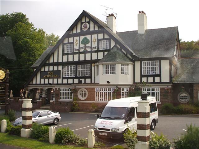
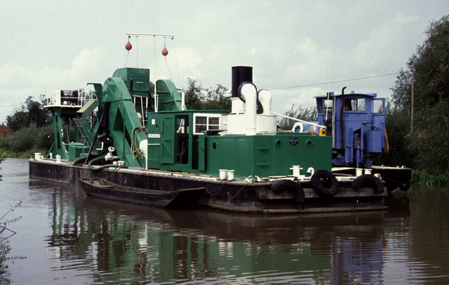
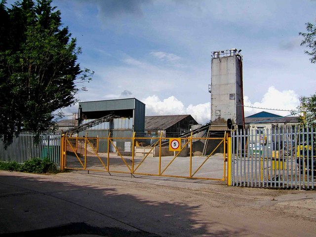
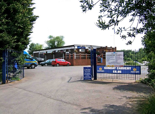
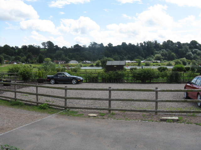
Chadwick Images

Images are sourced within 2km of 52.323308/-2.246463 or Grid Reference SO8369. Thanks to Geograph Open Source API. All images are credited.

Fishing lake at Larford Farm This is the southern end of a large fishing lake at Larford Farm. Below the dark bank in the background is the River Severn
Fishing lake at Larford Farm
This is the southern end of a large fishing lake at Larford Farm. Below the dark bank in the background is the River Severn
Fishing lake at Larford Farm Popular fishing lake to the south of Stourport-on-Severn.
Fishing lake at Larford Farm
Popular fishing lake to the south of Stourport-on-Severn.
Chicken shed near Lincomb
Bishops Wood, Crossway Green Power cables at Bishop's Wood.
Bishops Wood, Crossway Green
Power cables at Bishop's Wood.
The Mitre Oak, Crossway Green The pub is on the A449 on the round-about and turning for Stourport-on-Severn.
The Mitre Oak, Crossway Green
The pub is on the A449 on the round-about and turning for Stourport-on-Severn.
Orchard on Lincomb Lane, Lincomb
Parsons Lane and Crown Lane crossroads, near Crossway Green
Waresley Farm Shop, Waresley This farm shop is situated by a round-about on the A449 between Worcester and Kidderminster.
Waresley Farm Shop, Waresley
This farm shop is situated by a round-about on the A449 between Worcester and Kidderminster.
The Mitre Oak, Crossway Green Looking west.
The Mitre Oak, Crossway Green
Looking west.
Steam ladder dredger John Bradley, Lincomb Lock, Stourport Now sadly retired and without her plant. She was in full cry when this photo was taken and we were just waiting for a boat ride across to her.
Steam ladder dredger John Bradley, Lincomb Lock, Stourport
Now sadly retired and without her plant. She was in full cry when this photo was taken and we were just waiting for a boat ride across to her.
Entrance to Stourport Marina, Nelson Road, Stourport-on-Severn This is one of the entrances to the large Stourport Marina. The Marina is adjacent to and connected to the River Severn.
Entrance to Stourport Marina, Nelson Road, Stourport-on-Severn
This is one of the entrances to the large Stourport Marina. The Marina is adjacent to and connected to the River Severn.
Nelson Road, Stourport-on-Severn This is part of Nelson Road. On the left, behind the metal railings, is Stourport Marina. <a href="https://www.geograph.org.uk/photo/1373705">SO8169 : Entrance to Stourport Marina, Nelson Road, Stourport-on-Severn</a>. Apart from giving access to the marina, Nelson Road serves as one of the main roads through a dreary industrial estate, near the River Severn, and tucked well away from the main part of the town. There is little point in coming down here unless you have specific business with one of the firms based on the estate.
Nelson Road, Stourport-on-Severn
This is part of Nelson Road. On the left, behind the metal railings, is Stourport Marina. SO8169 : Entrance to Stourport Marina, Nelson Road, Stourport-on-Severn. Apart from giving access to the marina, Nelson Road serves as one of the main roads through a dreary industrial estate, near the River Severn, and tucked well away from the main part of the town. There is little point in coming down here unless you have specific business with one of the firms based on the estate.
Start of private road to Lincomb Lock on the River Severn At the end of Nelson Road, on the Sandy Lane Industrial Estate, this private road commences and gives authorised vehicles access to Lincomb Lock. The lock is the highest on the River Severn; the official head of navigation being just upstream of Stourport Bridge.
Start of private road to Lincomb Lock on the River Severn
At the end of Nelson Road, on the Sandy Lane Industrial Estate, this private road commences and gives authorised vehicles access to Lincomb Lock. The lock is the highest on the River Severn; the official head of navigation being just upstream of Stourport Bridge.
Urban fringe seen from Nelson Road, Stourport-on-Severn The industrial structures are on the very edge of Sandy Lane Industrial Estate. Viewed from across the field adjacent to part of Nelson Road.
Urban fringe seen from Nelson Road, Stourport-on-Severn
The industrial structures are on the very edge of Sandy Lane Industrial Estate. Viewed from across the field adjacent to part of Nelson Road.
Industrial buildings in Nelson Road, Stourport-on-Severn These buildings are in Nelson Road, which is part of the Sandy Lane Industrial Estate. This is one of the parts of Stourport that tourists don't normally visit.
Industrial buildings in Nelson Road, Stourport-on-Severn
These buildings are in Nelson Road, which is part of the Sandy Lane Industrial Estate. This is one of the parts of Stourport that tourists don't normally visit.
Stourport Marina Clubhouse, Nelson Road, Stourport-on-Severn The Marina's Clubhouse and restaurant is open to visitors as well as members, and is licensed. The signs proclaim the lunchtime Sunday Carvery, but you would have to know this place exists, as "passing trade" would be virtually non-existent. These premises are right at the far end of the Sandy Lane Industrial Estate. Another entrance to the marina itself is at: <a href="https://www.geograph.org.uk/photo/1373705">SO8169 : Entrance to Stourport Marina, Nelson Road, Stourport-on-Severn</a>.
Stourport Marina Clubhouse, Nelson Road, Stourport-on-Severn
The Marina's Clubhouse and restaurant is open to visitors as well as members, and is licensed. The signs proclaim the lunchtime Sunday Carvery, but you would have to know this place exists, as "passing trade" would be virtually non-existent. These premises are right at the far end of the Sandy Lane Industrial Estate. Another entrance to the marina itself is at: SO8169 : Entrance to Stourport Marina, Nelson Road, Stourport-on-Severn.
Larford Farm
Larford Farm
Larford Farm - Holiday Park & Chalets
Show me another place!

Chadwick is located at Grid Ref: SO8369 (Lat: 52.323308, Lng: -2.246463)

Administrative County: Worcestershire

District: Wychavon

Police Authority: West Mercia

What 3 Words

///wades.presuming.recent. Near Hartlebury, Worcestershire

Nearby Locations

Chadwick

Related Wikis

Crossway Green

Crossway Green is a village in Worcestershire, England.

Hartlebury

Hartlebury is a village and civil parish in the Wychavon district of Worcestershire, England. It is 4 miles (6.4 km) south of Kidderminster. The village...
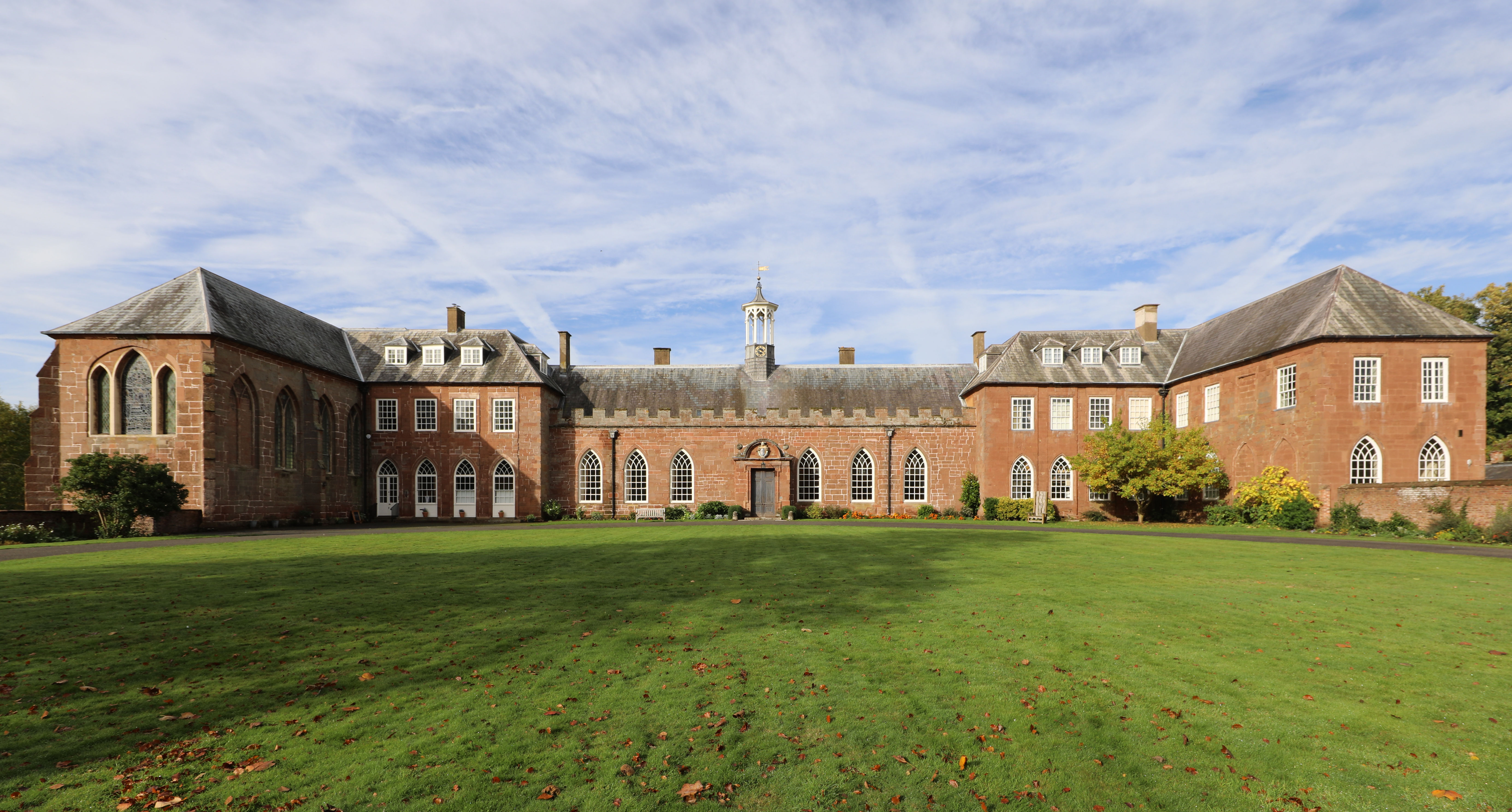
Hartlebury Castle

Hartlebury Castle, a Grade I listed building, near Hartlebury in Worcestershire, central England, was built in the mid-13th century as a fortified manor...

Hartlebury Common

Hartlebury Common is an area of lowland heath in north Worcestershire, England, situated just outside the town of Stourport-on-Severn. Hartlebury Common...

Nearby Amenities

Located within 500m of 52.323308,-2.246463
Bus Stop
Parsons Lane
Bus: yes
Naptan AtcoCode: 2000G056500
Naptan Bearing: NW
Naptan CommonName: Parsons Lane
Naptan Crossing: Parsons lane
Naptan Indicator: Opp
Naptan NaptanCode: wocgmgmt
Naptan PlusbusZoneRef: KDRMNST
Naptan Street: Stourport Road
Naptan Verified: no
Public Transport: platform
Source: naptan_import
Lat/Long: 52.3192872/-2.2446117
Chadwick
Place: hamlet
Lat/Long: 52.3232386/-2.2477565
Power: tower
Source: Bing
Lat/Long: 52.322631/-2.2462388
Power: tower
Source: Bing
Lat/Long: 52.31932/-2.2431172
Power: tower
Source: Bing
Lat/Long: 52.3224012/-2.2427238
Power: tower
Source: Bing
Lat/Long: 52.3264742/-2.2447992
Power: tower
Source: Bing
Lat/Long: 52.3256524/-2.2403282
Power: tower
Source: Bing
Lat/Long: 52.3203821/-2.2468725
Power: tower
Source: Bing
Lat/Long: 52.326686/-2.2445635
Power: tower
Source: Bing
Lat/Long: 52.3256177/-2.2472429
Power: tower
Source: Bing
Lat/Long: 52.3275584/-2.248254
Power: tower
Source: Bing
Lat/Long: 52.3259858/-2.2470585
Power: pole
Lat/Long: 52.3204587/-2.2461097
Chadwick South
Power: pole
Transformer: distribution
Voltage Primary: 11000
Lat/Long: 52.3197742/-2.2456497
Power: pole
Lat/Long: 52.3192388/-2.24778
Power: pole
Lat/Long: 52.3224281/-2.2481557
Power: pole
Lat/Long: 52.3200414/-2.2467065
Power: pole
Lat/Long: 52.3201463/-2.2472805
Power: pole
Lat/Long: 52.3215783/-2.2470673
Power: pole
Lat/Long: 52.3202742/-2.2476265
Location Transition: yes
Power: pole
Lat/Long: 52.3198495/-2.245576
Power: pole
Lat/Long: 52.3201791/-2.2445648
Power: pole
Lat/Long: 52.3212513/-2.2513897
Power: pole
Lat/Long: 52.321489/-2.2523231
Power: pole
Lat/Long: 52.3199242/-2.2438406
Power: pole
Lat/Long: 52.3209185/-2.2500378
Power: pole
Lat/Long: 52.3196096/-2.242993
Bell's Farm Shop
Shop: greengrocer
Lat/Long: 52.3222845/-2.2479935
Power: pole
Lat/Long: 52.3215155/-2.2449704
Power: pole
Lat/Long: 52.321152/-2.2450151
Power: pole
Lat/Long: 52.3209835/-2.2451706
Location Transition: yes
Power: pole
Lat/Long: 52.320798/-2.2453416
Location Transition: yes
Power: pole
Lat/Long: 52.3218451/-2.2443973
Power: pole
Lat/Long: 52.3252158/-2.2525373
Power: pole
Lat/Long: 52.3233167/-2.2500869
Power: pole
Lat/Long: 52.3236839/-2.2496564
Power: pole
Lat/Long: 52.3240511/-2.2521656
Power: pole
Lat/Long: 52.3230528/-2.2489711
Power: pole
Source: bing
Lat/Long: 52.3210436/-2.2525379
Power: pole
Lat/Long: 52.3250913/-2.2404626
Power: pole
Lat/Long: 52.3245503/-2.2408247
Crown Lane Chadwick
Power: pole
Transformer: distribution
Voltage Primary: 11000
Lat/Long: 52.3241659/-2.2451095
Power: pole
Lat/Long: 52.3241552/-2.2439133
Power: pole
Lat/Long: 52.3231843/-2.2429376
Parsons Lane Bungalow
Power: pole
Transformer: distribution
Voltage Primary: 11000
Lat/Long: 52.3226757/-2.2430308
Power: pole
Lat/Long: 52.3240093/-2.2427894
Power: pole
Lat/Long: 52.3241626/-2.2427505
Power: pole
Lat/Long: 52.3239609/-2.2412284
Power: pole
Lat/Long: 52.323106/-2.241799
Power: pole
Lat/Long: 52.3223187/-2.2423287
Power: pole
Transformer: distribution
Voltage Primary: 11000
Lat/Long: 52.3212961/-2.2425869
Power: pole
Lat/Long: 52.3209346/-2.2426674
Location Transition: yes
Power: pole
Lat/Long: 52.3204173/-2.2428028
Location Transition: yes
Power: pole
Lat/Long: 52.320178/-2.2428471
Chadwick Hill
Power: pole
Transformer: distribution
Voltage Primary: 11000
Lat/Long: 52.3233282/-2.2492281
Power: pole
Lat/Long: 52.3242573/-2.249961
Power: pole
Lat/Long: 52.3245749/-2.250537
Power: pole
Lat/Long: 52.3248183/-2.2511861
Power: pole
Lat/Long: 52.3249827/-2.2517741
Bullocks Farm
Power: pole
Transformer: distribution
Voltage Primary: 11000
Lat/Long: 52.3250691/-2.2520504
The data included in this document is from www.openstreetmap.org. The data is made available under ODbL.

Have you been to Chadwick?

Leave your review of Chadwick below (or comments, questions and feedback).