Arntilly Wood
Wood, Forest in Aberdeenshire
Scotland
Arntilly Wood

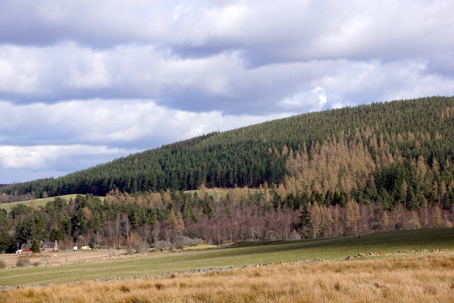
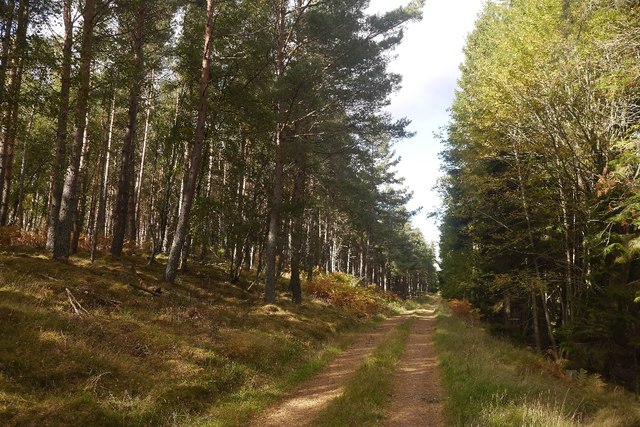
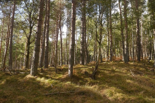
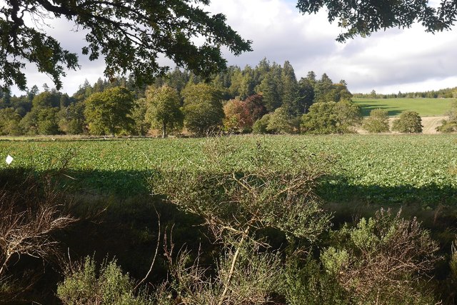
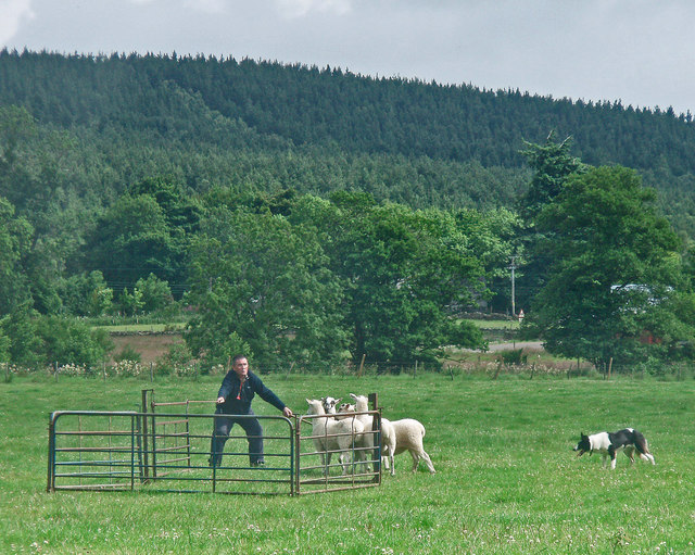
Arntilly Wood is a picturesque woodland located in Aberdeenshire, Scotland. Situated near the village of Turriff, it covers an area of approximately 42 hectares. The wood is primarily composed of native tree species, including oak, birch, and pine, creating a diverse and vibrant ecosystem.
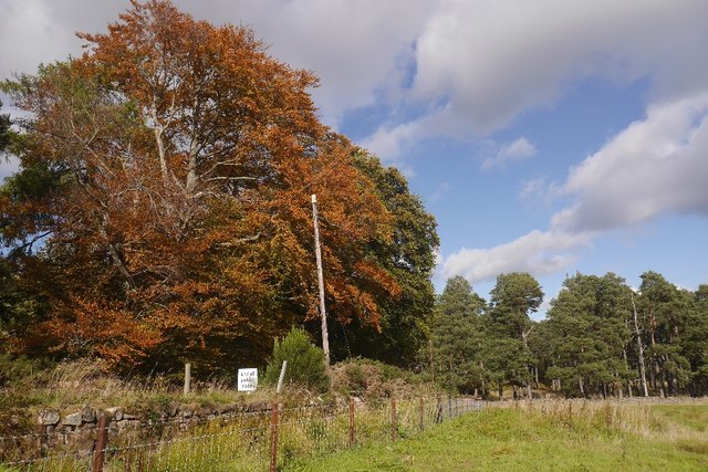
The forest boasts a rich biodiversity, providing a habitat for various wildlife species. Bird enthusiasts can spot a variety of species, such as woodpeckers, owls, and thrushes, while red squirrels can be seen darting through the trees. The wood is also home to a plethora of flora, including bluebells, primroses, and wild garlic, creating a colorful and vibrant display during the spring months.
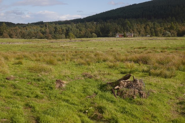
Arntilly Wood offers a tranquil and scenic environment, making it a popular destination for nature lovers and outdoor enthusiasts. The wood features several well-maintained trails, allowing visitors to explore and appreciate its natural beauty. These paths are suitable for walkers of all abilities and offer the opportunity to observe the woodland's diverse flora and fauna up close.
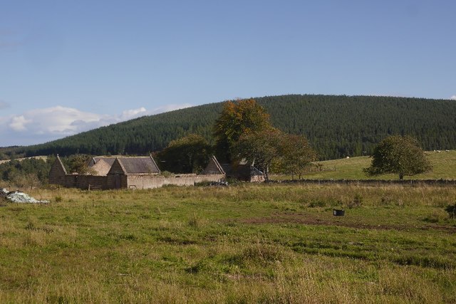
The wood has historical significance as well. It is believed that the area was once part of a hunting ground for the Scottish nobility in ancient times. Today, remnants of old stone structures and boundary walls can still be found, serving as a reminder of the wood's past.
Arntilly Wood is a true gem of Aberdeenshire, offering a peaceful retreat where visitors can immerse themselves in nature and experience the beauty of the Scottish countryside.
If you have any feedback on the listing, please let us know in the comments section below.
Arntilly Wood Images
Images are sourced within 2km of 57.032917/-2.698618 or Grid Reference NO5793. Thanks to Geograph Open Source API. All images are credited.


Arntilly Wood is located at Grid Ref: NO5793 (Lat: 57.032917, Lng: -2.698618)
Unitary Authority: Aberdeenshire
Police Authority: North East
What 3 Words
///wooden.stuck.shameless. Near Aboyne, Aberdeenshire
Nearby Locations
Related Wikis
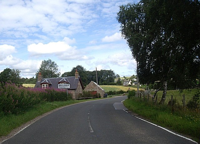
Ballogie
Ballogie is a rural community and an estate in the Lower Deeside area of Aberdeenshire, Scotland. Most of Ballogie lies within the parish of Birse, although...

Corsedardar Hill
Corsedardar Hill is a mountain landform in the Grampian Mountains of Aberdeenshire, Scotland. This hill is located in the Lower Deeside region within the...
Kinminity
Kinminity is a former village located south-east of Birse, Aberdeenshire in Scotland. == History == The property was in hands of the cadet family of Sutherlands...
Birse
Birse (Scottish Gaelic: Braois/Breis) is a parish in the Lower Deeside area of Aberdeenshire, Scotland, which includes the communities of Finzean and Ballogie...
Nearby Amenities
Located within 500m of 57.032917,-2.698618Have you been to Arntilly Wood?
Leave your review of Arntilly Wood below (or comments, questions and feedback).