Arntilly Craig
Hill, Mountain in Aberdeenshire
Scotland
Arntilly Craig

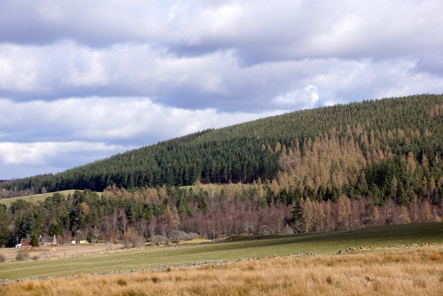
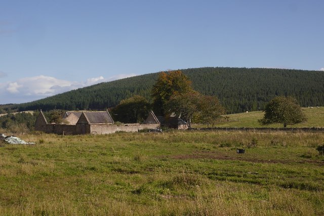
Arntilly Craig is a prominent hill/mountain located in Aberdeenshire, Scotland. Standing at an elevation of approximately 405 meters (1,328 feet), it offers breathtaking views of the surrounding countryside. The hill is situated near the village of Portsoy, just a few miles away from the picturesque Moray Firth coastline.
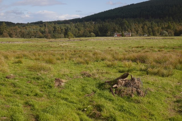
Arntilly Craig is renowned for its natural beauty and is a popular destination for outdoor enthusiasts. The hill is characterized by its rugged terrain, with steep slopes and rocky outcrops. It is covered in heather and grasses, providing a rich habitat for a variety of wildlife, including red deer, mountain hares, and various bird species.
Hikers and climbers are drawn to Arntilly Craig due to its challenging nature and rewarding views. Several well-marked paths and trails lead to the summit, allowing visitors to explore the hill at their own pace. From the top, on a clear day, one can enjoy panoramic vistas of the rolling Aberdeenshire countryside, the sparkling waters of the Moray Firth, and even catch a glimpse of the distant Cairngorm Mountains.
Arntilly Craig also holds historical significance. In the past, the hill was used as a landmark for sailors navigating the treacherous waters of the Moray Firth. Today, remnants of an old ruined tower can still be found at the summit, serving as a reminder of the area's rich past.
Overall, Arntilly Craig is a captivating and challenging hill/mountain that offers visitors a chance to immerse themselves in the natural beauty and history of Aberdeenshire.
If you have any feedback on the listing, please let us know in the comments section below.
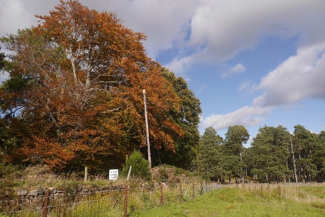
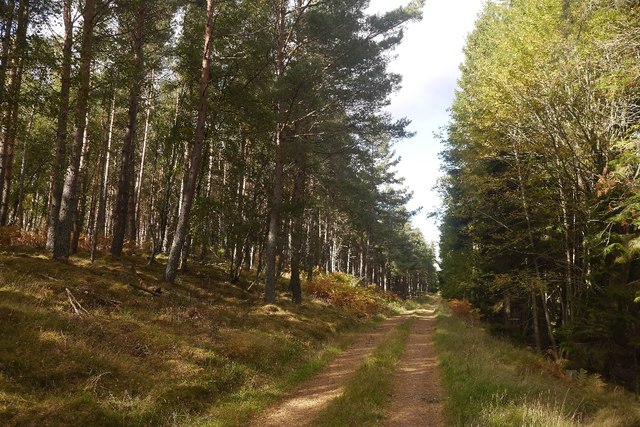
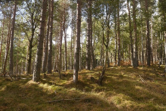
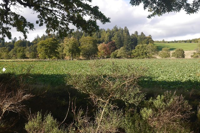
Arntilly Craig Images
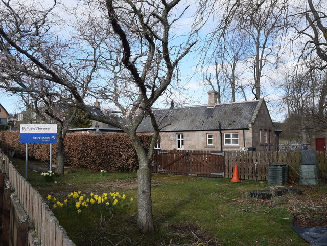
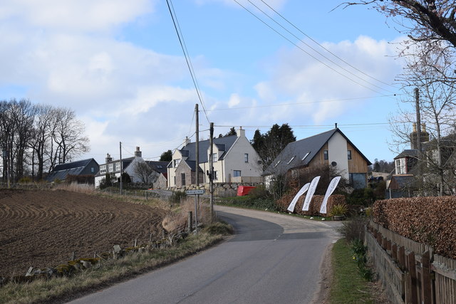
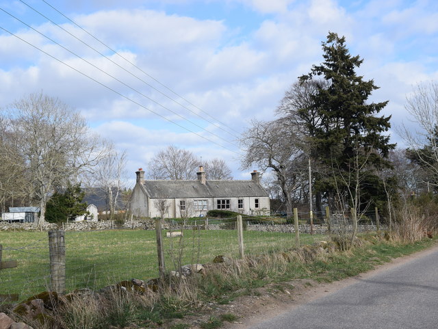
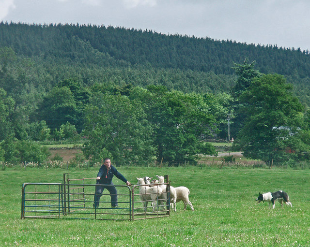
Images are sourced within 2km of 57.034873/-2.6989184 or Grid Reference NO5793. Thanks to Geograph Open Source API. All images are credited.


Arntilly Craig is located at Grid Ref: NO5793 (Lat: 57.034873, Lng: -2.6989184)
Unitary Authority: Aberdeenshire
Police Authority: North East
What 3 Words
///file.prominent.they. Near Aboyne, Aberdeenshire
Nearby Locations
Related Wikis
Ballogie
Ballogie is a rural community and an estate in the Lower Deeside area of Aberdeenshire, Scotland. Most of Ballogie lies within the parish of Birse, although...

Corsedardar Hill
Corsedardar Hill is a mountain landform in the Grampian Mountains of Aberdeenshire, Scotland. This hill is located in the Lower Deeside region within the...
Kinminity
Kinminity is a former village located south-east of Birse, Aberdeenshire in Scotland. == History == The property was in hands of the cadet family of Sutherlands...
Birse
Birse (Scottish Gaelic: Braois/Breis) is a parish in the Lower Deeside area of Aberdeenshire, Scotland, which includes the communities of Finzean and Ballogie...
Nearby Amenities
Located within 500m of 57.034873,-2.6989184Have you been to Arntilly Craig?
Leave your review of Arntilly Craig below (or comments, questions and feedback).