Barr Hill
Hill, Mountain in Aberdeenshire
Scotland
Barr Hill

Barr Hill is a prominent hill located in Aberdeenshire, Scotland. Situated in the eastern part of the country, it forms part of the scenic landscape of this region. Rising to an elevation of approximately 1,240 feet (378 meters), Barr Hill offers stunning panoramic views of the surrounding countryside.
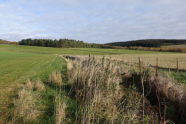
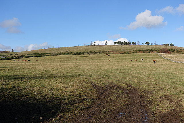
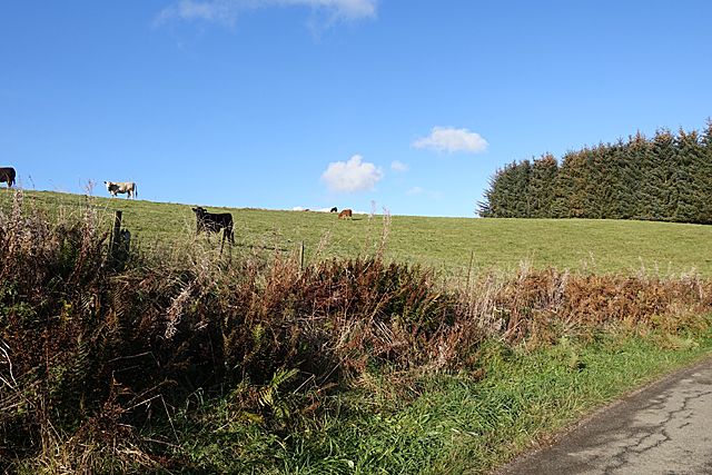
This hill is characterized by its distinctive shape, with a rounded summit and steep slopes. The terrain is mostly covered in heather, grasses, and scattered shrubs, providing a diverse habitat for local flora and fauna. The hill is also home to various bird species, such as grouse and peregrine falcons, making it a popular spot for birdwatchers.
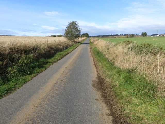
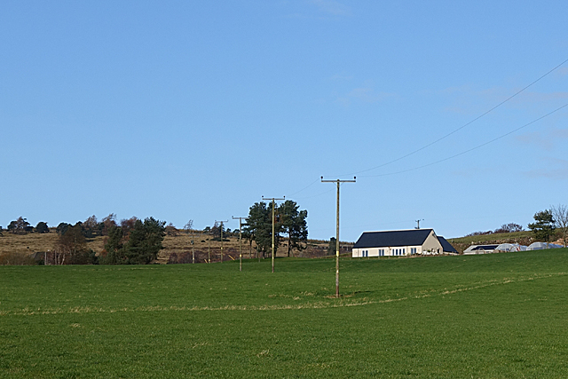
Accessing Barr Hill is relatively easy as it is located near the town of Banchory, and there are several paths and trails leading to its summit. It is a favorite destination for hikers and outdoor enthusiasts who enjoy the challenge of climbing its slopes. The ascent is moderately difficult, but the reward is the breathtaking vista from the top, offering sweeping views of the surrounding countryside, including the River Dee and the nearby Grampian Mountains.
Barr Hill also holds historical significance as it is believed to have been a site of Iron Age settlements, with remnants of ancient forts and earthworks still visible today. Archaeologists have discovered artifacts and evidence of human occupation from this time period.
Overall, Barr Hill is a picturesque and historically rich destination, offering visitors the opportunity to connect with nature, enjoy stunning views, and explore the region's ancient past.
If you have any feedback on the listing, please let us know in the comments section below.
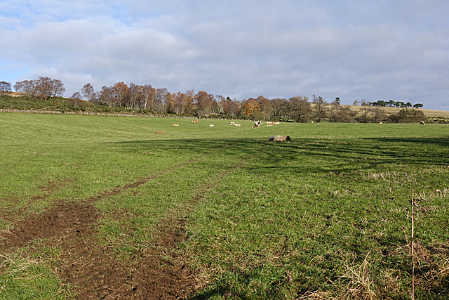
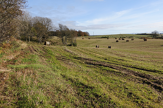
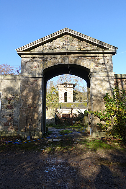
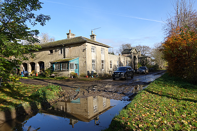
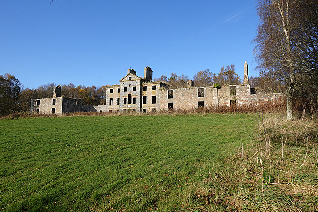
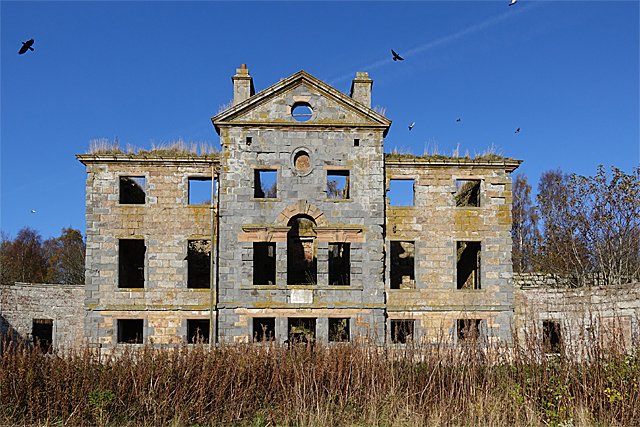
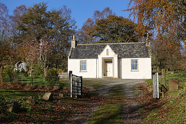
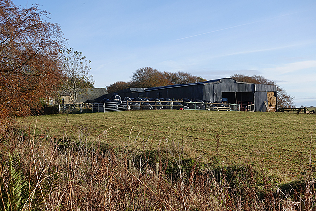
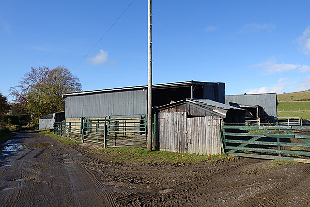
Barr Hill Images
Images are sourced within 2km of 57.364423/-2.7052408 or Grid Reference NJ5730. Thanks to Geograph Open Source API. All images are credited.

Barr Hill is located at Grid Ref: NJ5730 (Lat: 57.364423, Lng: -2.7052408)
Unitary Authority: Aberdeenshire
Police Authority: North East
What 3 Words
///clutches.croutons.avocado. Near Insch, Aberdeenshire
Nearby Locations
Related Wikis

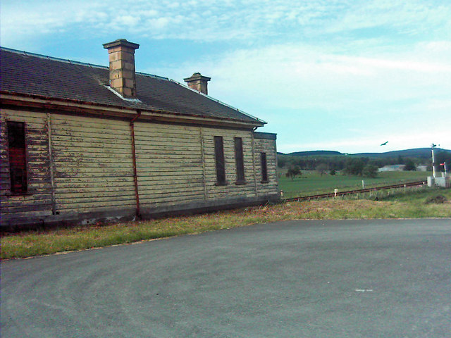
Wardhouse railway station
Wardhouse railway station served the area of Wardhouse, Aberdeenshire, Scotland from 1854 to 1961 on the Great North of Scotland Railway. == History... ==

Wardhouse Castle
Wardhouse Castle was a 13th-century tower house, about 2.5 miles (4.0 km) west of Insch, Aberdeenshire, Scotland. The castle was called Weredors, Wardes...
Kennethmont railway station
Kennethmont railway station served the village of Kennethmont, Aberdeenshire, Scotland from 1854 to 1968 on the Great North of Scotland Railway. ��2�...

Ardmore distillery
Ardmore distillery is a single malt Scotch whisky distillery, located in the village of Kennethmont, Scotland. The distillery is owned and operated by...

Ardlair Stone
The Ardlair Stone is a class I Pictish stone that stands in a field in Ardlair, Kennethmont, Aberdeenshire, Scotland. It is associated with a number of...

Leith Hall
Leith Hall is a country house in Kennethmont, Aberdeenshire, Scotland. It was built in 1650, on the site of the medieval Peill Castle, and was the home...
Kennethmont
Kennethmont (archaically Kinnethmont, or Kirkhill of Kennethmont) is a village in the Marr area of Aberdeenshire, Scotland, approximately 8 miles (13 km...

Dunnideer Castle
Dunnideer Castle, now ruined, was a tower house located near Insch, Aberdeenshire, Scotland. It was built c. 1260 partially from the remains of an existing...
Nearby Amenities
Located within 500m of 57.364423,-2.7052408Have you been to Barr Hill?
Leave your review of Barr Hill below (or comments, questions and feedback).