Quithel Wood

Wood, Forest in Aberdeenshire

Scotland

Quithel Wood

Path junction in the forest Geocaching is a type of global treasure hunt of people looking for caches, or hidden stashes of objects. Geocaching may also be described as a series of hide-and-seek games, where hiders provide online clues for seekers. Seekers use global positioning system (GPS) devices to find hidden caches
Path junction in the forest Credit: Ralph Greig

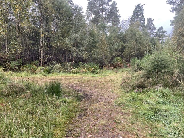
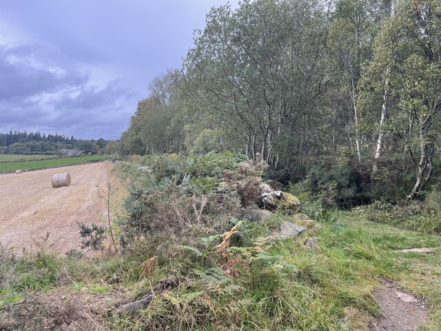
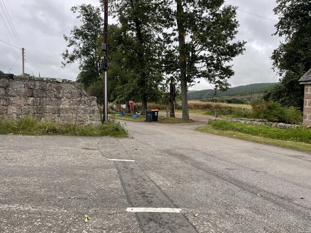
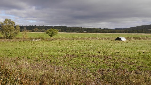
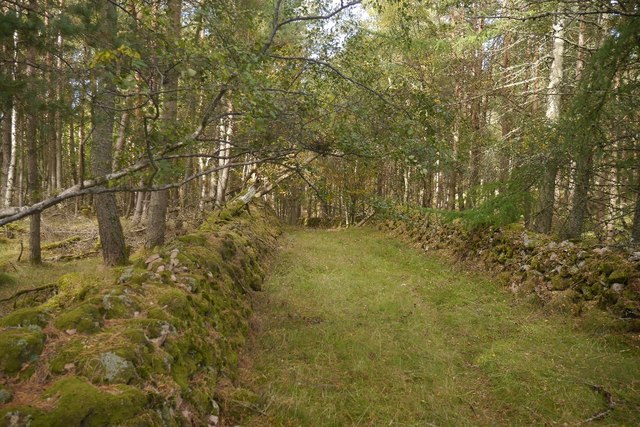
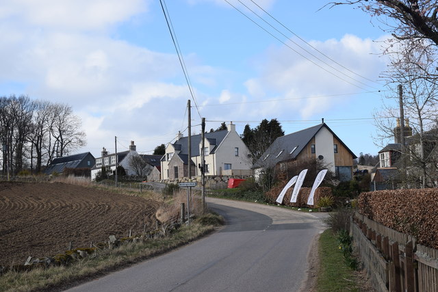
Quithel Wood is a picturesque forest located in Aberdeenshire, Scotland. Covering an area of approximately 500 acres, it is a significant natural landmark in the region. The wood is situated near the small village of Quithel, which adds to its charm and accessibility.

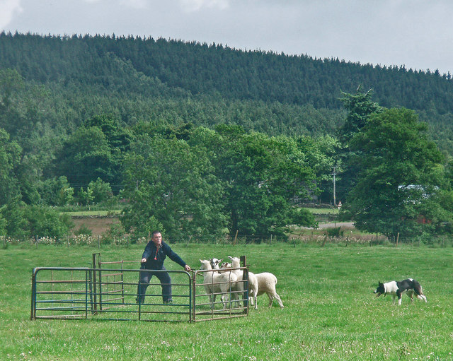
The forest is known for its diverse and abundant wildlife, making it a popular destination for nature enthusiasts and birdwatchers. Visitors can spot a variety of bird species, including woodpeckers, owls, and various songbirds. Additionally, the forest is home to several mammal species such as red deer, foxes, and badgers.

Quithel Wood boasts a rich history, with evidence of human activity dating back centuries. The area was once inhabited by ancient Celts, and remnants of their settlements can still be found within the forest. These archaeological sites provide a glimpse into the past and add an intriguing element to the woodland experience.

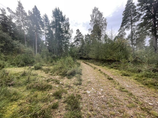
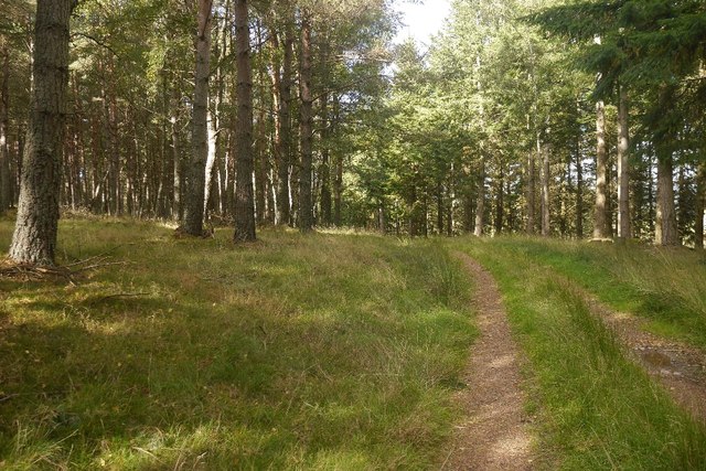
Walking trails and paths crisscross the forest, allowing visitors to explore its beauty at their own pace. The lush greenery, towering trees, and serene atmosphere create a tranquil ambiance that is perfect for relaxation and contemplation. Many visitors also enjoy picnicking in the designated areas or simply sitting on one of the wooden benches, immersing themselves in the natural surroundings.

Quithel Wood is a true gem of Aberdeenshire, offering a harmonious blend of nature, history, and tranquility. Whether one seeks to appreciate the wildlife, delve into the past, or simply escape the hustle and bustle of everyday life, this enchanting forest is a must-visit destination.

If you have any feedback on the listing, please let us know in the comments section below.

Quithel Wood Images

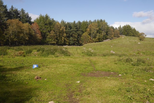
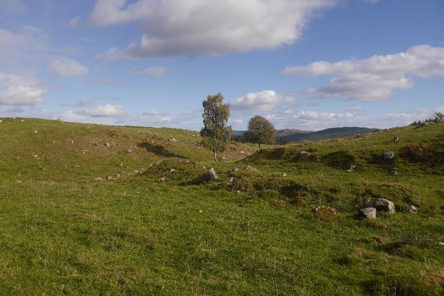
Images are sourced within 2km of 57.066874/-2.7033954 or Grid Reference NO5797. Thanks to Geograph Open Source API. All images are credited.

Path junction in the forest Geocaching is a type of global treasure hunt of people looking for caches, or hidden stashes of objects. Geocaching may also be described as a series of hide-and-seek games, where hiders provide online clues for seekers. Seekers use global positioning system (GPS) devices to find hidden caches
Path junction in the forest
Geocaching is a type of global treasure hunt of people looking for caches, or hidden stashes of objects. Geocaching may also be described as a series of hide-and-seek games, where hiders provide online clues for seekers. Seekers use global positioning system (GPS) devices to find hidden caches
Path junction in the forest
Where forest and farm meet
Back roads of Aberdeenshire
Pig ark, Haugh A haugh south of the Dee.
Pig ark, Haugh
A haugh south of the Dee.
The Canadian Road Named after the World War II lumberjacks who felled almost everything that survived World War I.  Any remaining trees in Balfour Forest were finished off by the gale of January 1953. (The one which killed thousands around the North Sea).
The Canadian Road
Named after the World War II lumberjacks who felled almost everything that survived World War I. Any remaining trees in Balfour Forest were finished off by the gale of January 1953. (The one which killed thousands around the North Sea).
Quarry, Achnafoy The Canadian Road ends here in a grassed over quarry. There is a gate at the far side which leads to a disused road in the forest. From here a path leads down to the Balfour to Kinminity road. Goes a treat on a bike, lovely singletrack.
Quarry, Achnafoy
The Canadian Road ends here in a grassed over quarry. There is a gate at the far side which leads to a disused road in the forest. From here a path leads down to the Balfour to Kinminity road. Goes a treat on a bike, lovely singletrack.
Quarry, Auchnafoy A grassed over quarry at the northern end of the Canadian Road.
Quarry, Auchnafoy
A grassed over quarry at the northern end of the Canadian Road.
An old road above Kinminity A fine pair of dykes beside a long disused road near Balfour. Contrary to the Ordnance Survey map there is woodland on both sides.
An old road above Kinminity
A fine pair of dykes beside a long disused road near Balfour. Contrary to the Ordnance Survey map there is woodland on both sides.
Path above Kinminity Beside an old dyke, the path makes a good continuation from the Canadian Road, dropping down to the road between Balfour and Kinminity.
Path above Kinminity
Beside an old dyke, the path makes a good continuation from the Canadian Road, dropping down to the road between Balfour and Kinminity.
Path near Balfour A way down from the quarry above Auchnafoy.
Path near Balfour
A way down from the quarry above Auchnafoy.
Woodland, Balfour An extraction ride beside an old dyke. As is often the case here, progress is easy off the paths.
Woodland, Balfour
An extraction ride beside an old dyke. As is often the case here, progress is easy off the paths.
Stubble, Birse
Stubble, Birse
Old post box, Birse Edward VII cypher postbox.
Old post box, Birse
Edward VII cypher postbox.
Looking up the hill, Marywell
Former Birse manse Typical of the lavish scale of remote rural manses of the Church of Scotland.  C-listed (LB3085): <span class="nowrap"><a title="http://portal.historicenvironment.scot/designation/LB3085" rel="nofollow ugc noopener" href="http://portal.historicenvironment.scot/designation/LB3085">Link</a><img style="margin-left:2px;" alt="External link" title="External link - shift click to open in new window" src="https://s1.geograph.org.uk/img/external.png" width="10" height="10"/></span>
Former Birse manse
Typical of the lavish scale of remote rural manses of the Church of Scotland. C-listed (LB3085): LinkExternal link
Rural road... ...passing Birse kirk (out of sight to the left).
Rural road...
...passing Birse kirk (out of sight to the left).
Track in Potarch Wood Scots pines and birches on sandy soils.
Track in Potarch Wood
Scots pines and birches on sandy soils.
Show me another place!

Quithel Wood is located at Grid Ref: NO5797 (Lat: 57.066874, Lng: -2.7033954)

Unitary Authority: Aberdeenshire

Police Authority: North East

What 3 Words

///looms.cookers.apart. Near Aboyne, Aberdeenshire

Nearby Locations

Quithel Wood

Related Wikis

Kinminity

Kinminity is a former village located south-east of Birse, Aberdeenshire in Scotland. == History == The property was in hands of the cadet family of Sutherlands...

Belwade Farm

Belwade Farm is a horse stables near Aboyne, Scotland owned by World Horse Welfare. == History == A new visitor centre and indoor arena was opened by Princess...

Ballogie

Ballogie is a rural community and an estate in the Lower Deeside area of Aberdeenshire, Scotland. Most of Ballogie lies within the parish of Birse, although...

Birse

Birse (Scottish Gaelic: Braois/Breis) is a parish in the Lower Deeside area of Aberdeenshire, Scotland, which includes the communities of Finzean and Ballogie...

Nearby Amenities

Located within 500m of 57.066874,-2.7033954
Power: pole
Lat/Long: 57.068931/-2.6965079
Power: pole
Lat/Long: 57.0682541/-2.6966043
Power: pole
Lat/Long: 57.067575/-2.6966988
Power: pole
Lat/Long: 57.066821/-2.6968103
Power: pole
Lat/Long: 57.0661347/-2.6974943
Power: pole
Lat/Long: 57.0656025/-2.6980405
Power: pole
Lat/Long: 57.0651381/-2.6985261
Power: pole
Lat/Long: 57.0645094/-2.699161
Power: pole
Lat/Long: 57.0638888/-2.6997884
Power: pole
Lat/Long: 57.0632775/-2.700429
Power: pole
Lat/Long: 57.0626621/-2.7010375
Power: pole
Lat/Long: 57.0643286/-2.6967479
Power: pole
Lat/Long: 57.0646902/-2.6968878
Power: pole
Lat/Long: 57.0650601/-2.6970238
Northbrae Croft
Place: locality
Lat/Long: 57.0656493/-2.6959724
The data included in this document is from www.openstreetmap.org. The data is made available under ODbL.

Have you been to Quithel Wood?

Leave your review of Quithel Wood below (or comments, questions and feedback).