Gled'swing Strip

Wood, Forest in Roxburghshire

Scotland

Gled'swing Strip

Grazing and hedgerow, Teviot Bank
Grazing and hedgerow, Teviot Bank Credit: JThomas

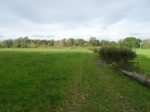
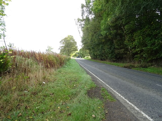
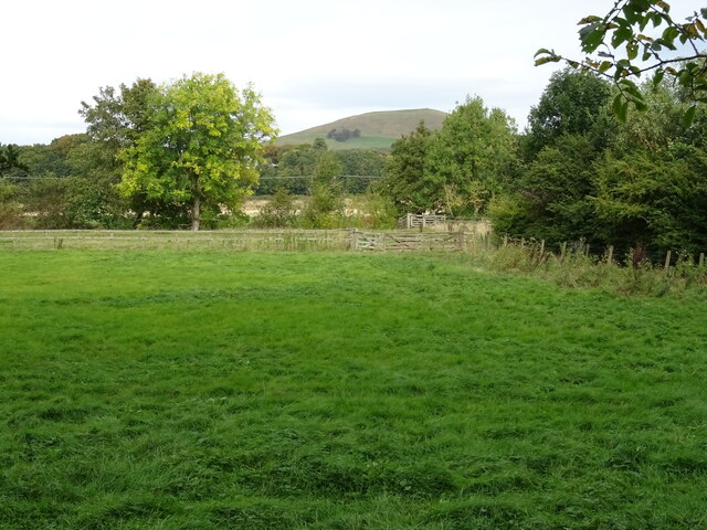
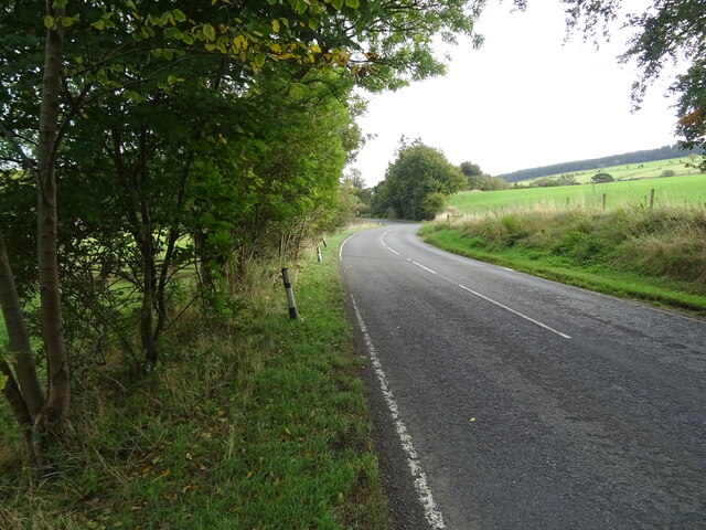
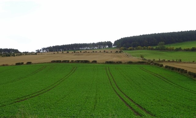
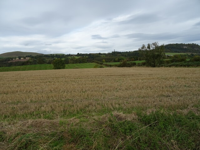
Gled'swing Strip is a picturesque woodland area located in Roxburghshire, which is a historic county in the Scottish Borders region of Scotland. Situated near the town of Hawick, this forested area covers a substantial expanse of land and offers visitors a serene and natural environment to explore.

The woodland is characterized by its dense and diverse mix of tree species, including oak, beech, and ash, which create a rich and vibrant canopy overhead. The forest floor is carpeted with a variety of wildflowers, ferns, and mosses, adding to the area's natural beauty.

Gled'swing Strip is crisscrossed by a network of well-maintained walking trails, which wind their way through the woodland, allowing visitors to immerse themselves in the tranquil surroundings. These paths cater to all levels of fitness and provide opportunities for leisurely strolls as well as more challenging hikes.

The forest is also home to a wide range of wildlife, making it an excellent destination for nature enthusiasts. Red squirrels can often be spotted darting among the trees, while songbirds fill the air with their melodic tunes. Lucky visitors may even catch a glimpse of roe deer or the elusive goshawk, which are known to inhabit the area.

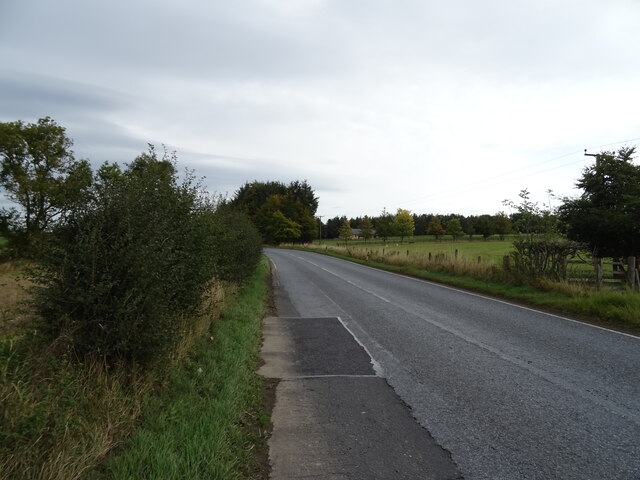
Gled'swing Strip is easily accessible, with car parking facilities available nearby, ensuring a hassle-free visit. Whether one is seeking a peaceful walk in nature, a chance to spot wildlife, or simply a break from the hustle and bustle of everyday life, Gled'swing Strip offers a truly enchanting experience for all who venture into its leafy embrace.

If you have any feedback on the listing, please let us know in the comments section below.

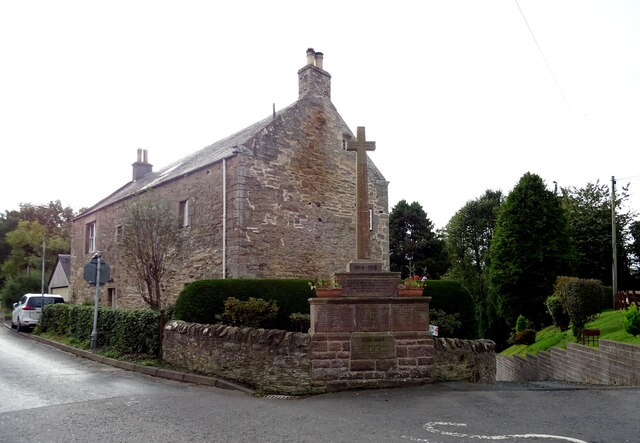
Gled'swing Strip Images

Images are sourced within 2km of 55.447561/-2.6744551 or Grid Reference NT5717. Thanks to Geograph Open Source API. All images are credited.

Grazing and hedgerow, Teviot Bank
A698 beside woodland, Teviotdale Towards Denholm.
A698 beside woodland, Teviotdale
Towards Denholm.
Grazing, Denholm Bridge Towards the River Teviot.
Grazing, Denholm Bridge
Towards the River Teviot.
A698 approaching Denholm
War Memorial, Denholm
Postbox on Westside, Denholm In front of the Post Office.
Postbox No. TD9 70.

See <a href="https://www.geograph.org.uk/photo/7018954">NT5618 : Denholm Post Office</a> for context.
Postbox on Westside, Denholm
In front of the Post Office. Postbox No. TD9 70. See NT5618 : Denholm Post Office for context.
Denholm Post Office Showing position of Postbox No. TD9 70.

See <a href="https://www.geograph.org.uk/photo/7018953">NT5618 : Postbox on Westside, Denholm</a> for postbox.
Denholm Post Office
Showing position of Postbox No. TD9 70. See NT5618 : Postbox on Westside, Denholm for postbox.
The Cross Keys, Denholm On Main Street.
The Cross Keys, Denholm
On Main Street.
Sign for the Cross Keys, Denholm
K6 telephone box on Main Street, Denholm Now an information point.
K6 telephone box on Main Street, Denholm
Now an information point.
The John Leyden Memorial, Denholm On the village green. John Leyden born in 1775 in Denholm and was an antiquarian, physician and poet.
The John Leyden Memorial, Denholm
On the village green. John Leyden born in 1775 in Denholm and was an antiquarian, physician and poet.
Crop field, Denholm The land rises up from the River Teviot.
Crop field, Denholm
The land rises up from the River Teviot.
Jedburgh Road (A698) leaving Denholm
Stubble field, Teviotdale Looking down towards the river.
Stubble field, Teviotdale
Looking down towards the river.
Jedburgh Road (A698), Teviotdale Towards Jedburgh.
Jedburgh Road (A698), Teviotdale
Towards Jedburgh.
The interior of Denholm Church in Roxburghshire. Built in the 19th. century as a Free Church, Denholm became part of the Church of Scotland in 1929.
The interior of Denholm Church in Roxburghshire.
Built in the 19th. century as a Free Church, Denholm became part of the Church of Scotland in 1929.
Denholm Green Denholm on an October morning. The spire is the Leyden Monument - see <a href="https://www.geograph.org.uk/photo/763708">NT5618 : The Leyden Monument</a>.
Denholm Green
Denholm on an October morning. The spire is the Leyden Monument - see NT5618 : The Leyden Monument.
Track to Spital Tower, Denholm The track, muddy in places, is on the route of the Borders Abbeys Way, a circular route of 109 km (68 miles) linking Jedburgh, Hawick, Selkirk, Melrose, Dryburgh and Kelso. The houses in view are at Denholm.
Track to Spital Tower, Denholm
The track, muddy in places, is on the route of the Borders Abbeys Way, a circular route of 109 km (68 miles) linking Jedburgh, Hawick, Selkirk, Melrose, Dryburgh and Kelso. The houses in view are at Denholm.
Show me another place!

Gled'swing Strip is located at Grid Ref: NT5717 (Lat: 55.447561, Lng: -2.6744551)

Unitary Authority: The Scottish Borders

Police Authority: The Lothians and Scottish Borders

What 3 Words

///flows.courts.chucked. Near Hawick, Scottish Borders

Related Wikis

Westgate Hall, Denholm

Westgate Hall is located in Westgate in the village of Denholm, Roxburghshire, in the Scottish Borders. It stands at the western and south-western approaches...

Denholm

Denholm is a small village located between Jedburgh and Hawick in the Scottish Borders region of Scotland, UK. The estimated population of Denholm is 600...

Rubers Law

Rubers Law is a prominent, conical hill in the Scottish Borders area of south-east Scotland. It stands on the south bank of the River Teviot, between the...

Spittal-on-Rule

Spittal-on-Rule is a farm in the council area of Scottish Borders in Scotland. As the name suggests it is situated on the river Rule Water, and the Spittal...

Nearby Amenities

Located within 500m of 55.447561,-2.6744551
Note: Lack of clearly defined path south of this point, it is possible to continue on the west side of the forest
Lat/Long: 55.4463205/-2.6724969
Power: pole
Source: Bing
Lat/Long: 55.44736/-2.6793639
Power: pole
Source: Bing
Lat/Long: 55.4481171/-2.6788577
Power: pole
Source: Bing;survey
Lat/Long: 55.4494159/-2.6796048
Power: pole
Source: Bing;survey
Lat/Long: 55.4500208/-2.6810001
Power: pole
Lat/Long: 55.4460706/-2.6808861
Power: pole
Source: Bing
Lat/Long: 55.4465935/-2.6799452
The data included in this document is from www.openstreetmap.org. The data is made available under ODbL.

Have you been to Gled'swing Strip?

Leave your review of Gled'swing Strip below (or comments, questions and feedback).