Chesters Wood

Wood, Forest in East Lothian

Scotland

Chesters Wood

Cattle, Garvald Mains
Cattle, Garvald Mains Credit: Richard Webb

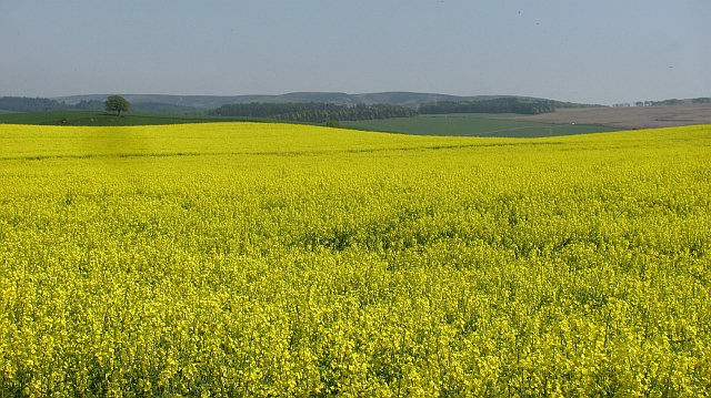
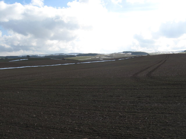
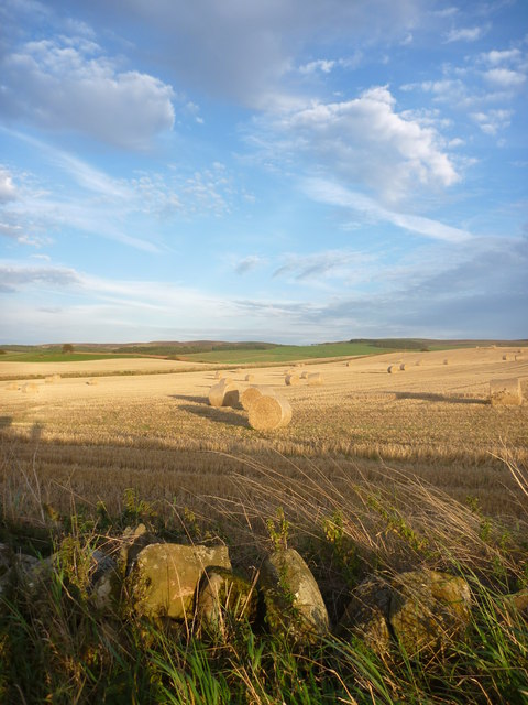
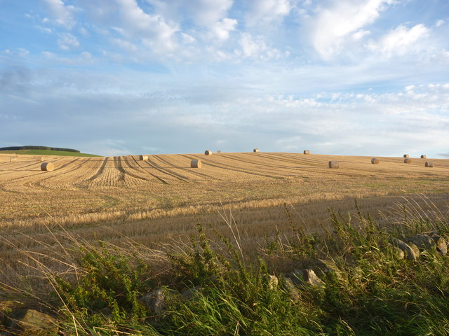
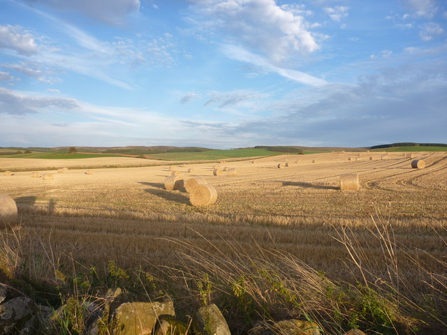
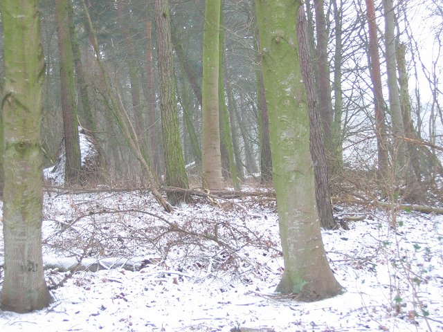
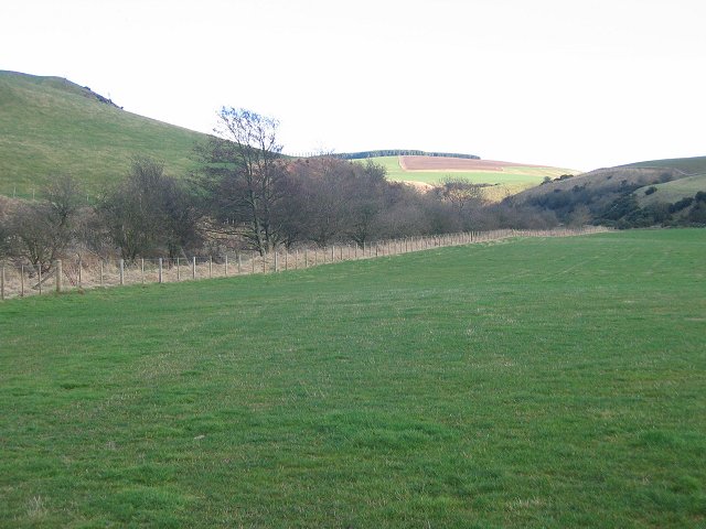
Chesters Wood is a picturesque forest located in East Lothian, Scotland. This woodland area spans over a vast expanse of approximately 50 acres and is renowned for its stunning natural beauty and diverse ecosystem.

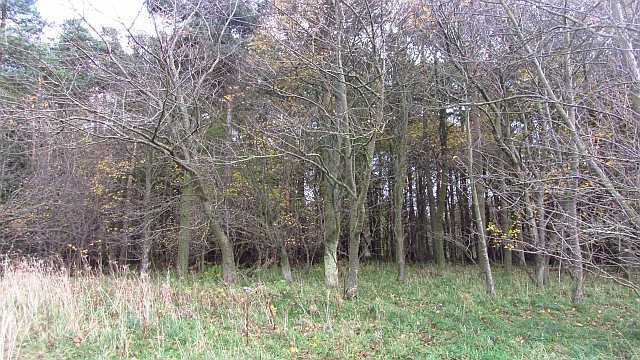
The wood is primarily composed of native trees such as oak, beech, and birch, which provide a lush and vibrant canopy. The forest floor is adorned with a variety of wildflowers, ferns, and mosses, creating a serene and enchanting atmosphere.

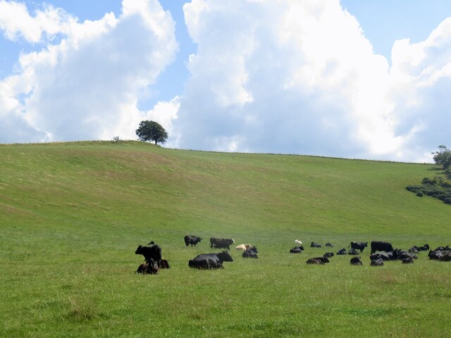
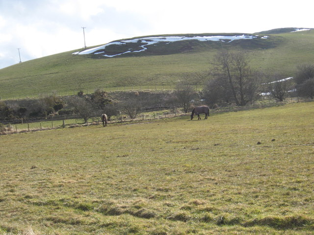
Chesters Wood is also home to numerous wildlife species, including red squirrels, roe deer, and a wide range of bird species. Birdwatchers flock to the area to catch glimpses of rare and migratory birds, such as the great spotted woodpecker and the common buzzard.

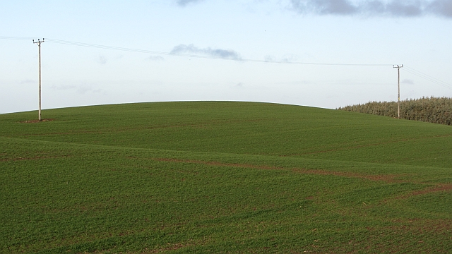
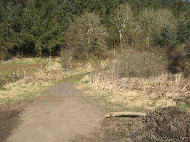
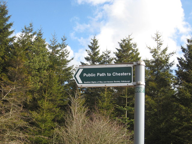
Visitors can explore the wood through a network of well-maintained trails, which wind through the forest and offer breathtaking views of the surrounding countryside. These paths are suitable for both leisurely walks and more challenging hikes, catering to a range of fitness levels.

In addition to its natural beauty, Chesters Wood holds historical significance as well. The remains of an Iron Age hillfort can be found within the forest, providing a glimpse into the area's ancient past.

Chesters Wood is a popular destination for nature lovers, walkers, and those seeking a peaceful retreat from the hustle and bustle of daily life. Its idyllic setting, rich biodiversity, and historical intrigue make it a must-visit location in East Lothian.

If you have any feedback on the listing, please let us know in the comments section below.

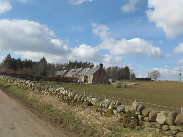
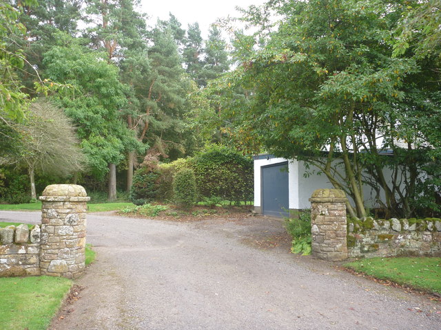
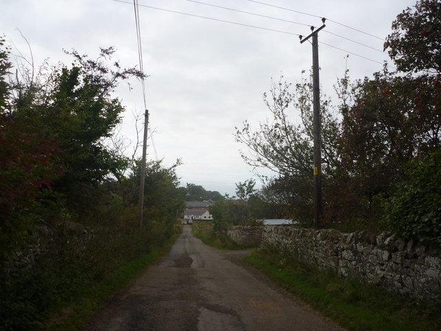
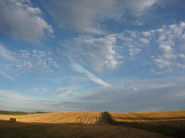
Chesters Wood Images

Images are sourced within 2km of 55.931726/-2.6829884 or Grid Reference NT5771. Thanks to Geograph Open Source API. All images are credited.

Cattle, Garvald Mains
Baro Wood Mixed woodland at Baro.
Baro Wood
Mixed woodland at Baro.
Winter cereals, Carfrae
Oil seed rape, Carfrae Yellow peril in May.
Oil seed rape, Carfrae
Yellow peril in May.
Recently tilled field near Carfrae Farm in East Lothian With the Lammermuirs in the background.
Recently tilled field near Carfrae Farm in East Lothian
With the Lammermuirs in the background.
Hill road to Garvald in East Lothian Running away from Carfrae.
Hill road to Garvald in East Lothian
Running away from Carfrae.
Footpath near Garvald Mains Leading ultiamtely to Chesters near Baro.
Footpath near Garvald Mains
Leading ultiamtely to Chesters near Baro.
The way to Chesters A sign post below Garvald Mains.
The way to Chesters
A sign post below Garvald Mains.
Grazing lands at Garvald Mains in East Lothian Horses grazing on thinly cover lands in the cold Spring sunshine.
Grazing lands at Garvald Mains in East Lothian
Horses grazing on thinly cover lands in the cold Spring sunshine.
A row of farm cottages At Carfrae in the hillfoots of East Lothian.
A row of farm cottages
At Carfrae in the hillfoots of East Lothian.
Rural East Lothian : Gateway To Baro House, Near Gifford Not visible from the road, the Category B listed Baro House is a 2-storey and attic butterfly plan country house of 1939/40 by the catholic church architect Reginald Francis Joseph Fairlie (1883 to 1957).  Construction was halted by WW2 and the house was completed by Charles Gray in 1955.
Rural East Lothian : Gateway To Baro House, Near Gifford
Not visible from the road, the Category B listed Baro House is a 2-storey and attic butterfly plan country house of 1939/40 by the catholic church architect Reginald Francis Joseph Fairlie (1883 to 1957). Construction was halted by WW2 and the house was completed by Charles Gray in 1955.
Rural East Lothian : The Road To Baro Farm
East Lothian Landscape : Shadow And Light Near Carfrae Evening shadows are creeping across the landscape.
East Lothian Landscape : Shadow And Light Near Carfrae
Evening shadows are creeping across the landscape.
East Lothian Landscape : Evening Light Near Carfrae
East Lothian Landscape : Random Distribution
East Lothian Landscape : Evening Fieldscene Near Carfrae
Baro Wood The woodland holding here has grown since the 1940s map. Signs of wind damage.
Baro Wood
The woodland holding here has grown since the 1940s map. Signs of wind damage.
Donolly Burn. Looking up the glen of the Donolly Burn.
Donolly Burn.
Looking up the glen of the Donolly Burn.
Show me another place!

Chesters Wood is located at Grid Ref: NT5771 (Lat: 55.931726, Lng: -2.6829884)

Unitary Authority: East Lothian

Police Authority: The Lothians and Scottish Borders

What 3 Words

///words.factually.acting. Near East Linton, East Lothian

Related Wikis

Garvald, East Lothian

Garvald is a village south-east of Haddington in East Lothian, Scotland. It lies on the Papana Water south of the B6370, east of Gifford. The combined...

Bara, East Lothian

Bara, anciently spelt Baro, is an agricultural parish in East Lothian, Scotland, which adjoins the parish of Garvald to the east, and Lauder across the...

Stoneypath Tower

Stoneypath Tower, is an L-plan tower house dating from the late sixteenth century, about 3.5 miles (5.6 km) south of East Linton, and east of the Whittinghame...

Sancta Maria Abbey, Nunraw

Nunraw Abbey or Sancta Maria Abbey, Nunraw is a working Trappist (Ordo Cisterciensis Strictioris Observantiae) monastery. It was the first Cistercian house...

Nearby Amenities

Located within 500m of 55.931726,-2.6829884
Whitelaw Hill
Place: locality
Source: OSODSM
Lat/Long: 55.9347143/-2.6862579
The data included in this document is from www.openstreetmap.org. The data is made available under ODbL.

Have you been to Chesters Wood?

Leave your review of Chesters Wood below (or comments, questions and feedback).