Balrownie Wood
Wood, Forest in Angus
Scotland
Balrownie Wood
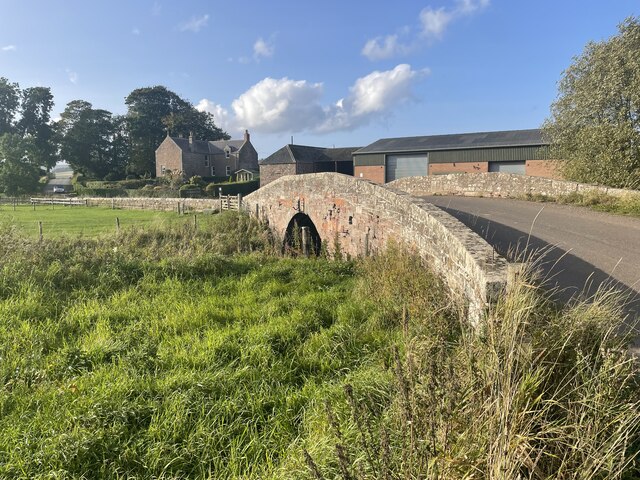
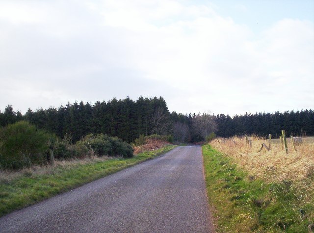
Balrownie Wood is a picturesque forest located in the county of Angus, Scotland. Covering an area of approximately 100 hectares, this woodland is a haven for nature enthusiasts and outdoor adventurers alike.
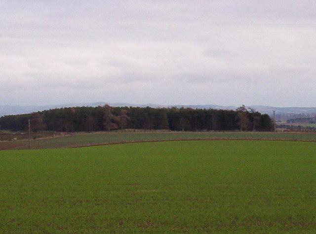
The woodland is dominated by a mix of broadleaf and coniferous trees, creating a diverse and vibrant ecosystem. The towering Scots pines, oak, birch, and beech trees provide a lush canopy, offering shade and shelter to a variety of wildlife. The forest floor is carpeted with a rich layer of moss, ferns, and wildflowers, adding to the beauty and tranquility of the surroundings.
Balrownie Wood is home to a wide range of animal species, making it a popular spot for wildlife enthusiasts. Red squirrels can be seen darting through the treetops, while roe deer and badgers roam the forest floor. Birdwatchers can spot a variety of species, including woodpeckers, owls, and various songbirds.
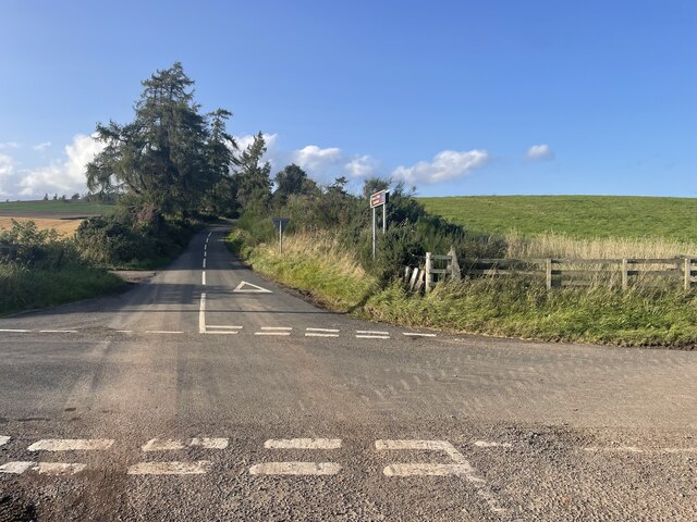
For those seeking outdoor activities, Balrownie Wood offers a network of well-maintained trails that wind through the forest. These trails cater to both walkers and cyclists, providing an opportunity to explore the wood's natural beauty while enjoying the fresh air and peaceful ambiance.
The woodland also has a rich history, with ancient ruins and archaeological sites scattered throughout. Visitors can stumble upon remnants of old settlements, cairns, and stone circles, giving a glimpse into the area's past.
Overall, Balrownie Wood is a captivating destination where visitors can immerse themselves in nature, discover wildlife, and explore the history of this enchanting forest in Angus.
If you have any feedback on the listing, please let us know in the comments section below.
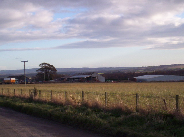
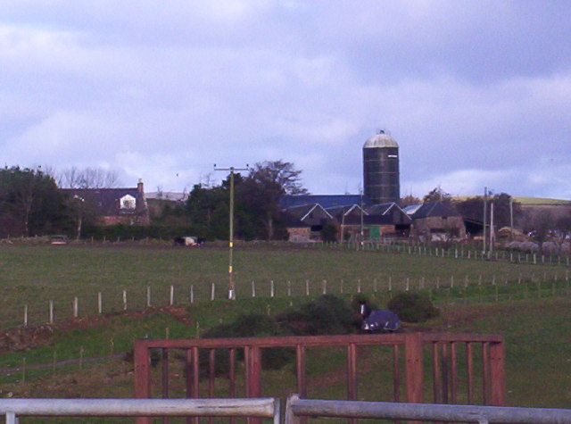
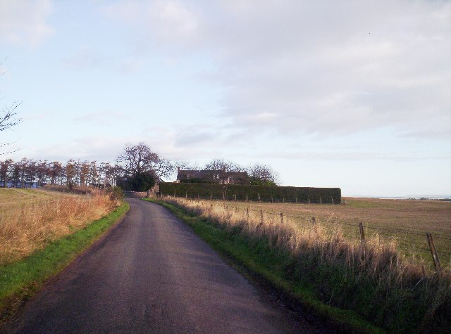
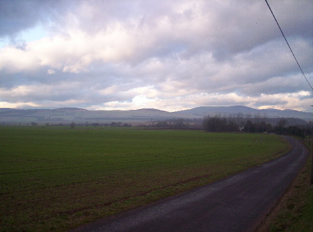
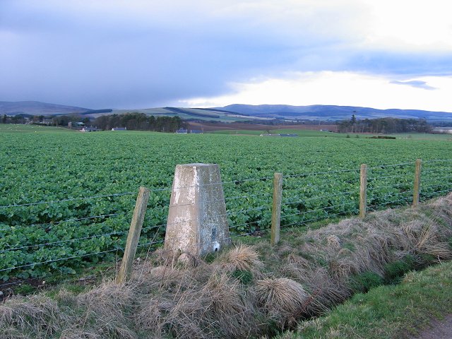
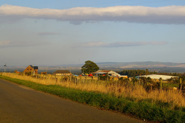
Balrownie Wood Images
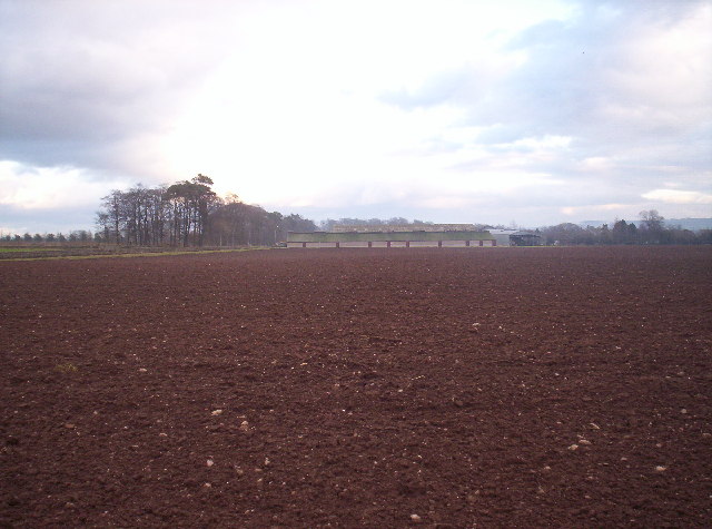
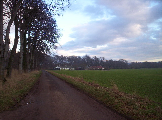
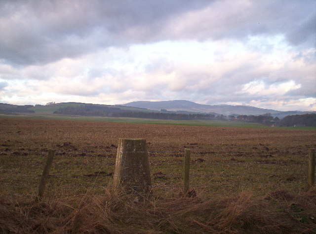
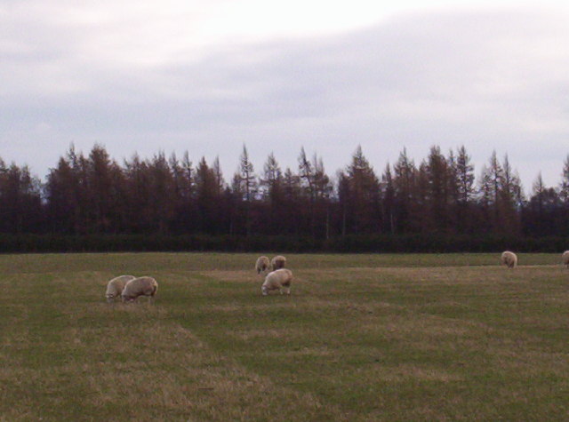
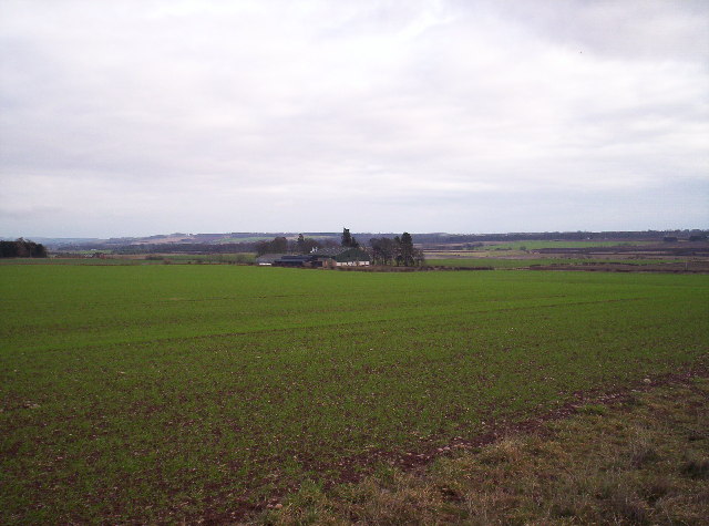
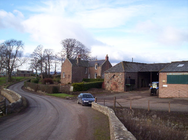
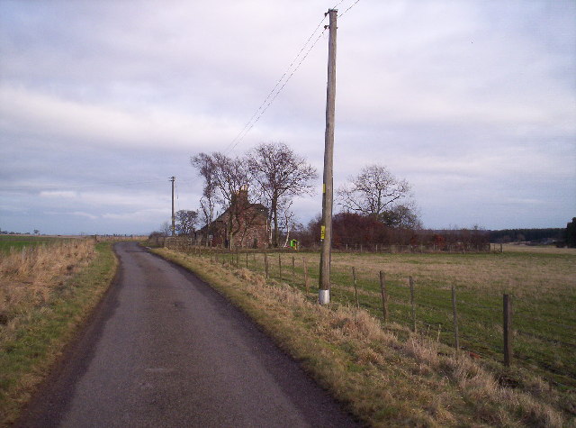
Images are sourced within 2km of 56.772335/-2.6974168 or Grid Reference NO5764. Thanks to Geograph Open Source API. All images are credited.
Balrownie Wood is located at Grid Ref: NO5764 (Lat: 56.772335, Lng: -2.6974168)
Unitary Authority: Angus
Police Authority: Tayside
What 3 Words
///thickens.scrap.endings. Near Brechin, Angus
Nearby Locations
Related Wikis

Little Brechin
Little Brechin is a village in Angus, Scotland. It lies approximately two miles north of Brechin on the north side of the A90 road. == References... ==

Stracathro railway station
Stracathro railway station served the sparsely populated rural area around the villages of Stracathro and Inchbare as well as Dunlappie and other estates...

Caterthun
Caterthun, or the Caterthuns, is a ridge of hills near the city of Brechin in Angus, Scotland. The Caterthuns are notable for being the site of two Iron...
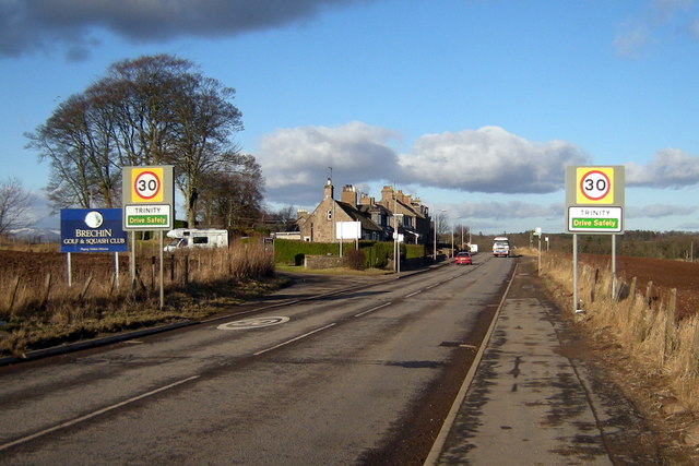
Trinity, Angus
Trinity is a village in Angus, Scotland. It lies approximately one mile north-west of Brechin on the B966 Brechin to Edzell road. It was the location of...
Nearby Amenities
Located within 500m of 56.772335,-2.6974168Have you been to Balrownie Wood?
Leave your review of Balrownie Wood below (or comments, questions and feedback).