Belliehill Wood
Wood, Forest in Angus
Scotland
Belliehill Wood
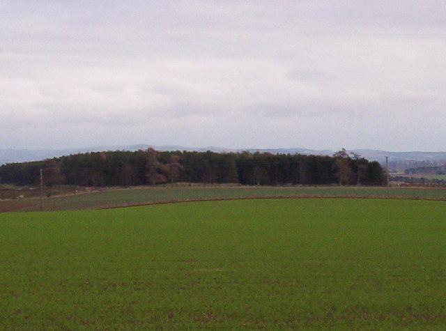
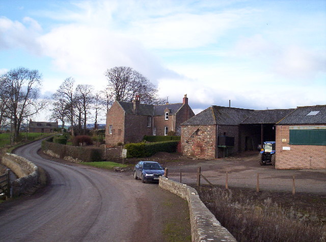
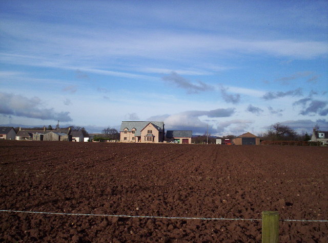
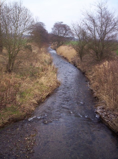
Belliehill Wood is a picturesque forest located in the county of Angus, Scotland. Covering an area of approximately 100 hectares, it is a popular destination for nature enthusiasts and outdoor adventurers alike. The wood is situated on the outskirts of the small village of Belliehill, providing easy access for visitors.
The forest is predominantly composed of native woodland, with a diverse range of tree species including oak, birch, and beech. This mix of deciduous and coniferous trees creates a vibrant and ever-changing landscape throughout the year. The wood is well-maintained, with clearly marked trails and paths that allow visitors to explore the area at their own pace.
Belliehill Wood is home to a rich variety of wildlife, making it a haven for nature lovers. Birdwatchers will be delighted by the chance to spot species such as woodpeckers, owls, and various songbirds. Small mammals like squirrels and rabbits can also be observed, while lucky visitors may even catch a glimpse of deer or foxes.
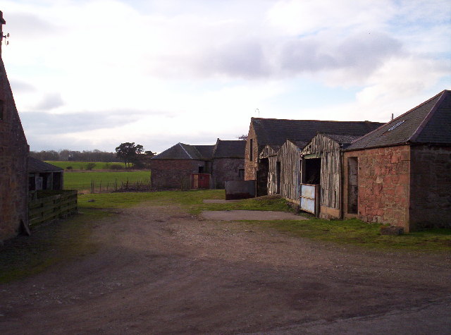
The wood offers more than just natural beauty, as it also holds historical significance. It is believed to have been a part of the ancient Caledonian Forest that covered much of Scotland in the past. Additionally, there are remnants of old stone structures within the wood, providing a glimpse into its past.
Overall, Belliehill Wood is a tranquil and enchanting forest that offers a wonderful escape from the hustle and bustle of everyday life. It provides a perfect setting for leisurely walks, wildlife spotting, and immersing oneself in the beauty of nature.
If you have any feedback on the listing, please let us know in the comments section below.
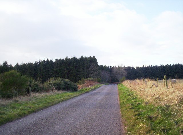
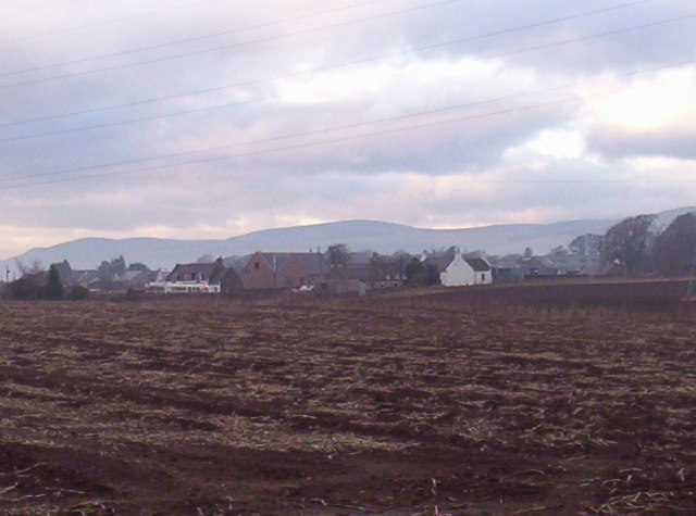
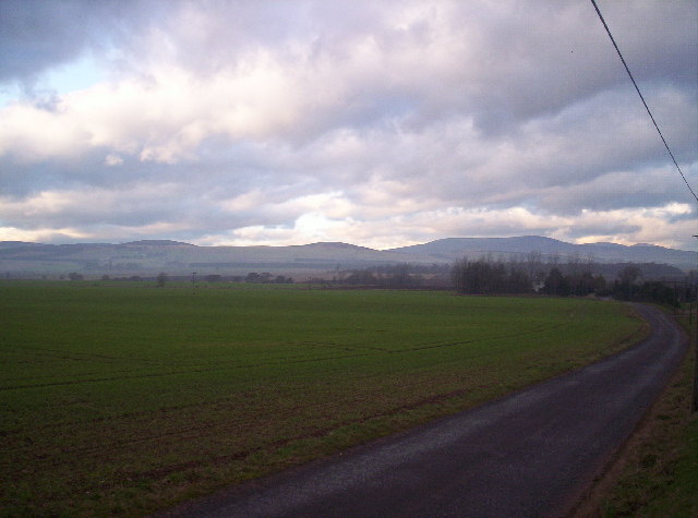
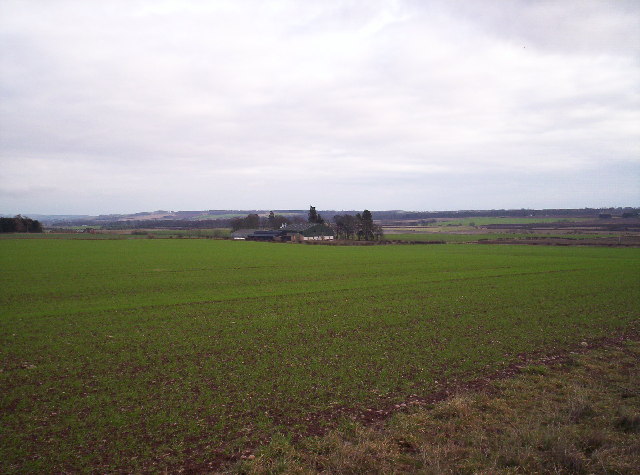
Belliehill Wood Images
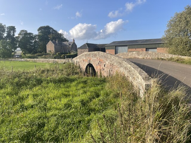
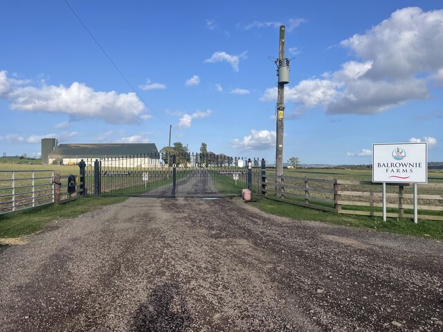
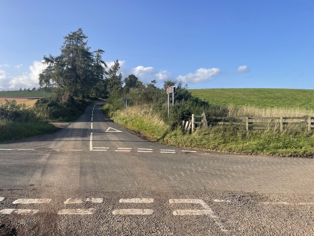
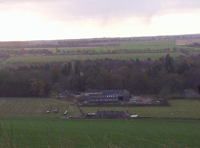
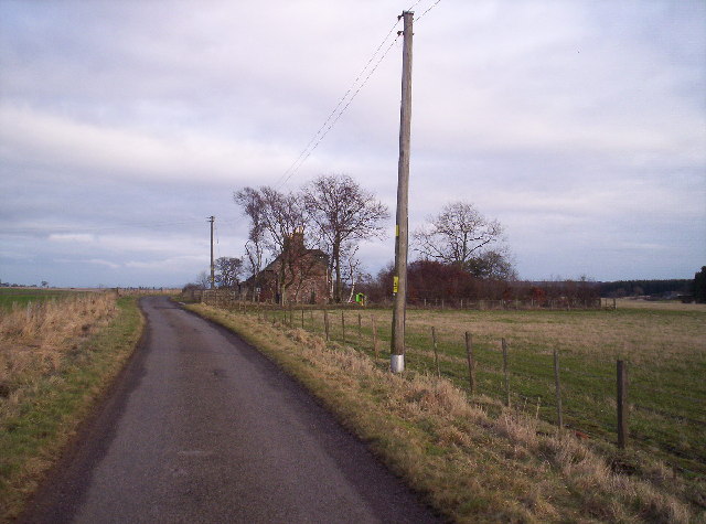
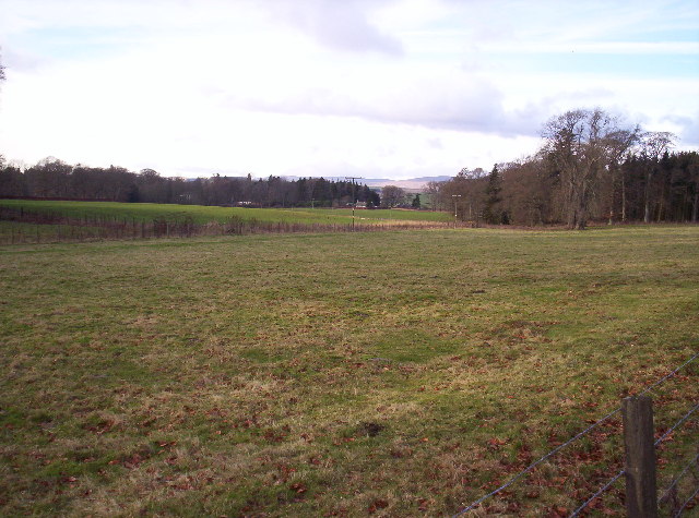
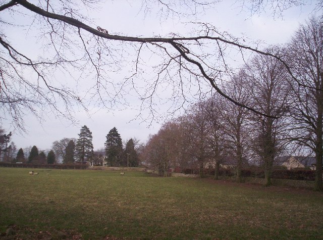
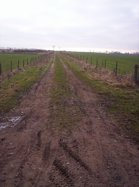
Images are sourced within 2km of 56.758264/-2.7106819 or Grid Reference NO5663. Thanks to Geograph Open Source API. All images are credited.
Belliehill Wood is located at Grid Ref: NO5663 (Lat: 56.758264, Lng: -2.7106819)
Unitary Authority: Angus
Police Authority: Tayside
What 3 Words
///swimmer.screening.ruling. Near Brechin, Angus
Nearby Locations
Related Wikis

Little Brechin
Little Brechin is a village in Angus, Scotland. It lies approximately two miles north of Brechin on the north side of the A90 road. == References... ==

Brechin High School
Brechin High School is a non-denominational secondary school in Brechin, Angus, Scotland. == Admissions == It has approximately 660 students. The school...

Caterthun
Caterthun, or the Caterthuns, is a ridge of hills near the city of Brechin in Angus, Scotland. The Caterthuns are notable for being the site of two Iron...

Menmuir
Menmuir is a parish in the county of Angus in Scotland. Kirkton of Menmuir consists of only three houses (the Old Schoolhouse, the Manse, the Old Inn)...
Nearby Amenities
Located within 500m of 56.758264,-2.7106819Have you been to Belliehill Wood?
Leave your review of Belliehill Wood below (or comments, questions and feedback).