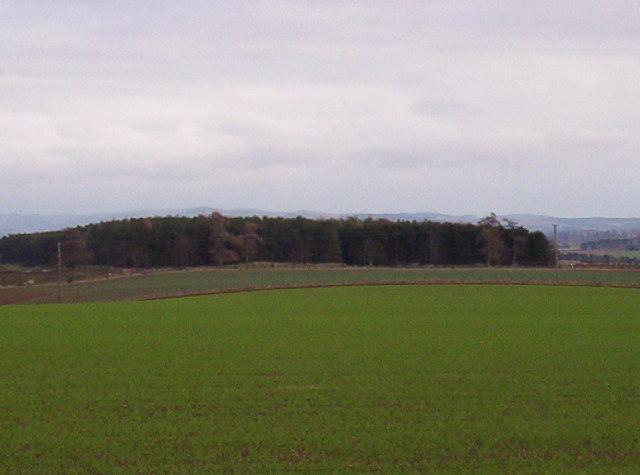
Burnside Wood
Wood, Forest in Angus
Scotland
Burnside Wood
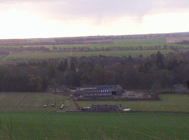
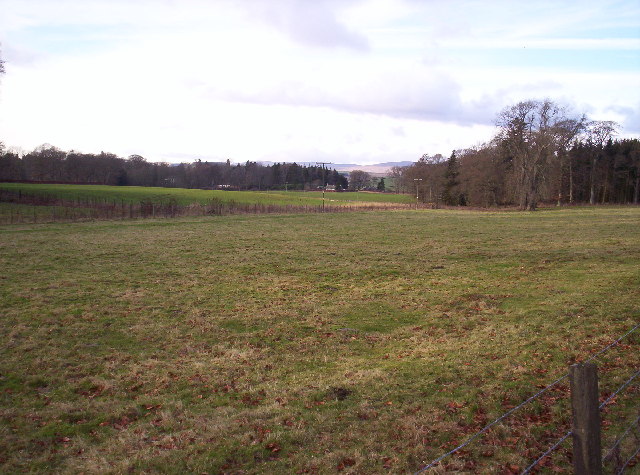
Burnside Wood is a picturesque forest located in the county of Angus, Scotland. Covering an area of approximately 50 acres, this woodland is nestled in the heart of the countryside, offering visitors a tranquil and natural escape from the hustle and bustle of modern life.
The wood is predominantly composed of native species, including oak, birch, and rowan trees, which create a diverse and vibrant ecosystem. These trees provide a dense canopy that filters the sunlight, creating a dappled effect on the forest floor. The undergrowth is rich with ferns, mosses, and wildflowers, adding to the enchanting atmosphere of the wood.
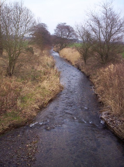
Burnside Wood is intersected by a meandering stream, which adds to its charm and provides a habitat for various aquatic species. The gentle sound of running water further enhances the soothing ambiance of the forest.
The wood is a haven for wildlife, with an abundance of bird species such as woodpeckers, thrushes, and owls. Deer can often be spotted grazing in the early morning or at dusk, adding an element of natural beauty to the landscape.
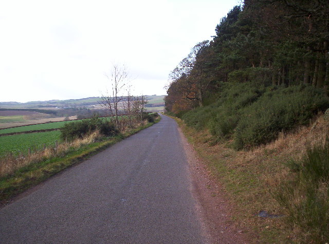
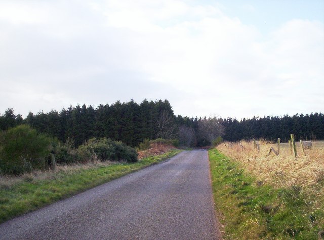
There are several well-maintained trails that wind through the wood, allowing visitors to explore its hidden treasures. These paths are suitable for both leisurely strolls and more vigorous hikes, catering to a range of abilities and interests.
Overall, Burnside Wood offers visitors a serene and captivating experience, immersing them in the beauty of nature and providing a much-needed respite from the demands of everyday life.
If you have any feedback on the listing, please let us know in the comments section below.
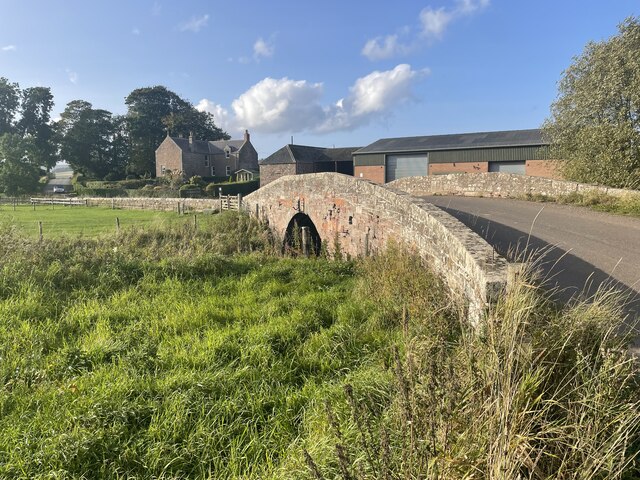
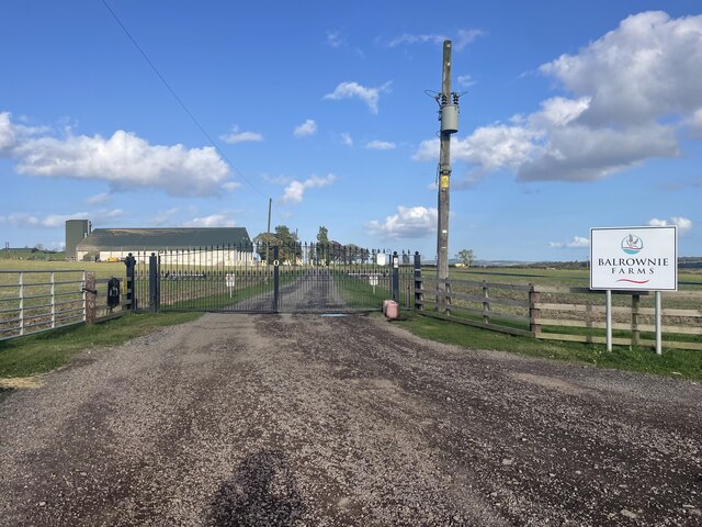
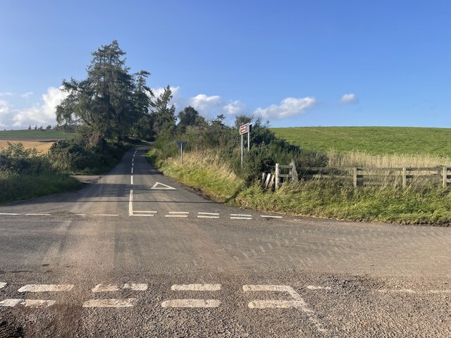
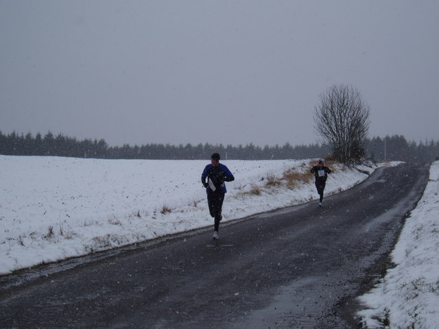
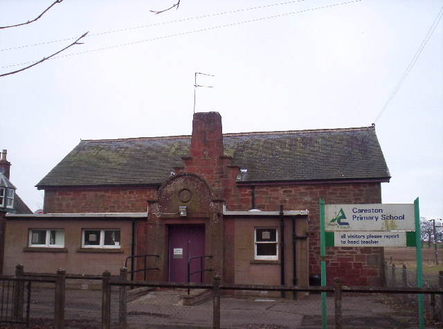
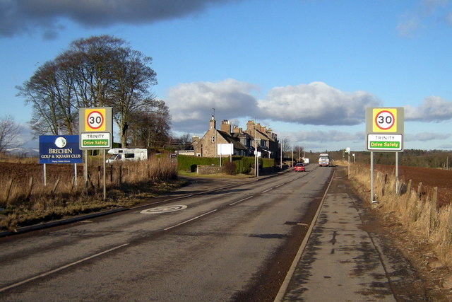
Burnside Wood Images
Images are sourced within 2km of 56.762555/-2.7206102 or Grid Reference NO5663. Thanks to Geograph Open Source API. All images are credited.

Burnside Wood is located at Grid Ref: NO5663 (Lat: 56.762555, Lng: -2.7206102)
Unitary Authority: Angus
Police Authority: Tayside
What 3 Words
///engineers.broke.prelude. Near Brechin, Angus
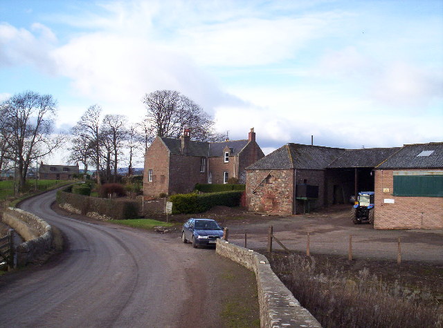
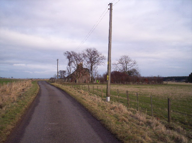
Nearby Locations
Related Wikis

Little Brechin
Little Brechin is a village in Angus, Scotland. It lies approximately two miles north of Brechin on the north side of the A90 road. == References... ==

Caterthun
Caterthun, or the Caterthuns, is a ridge of hills near the city of Brechin in Angus, Scotland. The Caterthuns are notable for being the site of two Iron...

Menmuir
Menmuir is a parish in the county of Angus in Scotland. Kirkton of Menmuir consists of only three houses (the Old Schoolhouse, the Manse, the Old Inn)...

Careston railway station
Careston railway station served the hamlet of Careston, Angus, Scotland, from 1895 to 1964 on the Forfar and Brechin Railway. == History == The station...

Brechin High School
Brechin High School is a non-denominational secondary school in Brechin, Angus, Scotland == Admissions == It has approximately 660 students. The school...
Careston
Careston is a hamlet in Angus, Scotland that is in the parish of the same name, 5 miles west of Brechin. The parish and hamlet supposedly took their name...
Trinity, Angus
Trinity is a village in Angus, Scotland. It lies approximately one mile north-west of Brechin on the B966 Brechin to Edzell road. It was the location of...
Stracathro railway station
Stracathro railway station served the sparsely populated rural area around the villages of Stracathro and Inchbare as well as Dunlappie and other estates...
Nearby Amenities
Located within 500m of 56.762555,-2.7206102Have you been to Burnside Wood?
Leave your review of Burnside Wood below (or comments, questions and feedback).