Castle Wood
Wood, Forest in Aberdeenshire
Scotland
Castle Wood
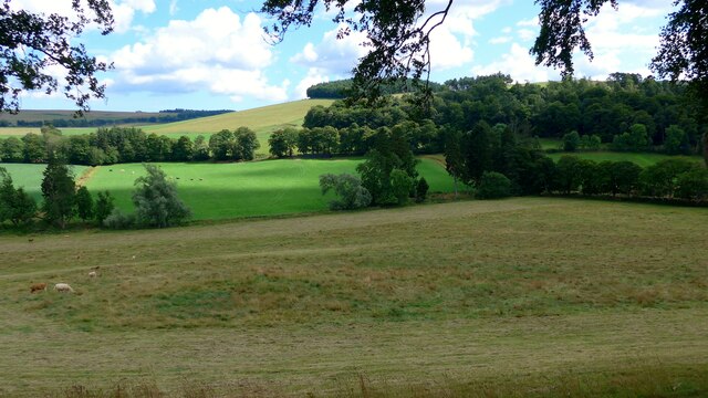
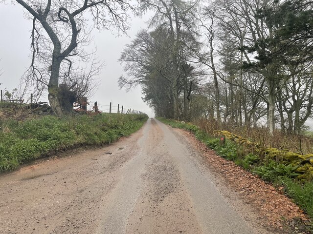
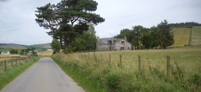
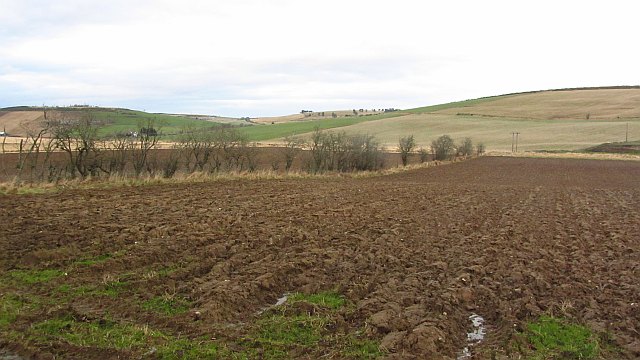
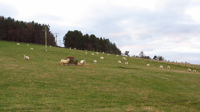
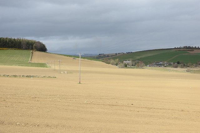
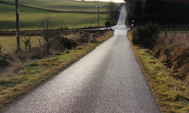
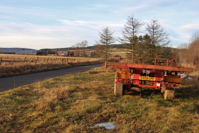
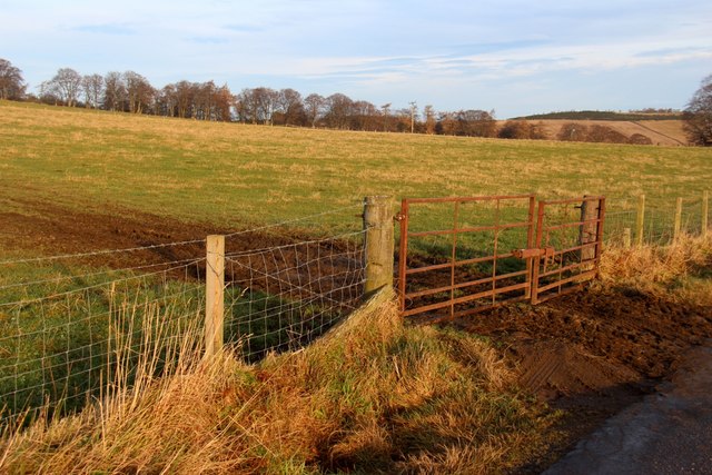
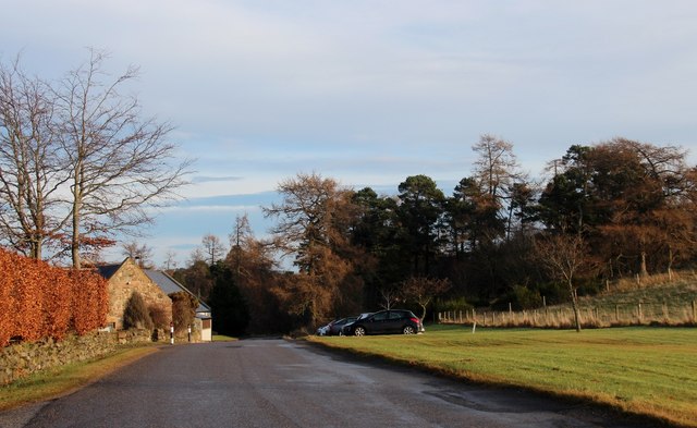
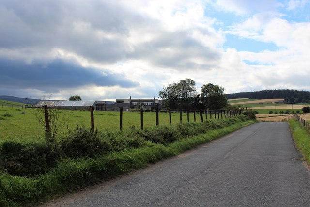
Castle Wood is a sprawling forest located in Aberdeenshire, Scotland. Situated in the heart of the countryside, this enchanting wood is a haven for nature enthusiasts and outdoor adventurers alike. Spanning over 100 acres, Castle Wood offers a diverse range of landscapes and habitats, making it a fascinating destination for exploration.
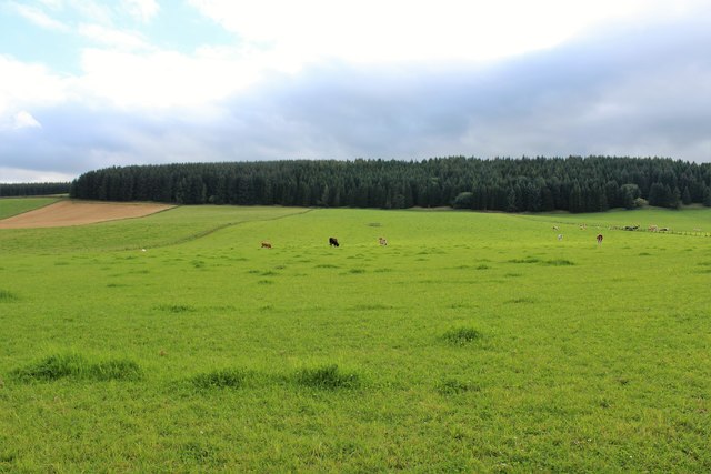
The wood is home to a rich variety of flora and fauna, with ancient oak and birch trees dominating the landscape. These towering giants provide shelter and sustenance for numerous bird species, including woodpeckers, owls, and finches. The forest floor is carpeted with a vibrant tapestry of wildflowers, adding a burst of color to the surroundings.
Tranquil streams meander through the wood, creating a serene atmosphere where visitors can relax and take in the peaceful ambiance. These waterways are also home to a thriving population of small fish and amphibians, adding to the biodiversity of the area.
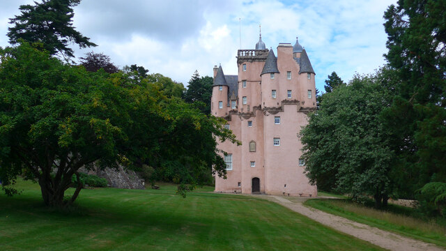
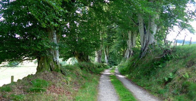
For those seeking adventure, Castle Wood offers an extensive network of walking trails, allowing visitors to explore the wood at their own pace. The trails wind through dense foliage, revealing hidden glens and breathtaking viewpoints along the way. A highlight of the wood is the ancient castle ruins that give the forest its name. These haunting remnants of the past add an air of mystery and intrigue to the surroundings.
Castle Wood is not only a sanctuary for nature enthusiasts but also a valuable educational resource. It provides an opportunity for visitors to learn about the local ecosystem, conservation efforts, and the importance of preserving such natural wonders for future generations.
In summary, Castle Wood is a captivating forest in Aberdeenshire, offering a wealth of natural beauty and tranquility. With its diverse habitats, ancient castle ruins, and abundant wildlife, it is a must-visit destination for anyone seeking a connection with nature.
If you have any feedback on the listing, please let us know in the comments section below.
Castle Wood Images
Images are sourced within 2km of 57.176908/-2.7291373 or Grid Reference NJ5609. Thanks to Geograph Open Source API. All images are credited.
Castle Wood is located at Grid Ref: NJ5609 (Lat: 57.176908, Lng: -2.7291373)
Unitary Authority: Aberdeenshire
Police Authority: North East
What 3 Words
///wardrobe.carbonate.format. Near Alford, Aberdeenshire
Nearby Locations
Related Wikis
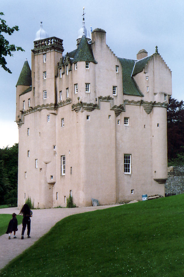
Craigievar Castle
Craigievar Castle is a pinkish harled castle or fortified country house 6 miles (9.7 km) south of Alford, Aberdeenshire, Scotland. It was the seat of Clan...
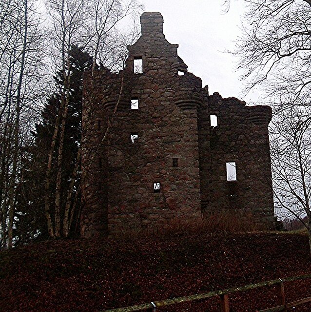
Corse Castle
Corse Castle near Lumphanan in Aberdeenshire, now ruined, was a fortress and centre of a landed estate in the north-east of Scotland. The present castle...

A980 road
The A980 road is a relatively short 20.6-mile (33.2 km) main road in north-east Scotland. The A980 connects the A944 road with the trunk A93 road. ��2...

Aberdeenshire (historic)
Aberdeenshire or the County of Aberdeen (Scots: Coontie o Aiberdeen, Scottish Gaelic: Siorrachd Obar Dheathain) is a historic county and registration county...

Cushnie Castle
Cushnie Castle was a 16th-century tower house, about 6 miles (9.7 km) south west of Alford, Aberdeenshire, Scotland, near Cushnie Burn, in the Glen of...

Asloun Castle
Asloun Castle is a castle, formerly Z-plan, dating from the 16th century, 2 miles (3.2 km) south-west of Alford, in Aberdeenshire, Scotland, of which only...

Balfluig Castle
Balfluig Castle is an L-plan tower house, dating from the mid-16th century, a mile south of Alford, in the Howe of Alford, Aberdeenshire, Scotland. The...

Lumphanan
Lumphanan ( lum-FAN-ən; Scottish Gaelic: Lann Fhìonain) is a village in Aberdeenshire, Scotland located 25 miles (40 km) from Aberdeen and 10 miles (16...
Nearby Amenities
Located within 500m of 57.176908,-2.7291373Have you been to Castle Wood?
Leave your review of Castle Wood below (or comments, questions and feedback).