Craigievar Hill
Hill, Mountain in Aberdeenshire
Scotland
Craigievar Hill
Craigievar Hill is an iconic landmark located in Aberdeenshire, Scotland. Rising to an elevation of 483 meters (1,585 feet), it is an impressive hill that offers breathtaking panoramic views of the surrounding countryside.
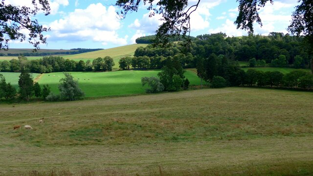
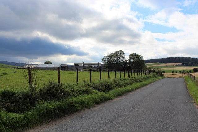
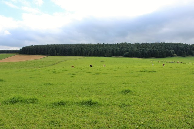
Situated near the village of Alford, Craigievar Hill is part of the Cairngorms National Park, renowned for its natural beauty and diverse wildlife. The hill is clad in heather and grass, creating a picturesque landscape that changes with the seasons. During spring and summer, the hill is a vibrant tapestry of colorful wildflowers, while in autumn, it transforms into a stunning display of golden hues.
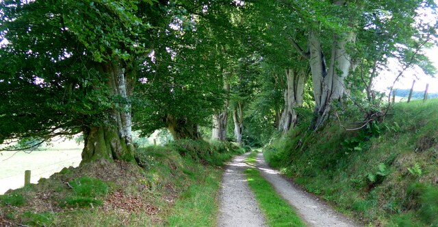
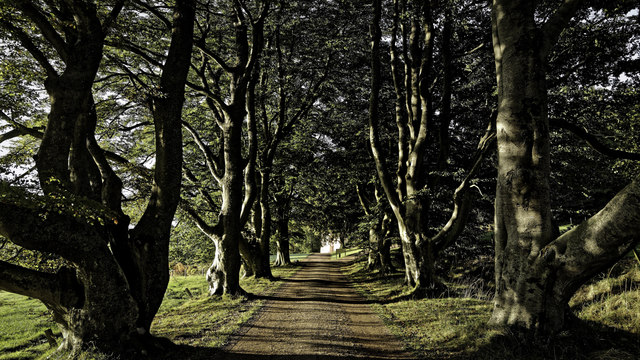
Craigievar Hill is a popular destination for outdoor enthusiasts and nature lovers. Several well-marked hiking trails traverse the hill, offering varying levels of difficulty to cater to different abilities. The paths wind through wooded areas, along babbling brooks, and up to the summit, providing visitors with a chance to enjoy the serene beauty of the Scottish countryside.
At the top of Craigievar Hill, visitors are rewarded with breathtaking views that stretch for miles. On a clear day, one can see the rolling hills and fertile farmland of Aberdeenshire, as well as distant peaks of the Cairngorms. It is a perfect spot for picnicking, photography, or simply taking in the tranquility and splendor of the Scottish landscape.
Overall, Craigievar Hill is a natural gem in Aberdeenshire, offering visitors a chance to immerse themselves in the beauty of nature and experience the awe-inspiring vistas that Scotland is renowned for.
If you have any feedback on the listing, please let us know in the comments section below.
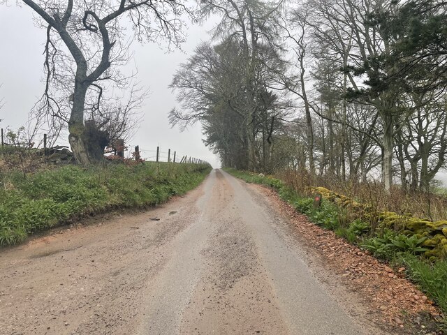
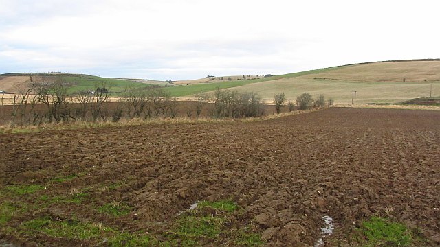
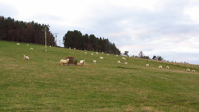
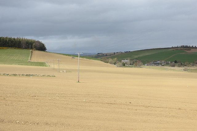
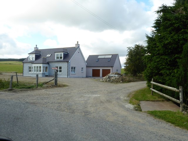
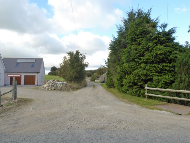
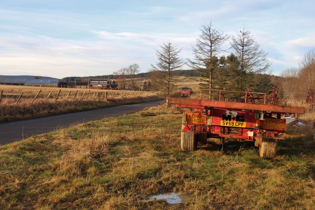
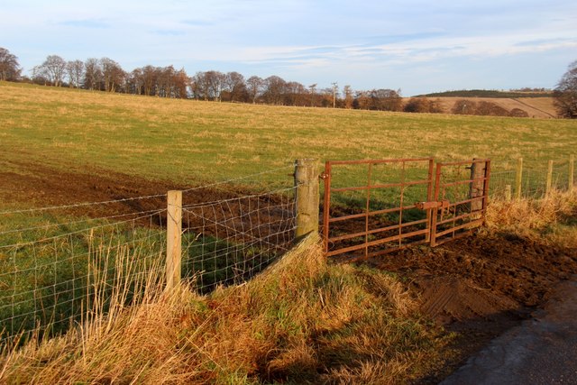
Craigievar Hill Images
Images are sourced within 2km of 57.174734/-2.7259355 or Grid Reference NJ5609. Thanks to Geograph Open Source API. All images are credited.


Craigievar Hill is located at Grid Ref: NJ5609 (Lat: 57.174734, Lng: -2.7259355)
Unitary Authority: Aberdeenshire
Police Authority: North East
What 3 Words
///smallest.survived.offstage. Near Alford, Aberdeenshire
Nearby Locations
Related Wikis
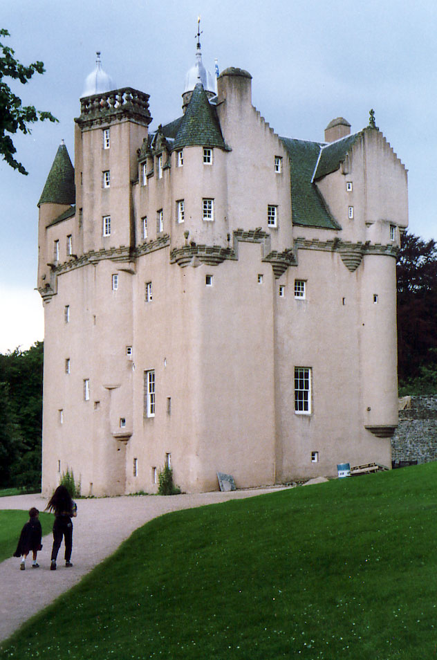
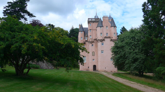
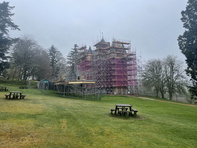
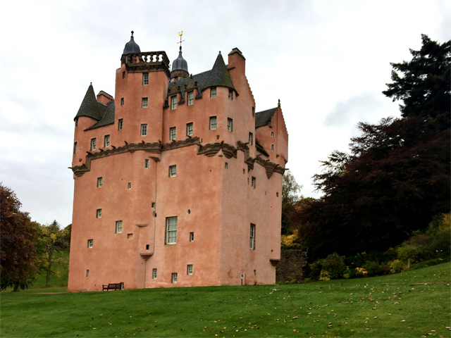
Craigievar Castle
Craigievar Castle is a pinkish harled castle or fortified country house 6 miles (9.7 km) south of Alford, Aberdeenshire, Scotland. It was the seat of Clan...
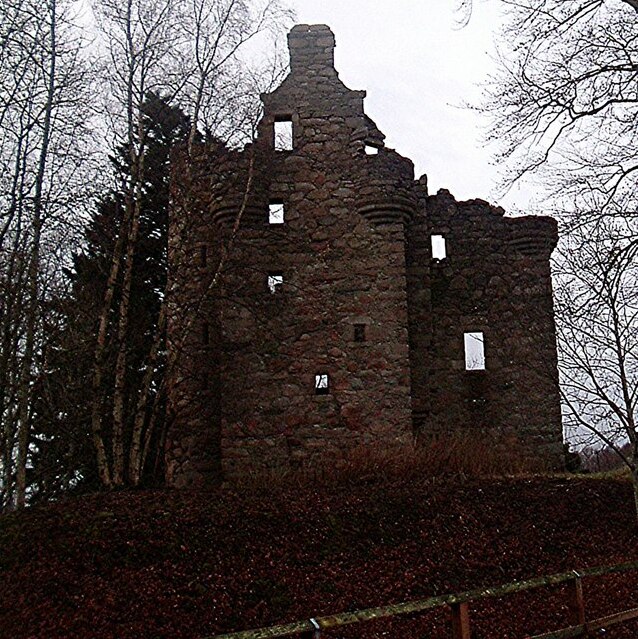
Corse Castle
Corse Castle near Lumphanan in Aberdeenshire, now ruined, was a fortress and centre of a landed estate in the north-east of Scotland. The present castle...

A980 road
The A980 road is a relatively short 20.6-mile (33.2 km) main road in north-east Scotland. The A980 connects the A944 road with the trunk A93 road. ��2...

Aberdeenshire (historic)
Aberdeenshire or the County of Aberdeen (Scots: Coontie o Aiberdeen, Scottish Gaelic: Siorrachd Obar Dheathain) is a historic county and registration county...

Cushnie Castle
Cushnie Castle was a 16th-century tower house, about 6 miles (9.7 km) south west of Alford, Aberdeenshire, Scotland, near Cushnie Burn, in the Glen of...

Asloun Castle
Asloun Castle is a castle, formerly Z-plan, dating from the 16th century, 2 miles (3.2 km) south-west of Alford, in Aberdeenshire, Scotland, of which only...

Lumphanan
Lumphanan ( lum-FAN-ən; Scottish Gaelic: Lann Fhìonain) is a village in Aberdeenshire, Scotland located 25 miles (40 km) from Aberdeen and 10 miles (16...

Lumphanan railway station
Lumphanan railway station, Lumphanan, Aberdeenshire, Scotland stood from 1859 to 1966 on the Deeside Railway that ran from Aberdeen (Joint) to Ballater...
Nearby Amenities
Located within 500m of 57.174734,-2.7259355Have you been to Craigievar Hill?
Leave your review of Craigievar Hill below (or comments, questions and feedback).