Crow Wood
Wood, Forest in Berwickshire
Scotland
Crow Wood
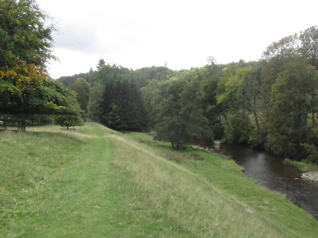
Crow Wood is a sprawling woodland located in the picturesque region of Berwickshire, Scotland. Covering an area of approximately 250 acres, it is a diverse and ecologically rich forest that offers a serene and peaceful escape for nature enthusiasts and outdoor lovers.
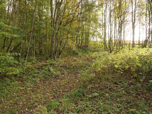
The wood is predominantly made up of native tree species such as oak, beech, and birch, which create a dense canopy overhead, providing shade and shelter for an abundance of wildlife. The forest floor is carpeted with a variety of wildflowers, ferns, and mosses, adding a vibrant touch of color to the surroundings.
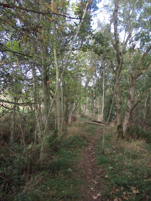
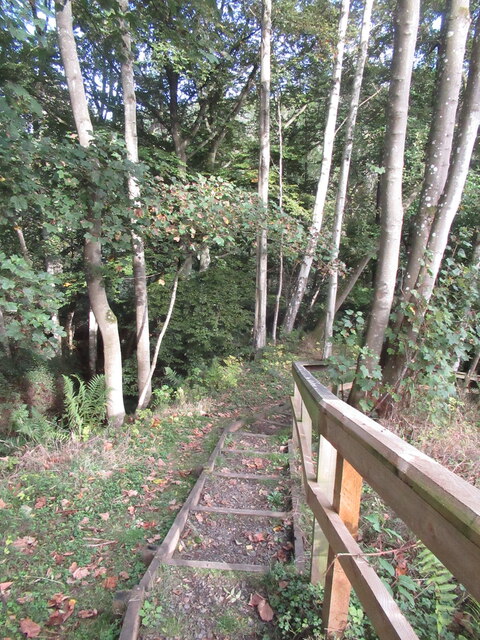
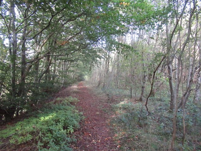
Traversing through Crow Wood, visitors will find a network of well-maintained trails and paths, allowing for leisurely walks and hikes. These trails meander through the woodland, leading visitors to hidden glens, enchanting waterfalls, and tranquil ponds. Birdwatchers can delight in the opportunity to spot a wide array of avian species such as woodpeckers, owls, and finches, while small mammals like red squirrels and rabbits can often be spotted scurrying amidst the undergrowth.
The wood is managed by a dedicated team of conservationists who prioritize the preservation of its natural beauty and biodiversity. Educational programs and guided tours are frequently organized to raise awareness about the importance of forest conservation and to showcase the unique flora and fauna that call Crow Wood their home.
Overall, Crow Wood in Berwickshire is a captivating woodland that invites visitors to immerse themselves in the sights, sounds, and scents of the natural world. It offers a tranquil retreat where one can appreciate the wonders of nature and reconnect with the serene beauty of the Scottish countryside.
If you have any feedback on the listing, please let us know in the comments section below.
Crow Wood Images
Images are sourced within 2km of 55.668844/-2.7008965 or Grid Reference NT5641. Thanks to Geograph Open Source API. All images are credited.

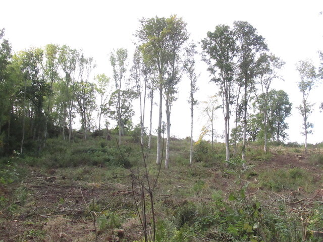
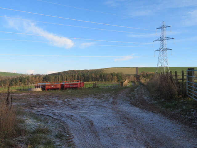
![Track across Legerwood Hill Heading 4km southeast from Birkenside to the Gordon-Earlston road [A6109]. A lot of timber cutting has been carried out, with piles of cut timber, waiting to be taken away, and huge piles of the rest of the woodland heaped up along the side of the track, the like of which I have not encountered before.](https://s1.geograph.org.uk/geophotos/07/35/87/7358745_81d332c2.jpg)
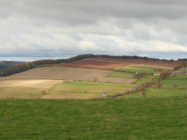
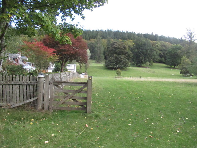
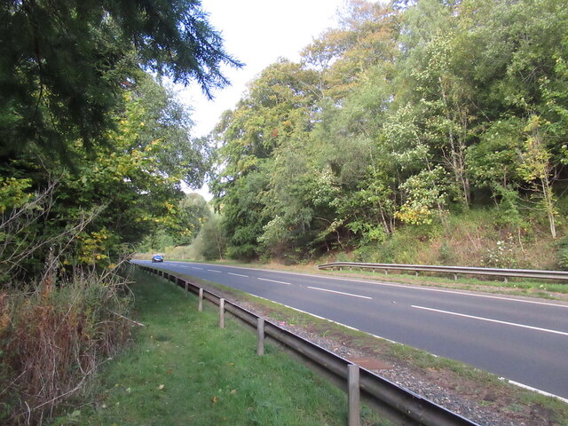
![Road to Birkenside
Heading 4km northwest from the Gordon-Earlston road [A6109] to Birkenside. Un-metalled here, but metalled at the southern end.](https://s0.geograph.org.uk/geophotos/07/35/87/7358764_3c3bbf43.jpg)
Crow Wood is located at Grid Ref: NT5641 (Lat: 55.668844, Lng: -2.7008965)
Unitary Authority: The Scottish Borders
Police Authority: The Lothians and Scottish Borders
What 3 Words
///tuned.owls.flask. Near Earlston, Scottish Borders
Nearby Locations
Related Wikis

Birkenside, Scottish Borders
Birkenside is a village in the Scottish Borders, Scotland.

Carolside, Scottish Borders
Carolside is an estate by the Leader Water, in the Scottish Borders. It is located one mile (1.6 km) north of Earlston, in the former county of Berwickshire...

Whitslaid Tower
Whitslaid Tower was an ancient Berwickshire seat of the Lauder family for over 300 years. It is today a ruin high above the eastern bank of the Leader...

Legerwood
Legerwood is a village by the Eden Water, in the Scottish Borders area of Scotland, near Lauder, near the Southern Upland Way. Legerwood Kirk is outside...
Nearby Amenities
Located within 500m of 55.668844,-2.7008965Have you been to Crow Wood?
Leave your review of Crow Wood below (or comments, questions and feedback).