Effledge Strip

Wood, Forest in Roxburghshire

Scotland

Effledge Strip

Hillside grazing towards Henlaw Plantation Off the A6088.
Hillside grazing towards Henlaw Plantation Credit: JThomas

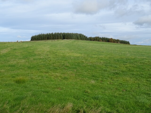
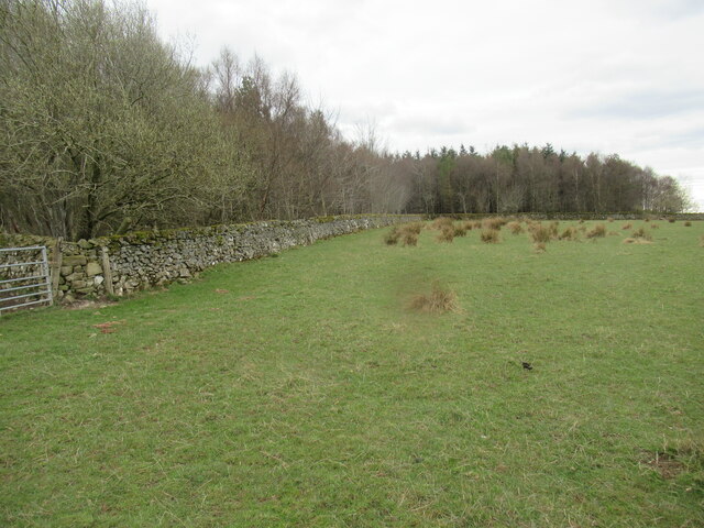
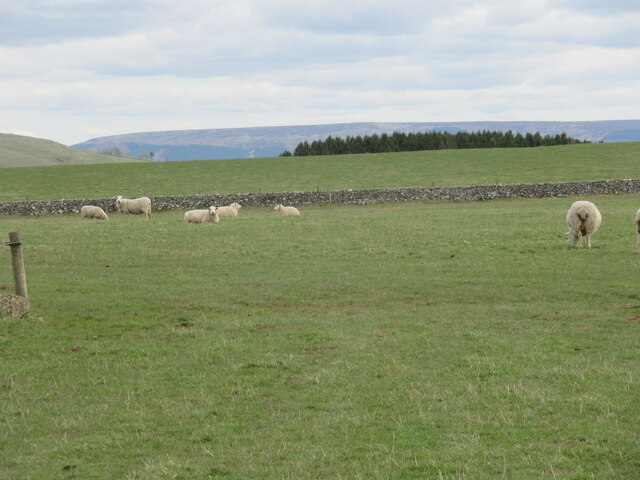
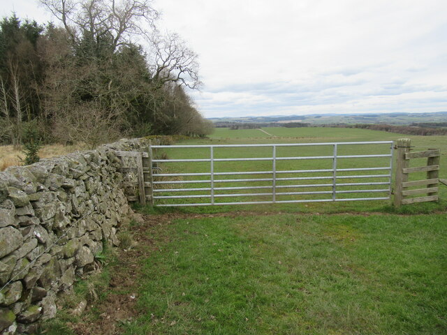
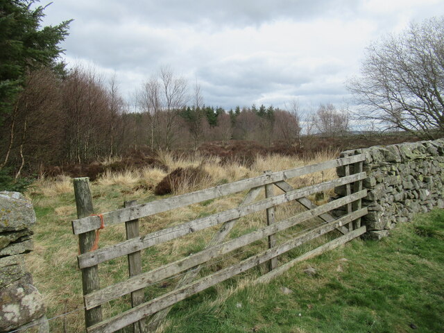
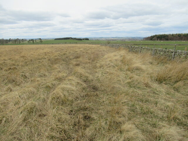
Effledge Strip is a serene and picturesque woodland area located in Roxburghshire, Scotland. Situated amidst the stunning natural landscape of the Scottish Borders, this forested region covers a vast expanse of approximately 500 acres. The strip is named after the Effledge Burn, a small stream that runs through the heart of the woodland, adding to its idyllic charm.

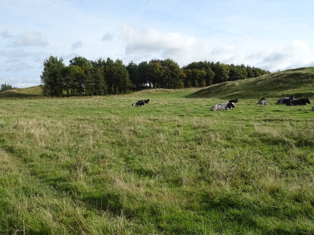
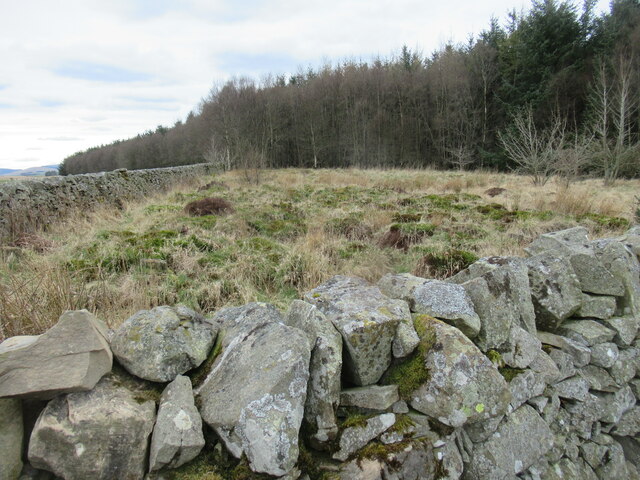
Effledge Strip is predominantly composed of deciduous trees, including oak, beech, and birch, which create a rich and diverse ecosystem. The dense canopy of foliage provides a habitat for a wide range of wildlife, including various species of birds, small mammals, and insects. Nature enthusiasts and bird watchers are often drawn to this area due to the abundance of avian life, including woodpeckers, owls, and various migratory birds that visit the woodland throughout the year.

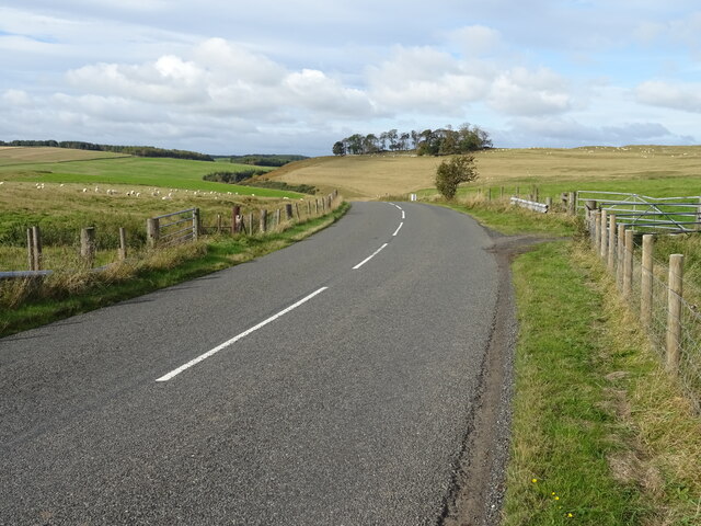
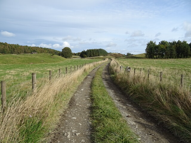
The forest offers a network of well-maintained walking trails, allowing visitors to explore the beauty of Effledge Strip at their own pace. These trails wind through the woodland, offering breathtaking views of the surrounding countryside and providing opportunities for peaceful walks and hikes. The tranquility of the forest makes it an ideal location for those seeking solace and a connection with nature.

Effledge Strip is also known for its historical significance, with remnants of ancient settlements and archaeological sites scattered throughout the area. These remnants serve as a reminder of the rich cultural heritage that envelops the woodland.

Overall, Effledge Strip in Roxburghshire is a captivating destination that showcases the splendor of Scotland's woodlands. With its diverse flora and fauna, scenic trails, and historical sites, it offers a unique and immersive experience for nature lovers and history enthusiasts alike.

If you have any feedback on the listing, please let us know in the comments section below.

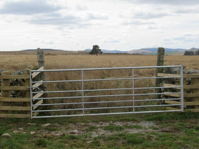
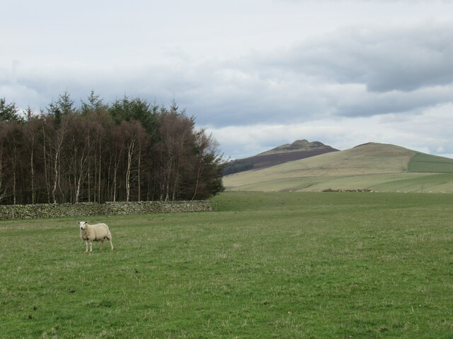
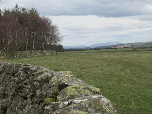
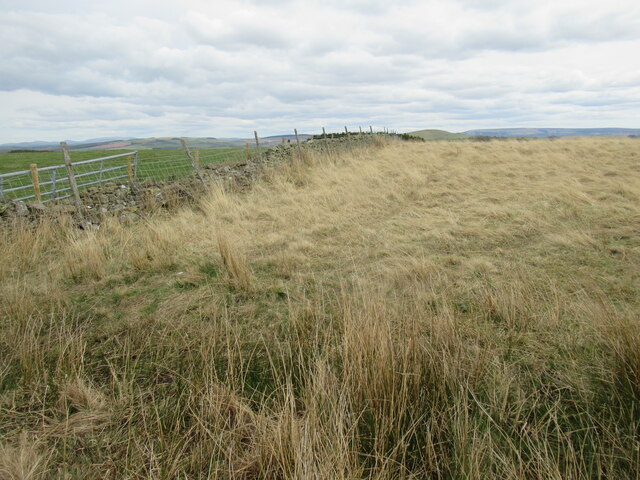
Effledge Strip Images

Images are sourced within 2km of 55.424534/-2.702597 or Grid Reference NT5514. Thanks to Geograph Open Source API. All images are credited.

Hillside grazing towards Henlaw Plantation Off the A6088.
Hillside grazing towards Henlaw Plantation
Off the A6088.
Bend in the A6088 towards Hawick
Hillside grazing above the A6088
A6088 towards Hawick
Grazing near Kirkton
Track towards Cavers Knowes
Burnt Plantation near Denholm in The Scottish Borders Enclosed in drystane with odd bits left to birch and, as here, heather and moss. The curves on all its sides would have given shelter from a complexity of airts although whether or not that was its purpose is not in my ken. Its occupants this day were Scandinavian timbers - of previous incumbents there was no hint!
Burnt Plantation near Denholm in The Scottish Borders
Enclosed in drystane with odd bits left to birch and, as here, heather and moss. The curves on all its sides would have given shelter from a complexity of airts although whether or not that was its purpose is not in my ken. Its occupants this day were Scandinavian timbers - of previous incumbents there was no hint!
Gate with view to Rubers Law near Denholm Bit of refurbishment has gone on since last visitor!
Gate with view to Rubers Law near Denholm
Bit of refurbishment has gone on since last visitor!
Burnt Plantation near Denholm in The Scottish Borders More of a species mix at this corner of the wood. What should be a well-drained ridge is clayey enough to host an host of rashies!
Burnt Plantation near Denholm in The Scottish Borders
More of a species mix at this corner of the wood. What should be a well-drained ridge is clayey enough to host an host of rashies!
Sheep in upland field near Denholm, Scottish Borders
Gate at north-east margin of Burnt Plantation near Denholm in The Scottish Borders
An unplanted neb of Burnt Plantation near Denholm Scrub birch, heather and moss rule here in this corner. A sheltered spot by the look of it!
An unplanted neb of Burnt Plantation near Denholm
Scrub birch, heather and moss rule here in this corner. A sheltered spot by the look of it!
Re-furbished gate near A6088 One or two native Scots Pines around trying to achieve independence. I wonder if they escaped the Burnt Plantation? Beyond ma ken again!
Re-furbished gate near A6088
One or two native Scots Pines around trying to achieve independence. I wonder if they escaped the Burnt Plantation? Beyond ma ken again!
Yin sheep upon the sward near Denholm
Dyked Burnt Plantation near Denholm A Rolls-Royce of woodland boundaries!
Dyked Burnt Plantation near Denholm
A Rolls-Royce of woodland boundaries!
Plantation above Heathfield near Bonchester Bridge Not rich grassland by any means, but sufficient for modern types. A Blackie would have viewed disdainfully such verdant decadence!
Plantation above Heathfield near Bonchester Bridge
Not rich grassland by any means, but sufficient for modern types. A Blackie would have viewed disdainfully such verdant decadence!
Rough pasture in early spring fit for Blackface ewes or Galloway cattle above Bonchester Bridge
Rough pasture above Bonchester Bridge in The Scottish Borders The beasts that would thrive on this are commercially defunct.
Rough pasture above Bonchester Bridge in The Scottish Borders
The beasts that would thrive on this are commercially defunct.
Show me another place!

Effledge Strip is located at Grid Ref: NT5514 (Lat: 55.424534, Lng: -2.702597)

Unitary Authority: The Scottish Borders

Police Authority: The Lothians and Scottish Borders

What 3 Words

///marinated.rainwater.phones. Near Hawick, Scottish Borders

Nearby Locations

Effledge Strip

Related Wikis

Cavers Castle

Cavers Castle, also known as Cavers House, is a ruined tower house located at Cavers, Scottish Borders, Scotland. Cavers Castle was a much extended tower...

Cavers, Scottish Borders

Cavers is a parish in the Scottish Borders area of Scotland, in the former county of Roxburghshire, south and east of Hawick. The largest village in the...

Kirkton, Scottish Borders

Kirkton is a village in the Scottish Borders area of Scotland, off the A6088, near Hawick. Grid Ref. NT5413. It is a former parish, amalgamated into the...

Rubers Law

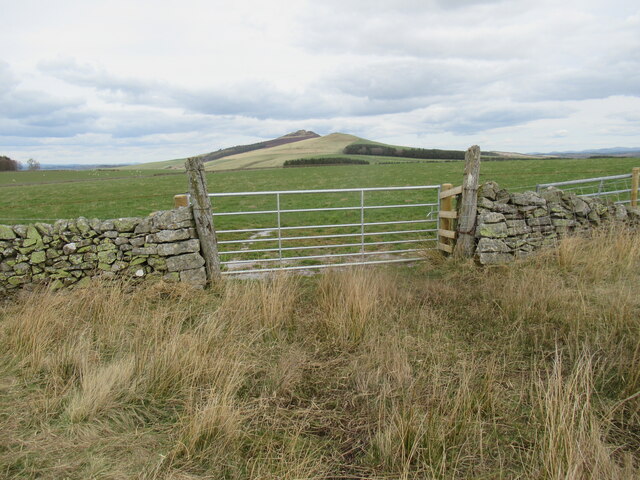
Rubers Law is a prominent, conical hill in the Scottish Borders area of south-east Scotland. It stands on the south bank of the River Teviot, between the...

Nearby Amenities

Located within 500m of 55.424534,-2.702597
Effledge
Place: isolated_dwelling
Lat/Long: 55.4287285/-2.7025535
Nether Tofts
Place: hamlet
Lat/Long: 55.4237186/-2.705658
Generator Method: photovoltaic
Generator Output Electricity: yes
Generator Source: solar
Generator Type: solar_photovoltaic_panel
Power: generator
Lat/Long: 55.4237867/-2.7066694
Power: pole
Lat/Long: 55.4230778/-2.7095609
Power: pole
Lat/Long: 55.4238837/-2.7081204
Power: pole
Lat/Long: 55.4245741/-2.7075656
Power: pole
Lat/Long: 55.4252847/-2.7069866
Power: pole
Lat/Long: 55.4259736/-2.7064368
Power: pole
Lat/Long: 55.4264957/-2.705401
Power: pole
Lat/Long: 55.4270171/-2.7043804
Power: pole
Lat/Long: 55.4275543/-2.7033064
Power: pole
Lat/Long: 55.4280959/-2.7022171
Power: pole
Lat/Long: 55.4284844/-2.701451
Power: pole
Lat/Long: 55.4237162/-2.7076343
Power: pole
Lat/Long: 55.4235689/-2.707222
Power: pole
Lat/Long: 55.4284367/-2.7021891
Power: pole
Lat/Long: 55.4283819/-2.7030035
The data included in this document is from www.openstreetmap.org. The data is made available under ODbL.

Have you been to Effledge Strip?

Leave your review of Effledge Strip below (or comments, questions and feedback).