Black Wood

Wood, Forest in Angus

Scotland

Black Wood

Roe Deer Three roes watch me warily as I approach, but, unusually, they didn't turn and flee.
Roe Deer Credit: Anne Burgess

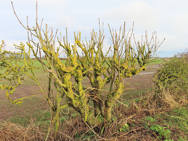
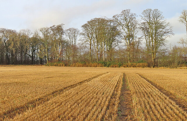
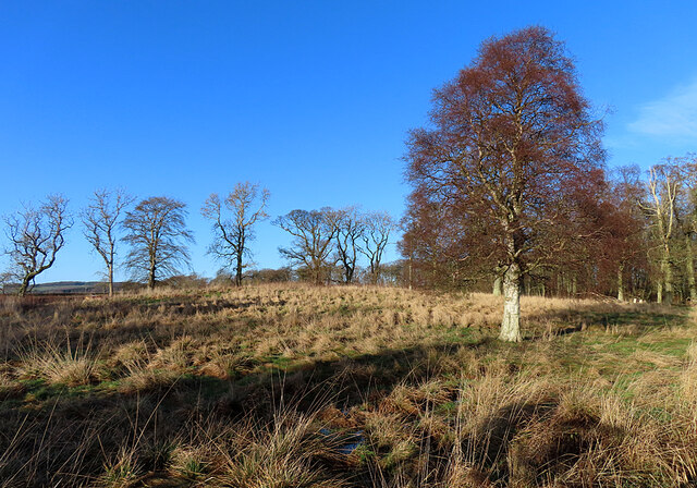
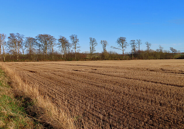
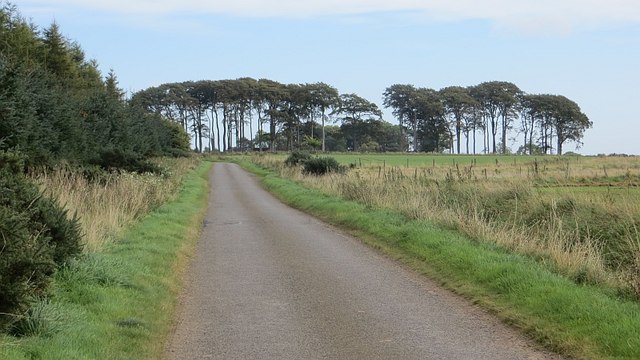
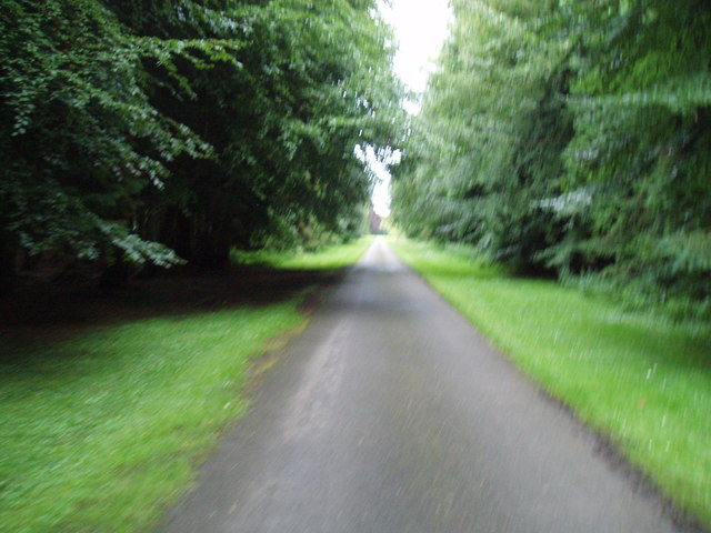
Black Wood, Angus, also known as Black Wood Forest, is a stunning woodland located in the county of Angus, Scotland. Covering an area of approximately 4,000 acres, it is one of the largest remaining ancient woodlands in the country. The forest is situated near the town of Kirriemuir and is easily accessible from major cities such as Dundee and Aberdeen.

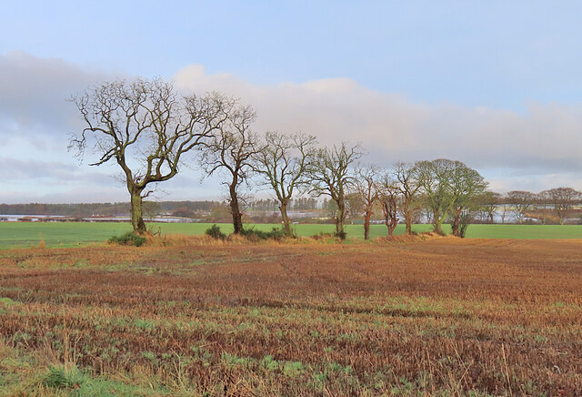
This ancient forest is characterized by its dense canopy of tall, mature trees predominantly composed of oak and birch species. The woodland floor is adorned with a rich tapestry of native flora, including bluebells, wood anemones, and wild garlic, creating a breathtaking display of colors during springtime.

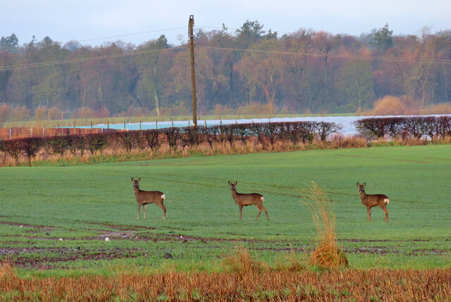
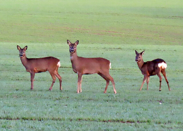
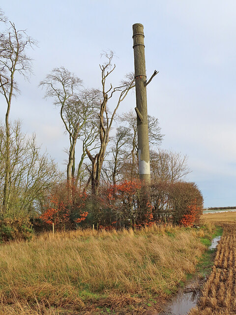
Black Wood, Angus is not only a haven for nature enthusiasts but also a wildlife sanctuary. The forest provides a vital habitat for a diverse range of animal species, including red squirrels, roe deer, and various bird species such as woodpeckers and owls. It is also home to numerous rare and protected species, making it an important conservation area.

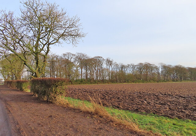
The forest offers visitors a network of well-maintained walking trails, allowing them to explore the woodland and appreciate its natural beauty. These trails cater to different levels of difficulty, from easy strolls to more challenging hikes, ensuring that there is something for everyone.

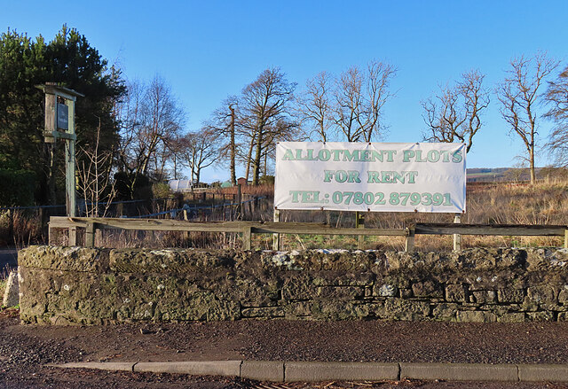
Black Wood, Angus is managed by a local conservation organization in collaboration with the Forestry Commission. Their efforts aim to protect and preserve the woodland's unique ecosystem while also promoting sustainable recreational activities for visitors to enjoy.

If you have any feedback on the listing, please let us know in the comments section below.

Black Wood Images

Images are sourced within 2km of 56.531412/-2.7224733 or Grid Reference NO5537. Thanks to Geograph Open Source API. All images are credited.

Roe Deer Three roes watch me warily as I approach, but, unusually, they didn't turn and flee.
Roe Deer
Three roes watch me warily as I approach, but, unusually, they didn't turn and flee.
Field Boundary A row of trees marks the boundary of two fields at Carlogie.
Field Boundary
A row of trees marks the boundary of two fields at Carlogie.
Roe Deer Still watching me, two minutes after <a href="https://www.geograph.org.uk/photo/7680705">NO5536 : Roe Deer</a>.
Roe Deer
Still watching me, two minutes after NO5536 : Roe Deer.
Ploughed Field Still partly surrounded by strips of woodland.
Ploughed Field
Still partly surrounded by strips of woodland.
Pollarded Ash This bush is in the hedgerow beside the road, and has been so often mangled by brush-cutters that its shape bers no resemblance to a natural ash tree.
Pollarded Ash
This bush is in the hedgerow beside the road, and has been so often mangled by brush-cutters that its shape bers no resemblance to a natural ash tree.
Stubble Field Parallel rows of stubble lead the eye towards the shelter belt on the north side of the field.
Stubble Field
Parallel rows of stubble lead the eye towards the shelter belt on the north side of the field.
Fake Tree When I first caught sight of this I wondered if it was a chimney, but closer inspections revealed that it seems to be made of concrete, with branch-like appendages. The map confirms that it is a telecommunications mast.
Fake Tree
When I first caught sight of this I wondered if it was a chimney, but closer inspections revealed that it seems to be made of concrete, with branch-like appendages. The map confirms that it is a telecommunications mast.
Carlogie House Carlogie House was built in 1854 and was the residence of the factor of Panmure Estate. It was a hotel for time, and is now self-catering holiday accommodation.
Carlogie House
Carlogie House was built in 1854 and was the residence of the factor of Panmure Estate. It was a hotel for time, and is now self-catering holiday accommodation.
Open Woodland A small patch of open woodland just north of Carlogie.
Open Woodland
A small patch of open woodland just north of Carlogie.
Stubble Field A field awaiting ploughing and seeding in the coming spring.
Stubble Field
A field awaiting ploughing and seeding in the coming spring.
Carlogie Allotments One of several diversification projects at Carlogie.
Carlogie Allotments
One of several diversification projects at Carlogie.
Panmure East Gate Lodge South This is the more southerly of a mirror-image pair of gate lodges at the entrance to the main drive to Panmure House. The two lodges and the gate between them are Category B Listed. They were designed by David Bryce and erected in 1852.
Panmure East Gate Lodge South
This is the more southerly of a mirror-image pair of gate lodges at the entrance to the main drive to Panmure House. The two lodges and the gate between them are Category B Listed. They were designed by David Bryce and erected in 1852.
Panmure House East Gate The gate stands between a pair of mirror-image gate lodges at the east entrance to Panmure House. The two lodges and the gate between them are Category B Listed. They were designed by David Bryce and erected in 1852.
Panmure House East Gate
The gate stands between a pair of mirror-image gate lodges at the east entrance to Panmure House. The two lodges and the gate between them are Category B Listed. They were designed by David Bryce and erected in 1852.
Panmure East Gate Lodge North This is the more northerly of a mirror-image pair of gate lodges at the entrance to the main drive to Panmure House. The two lodges and the gate between them are Category B Listed. They were designed by David Bryce and erected in 1852.
Panmure East Gate Lodge North
This is the more northerly of a mirror-image pair of gate lodges at the entrance to the main drive to Panmure House. The two lodges and the gate between them are Category B Listed. They were designed by David Bryce and erected in 1852.
Balbinnie A minor road alongside Balbinnie Wood.
Balbinnie
A minor road alongside Balbinnie Wood.
Former stables and service court, Panmure Estate This former stables and service court on the Panmure Estate were attached to the now demolished Panmure House (1955) and belong to the architectural portfolio of David Bryce (1852).
Former stables and service court, Panmure Estate
This former stables and service court on the Panmure Estate were attached to the now demolished Panmure House (1955) and belong to the architectural portfolio of David Bryce (1852).
Estate drive on Panmure Estate This driveway leads to the Eastern Gates at Panmure.
Estate drive on Panmure Estate
This driveway leads to the Eastern Gates at Panmure.
Lower Balmachie
Lower Balmachie
Show me another place!

Black Wood is located at Grid Ref: NO5537 (Lat: 56.531412, Lng: -2.7224733)

Unitary Authority: Angus

Police Authority: Tayside

What 3 Words

///muffin.dentures.messaging. Near Carnoustie, Angus

Nearby Locations

Black Wood

Related Wikis

Muirdrum

Muirdrum () is a small village in the council area of Angus, Scotland. It is situated at the junction of the old A92 road from Dundee to Arbroath, the...
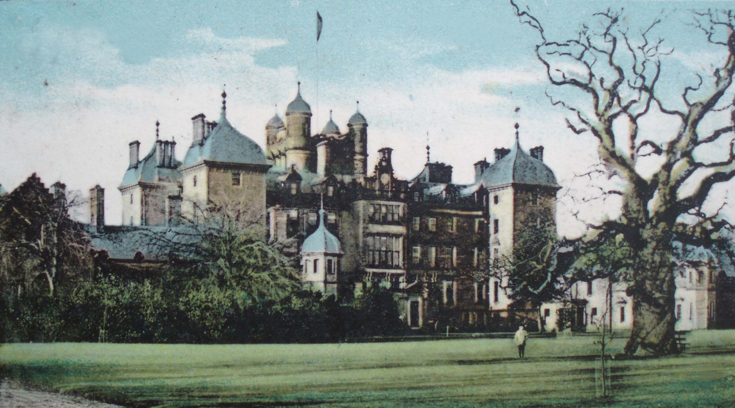
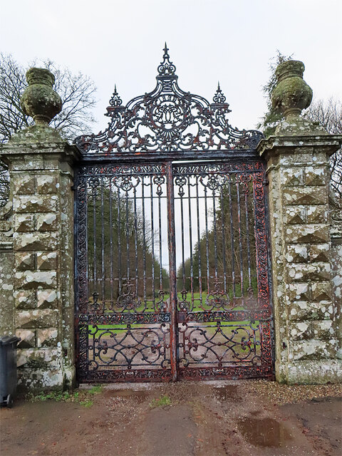
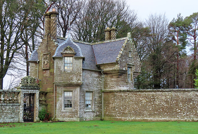
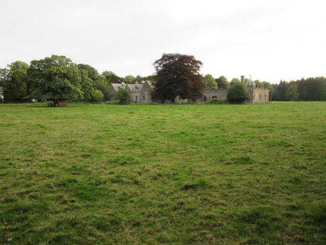
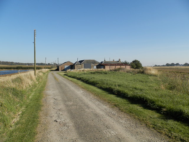
Panmure House

Panmure House was a 17th-century country house in the Parish of Panbride, Angus, Scotland, 4 miles (6 km) to the north of Carnoustie. It was the seat of...

Carlogie

Carlogie is a hamlet in Angus, Scotland. It lies approximately half a mile north of Carnoustie on the A930 road. Carlogie House was erected in 1854 as...

Salmond's Muir

Salmond's Muir is a hamlet in the council area of Angus, Scotland. It is situated 2 miles (3 km) north-east of Carnoustie and 4 miles (6 km) west of Arbroath...

Balmirmer

Balmirmer is a hamlet in the council area of Angus, Scotland. It is situated 2 miles (3 km) north-east of Carnoustie and 4 miles (6 km) west of Arbroath...

Clayholes

Clayholes is a small hamlet in Angus, Scotland. It lies approximately 0.5 kilometres (0.31 mi) north of Carnoustie on the unclassified Balmachie road,...

Panbride

Panbride is a village and civil parish in the council area of Angus, Scotland. It is situated 0.5 miles (1 km) north-east of Carnoustie and 6 miles (10...

Upper Victoria

Upper Victoria is a hamlet in Angus, Scotland. It lies on the A92 road between Arbroath and Dundee and is the location of the junction of the A92 and the...

Nearby Amenities

Located within 500m of 56.531412,-2.7224733
Auchrennie
Place: hamlet
Lat/Long: 56.5277902/-2.7198651
Power: pole
Lat/Long: 56.5273211/-2.724673
Power: pole
Lat/Long: 56.5283653/-2.7257693
Power: pole
Lat/Long: 56.5293868/-2.7267931
Power: pole
Lat/Long: 56.5304257/-2.7276719
Power: pole
Lat/Long: 56.5314646/-2.7285697
Power: pole
Lat/Long: 56.532328/-2.7293352
Power: pole
Lat/Long: 56.5332946/-2.7151597
Power: pole
Lat/Long: 56.5329536/-2.7161174
Power: pole
Lat/Long: 56.5326699/-2.7169216
Power: pole
Lat/Long: 56.5328106/-2.7176913
Power: pole
Lat/Long: 56.5331062/-2.7189668
Power: pole
Lat/Long: 56.5332588/-2.7201667
Power: pole
Lat/Long: 56.5333971/-2.7212973
Power: pole
Lat/Long: 56.533533/-2.7224107
Power: pole
Lat/Long: 56.5336618/-2.7234787
Power: pole
Lat/Long: 56.5338156/-2.7247542
Power: pole
Lat/Long: 56.5339658/-2.7260103
Power: pole
Lat/Long: 56.534445/-2.7266005
Power: pole
Lat/Long: 56.5349898/-2.7272577
Power: pole
Lat/Long: 56.5274047/-2.71917
Power: pole
Lat/Long: 56.5274941/-2.7195743
The data included in this document is from www.openstreetmap.org. The data is made available under ODbL.

Have you been to Black Wood?

Leave your review of Black Wood below (or comments, questions and feedback).