Redwells Wood
Wood, Forest in Fife
Scotland
Redwells Wood

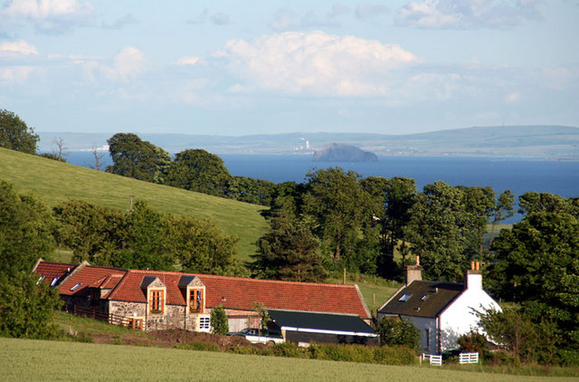
Redwells Wood is a picturesque forest located in the region of Fife, Scotland. Covering an area of approximately 100 acres, this woodland is a haven for nature enthusiasts and offers a tranquil escape from the hustle and bustle of everyday life.
The wood is predominantly composed of native species, including oak, birch, and Scots pine trees. These towering giants create a dense canopy that provides shade, while also allowing some sunlight to filter through to the forest floor. The result is a diverse understory of plants, including bluebells, ferns, and wildflowers that carpet the ground during the spring and summer months.
Visitors to Redwells Wood can enjoy a network of well-maintained walking trails that wind through the forest, offering breathtaking views of the surrounding countryside. These trails cater to all levels of fitness and provide opportunities for leisurely strolls or more challenging hikes. The forest is also home to an abundance of wildlife, including red squirrels, roe deer, and a variety of bird species, making it a haven for animal lovers and birdwatchers.
Additionally, Redwells Wood is a site of historical interest, with remnants of ancient settlements and archaeological features scattered throughout the area. These artifacts serve as a reminder of the rich cultural heritage that is intertwined with the natural beauty of the wood.
Overall, Redwells Wood is a captivating destination that offers visitors the chance to immerse themselves in the beauty of nature, explore its rich history, and enjoy a peaceful retreat in the heart of Fife.
If you have any feedback on the listing, please let us know in the comments section below.
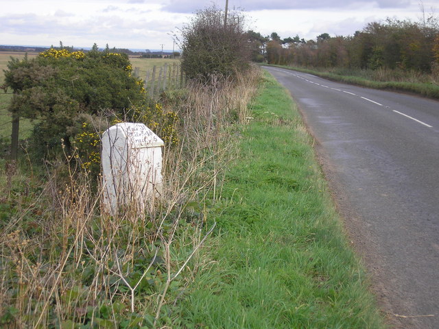
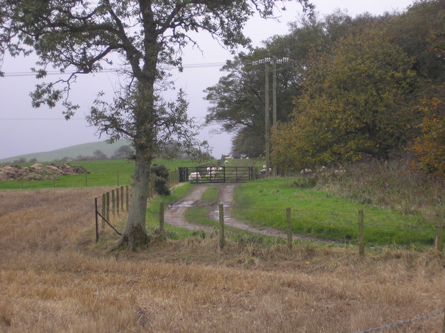
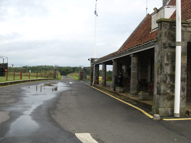
Redwells Wood Images
Images are sourced within 2km of 56.266588/-2.7180704 or Grid Reference NO5508. Thanks to Geograph Open Source API. All images are credited.


Redwells Wood is located at Grid Ref: NO5508 (Lat: 56.266588, Lng: -2.7180704)
Unitary Authority: Fife
Police Authority: Fife
What 3 Words
///symphony.reckons.skill. Near Anstruther, Fife
Nearby Locations
Related Wikis
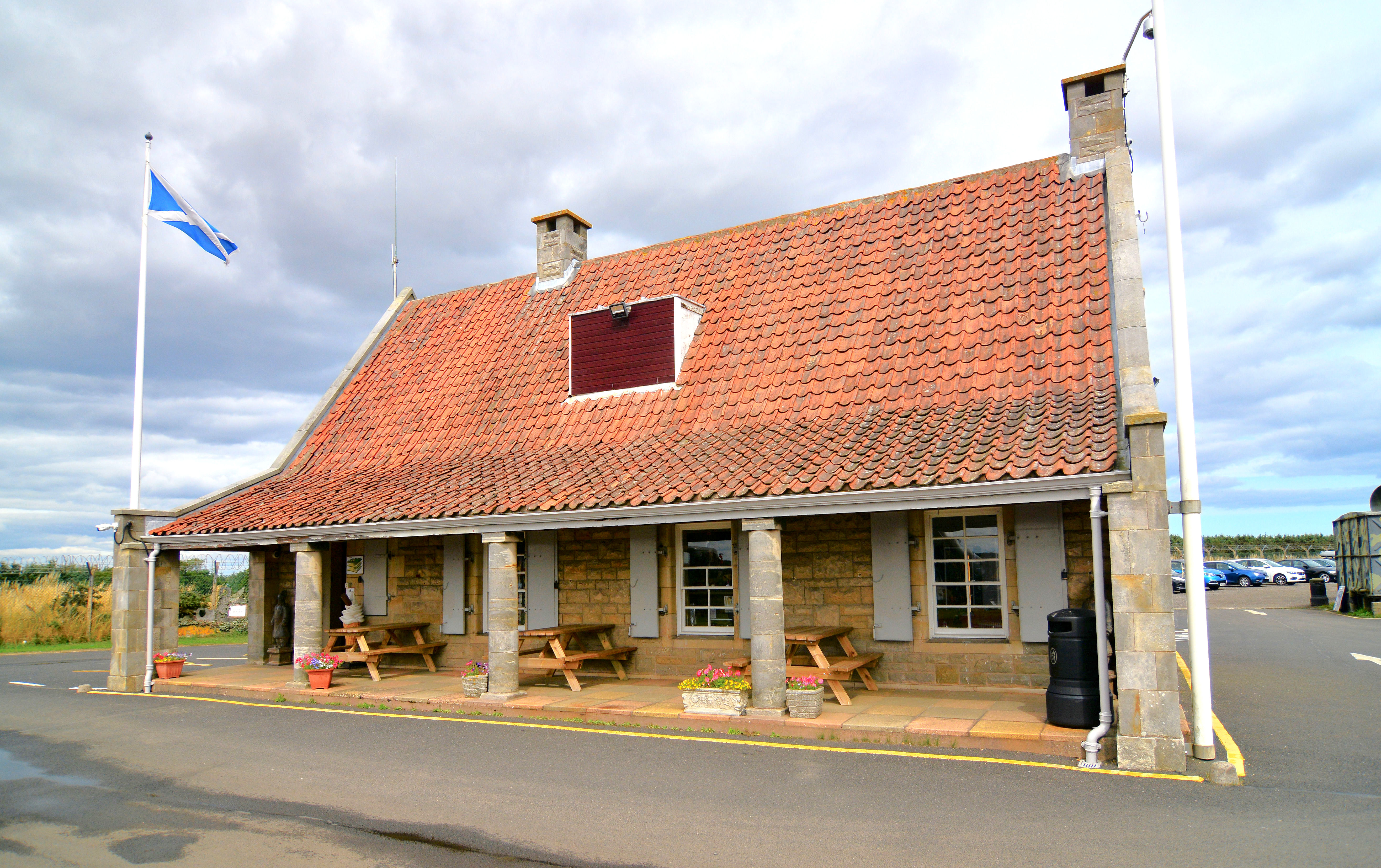
Scotland's Secret Bunker
Scotland's Secret Bunker is a nuclear bunker turned into a Cold War museum. == History == The nuclear bunker was built in 1952 with the original purpose...

RNAS Dunino (HMS Jackdaw II)
Royal Naval Air Station Dunino or more simply RNAS Dunino (HMS Jackdaw II) is a former Fleet Air Arm base located 1.8 miles (2.9 km) west of Kingsbarns...
East Neuk
The East Neuk ( ) or East Neuk of Fife is an area of the coast of Fife, Scotland. "Neuk" is the Scots word for nook or corner, and the East Neuk is generally...

Dunino
See also Dunino, Poland.Dunino is a village and parish in the East Neuk of Fife. It is 10 km from the nearest town, St Andrews, and 8 km from the fishing...
Related Videos
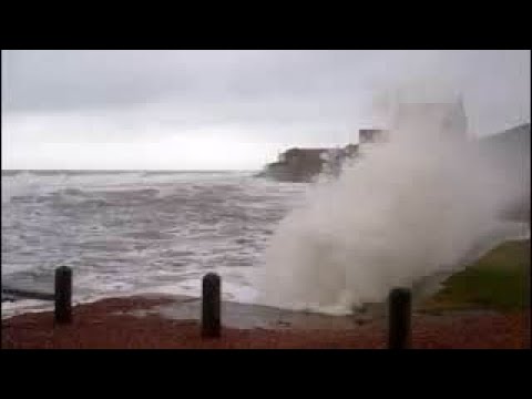
Autumn Storm Waves By Coastal Walking Path On History Visit To East Neuk Of Fife Scotland
Tour Scotland 4K Autumn travel video of the sight and sounds of wind and storm waves weather by the coastal walking path on ...
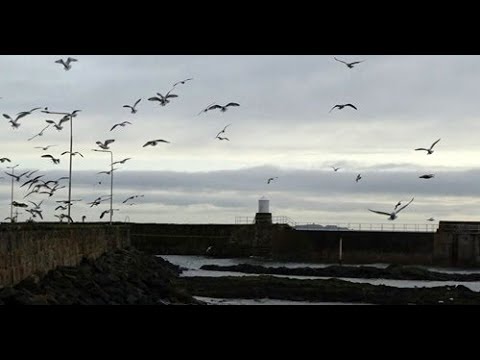
Winter Tide Coming In By The Coastal Walking Path On Visit To East Neuk Of Fife Scotland
Tour Scotland Winter 4K travel video of the tide coming in, and seagulls, by the coastal walking path on visit to the East Neuk of ...

Winter Waves By Coastal Walking Path On Visit To The East Neuk Of Fife Scotland
Tour Scotland 4K Winter travel of waves by the coastal walking path on visit to the East Neuk of Fife. " Neuk " is the Scots word for ...

What It's Like to Stay in a Tiny Scottish Village by the Sea
What It's Like to Stay in a Tiny Scottish Village by the Sea Hello friends, If you've ever wondered what it's like to live in a tiny village ...
Nearby Amenities
Located within 500m of 56.266588,-2.7180704Have you been to Redwells Wood?
Leave your review of Redwells Wood below (or comments, questions and feedback).