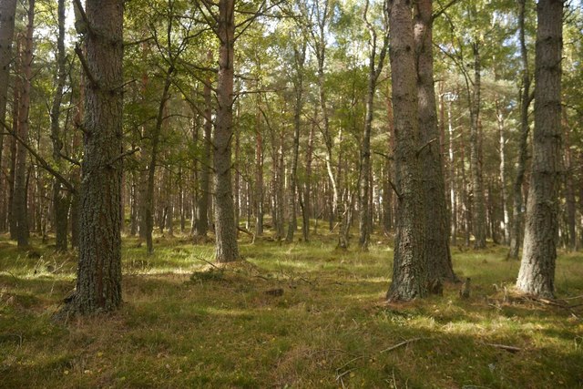
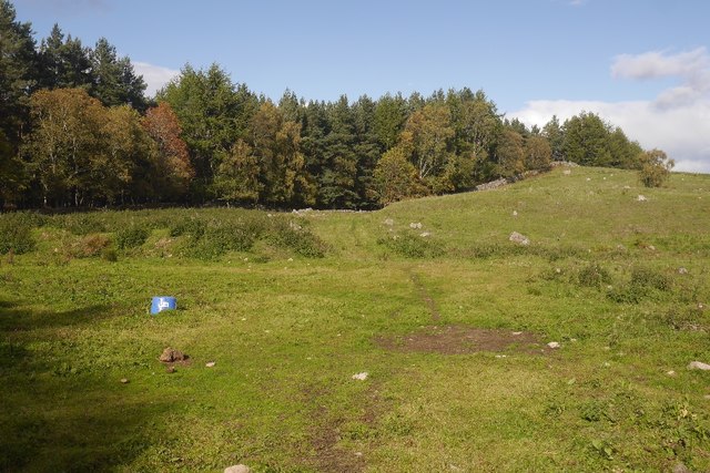
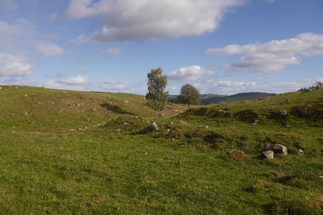
Haugh Plantation

Wood, Forest in Aberdeenshire

Scotland

Haugh Plantation

Bell Wood Open conifer forest on the edge of Aboyne.
Bell Wood Credit: Alan Reid

The requested URL returned error: 429 Too Many Requests

If you have any feedback on the listing, please let us know in the comments section below.

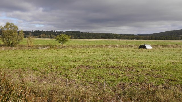
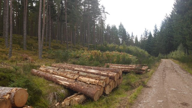
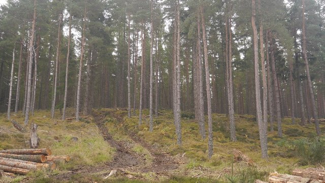
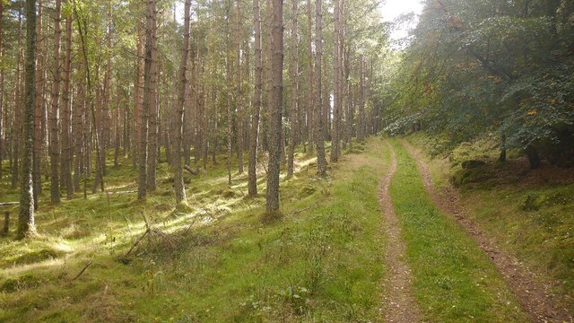
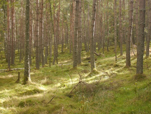
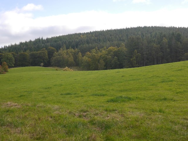
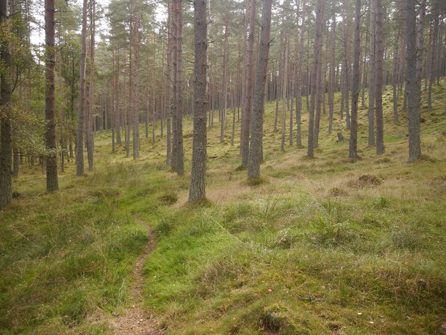
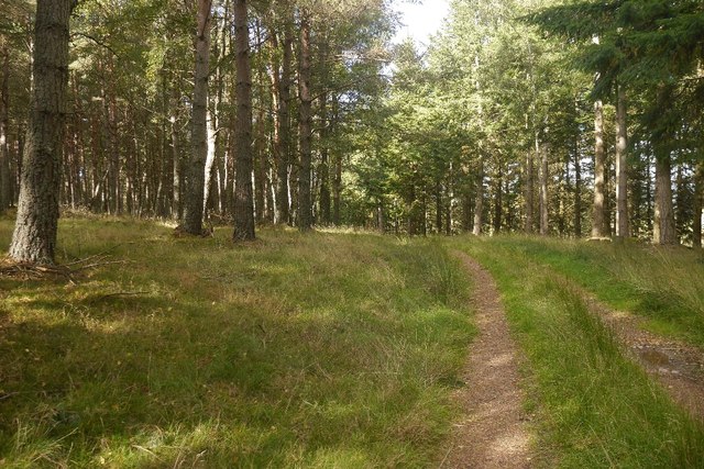
Haugh Plantation Images

Images are sourced within 2km of 57.067086/-2.7337432 or Grid Reference NO5597. Thanks to Geograph Open Source API. All images are credited.

Bell Wood Open conifer forest on the edge of Aboyne.
Bell Wood
Open conifer forest on the edge of Aboyne.
Bell wood seat with a view Geocaching is a type of global treasure hunt of people looking for caches, or hidden stashes of objects. Geocaching may also be described as a series of hide-and-seek games, where hiders provide online clues for seekers. Seekers use global positioning system (GPS) devices to find hidden caches
Bell wood seat with a view
Geocaching is a type of global treasure hunt of people looking for caches, or hidden stashes of objects. Geocaching may also be described as a series of hide-and-seek games, where hiders provide online clues for seekers. Seekers use global positioning system (GPS) devices to find hidden caches
Bell Wood picnic spot Geocaching is a type of global treasure hunt of people looking for caches, or hidden stashes of objects. Geocaching may also be described as a series of hide-and-seek games, where hiders provide online clues for seekers. Seekers use global positioning system (GPS) devices to find hidden caches
Bell Wood picnic spot
Geocaching is a type of global treasure hunt of people looking for caches, or hidden stashes of objects. Geocaching may also be described as a series of hide-and-seek games, where hiders provide online clues for seekers. Seekers use global positioning system (GPS) devices to find hidden caches
Bell Wood bike park
Bell Wood bike park
Digger's shelter Geocaching is a type of global treasure hunt of people looking for caches, or hidden stashes of objects. Geocaching may also be described as a series of hide-and-seek games, where hiders provide online clues for seekers. Seekers use global positioning system (GPS) devices to find hidden caches
Digger's shelter
Geocaching is a type of global treasure hunt of people looking for caches, or hidden stashes of objects. Geocaching may also be described as a series of hide-and-seek games, where hiders provide online clues for seekers. Seekers use global positioning system (GPS) devices to find hidden caches
The old Deeside road Geocaching is a type of global treasure hunt of people looking for caches, or hidden stashes of objects. Geocaching may also be described as a series of hide-and-seek games, where hiders provide online clues for seekers. Seekers use global positioning system (GPS) devices to find hidden caches
The old Deeside road
Geocaching is a type of global treasure hunt of people looking for caches, or hidden stashes of objects. Geocaching may also be described as a series of hide-and-seek games, where hiders provide online clues for seekers. Seekers use global positioning system (GPS) devices to find hidden caches
Pig ark, Haugh A haugh south of the Dee.
Pig ark, Haugh
A haugh south of the Dee.
Log piles, Balfour Forest Thinning in progress.
Log piles, Balfour Forest
Thinning in progress.
Thinning, Balfour Forest A community woodland.  There are few old trees here, the area was nearly clear felled completely in the two big twentieth century wars - there was a Canadian work camp nearby in World War II.  The few trees which survived the war were taken out by the great gale of 1953.   The forest is now restored.
Thinning, Balfour Forest
A community woodland. There are few old trees here, the area was nearly clear felled completely in the two big twentieth century wars - there was a Canadian work camp nearby in World War II. The few trees which survived the war were taken out by the great gale of 1953. The forest is now restored.
Kittling Wood The forest at Balfour, now restored after complete destruction by wartime logging camps and the gale of 1953.  The track leads to a field, but there is a fine bit of singletrack continuing into the woods.
Kittling Wood
The forest at Balfour, now restored after complete destruction by wartime logging camps and the gale of 1953. The track leads to a field, but there is a fine bit of singletrack continuing into the woods.
Woodland, Balfour
Woodland, Balfour
Field, Balfour Between the house and forest.  Black Hill in the background, like most woodland here was stripped of trees by wartime lumber camps and the 1953 gale.
Field, Balfour
Between the house and forest. Black Hill in the background, like most woodland here was stripped of trees by wartime lumber camps and the 1953 gale.
The Bimble Single track in the very runnable Balfour Forest.
The Bimble
Single track in the very runnable Balfour Forest.
Balfour Forest Singletrack, nicknamed The Bimble through very open woodland.  It is a lovely easy run on the bike.
Balfour Forest
Singletrack, nicknamed The Bimble through very open woodland. It is a lovely easy run on the bike.
The Canadian Road Named after the World War II lumberjacks who felled almost everything that survived World War I.  Any remaining trees in Balfour Forest were finished off by the gale of January 1953. (The one which killed thousands around the North Sea).
The Canadian Road
Named after the World War II lumberjacks who felled almost everything that survived World War I. Any remaining trees in Balfour Forest were finished off by the gale of January 1953. (The one which killed thousands around the North Sea).
Whitehill Wood A beautiful runnable forest, restored after destruction in the mid 20th century. It was felled in both wars and the remnants finished off by the disastrous storm of 1953.
Whitehill Wood
A beautiful runnable forest, restored after destruction in the mid 20th century. It was felled in both wars and the remnants finished off by the disastrous storm of 1953.
Quarry, Achnafoy The Canadian Road ends here in a grassed over quarry. There is a gate at the far side which leads to a disused road in the forest. From here a path leads down to the Balfour to Kinminity road. Goes a treat on a bike, lovely singletrack.
Quarry, Achnafoy
The Canadian Road ends here in a grassed over quarry. There is a gate at the far side which leads to a disused road in the forest. From here a path leads down to the Balfour to Kinminity road. Goes a treat on a bike, lovely singletrack.
Quarry, Auchnafoy A grassed over quarry at the northern end of the Canadian Road.
Quarry, Auchnafoy
A grassed over quarry at the northern end of the Canadian Road.
Show me another place!

Haugh Plantation is located at Grid Ref: NO5597 (Lat: 57.067086, Lng: -2.7337432)

Unitary Authority: Aberdeenshire

Police Authority: North East

What 3 Words

///dreading.utter.tags. Near Aboyne, Aberdeenshire

Nearby Locations

Haugh Plantation

Related Wikis

Birse

Birse (Scottish Gaelic: Braois/Breis) is a parish in the Lower Deeside area of Aberdeenshire, Scotland, which includes the communities of Finzean and Ballogie...

Belwade Farm

Belwade Farm is a horse stables near Aboyne, Scotland owned by World Horse Welfare. == History == A new visitor centre and indoor arena was opened by Princess...

Kinminity

Kinminity is a former village located south-east of Birse, Aberdeenshire in Scotland. == History == The property was in hands of the cadet family of Sutherlands...

Aboyne Hospital

Aboyne Hospital is a community hospital in Bellwood Road, Aboyne, Scotland. It is managed by NHS Grampian. == History == The facility, which was designed...

Nearby Amenities

Located within 500m of 57.067086,-2.7337432
Birseside
Place: locality
Lat/Long: 57.0644116/-2.7358532
Power: pole
Lat/Long: 57.0646568/-2.7268219
Power: pole
Lat/Long: 57.0648931/-2.7268464
Power: pole
Lat/Long: 57.0651808/-2.7410368
Power: pole
Lat/Long: 57.0648289/-2.736787
Power: pole
Lat/Long: 57.0650595/-2.736924
Power: pole
Lat/Long: 57.0648962/-2.7379113
Power: pole
Lat/Long: 57.0647339/-2.7388864
Power: pole
Lat/Long: 57.064327/-2.7393966
Power: pole
Lat/Long: 57.0645376/-2.7405318
Ford: yes
Lat/Long: 57.0640851/-2.7280561
The data included in this document is from www.openstreetmap.org. The data is made available under ODbL.

Have you been to Haugh Plantation?

Leave your review of Haugh Plantation below (or comments, questions and feedback).