Greenhill Plantation
Wood, Forest in Roxburghshire
Scotland
Greenhill Plantation
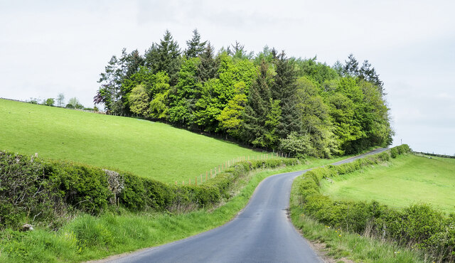
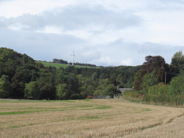
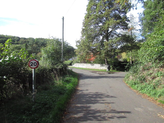
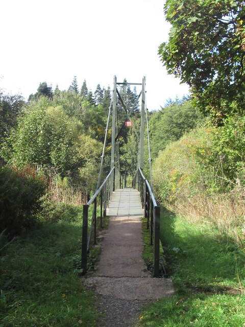
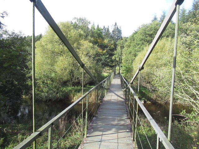
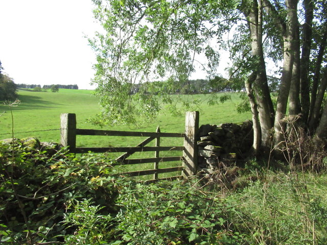
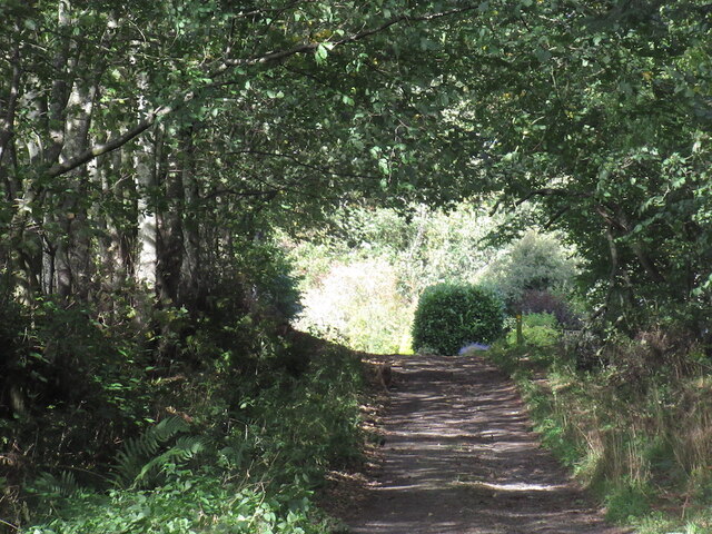
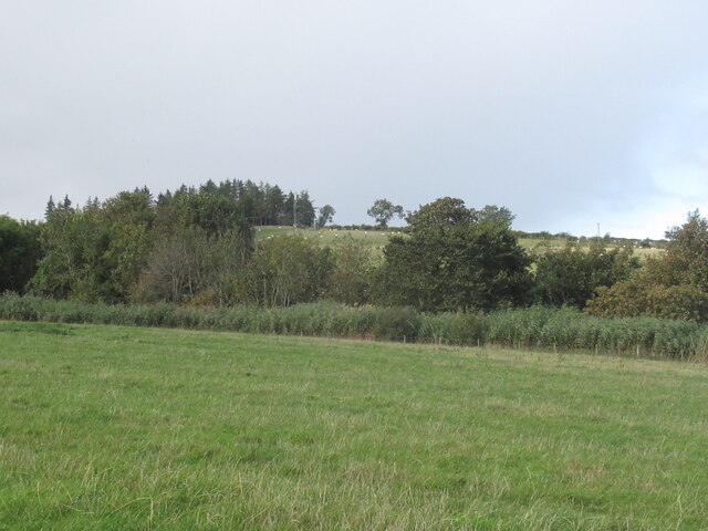
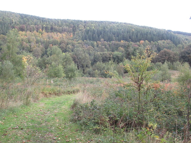
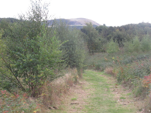
Greenhill Plantation is a picturesque woodland located in Roxburghshire, a historic county in the Scottish Borders region of Scotland. Spanning over a vast area, the plantation is known for its dense and lush greenery, comprising a variety of trees, plants, and wildlife.
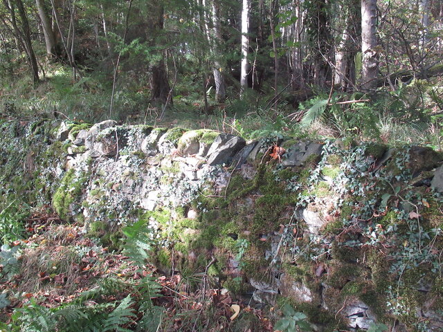
The plantation is predominantly characterized by its extensive coverage of evergreen trees, including majestic Scots pines, oak, and beech trees. These towering trees create a serene and tranquil atmosphere, offering a perfect escape from the hustle and bustle of everyday life. The forest floor is adorned with a carpet of wildflowers, creating a vibrant and colorful display during the spring and summer months.
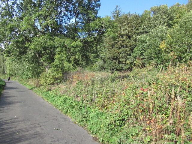
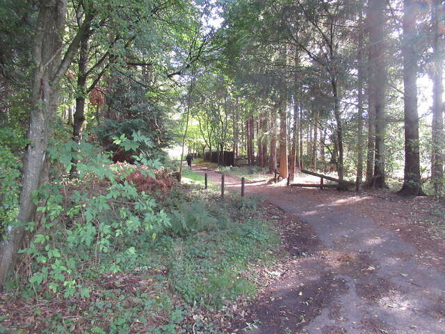
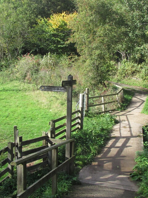
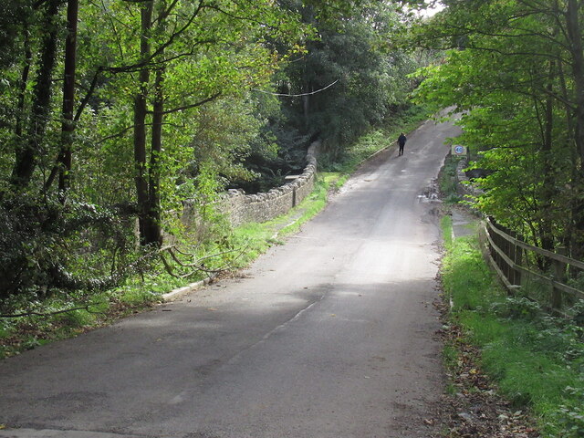
Greenhill Plantation is not only a haven for nature enthusiasts but also a popular destination for outdoor activities. The plantation features well-maintained walking trails that meander through the woods, providing visitors with an opportunity to explore and immerse themselves in the natural beauty of the surroundings. Birdwatchers can delight in the diverse avian species that call the plantation home, including woodpeckers, owls, and various songbirds.
The plantation is also home to a variety of wildlife, including deer, foxes, and badgers. These creatures can often be spotted roaming the forest, adding to the enchanting atmosphere of the plantation.
Greenhill Plantation offers a breath of fresh air, stunning landscapes, and a chance to reconnect with nature. Its natural beauty and serene ambiance make it a must-visit destination for those seeking solace in the mesmerizing woodlands of Roxburghshire.
If you have any feedback on the listing, please let us know in the comments section below.
Greenhill Plantation Images
Images are sourced within 2km of 55.633371/-2.7068389 or Grid Reference NT5537. Thanks to Geograph Open Source API. All images are credited.
Greenhill Plantation is located at Grid Ref: NT5537 (Lat: 55.633371, Lng: -2.7068389)
Unitary Authority: The Scottish Borders
Police Authority: The Lothians and Scottish Borders
What 3 Words
///trembles.daunting.blaze. Near Earlston, Scottish Borders
Nearby Locations
Related Wikis

Rhymer's Tower
Rhymer's Tower, also known as Earlston Castle, is located near the village of Earlston, Scottish Borders, Scotland. The castle was the caput baroniae of...

A6105 road
The A6105 road is an A road in the Scottish Borders, Scotland and Northumberland, England. It runs from the village of Earlston to Berwick on Tweed going...
Earlston
Earlston (Scots: Yerlston; Scottish Gaelic: Dùn Airchill) is a civil parish and market town in the county of Berwickshire, within the Scottish Borders...

Earlston railway station
Earlston railway station, in the Scottish Borders village of Earlston, was a station on the now disused Berwickshire Railway.There were two platforms...

Carolside, Scottish Borders
Carolside is an estate by the Leader Water, in the Scottish Borders. It is located one mile (1.6 km) north of Earlston, in the former county of Berwickshire...

Earlston High School
Earlston High School is a secondary school in Earlston, Scottish Borders. It serves Earlston, as well as the surrounding area. Since 2009, the school has...

Gattonside
Gattonside is a small village in the Scottish Borders. It is located 1 kilometre (0.62 mi) north of Melrose, on the north side of the River Tweed. In 1143...

St Andrew's College, Drygrange
St Andrew's College, Drygrange, located near Melrose, Scotland, was a Roman Catholic seminary founded in 1953 and closed in 1986. == History == === Foundation... ===
Nearby Amenities
Located within 500m of 55.633371,-2.7068389Have you been to Greenhill Plantation?
Leave your review of Greenhill Plantation below (or comments, questions and feedback).