Wellrig Strip

Wood, Forest in Roxburghshire

Scotland

Wellrig Strip

Cairn, Minto Hills A ring of stones at the North top summit.
Cairn, Minto Hills Credit: Richard Webb

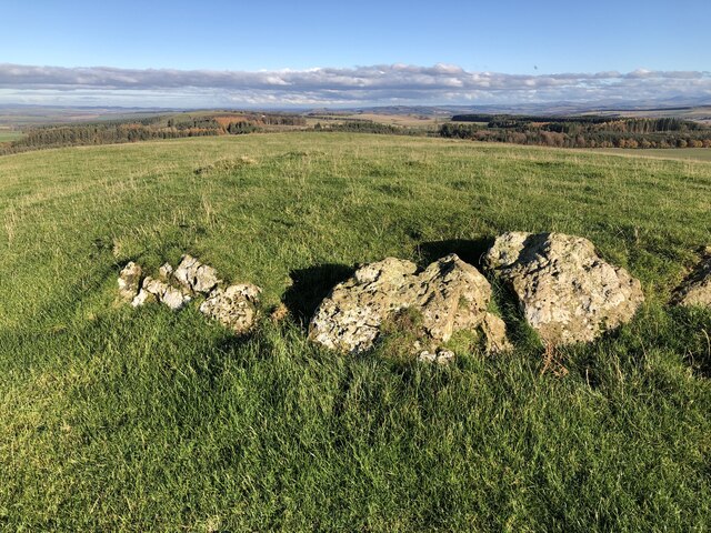
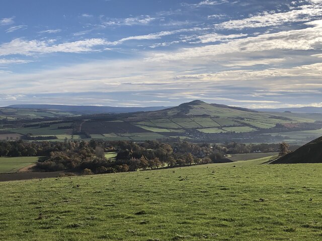
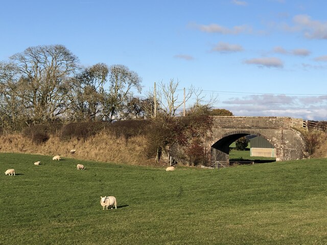
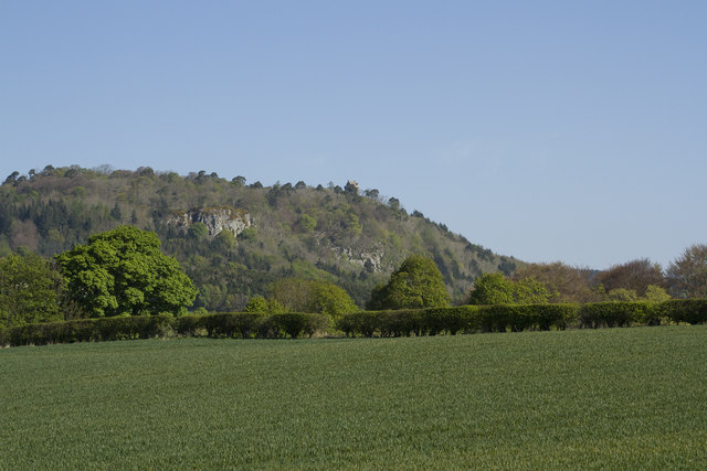
Wellrig Strip is a small but picturesque wood located in Roxburghshire, Scotland. Situated near the town of Hawick, the wood is known for its natural beauty and peaceful surroundings. Covering an area of approximately 25 acres, Wellrig Strip is a popular destination for nature lovers and outdoor enthusiasts.

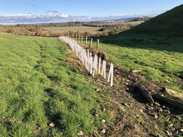
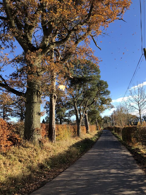
The wood is primarily composed of a mix of deciduous and coniferous trees, creating a diverse and vibrant ecosystem. Visitors can expect to see a variety of tree species, including oak, beech, ash, and Scots pine. The dense foliage provides a habitat for numerous bird species, such as woodpeckers, robins, and thrushes, making it a haven for birdwatchers.

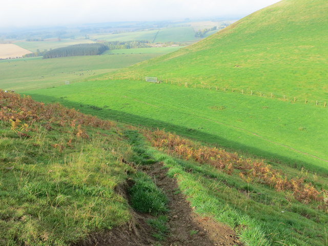
Wellrig Strip offers several well-maintained walking trails, providing visitors with an opportunity to explore the wood's natural wonders. The trails wind through the forest, offering glimpses of charming streams, wildflowers, and occasional wildlife sightings. The wood is also home to a small pond, which adds to the peaceful ambiance and attracts various aquatic creatures.

The wood's accessibility and serene atmosphere make it an ideal spot for relaxation and tranquility. Picnic areas are available for visitors to enjoy a picnic amidst the natural beauty. Additionally, the wood is a favored location for photography enthusiasts, offering ample opportunities for capturing stunning shots of the landscape and its inhabitants.

Overall, Wellrig Strip in Roxburghshire is a delightful wood, perfect for a leisurely stroll, birdwatching, or simply enjoying the serenity of nature. Its scenic beauty and diverse flora and fauna make it a must-visit destination for nature lovers and those seeking a peaceful escape from the bustle of everyday life.

If you have any feedback on the listing, please let us know in the comments section below.

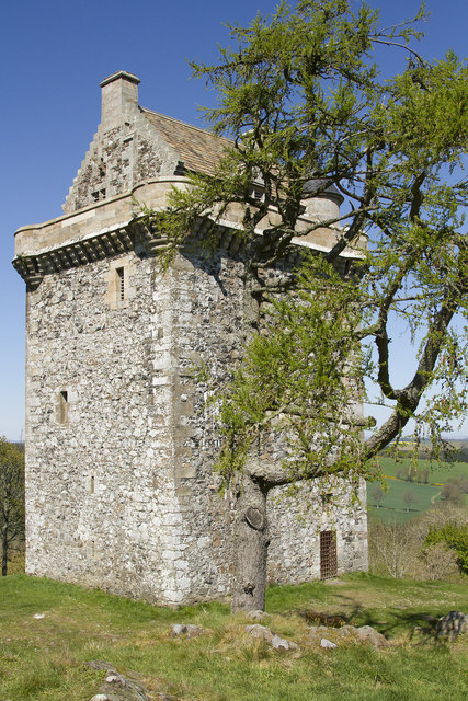
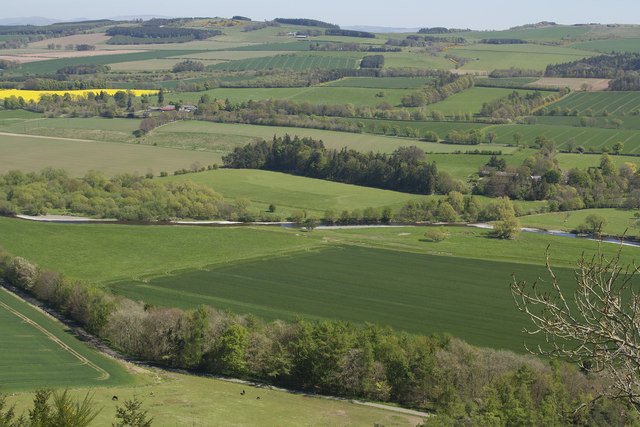
Wellrig Strip Images

Images are sourced within 2km of 55.498526/-2.7050698 or Grid Reference NT5522. Thanks to Geograph Open Source API. All images are credited.

Cairn, Minto Hills A ring of stones at the North top summit.
Cairn, Minto Hills
A ring of stones at the North top summit.
View of Rubers Law from the Minto Hills Teviotdale igneous features.
View of Rubers Law from the Minto Hills
Teviotdale igneous features.
Minto Kames Farm seen from the Minto Hills.
Minto Kames
Farm seen from the Minto Hills.
Hedge planting, Minto Hills The new hedges already planted are backed up with some hefty electric fences but there are gates.
Hedge planting, Minto Hills
The new hedges already planted are backed up with some hefty electric fences but there are gates.
Waverley Line route, Standhill I had hoped it would have reopened by now.  One day!
Waverley Line route, Standhill
I had hoped it would have reopened by now. One day!
Minor road near Netherraw
Minor road near Netherraw It got a bit muddy further on where the Christmas tree traffic was moving.
Minor road near Netherraw
It got a bit muddy further on where the Christmas tree traffic was moving.
Christmas trees, Netherraw
Path descending the flank of Minto Hills Looking north-westward.
Path descending the flank of Minto Hills
Looking north-westward.
Lumber awaiting transportation from Kipps Plantation Looking north-eastward from the road.
Lumber awaiting transportation from Kipps Plantation
Looking north-eastward from the road.
The Minto Hills This view is from the A698. It shows the imposing Peel tower, just, towards the right hand end of the line of hills.
The Minto Hills
This view is from the A698. It shows the imposing Peel tower, just, towards the right hand end of the line of hills.
The Peel Tower on Minto Hill The tower has had a chequered history but was restored a few years ago.  You cannot enter the tower but the climb up to it offers superb views of the surrounding countryside. Normally it is a very muddy walk up but when we went after an April with almost no rain it was completely dry.
The Peel Tower on Minto Hill
The tower has had a chequered history but was restored a few years ago. You cannot enter the tower but the climb up to it offers superb views of the surrounding countryside. Normally it is a very muddy walk up but when we went after an April with almost no rain it was completely dry.
A superb view Standing next to the Peel Tower on Minto Hill gives you a wonderful view to the NE.
A superb view
Standing next to the Peel Tower on Minto Hill gives you a wonderful view to the NE.
Farmland near Lilliesleaf from the air Lilliesleaf is just out of sight to the left.
Farmland near Lilliesleaf from the air
Lilliesleaf is just out of sight to the left.
Frosted grazing fields near Minto Kames This early December view was taken from the minor road between Greenhouse and Newlands.
Frosted grazing fields near Minto Kames
This early December view was taken from the minor road between Greenhouse and Newlands.
Grazing sheep near Minto Kames This was taken on a frosty December morning with the Minto Hills in the background.
Grazing sheep near Minto Kames
This was taken on a frosty December morning with the Minto Hills in the background.
The minor road between Greenhouse and Newlands This was viewed on a frosty December morning.
The minor road between Greenhouse and Newlands
This was viewed on a frosty December morning.
Minor road at Netherraw Looking north-westward.
Minor road at Netherraw
Looking north-westward.
Show me another place!

Wellrig Strip is located at Grid Ref: NT5522 (Lat: 55.498526, Lng: -2.7050698)

Unitary Authority: The Scottish Borders

Police Authority: The Lothians and Scottish Borders

What 3 Words

///meanders.pulse.lived. Near Saint Boswells, Scottish Borders

Related Wikis

Old Belses

Old Belses is a village by the Ale Water, in the Parish of Ancrum, in the Scottish Borders of Scotland, in the historic county of Roxburghshire. Other...

Belses

Belses is a village on the Ale Water, in the Scottish Borders area of Scotland the former Selkirkshire. It is situated close to Old Belses, and lies south...

Hassendean railway station

Hassendean railway station served the village of Hassendean, Scottish Borders, Scotland from 1850 to 1969 on the Waverley Route. == History == The station...

Belses railway station

Belses railway station served the village of Belses, Scottish Borders, Scotland from 1849 to 1969 on the Waverley Route. == History == The station opened...

Nearby Amenities

Located within 500m of 55.498526,-2.7050698
Power: pole
Lat/Long: 55.4985341/-2.6974196
Power: pole
Lat/Long: 55.497907/-2.6979337
Power: pole
Lat/Long: 55.4972957/-2.6984478
Power: pole
Lat/Long: 55.4966657/-2.6989517
Power: pole
Lat/Long: 55.4960573/-2.6994684
Power: pole
Lat/Long: 55.495534/-2.7002395
Power: pole
Lat/Long: 55.4950034/-2.7010209
Power: pole
Lat/Long: 55.4944685/-2.7018022
The data included in this document is from www.openstreetmap.org. The data is made available under ODbL.

Have you been to Wellrig Strip?

Leave your review of Wellrig Strip below (or comments, questions and feedback).