Kames North Loch

Lake, Pool, Pond, Freshwater Marsh in Roxburghshire

Scotland

Kames North Loch

On the Minto Hills Descending the southern Minto Hill with a view to Denholm, the imposing Rubers Law and the distant Cheviot Hills.

This photograph was taken during the Coronavirus (COVID-19) pandemic of 2020/21/22.
On the Minto Hills Credit: James T M Towill

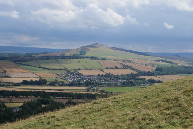
Kames North Loch, located in Roxburghshire, is a picturesque freshwater loch nestled amidst the scenic Scottish Borders region. Spread over an area of approximately 20 hectares, it is a significant natural feature of the landscape. The loch is situated within a gently undulating terrain, surrounded by rolling hills and verdant meadows.

Characterized by its tranquil and idyllic setting, Kames North Loch is a haven for a diverse array of wildlife. The surrounding marshland provides a suitable habitat for numerous species, including waterfowl, waders, and various aquatic plants. The loch serves as a vital feeding and breeding ground for these avian inhabitants, attracting birdwatchers and nature enthusiasts from far and wide.

The water in Kames North Loch is clear and unpolluted, fostering a healthy ecosystem. Its depths vary, with the deepest point measuring around 10 meters. The presence of submerged vegetation and submerged snags adds to the biological diversity of the loch, supporting a thriving underwater community.

The loch is a popular destination for fishing enthusiasts, offering opportunities to catch a variety of freshwater fish species. Anglers can be seen casting their lines from the banks or small boats, relishing the peaceful ambiance and the possibility of landing a prized catch.

Kames North Loch is accessible to the public, with designated paths and viewpoints allowing visitors to appreciate its natural beauty. Its serene atmosphere and abundant wildlife make it an ideal spot for relaxation, birdwatching, and nature photography.

If you have any feedback on the listing, please let us know in the comments section below.

Kames North Loch Images

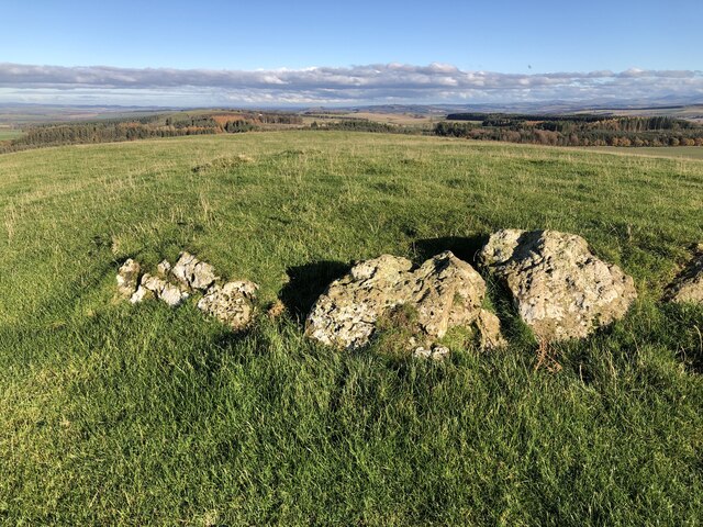
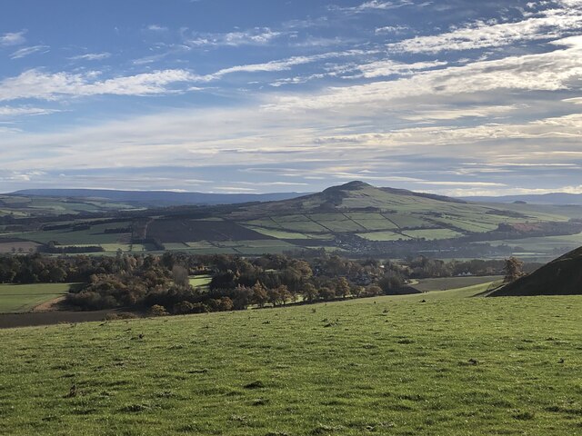
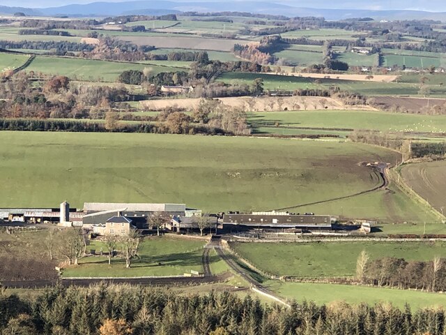
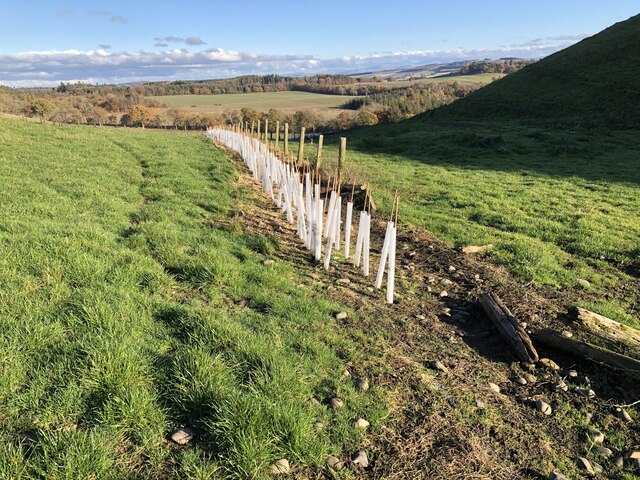
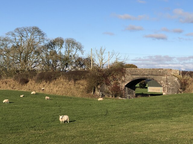
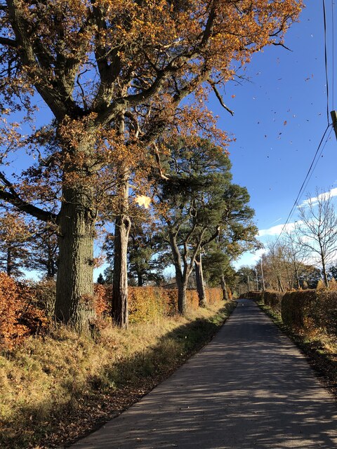
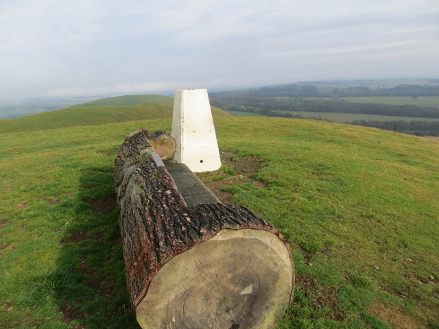
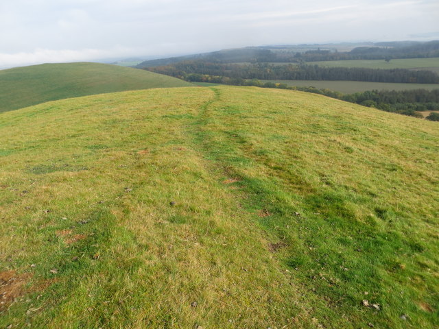
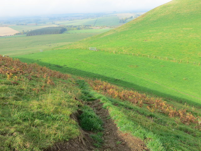
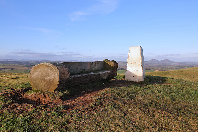
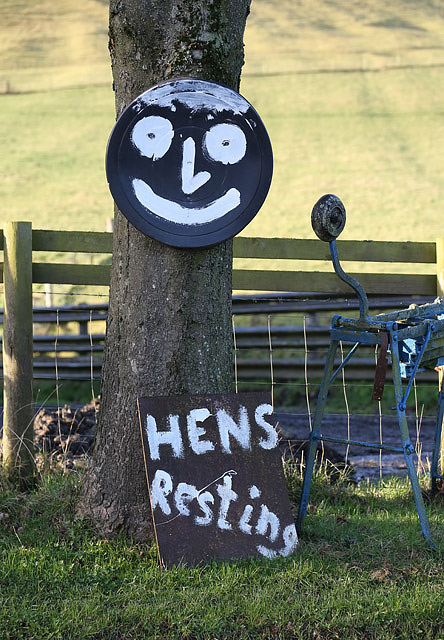
Images are sourced within 2km of 55.493638/-2.7003766 or Grid Reference NT5522. Thanks to Geograph Open Source API. All images are credited.

On the Minto Hills Descending the southern Minto Hill with a view to Denholm, the imposing Rubers Law and the distant Cheviot Hills.

This photograph was taken during the Coronavirus (COVID-19) pandemic of 2020/21/22.
On the Minto Hills
Descending the southern Minto Hill with a view to Denholm, the imposing Rubers Law and the distant Cheviot Hills. This photograph was taken during the Coronavirus (COVID-19) pandemic of 2020/21/22.
Minto Golf Course
Minto Golf Course
Path, Minto Hills A tractor track heads for the col from which either top is easily reached.
Path, Minto Hills
A tractor track heads for the col from which either top is easily reached.
Minto Hills A pair of summits somewhat out of character with their surroundings. Made of rock of a volcanic origin, ash infilling volcanic vents.
Minto Hills
A pair of summits somewhat out of character with their surroundings. Made of rock of a volcanic origin, ash infilling volcanic vents.
Cairn, Minto Hills A ring of stones at the North top summit.
Cairn, Minto Hills
A ring of stones at the North top summit.
View of Rubers Law from the Minto Hills Teviotdale igneous features.
View of Rubers Law from the Minto Hills
Teviotdale igneous features.
Minto Kames Farm seen from the Minto Hills.
Minto Kames
Farm seen from the Minto Hills.
Hedge planting, Minto Hills The new hedges already planted are backed up with some hefty electric fences but there are gates.
Hedge planting, Minto Hills
The new hedges already planted are backed up with some hefty electric fences but there are gates.
Waverley Line route, Standhill I had hoped it would have reopened by now.  One day!
Waverley Line route, Standhill
I had hoped it would have reopened by now. One day!
Minor road near Netherraw
Minor road near Netherraw It got a bit muddy further on where the Christmas tree traffic was moving.
Minor road near Netherraw
It got a bit muddy further on where the Christmas tree traffic was moving.
Christmas trees, Netherraw
A place to sit after climbing to Minto Hill Triangulation Pillar Looking northward.
A place to sit after climbing to Minto Hill Triangulation Pillar
Looking northward.
Path along the ridge of Minto Hill Looking northward.
Path along the ridge of Minto Hill
Looking northward.
Path descending the flank of Minto Hills Looking north-westward.
Path descending the flank of Minto Hills
Looking north-westward.
Lumber awaiting transportation from Kipps Plantation Looking north-eastward from the road.
Lumber awaiting transportation from Kipps Plantation
Looking north-eastward from the road.
Minto Hill trig point A log seat has been placed by the triangulation pillar. A plaque is inscribed:

Happy Memories
Bob Blake
Jackie Graham
Zach Fox
Minto Hill trig point
A log seat has been placed by the triangulation pillar. A plaque is inscribed: Happy Memories Bob Blake Jackie Graham Zach Fox
Hens resting A sign at Burncrooks Farm, Minto, indicating that there are no eggs for sale during the winter months.
Hens resting
A sign at Burncrooks Farm, Minto, indicating that there are no eggs for sale during the winter months.
Show me another place!

Kames North Loch is located at Grid Ref: NT5522 (Lat: 55.493638, Lng: -2.7003766)

Unitary Authority: The Scottish Borders

Police Authority: The Lothians and Scottish Borders

What 3 Words

///margin.sport.cassettes. Near Saint Boswells, Scottish Borders

Related Wikis

Craigmount School

Craigmount School was a private school originally for boys, but for most of its history for girls, in Edinburgh. It opened in 1874 and closed in 1966....

Hassendean railway station

Hassendean railway station served the village of Hassendean, Scottish Borders, Scotland from 1850 to 1969 on the Waverley Route. == History == The station...

Minto, Scottish Borders

Minto is a village and parish in the Scottish Borders area of Scotland in Roxburghshire county. It is located 6 miles (10 kilometres) north-east of Hawick...

Hassendean, Scottish Borders

Hassendean is a hamlet in the Scottish Borders south of Edinburgh, Scotland. The stream is the Hassendean Burn which flows down to the River Teviot 5 miles...

Nearby Amenities

Located within 500m of 55.493638,-2.7003766
Minto Kames
Place: hamlet
Lat/Long: 55.4916997/-2.705848
Power: pole
Lat/Long: 55.497907/-2.6979337
Power: pole
Lat/Long: 55.4972957/-2.6984478
Power: pole
Lat/Long: 55.4966657/-2.6989517
Power: pole
Lat/Long: 55.4960573/-2.6994684
Power: pole
Lat/Long: 55.495534/-2.7002395
Power: pole
Lat/Long: 55.4950034/-2.7010209
Power: pole
Lat/Long: 55.4944685/-2.7018022
Power: pole
Lat/Long: 55.4939308/-2.7026065
Power: pole
Lat/Long: 55.4933944/-2.7034056
Power: pole
Lat/Long: 55.4928436/-2.7042379
Power: pole
Lat/Long: 55.4923289/-2.7051006
Power: pole
Lat/Long: 55.4923635/-2.7059303
Power: pole
Lat/Long: 55.4920333/-2.7065386
Power: pole
Lat/Long: 55.4917493/-2.707068
The data included in this document is from www.openstreetmap.org. The data is made available under ODbL.

Have you been to Kames North Loch?

Leave your review of Kames North Loch below (or comments, questions and feedback).