Nelson's Plantation

Wood, Forest in Roxburghshire

Scotland

Nelson's Plantation

Ruberslaw Parish Church, Minto Minto was a planned village, designed and laid out by William Playfair for the 2nd Earl of Minto. The Church – a Victorian building in the Gothic style – was built as part of the plan and was completed in 1831, replacing a much earlier mediaeval building which stood a short distance to the east and which was recorded as far back as 1275.
Ruberslaw Parish Church, Minto Credit: Colin Kinnear

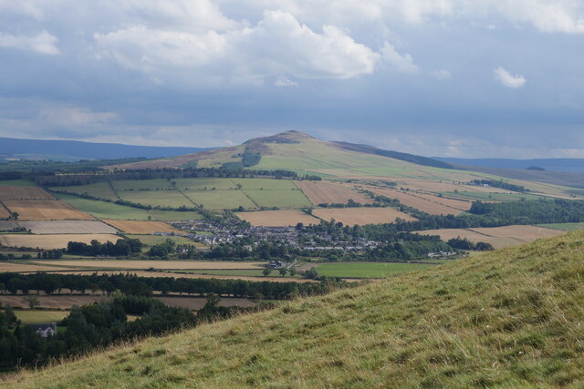
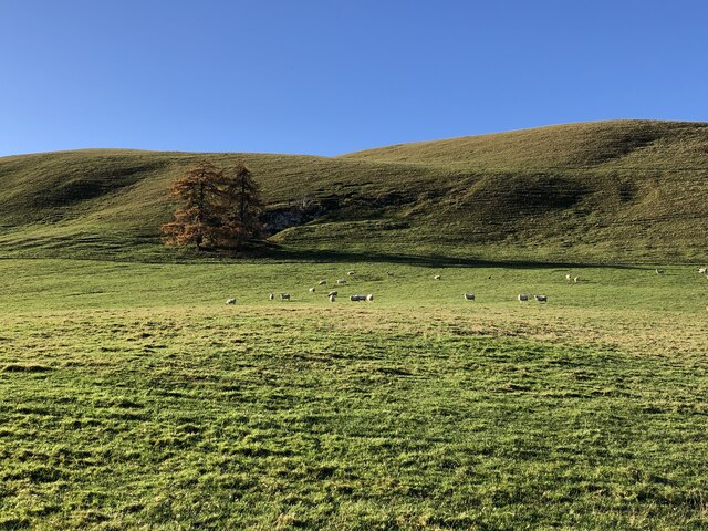
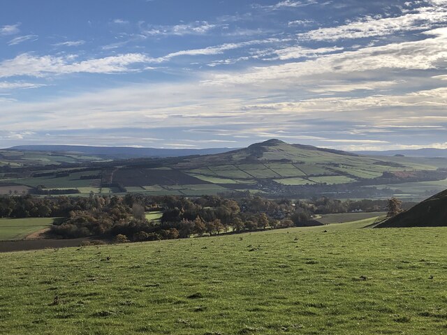
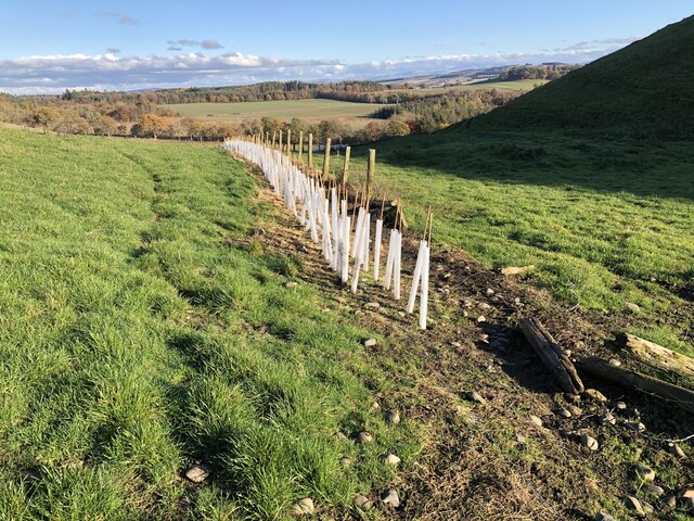
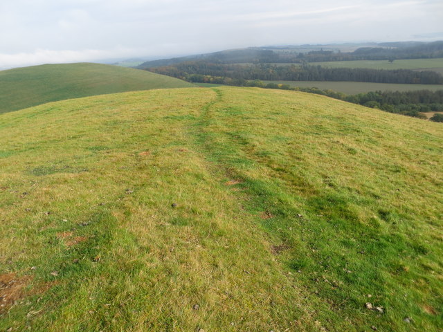
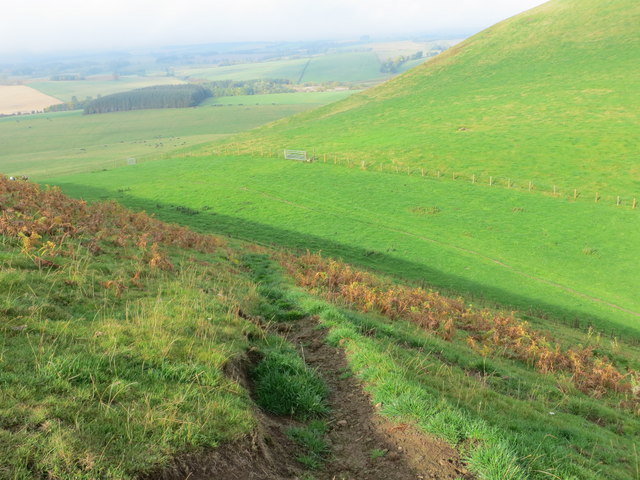
Nelson's Plantation is a historic woodland located in Roxburghshire, Scotland. Covering an area of approximately 100 acres, the plantation is known for its diverse range of trees and plants, including oak, beech, and pine. The woodland is situated on a hillside, offering stunning views of the surrounding countryside.

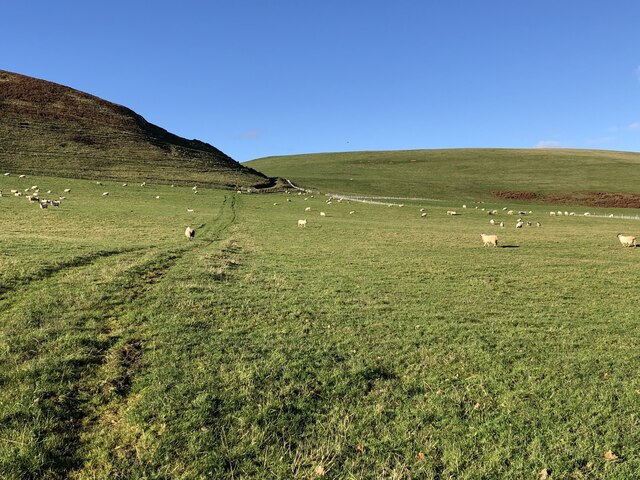
Originally established in the 18th century as a commercial forestry plantation, Nelson's Plantation has since been managed for conservation and recreation purposes. The woodland is home to a variety of wildlife, including deer, squirrels, and birds, making it a popular destination for nature enthusiasts and birdwatchers.

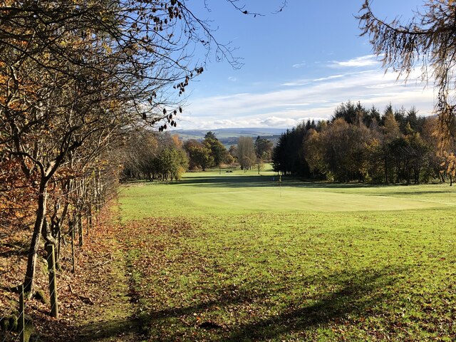
Visitors to Nelson's Plantation can explore a network of walking trails that wind through the woodland, providing opportunities to admire the ancient trees and peaceful surroundings. The plantation also features a picnic area and a small stream, creating a tranquil setting for visitors to relax and enjoy the natural beauty of the area.

Overall, Nelson's Plantation offers a unique and enchanting experience for those looking to immerse themselves in the beauty of Scotland's woodlands.

If you have any feedback on the listing, please let us know in the comments section below.

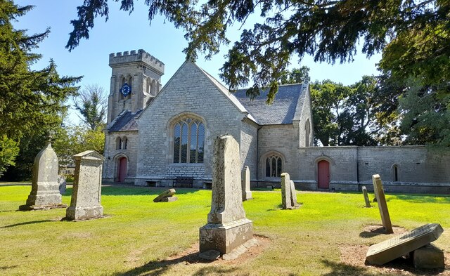
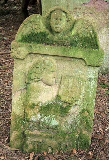
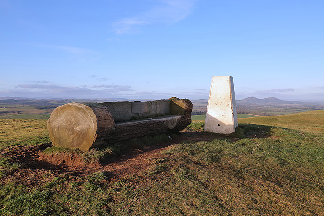
Nelson's Plantation Images

Images are sourced within 2km of 55.474149/-2.7047768 or Grid Reference NT5520. Thanks to Geograph Open Source API. All images are credited.

Ruberslaw Parish Church, Minto Minto was a planned village, designed and laid out by William Playfair for the 2nd Earl of Minto. The Church – a Victorian building in the Gothic style – was built as part of the plan and was completed in 1831, replacing a much earlier mediaeval building which stood a short distance to the east and which was recorded as far back as 1275.
Ruberslaw Parish Church, Minto
Minto was a planned village, designed and laid out by William Playfair for the 2nd Earl of Minto. The Church – a Victorian building in the Gothic style – was built as part of the plan and was completed in 1831, replacing a much earlier mediaeval building which stood a short distance to the east and which was recorded as far back as 1275.
On the Minto Hills Descending the southern Minto Hill with a view to Denholm, the imposing Rubers Law and the distant Cheviot Hills.

This photograph was taken during the Coronavirus (COVID-19) pandemic of 2020/21/22.
On the Minto Hills
Descending the southern Minto Hill with a view to Denholm, the imposing Rubers Law and the distant Cheviot Hills. This photograph was taken during the Coronavirus (COVID-19) pandemic of 2020/21/22.
Minto Golf Course
Minto Golf Course
Path, Minto Hills A tractor track heads for the col from which either top is easily reached.
Path, Minto Hills
A tractor track heads for the col from which either top is easily reached.
Minto Hills A pair of summits somewhat out of character with their surroundings. Made of rock of a volcanic origin, ash infilling volcanic vents.
Minto Hills
A pair of summits somewhat out of character with their surroundings. Made of rock of a volcanic origin, ash infilling volcanic vents.
Cairn, Minto Hills A ring of stones at the North top summit.
Cairn, Minto Hills
A ring of stones at the North top summit.
View of Rubers Law from the Minto Hills Teviotdale igneous features.
View of Rubers Law from the Minto Hills
Teviotdale igneous features.
Minto Kames Farm seen from the Minto Hills.
Minto Kames
Farm seen from the Minto Hills.
Hedge planting, Minto Hills The new hedges already planted are backed up with some hefty electric fences but there are gates.
Hedge planting, Minto Hills
The new hedges already planted are backed up with some hefty electric fences but there are gates.
Ordnance Survey Cut Mark with Bolt This can be found on the wall of Minto Parish Church.
For more detail see: <span class="nowrap"><a title="http://www.bench-marks.org.uk/bm72134" rel="nofollow ugc noopener" href="http://www.bench-marks.org.uk/bm72134">Link</a><img style="margin-left:2px;" alt="External link" title="External link - shift click to open in new window" src="https://s1.geograph.org.uk/img/external.png" width="10" height="10"/></span>
Ordnance Survey Cut Mark with Bolt
This can be found on the wall of Minto Parish Church. For more detail see: LinkExternal link
Minto Parish Church Looking from the north-east.
Minto Parish Church
Looking from the north-east.
A place to sit after climbing to Minto Hill Triangulation Pillar Looking northward.
A place to sit after climbing to Minto Hill Triangulation Pillar
Looking northward.
Path along the ridge of Minto Hill Looking northward.
Path along the ridge of Minto Hill
Looking northward.
Path descending the flank of Minto Hills Looking north-westward.
Path descending the flank of Minto Hills
Looking north-westward.
Ordnance Survey Cut Mark This can be found on the wall of a former railway bridge in Hassendan.
For more detail see : <span class="nowrap"><a title="http://www.bench-marks.org.uk/bm72357" rel="nofollow ugc noopener" href="http://www.bench-marks.org.uk/bm72357">Link</a><img style="margin-left:2px;" alt="External link" title="External link - shift click to open in new window" src="https://s1.geograph.org.uk/img/external.png" width="10" height="10"/></span>
Ordnance Survey Cut Mark
This can be found on the wall of a former railway bridge in Hassendan. For more detail see : LinkExternal link
Road (B6405) and former railway bridge at Hassendean Looking westward.
Road (B6405) and former railway bridge at Hassendean
Looking westward.
A symbolic gravestone at the site of the former Minto Old Parish Church This Memento Mori (remember you must die) portrait stone shows the deceased holding a book which denotes religious devotion. A winged soul above is a symbol of immortality representing the human soul rising to await Judgement Day, while the hammer, tongs and horseshoe below indicates that this is the grave of a blacksmith. Minto Old Parish Church was demolished in 1831, the same year that the present church was built. The stone is in a small group by an ancient yew tree <a href="https://www.geograph.org.uk/photo/766382">NT5720 : Old headstones at Minto</a>.
A symbolic gravestone at the site of the former Minto Old Parish Church
This Memento Mori (remember you must die) portrait stone shows the deceased holding a book which denotes religious devotion. A winged soul above is a symbol of immortality representing the human soul rising to await Judgement Day, while the hammer, tongs and horseshoe below indicates that this is the grave of a blacksmith. Minto Old Parish Church was demolished in 1831, the same year that the present church was built. The stone is in a small group by an ancient yew tree NT5720 : Old headstones at Minto.
Minto Hill trig point A log seat has been placed by the triangulation pillar. A plaque is inscribed:

Happy Memories
Bob Blake
Jackie Graham
Zach Fox
Minto Hill trig point
A log seat has been placed by the triangulation pillar. A plaque is inscribed: Happy Memories Bob Blake Jackie Graham Zach Fox
Show me another place!

Nelson's Plantation is located at Grid Ref: NT5520 (Lat: 55.474149, Lng: -2.7047768)

Unitary Authority: The Scottish Borders

Police Authority: The Lothians and Scottish Borders

What 3 Words

///dodging.baked.dummy. Near Hawick, Scottish Borders

Related Wikis

Hassendean railway station

Hassendean railway station served the village of Hassendean, Scottish Borders, Scotland from 1850 to 1969 on the Waverley Route. == History == The station...

Hassendean, Scottish Borders

Hassendean is a hamlet in the Scottish Borders south of Edinburgh, Scotland. The stream is the Hassendean Burn which flows down to the River Teviot 5 miles...

Minto, Scottish Borders

Minto is a village and parish in the Scottish Borders area of Scotland in Roxburghshire county. It is located 6 miles (10 kilometres) north-east of Hawick...

Craigmount School

Craigmount School was a private school originally for boys, but for most of its history for girls, in Edinburgh. It opened in 1874 and closed in 1966....

Nearby Amenities

Located within 500m of 55.474149,-2.7047768
Give Way
Direction: backward
Lat/Long: 55.474919/-2.7116421
The data included in this document is from www.openstreetmap.org. The data is made available under ODbL.

Have you been to Nelson's Plantation?

Leave your review of Nelson's Plantation below (or comments, questions and feedback).