Highcross Plantation
Wood, Forest in Berwickshire
Scotland
Highcross Plantation

Highcross Plantation is a picturesque woodland located in the rural area of Berwickshire, Scotland. Spanning over a vast area, the plantation is renowned for its lush greenery and diverse flora and fauna. It serves as a serene retreat for nature enthusiasts and offers a tranquil escape from the hustle and bustle of city life.
The plantation is predominantly covered with a mix of deciduous and coniferous trees, creating a harmonious blend of colors throughout the year. The towering oak trees, silver birches, and majestic pines provide a stunning backdrop, especially during the autumn season when the leaves change to vibrant hues of red, orange, and yellow.
The forest floor boasts a rich carpet of mosses, ferns, and wildflowers, creating a mesmerizing tapestry of colors and textures. It is a haven for wildlife, with an abundance of bird species, including woodpeckers, owls, and thrushes. Squirrels can often be spotted darting through the trees, and if lucky, visitors may catch a glimpse of roe deer grazing in the quieter areas of the plantation.
Highcross Plantation offers a range of activities for visitors to enjoy. There are well-maintained walking trails that meander through the woodland, allowing visitors to immerse themselves in the natural beauty of the surroundings. It is also a popular spot for picnics and family outings, with designated areas equipped with benches and picnic tables.
Overall, Highcross Plantation in Berwickshire is a true gem for nature lovers, offering a harmonious blend of breathtaking scenery, diverse wildlife, and recreational opportunities for visitors of all ages.
If you have any feedback on the listing, please let us know in the comments section below.
Highcross Plantation Images
Images are sourced within 2km of 55.718323/-2.7092324 or Grid Reference NT5547. Thanks to Geograph Open Source API. All images are credited.


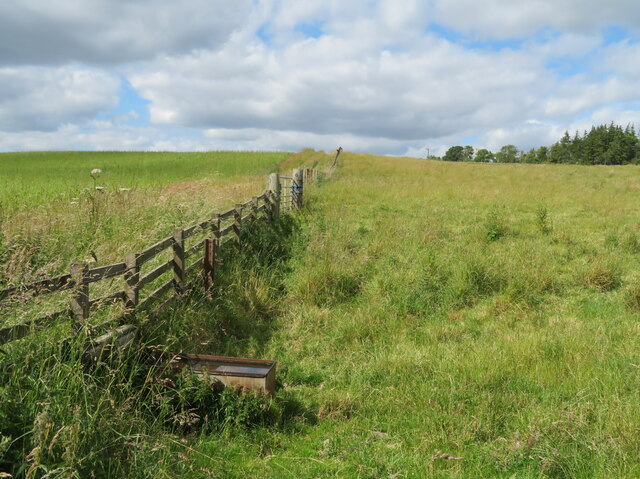
![Wheat near Lauder Bridge A small field [4.7 ha], surrounded on all sides by trees.](https://s0.geograph.org.uk/geophotos/07/22/10/7221036_2811fef0.jpg)
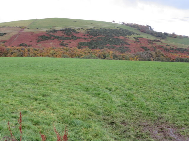
![Wheat near Lauder Bridge A small field [4.7 ha], surrounded on all sides by trees.](https://s2.geograph.org.uk/geophotos/07/22/10/7221038_fec2d544.jpg)

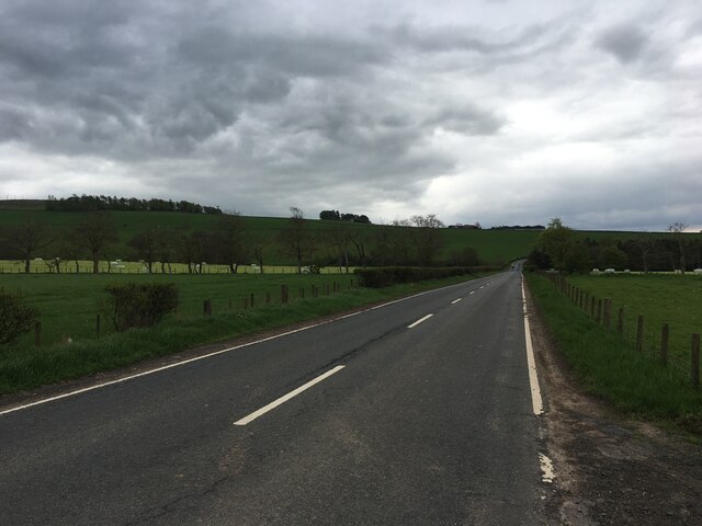
![Road junction at High Cross The B6362 from Lauder and Thirlstane meets the main Carfraemill-Morpeth [A697] cross-border road.](https://s2.geograph.org.uk/geophotos/07/22/10/7221046_16efc9b5.jpg)


Highcross Plantation is located at Grid Ref: NT5547 (Lat: 55.718323, Lng: -2.7092324)
Unitary Authority: The Scottish Borders
Police Authority: The Lothians and Scottish Borders
What 3 Words
///husky.protected.conveying. Near Lauder, Scottish Borders
Nearby Locations
Related Wikis

Thirlestane Castle
Thirlestane Castle is a castle set in extensive parklands near Lauder in the Borders of Scotland. The site is aptly named Castle Hill, as it stands upon...

Lauder Town Hall
Lauder Town Hall is a municipal structure in the Market Place in Lauder, Scottish Borders, Scotland. The structure, which is used as the local registrar...

Lauder
The former Royal Burgh of Lauder (, Scottish Gaelic: Labhdar) is a town in the Scottish Borders in the historic county of Berwickshire. On the Southern...

Boon Farm
Boon is a farm and former barony located near Lauder, Scotland. == History == === Name origins === Boon (aka "Boune" or "Bounn"), derives from the Breton...

Lauderdale
Lauderdale is the valley of the Leader Water (a tributary of the Tweed) in the Scottish Borders. It contains the town of Lauder, as well as Earlston. The...

Whitslaid Tower
Whitslaid Tower was an ancient Berwickshire seat of the Lauder family for over 300 years. It is today a ruin high above the eastern bank of the Leader...

Lauder railway station
Lauder railway station served the town of Lauder, Berwickshire, Scotland, from 1901 to 1958. It was situated on the Lauder Light Railway. == History... ==

Legerwood
Legerwood is a village by the Eden Water, in the Scottish Borders area of Scotland, near Lauder, near the Southern Upland Way. Legerwood Kirk is outside...
Nearby Amenities
Located within 500m of 55.718323,-2.7092324Have you been to Highcross Plantation?
Leave your review of Highcross Plantation below (or comments, questions and feedback).