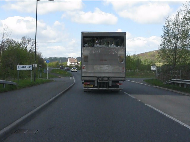
Chadbury
Settlement in Worcestershire Wychavon
England
Chadbury
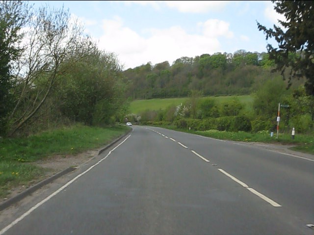
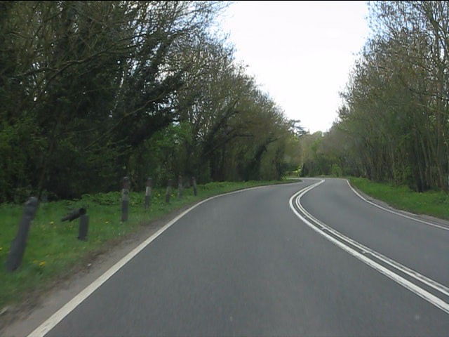
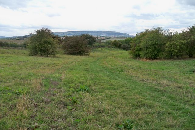
Chadbury is a small village located in the county of Worcestershire, England. Situated approximately 4 miles south-east of Evesham, Chadbury is a picturesque settlement nestled in the Vale of Evesham. The village is surrounded by rolling hills and farmland, providing a serene and idyllic setting.
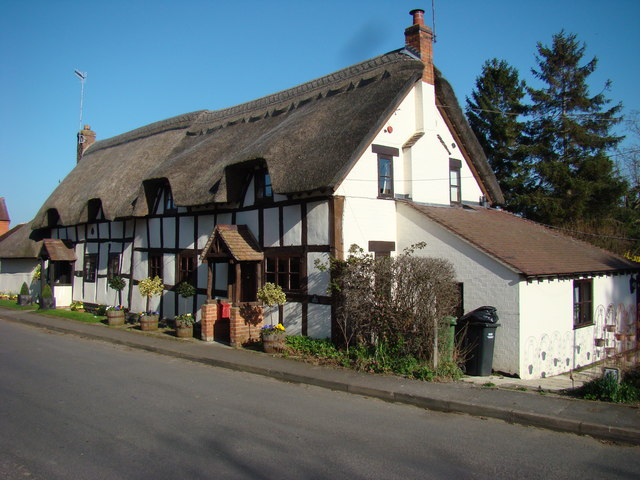
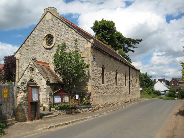
Chadbury is home to a close-knit community, with a population of around 400 residents. The village consists mainly of traditional stone-built cottages, giving it a charming and timeless feel. St. Nicholas Church, a prominent feature in Chadbury, dates back to the 12th century and adds to the village's historic character.
The village boasts a range of amenities, including a local pub, The Queen's Head, which offers a warm and welcoming atmosphere. Chadbury also has a small village hall, which serves as a meeting place for various community events and activities.
The surrounding countryside offers ample opportunities for outdoor pursuits, with numerous walking and cycling routes available. The nearby River Avon provides a scenic backdrop for leisurely strolls and is a popular spot for fishing enthusiasts.
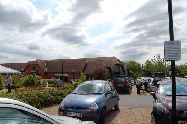
Chadbury's location provides easy access to nearby towns and cities. The bustling market town of Evesham is just a short drive away, offering a wider range of shops, restaurants, and amenities. The city of Worcester is also within reach, providing further options for shopping, cultural attractions, and entertainment.
In summary, Chadbury is a tranquil and picturesque village in Worcestershire, offering a peaceful lifestyle, beautiful surroundings, and a close-knit community.
If you have any feedback on the listing, please let us know in the comments section below.
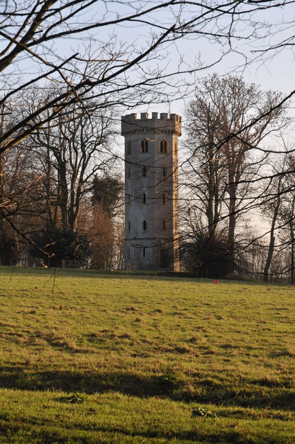
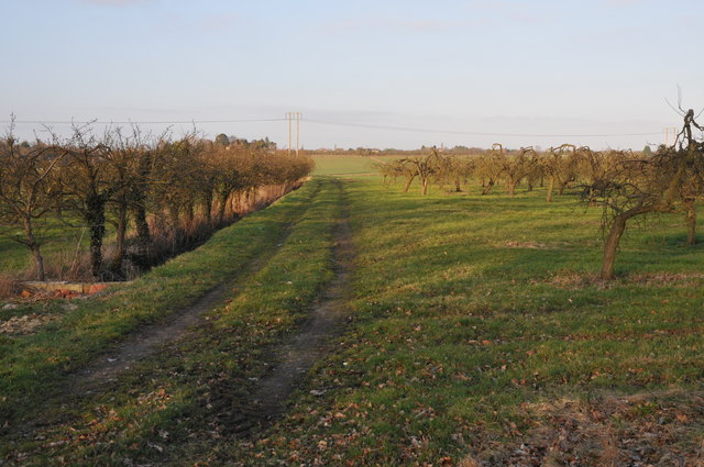
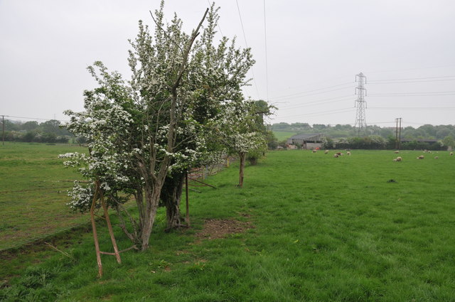
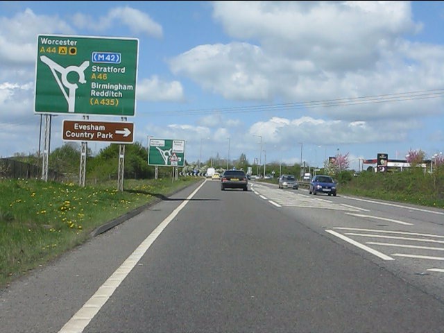
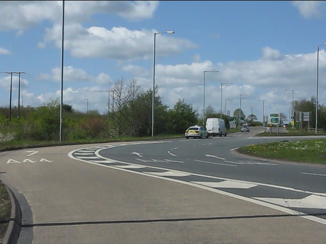
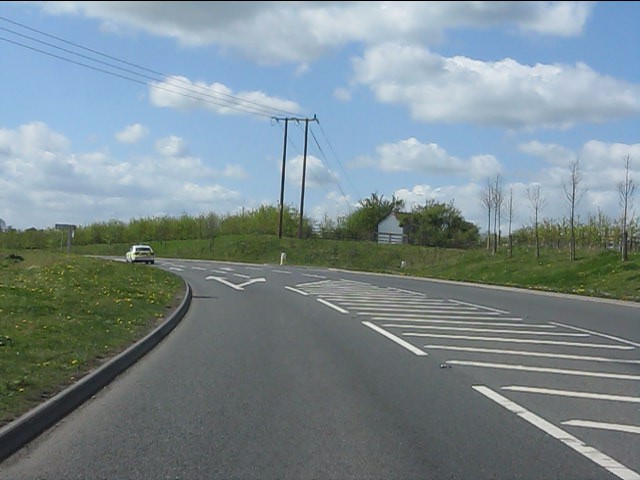
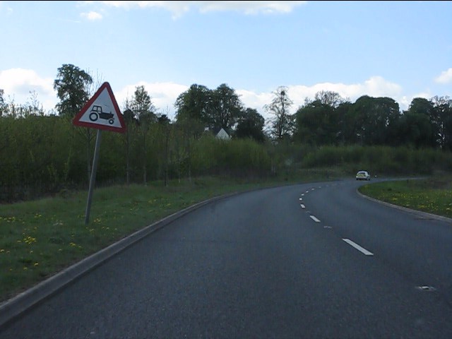
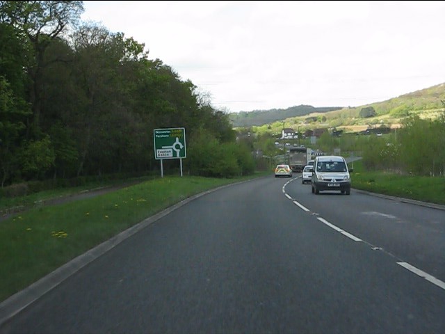
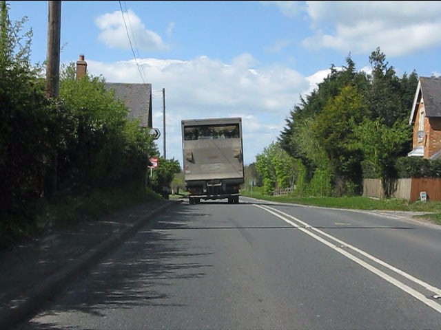
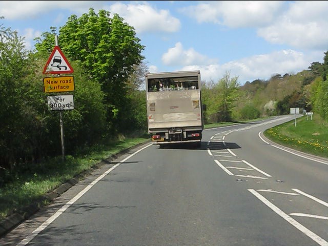
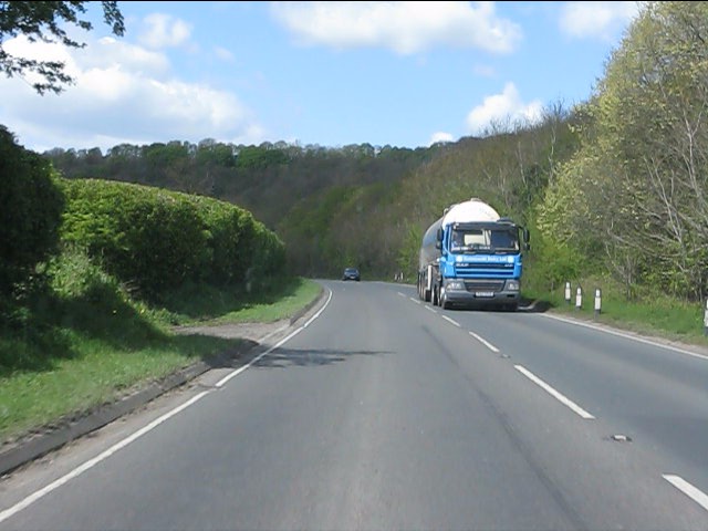
Chadbury Images
Images are sourced within 2km of 52.116778/-1.967838 or Grid Reference SP0246. Thanks to Geograph Open Source API. All images are credited.
Chadbury is located at Grid Ref: SP0246 (Lat: 52.116778, Lng: -1.967838)
Administrative County: Worcestershire
District: Wychavon
Police Authority: West Mercia
What 3 Words
///graphic.caller.formless. Near Evesham, Worcestershire
Nearby Locations
Related Wikis
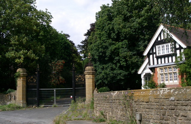
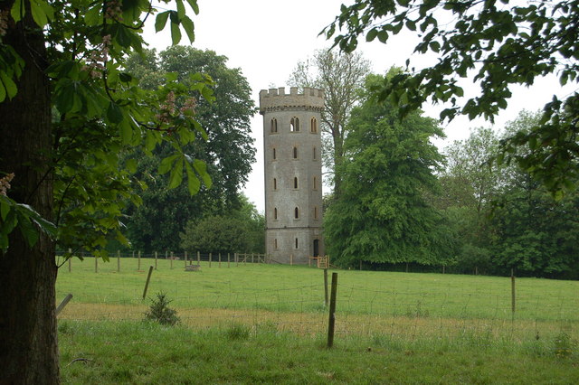
Wood Norton Hall
Wood Norton Hall is a Grade II* listed Victorian stately home to the northwest of Evesham, Worcestershire, England. It was the last home in England of...
Charlton, Worcestershire
Charlton is a village in the Wychavon district of the county of Worcestershire, England. During the 2007 United Kingdom floods, many homes were affected...

Norton and Lenchwick
Norton and Lenchwick is a civil parish in the Wychavon district, in the county of Worcestershire, England. The parish population in 2021 was 1,056. The...

Battle of Evesham
The Battle of Evesham (4 August 1265) was one of the two main battles of 13th century England's Second Barons' War. It marked the defeat of Simon de Montfort...
Nearby Amenities
Located within 500m of 52.116778,-1.967838Have you been to Chadbury?
Leave your review of Chadbury below (or comments, questions and feedback).