Chad Valley
Settlement in Warwickshire
England
Chad Valley
Chad Valley is a small village located in the county of Warwickshire, England. Situated approximately 3 miles southeast of the historic town of Leamington Spa, Chad Valley is a rural community surrounded by picturesque countryside.
The village is known for its tranquil atmosphere and scenic beauty, making it an ideal retreat for those seeking a peaceful getaway. The area is characterized by rolling hills, meandering streams, and lush green fields, providing ample opportunities for outdoor activities such as walking, cycling, and horseback riding.
Chad Valley is home to a close-knit community of residents who take pride in their village. The village is adorned with charming thatched-roof cottages and traditional brick houses, adding to its idyllic charm. Despite its small size, Chad Valley has a strong sense of community spirit, with regular social events and gatherings organized by local residents.
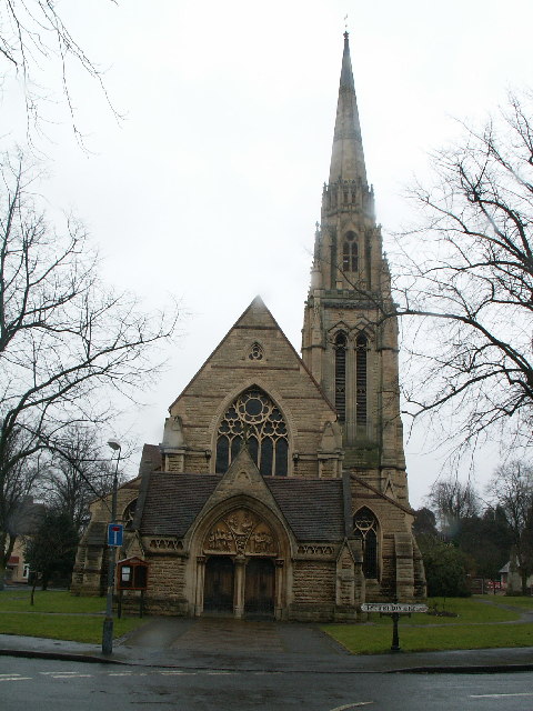
One of the notable landmarks in Chad Valley is the St. Mary's Church, a beautiful medieval church dating back to the 12th century. The church serves as a focal point for the community and offers a serene place for worship and reflection.
Although Chad Valley is primarily a residential area, it benefits from its proximity to Leamington Spa, which provides a range of amenities including shops, restaurants, and leisure facilities. The village also enjoys convenient transport links, with easy access to major road networks and nearby railway stations.
Overall, Chad Valley offers a peaceful and picturesque setting for residents and visitors alike, with its charming village atmosphere and stunning natural surroundings.
If you have any feedback on the listing, please let us know in the comments section below.
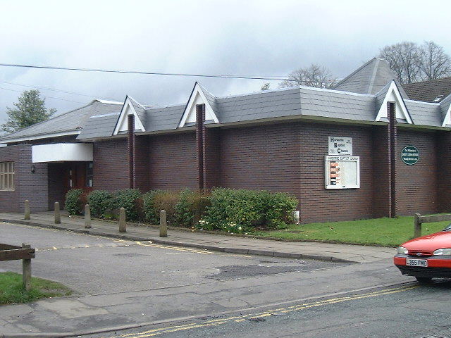
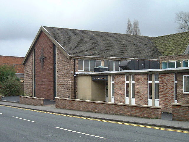
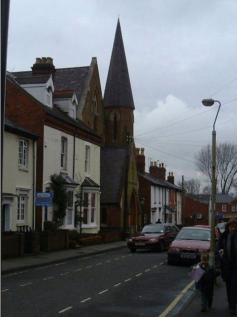
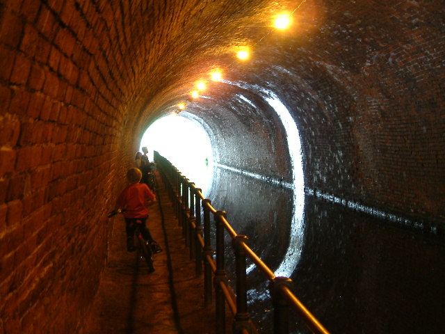
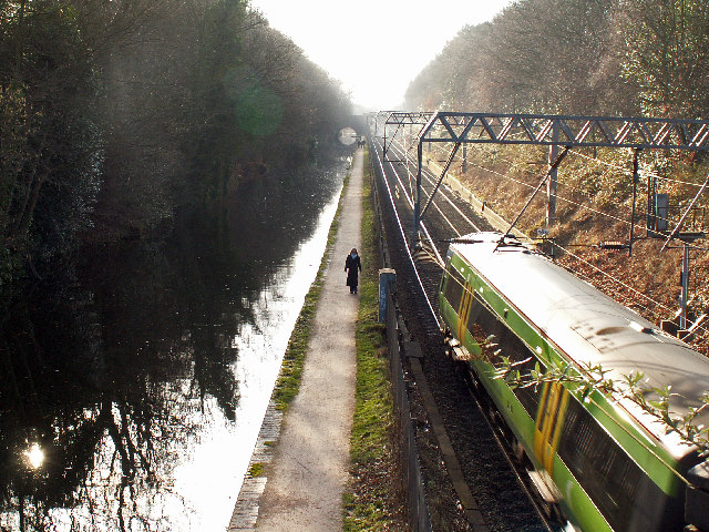
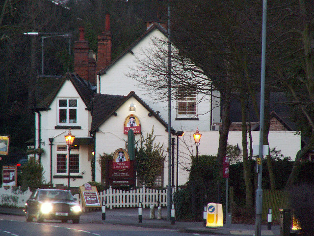
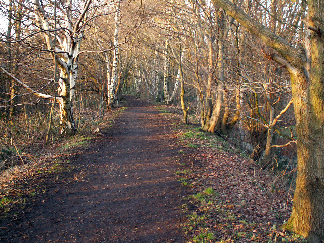
Chad Valley Images
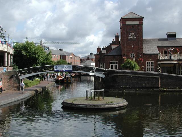
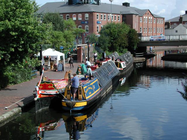
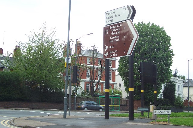
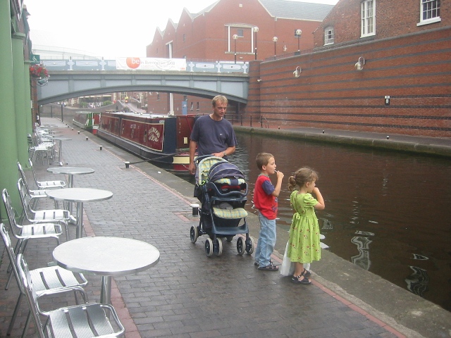
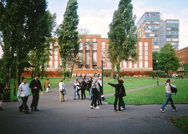
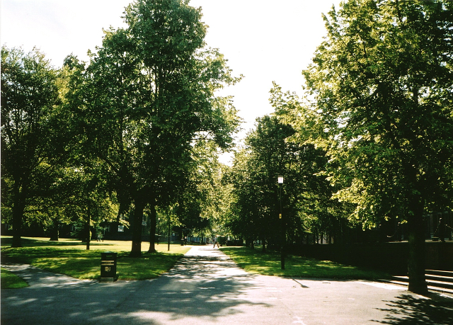
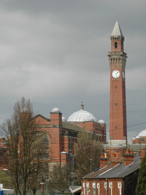
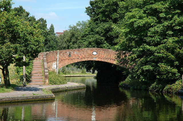
Images are sourced within 2km of 52.465682/-1.932846 or Grid Reference SP0485. Thanks to Geograph Open Source API. All images are credited.

Chad Valley is located at Grid Ref: SP0485 (Lat: 52.465682, Lng: -1.932846)
Unitary Authority: Birmingham
Police Authority: West Midlands
What 3 Words
///calculating.bars.mount. Near Birmingham, West Midlands
Nearby Locations
Related Wikis
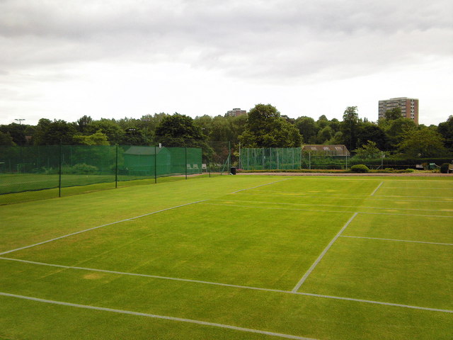
Edgbaston Archery and Lawn Tennis Society
Edgbaston Archery and Lawn Tennis Society, informally known as The Archery and based in the Edgbaston area of Birmingham, England, is the oldest lawn tennis...
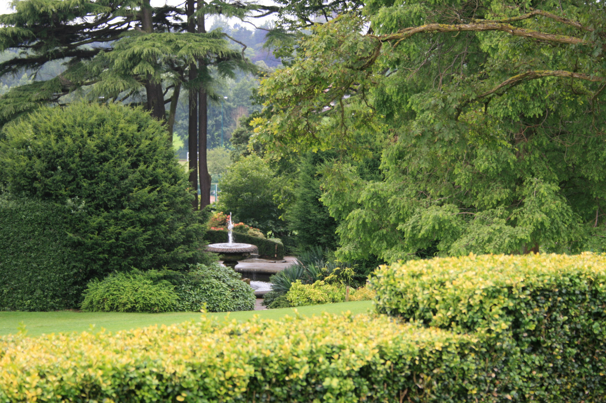
Birmingham Botanical Gardens, England
The Birmingham Botanical Gardens are a 15-acre (6-hectare) botanical garden situated in Edgbaston, Birmingham, England. The gardens are located 1+1⁄2 miles...

Chad Valley, Birmingham
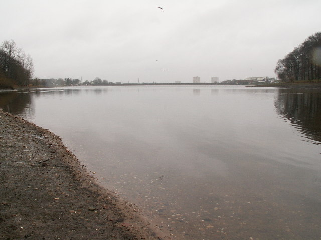
Chad Valley is a small area of Birmingham, England, located between Harborne and Edgbaston. It contains a fish pond and the Chad Vale Primary School. It...

Westbourne Road Town Gardens
Westbourne Road Town Gardens, or Westbourne Road Leisure Gardens, is a group of allotments in Edgbaston, Birmingham, England, created in 1844. It is listed...
Nearby Amenities
Located within 500m of 52.465682,-1.932846Have you been to Chad Valley?
Leave your review of Chad Valley below (or comments, questions and feedback).