Longlee Plantation

Wood, Forest in Roxburghshire

Scotland

Longlee Plantation

Winter farmland near Bowden This early morning view with a touch of frost on the ground was taken from the B6359.
Winter farmland near Bowden Credit: Walter Baxter

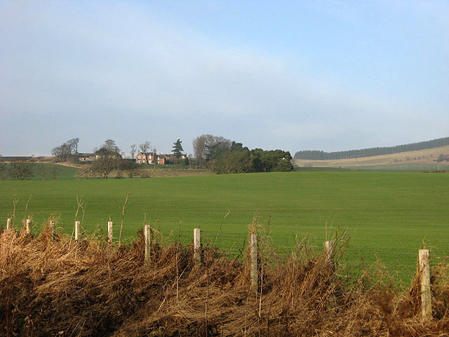
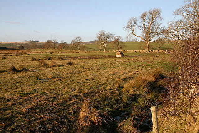
Longlee Plantation is a picturesque woodland located in Roxburghshire, a historic county in the southern part of Scotland. Spanning over a vast area, the plantation is known for its rich biodiversity and stunning natural beauty.

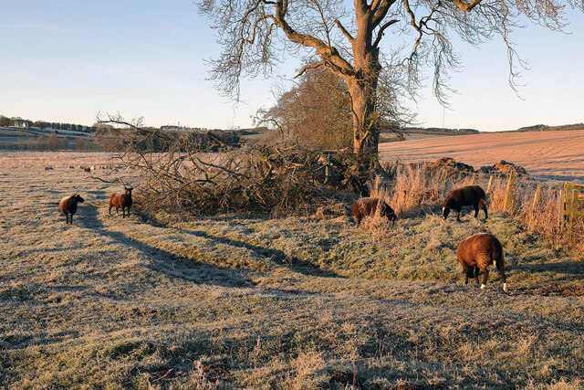
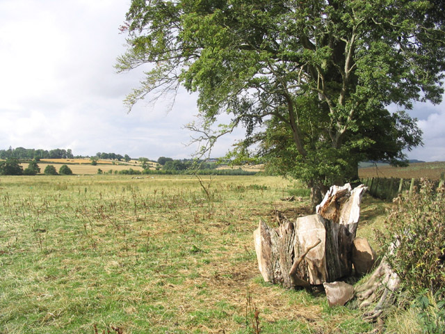
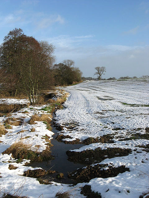
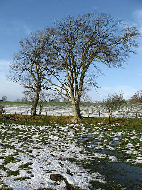
The woodland is predominantly composed of tall and majestic trees, including pine, oak, and birch. These trees provide a dense canopy, creating a serene and tranquil atmosphere within the plantation. Longlee Plantation is a haven for wildlife, with numerous species of birds, mammals, and insects calling it their home. Visitors often have the opportunity to spot red squirrels, woodpeckers, and various species of deer roaming freely in the woodland.

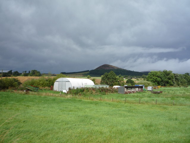
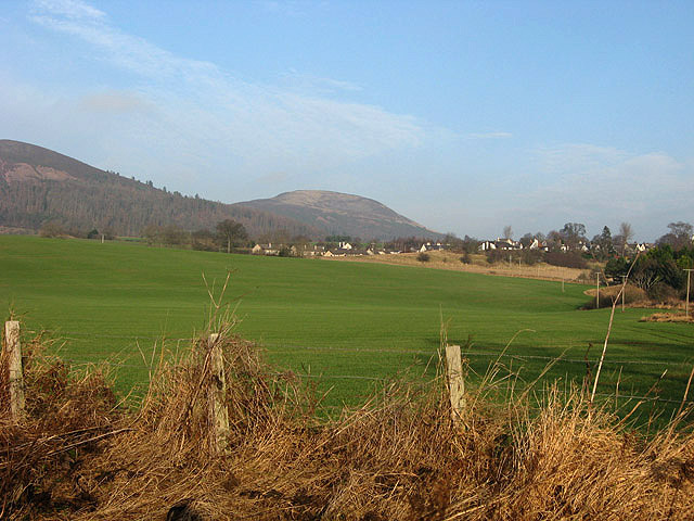
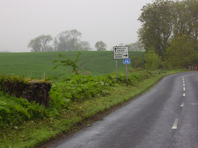
The plantation offers several well-maintained walking trails, allowing visitors to explore the beauty of the forest at their own pace. These trails wind through the woodland, offering breathtaking views of the surrounding landscapes, including rolling hills and meandering streams. Nature enthusiasts and photographers are particularly drawn to Longlee Plantation for its captivating scenery and unique flora and fauna.

The plantation is managed by a dedicated team of conservationists who work tirelessly to preserve its natural ecosystem. They actively engage in tree planting and maintenance, ensuring the longevity of the woodland and its inhabitants. Additionally, educational programs and guided tours are often organized to raise awareness about the importance of preserving such natural habitats.

Longlee Plantation is a true gem in Roxburghshire, offering visitors a chance to immerse themselves in nature and experience the tranquility of a Scottish woodland.

If you have any feedback on the listing, please let us know in the comments section below.

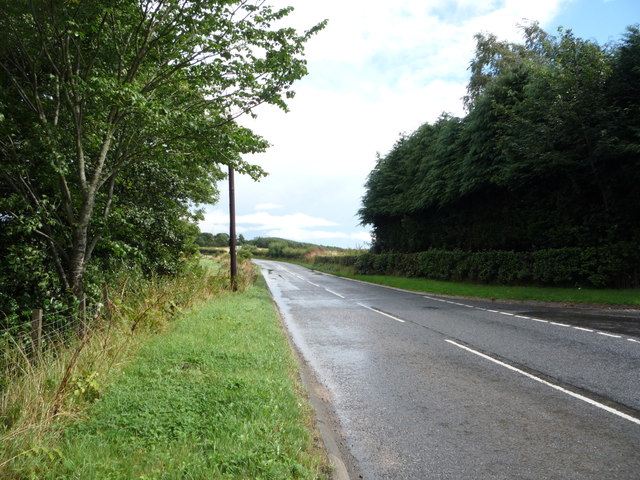
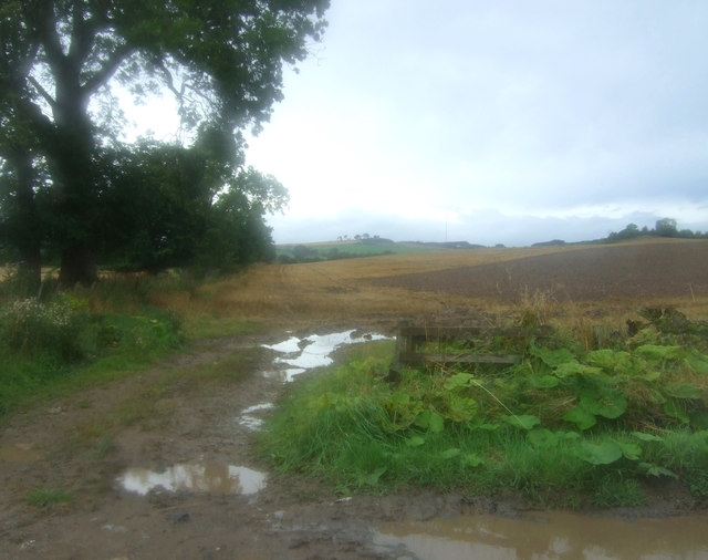
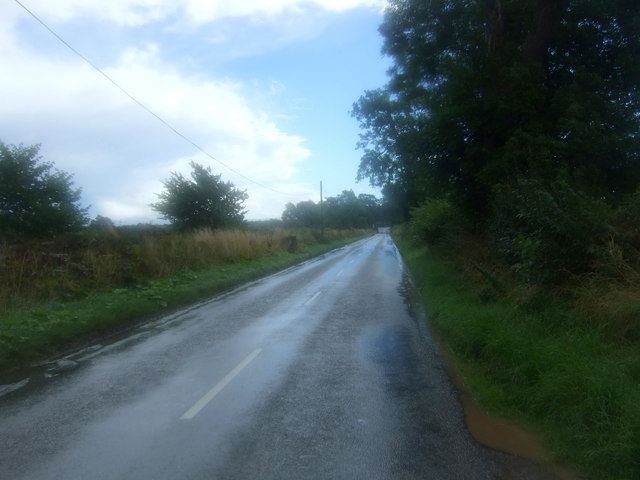
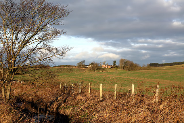
Longlee Plantation Images

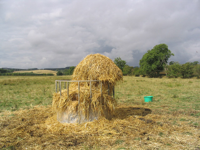
Images are sourced within 2km of 55.573697/-2.7315225 or Grid Reference NT5331. Thanks to Geograph Open Source API. All images are credited.

Winter farmland near Bowden This early morning view with a touch of frost on the ground was taken from the B6359.
Winter farmland near Bowden
This early morning view with a touch of frost on the ground was taken from the B6359.
A frosted spider’s web The web was on a metal gate to this field <a href="https://www.geograph.org.uk/photo/7052191">NT5429 : Winter farmland near Bowden</a>.
A frosted spider’s web
The web was on a metal gate to this field NT5429 : Winter farmland near Bowden.
Old toll house The entrance to the old tollhouse, Bowden Toll.
Old toll house
The entrance to the old tollhouse, Bowden Toll.
Farm buildings, Bowden View towards the Eildon Hills.
Just after a heavy downpour.
Farm buildings, Bowden
View towards the Eildon Hills. Just after a heavy downpour.
Road junction near Hillview The B6359 meets the A699.
Road junction near Hillview
The B6359 meets the A699.
A699 towards Kelso Looking north east.
A699 towards Kelso
Looking north east.
Field entrance off the B6359
Looking south east on the B6359
Farmland at Bowden Faughhill Farm is in the background.
Farmland at Bowden
Faughhill Farm is in the background.
Former tollhouse Surveyed by the Milestone Society.   On the A699, Selkirk to Kelso, cross roads with the B6359, Hawick to Melrose, at the south west corner.   Known as Bowden Stand Dam, a George Brown was the toll keeper sometime in the mid 1800s.  He was an ancestor of the photographer. This picture shows the blocked up hatch where the tolls were taken.
Former tollhouse
Surveyed by the Milestone Society. On the A699, Selkirk to Kelso, cross roads with the B6359, Hawick to Melrose, at the south west corner. Known as Bowden Stand Dam, a George Brown was the toll keeper sometime in the mid 1800s. He was an ancestor of the photographer. This picture shows the blocked up hatch where the tolls were taken.
Pasture Field and Trees
Cattle Feeding Station
Farmland near Bowden A large arable field viewed from the B6359 with the village of Bowden beyond. Eildon Hill North is the hill in the centre background. Viewed on a fine December day.
Farmland near Bowden
A large arable field viewed from the B6359 with the village of Bowden beyond. Eildon Hill North is the hill in the centre background. Viewed on a fine December day.
Arable farmland Farmland viewed from the B6359 with Faughhill Farm in the background.
Arable farmland
Farmland viewed from the B6359 with Faughhill Farm in the background.
Winter farmland This field running parallel with the A699 is viewed from a track to Holydean. A thaw is setting in after a couple of days of snow.
Winter farmland
This field running parallel with the A699 is viewed from a track to Holydean. A thaw is setting in after a couple of days of snow.
Deciduous trees On the boundary between two fields to the south-southeast of Faughhill Farm. Viewed in early January.
Deciduous trees
On the boundary between two fields to the south-southeast of Faughhill Farm. Viewed in early January.
Heading to Melrose Near the turn off to Bowden
Heading to Melrose
Near the turn off to Bowden
Winter farmland A grazing field viewed in December from the B6359.
Winter farmland
A grazing field viewed in December from the B6359.
Show me another place!

Longlee Plantation is located at Grid Ref: NT5331 (Lat: 55.573697, Lng: -2.7315225)

Unitary Authority: The Scottish Borders

Police Authority: The Lothians and Scottish Borders

What 3 Words

///forge.galaxy.cherished. Near Melrose, Scottish Borders

Nearby Locations

Longlee Plantation

Related Wikis

Castle Holydean

Holydean Castle (pronounced "hollydeen") was a castle sited near Melrose in Bowden, 1.25 miles SW of the village, in the Scottish Borders region of Scotland...

Eildon Hill

Eildon Hill lies just south of Melrose, Scotland in the Scottish Borders, overlooking the town. The name is usually pluralised into "the Eildons" or "Eildon...

Bowden, Scottish Borders

Bowden is a village in the Roxburghshire area of the Scottish Borders, situated 3 miles (5 kilometres) south of Melrose, 2 miles (3 kilometres) west of...

Dingleton Hospital

Dingleton Hospital was a mental health facility in Melrose, Scotland. The former boiler house is a Category B listed building. == History == The hospital...

Nearby Amenities

Located within 500m of 55.573697,-2.7315225
Power: tower
Lat/Long: 55.5748434/-2.7388297
Natural: peak
Lat/Long: 55.5694677/-2.7340827
Longleefoot
Place: hamlet
Lat/Long: 55.5705836/-2.7299719
Power: pole
Lat/Long: 55.5749137/-2.7381028
Power: pole
Lat/Long: 55.5743871/-2.7377363
Power: pole
Lat/Long: 55.572872/-2.7366699
Power: pole
Lat/Long: 55.5720823/-2.7361107
Power: pole
Lat/Long: 55.5695408/-2.7343488
Power: pole
Lat/Long: 55.5732545/-2.733635
Power: pole
Lat/Long: 55.5726934/-2.7332541
Power: pole
Lat/Long: 55.5720978/-2.7328619
Power: pole
Lat/Long: 55.5714848/-2.7324468
Power: pole
Lat/Long: 55.5709199/-2.7320538
Power: pole
Lat/Long: 55.5706507/-2.731626
Power: pole
Lat/Long: 55.5703945/-2.7312197
Power: pole
Lat/Long: 55.5737104/-2.737269
Power: pole
Lat/Long: 55.5713171/-2.7355716
Power: pole
Lat/Long: 55.5703886/-2.7349174
Power: pole
Lat/Long: 55.5698364/-2.7303171
Power: pole
Lat/Long: 55.5693875/-2.7295017
Power: pole
Lat/Long: 55.5738428/-2.7340212
Power: pole
Lat/Long: 55.5750229/-2.7348338
Power: pole
Lat/Long: 55.576203/-2.7361274
Power: pole
Lat/Long: 55.5756784/-2.735302
Power: pole
Lat/Long: 55.5744385/-2.734443
Power: pole
Lat/Long: 55.5767639/-2.7370468
The data included in this document is from www.openstreetmap.org. The data is made available under ODbL.

Have you been to Longlee Plantation?

Leave your review of Longlee Plantation below (or comments, questions and feedback).