Birch Wood
Wood, Forest in Angus
Scotland
Birch Wood
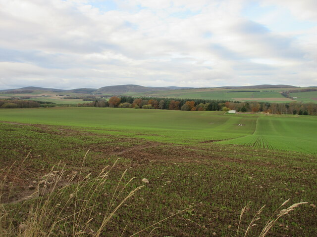
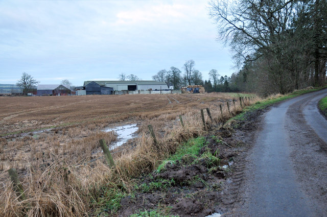
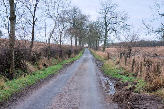
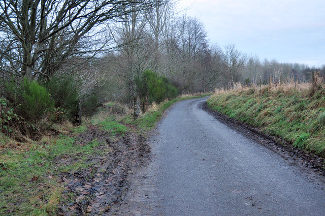
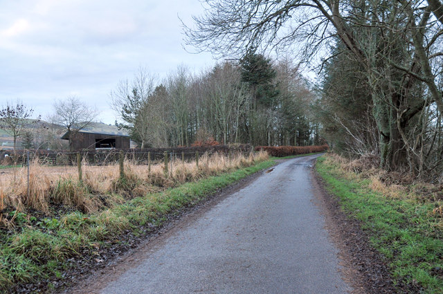
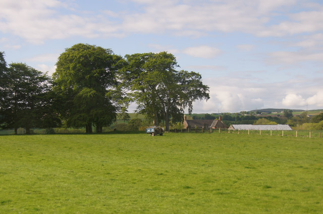
Birch Wood, Angus, located in the county of Angus, Scotland, is a picturesque forest known for its abundant birch trees. Spanning over a vast area of approximately 500 acres, the wood is a haven for nature enthusiasts and offers a tranquil escape from the hustle and bustle of daily life.
The forest is primarily composed of silver birch trees (Betula pendula), known for their slender trunks, distinctive white bark, and delicate branches. These elegant trees create a stunning visual display, especially during spring and autumn when their leaves transition from vibrant green to golden yellow. Additionally, the wood is home to a variety of other native tree species including oak, rowan, and hazel, contributing to its rich biodiversity.
Birch Wood boasts a diverse range of wildlife, attracting birdwatchers and animal lovers alike. Visitors may spot a variety of bird species such as woodpeckers, goldcrests, and crossbills, as well as mammals including red squirrels, roe deer, and foxes. The forest is also home to a myriad of insects and butterflies, adding to its ecological significance.
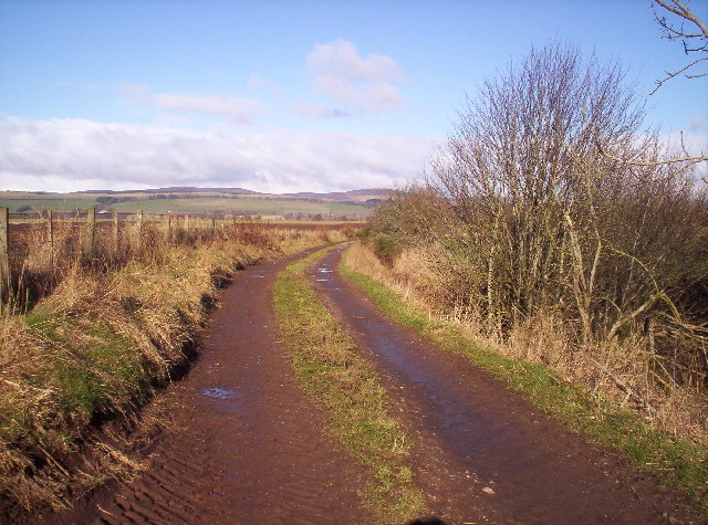
For explorers and hikers, Birch Wood offers a network of well-maintained walking trails that wind through the enchanting woodland. These paths cater to all abilities, ensuring that visitors of all ages can enjoy the beauty of the forest. The tranquil atmosphere and soothing sounds of nature make Birch Wood an ideal destination for relaxation, meditation, or simply reconnecting with the natural world.
Overall, Birch Wood, Angus, is an idyllic destination for those seeking solace in nature. With its stunning birch trees, diverse wildlife, and peaceful ambiance, it provides a memorable experience for anyone venturing into its serene surroundings.
If you have any feedback on the listing, please let us know in the comments section below.
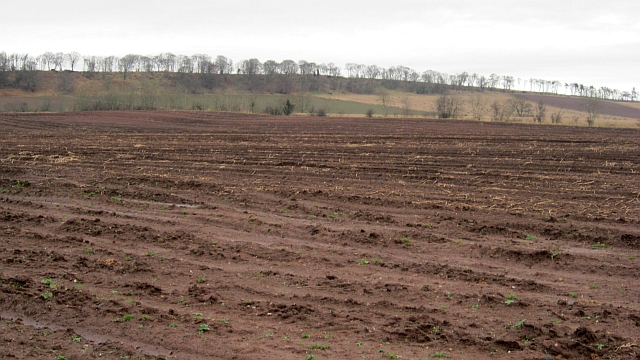
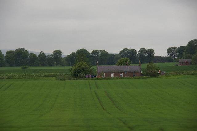
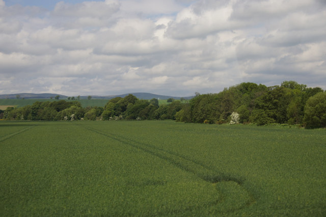
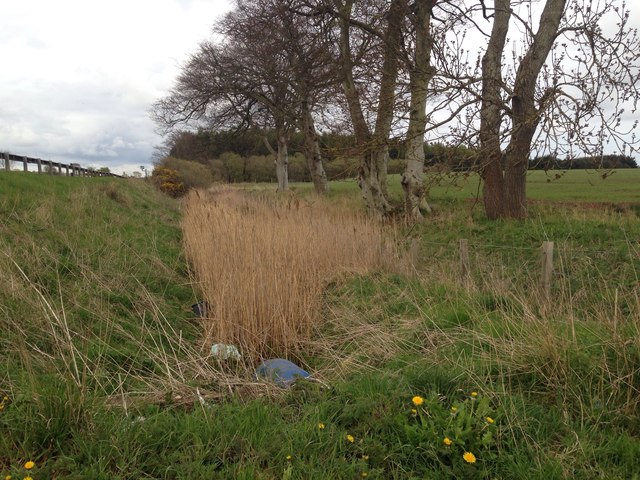
Birch Wood Images
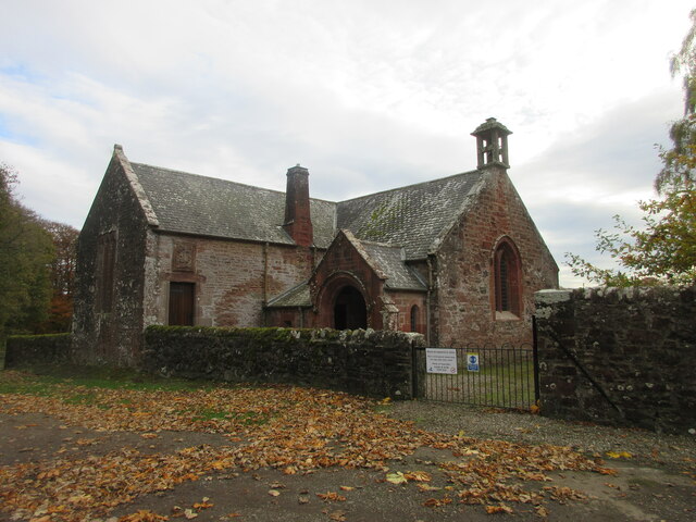
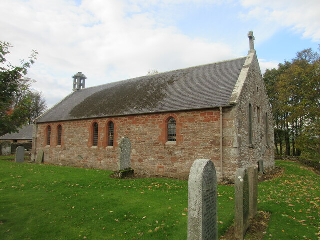
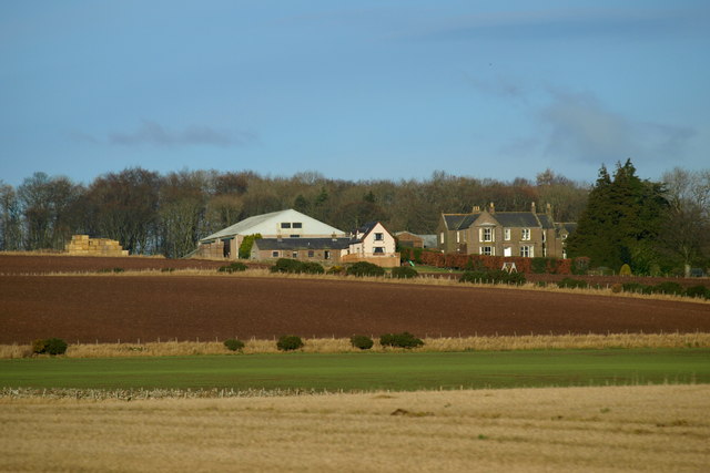
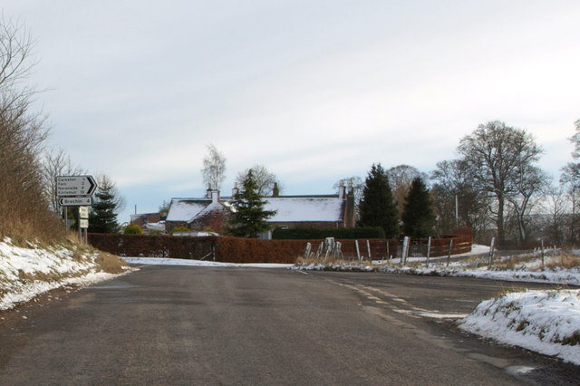
Images are sourced within 2km of 56.722512/-2.7762337 or Grid Reference NO5259. Thanks to Geograph Open Source API. All images are credited.
Birch Wood is located at Grid Ref: NO5259 (Lat: 56.722512, Lng: -2.7762337)
Unitary Authority: Angus
Police Authority: Tayside
What 3 Words
///neat.propelled.double. Near Brechin, Angus
Nearby Locations
Related Wikis

Careston Castle
Careston Castle, also known as Caraldston Castle, is an L-plan tower house dating from the 16th century, on a 1,528-acre estate, in Careston parish, Angus...

Careston
Careston is a hamlet in Angus, Scotland, that is in the parish of the same name, 5 miles west of Brechin. The parish and hamlet supposedly took their name...

Careston railway station
Careston railway station served the hamlet of Careston, Angus, Scotland, from 1895 to 1964 on the Forfar and Brechin Railway. == History == The station...

Finavon
Finavon is a small settlement in Angus, Scotland. Its Ordnance Survey grid reference is NO4957. == References ==
Nearby Amenities
Located within 500m of 56.722512,-2.7762337Have you been to Birch Wood?
Leave your review of Birch Wood below (or comments, questions and feedback).