Peddieston Wood

Wood, Forest in Angus

Scotland

Peddieston Wood

Minor road near to Fallaws Wood Looking north-westward through the buttresses of a former railway bridge.
Minor road near to Fallaws Wood Credit: Peter Wood

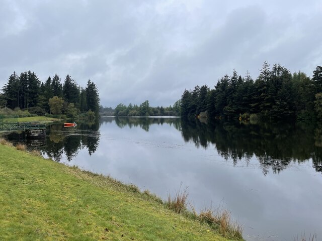
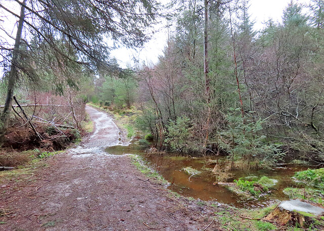
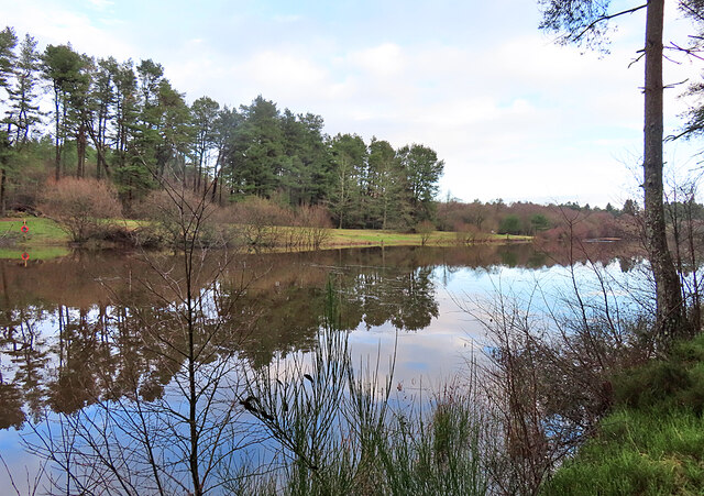
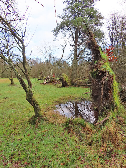
Peddieston Wood is a beautiful forest located in the county of Angus, Scotland. Covering an area of approximately 200 acres, this woodland is a haven for nature enthusiasts and outdoor adventurers. The wood is situated near the town of Forfar, making it easily accessible for locals and tourists alike.

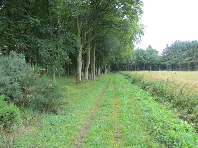
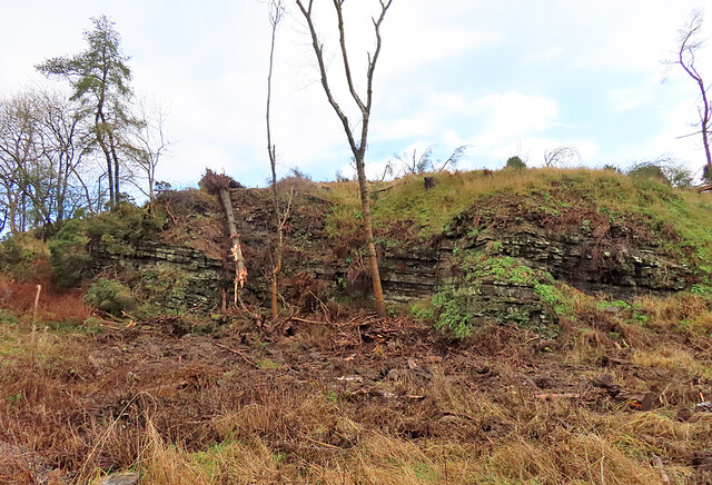
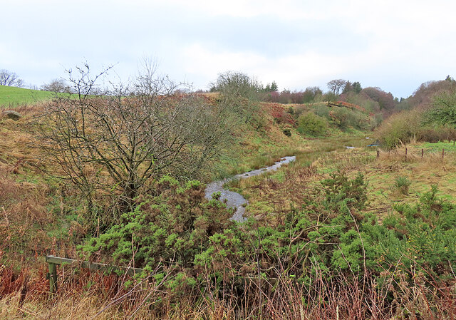
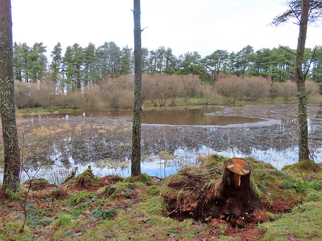
Peddieston Wood boasts a diverse range of flora and fauna, making it a perfect spot for wildlife spotting and plant enthusiasts. The forest is predominantly composed of native Scottish trees such as birch, oak, and pine, creating a rich and vibrant ecosystem. The woodland floor is adorned with an array of wildflowers and ferns, adding to the natural beauty of the area.

For those interested in birdwatching, Peddieston Wood is home to a variety of bird species, including woodpeckers, owls, and finches. The peaceful ambiance and dense foliage provide an ideal habitat for these feathered creatures, making it a haven for bird lovers.

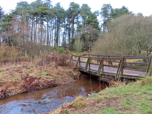
Visitors to Peddieston Wood can enjoy a network of well-maintained trails and paths, allowing them to explore the forest at their own pace. These trails offer breathtaking views of the surrounding countryside, making it a popular destination for hikers and nature lovers seeking a tranquil escape from the bustling city life.

Overall, Peddieston Wood is a picturesque forest that offers a serene and peaceful environment for visitors to immerse themselves in nature. With its diverse range of plant and animal life, this woodland is a true gem of Angus, Scotland.

If you have any feedback on the listing, please let us know in the comments section below.

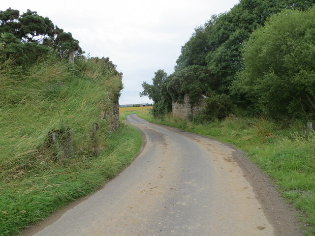
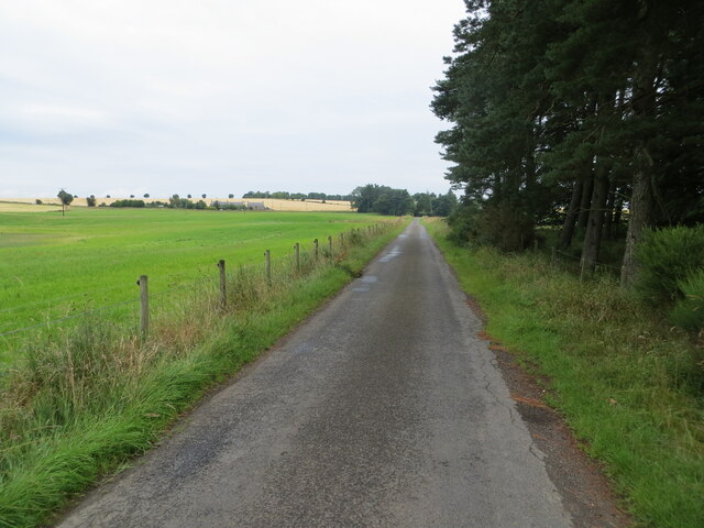
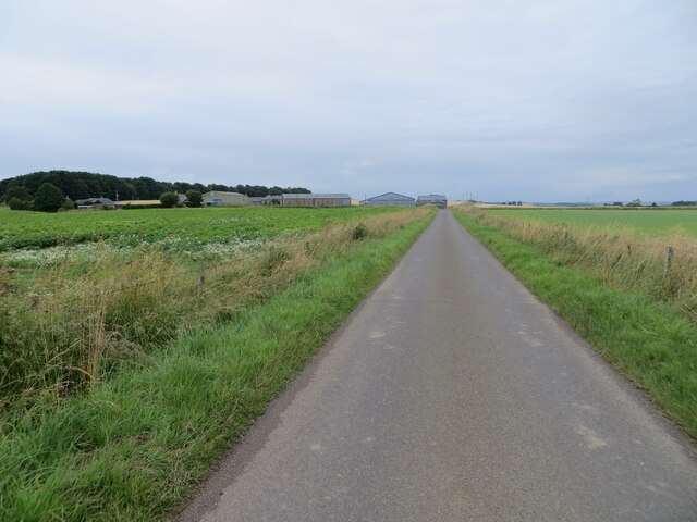
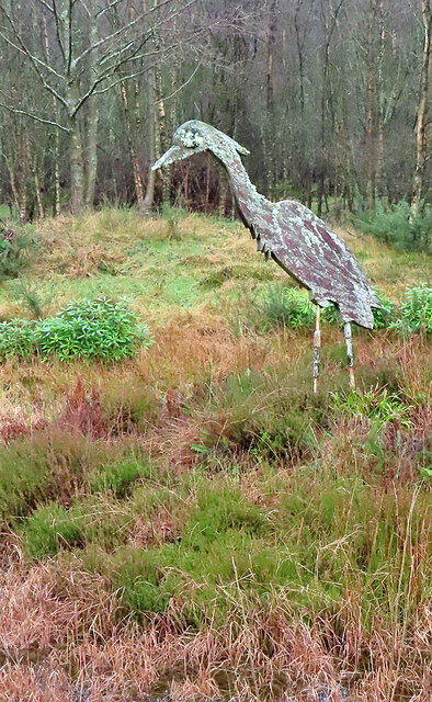
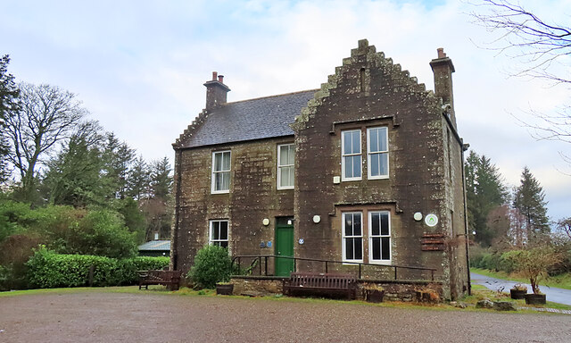
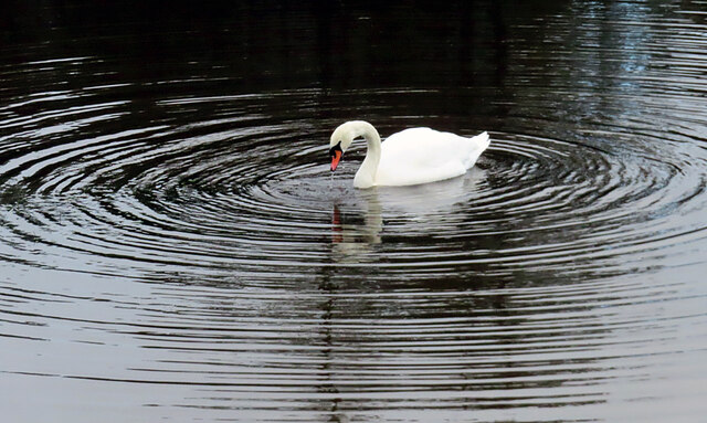
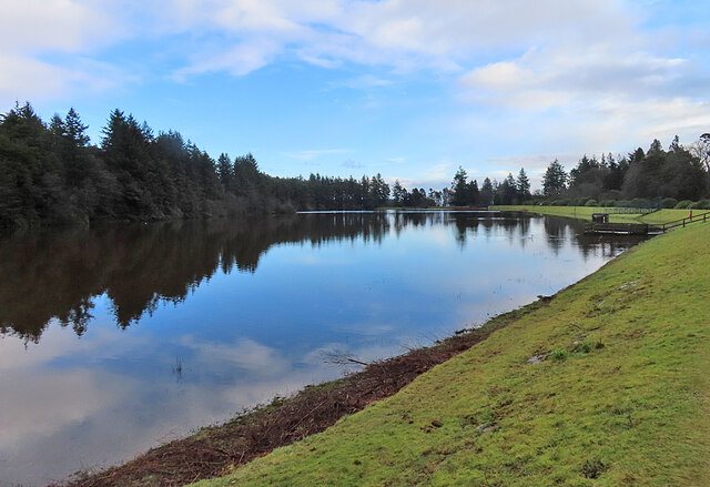
Peddieston Wood Images

Images are sourced within 2km of 56.551811/-2.7724098 or Grid Reference NO5240. Thanks to Geograph Open Source API. All images are credited.

Minor road near to Fallaws Wood Looking north-westward through the buttresses of a former railway bridge.
Minor road near to Fallaws Wood
Looking north-westward through the buttresses of a former railway bridge.
Minor road heading towards East Skichen Looking north-eastward.
Minor road heading towards East Skichen
Looking north-eastward.
Pathway to Crombie Reservoir and Country Park Looking southward.
Pathway to Crombie Reservoir and Country Park
Looking southward.
Minor road approaching Hayhillock Looking north-eastward.
Minor road approaching Hayhillock
Looking north-eastward.
Crombie Country Park A short walk around this quiet and peaceful park after a day and a half of rain. Sodden ground but fresh air. A lot of tree damage is evident here from previous winter storms - it will take some clearing.
Crombie Country Park
A short walk around this quiet and peaceful park after a day and a half of rain. Sodden ground but fresh air. A lot of tree damage is evident here from previous winter storms - it will take some clearing.
Rocky Outcrop Most of the land around here is covered by a blanket of glacial deposits, but this outcrop has been exposed by the action of the Crombie Burn, which has carved out the nearby Crombie Den. The strata are mudstones and siltstones of the Dundee Flagstone Formation, formed about 400 million years ago.
Rocky Outcrop
Most of the land around here is covered by a blanket of glacial deposits, but this outcrop has been exposed by the action of the Crombie Burn, which has carved out the nearby Crombie Den. The strata are mudstones and siltstones of the Dundee Flagstone Formation, formed about 400 million years ago.
Crombie Den A den is a valley, usually but not always steep-sided, carved into relatively soft rock by the action of a small watercourse. They are very common in Old Red Sandstone areas like this. This is looking downstream from the road bridge.
Crombie Den
A den is a valley, usually but not always steep-sided, carved into relatively soft rock by the action of a small watercourse. They are very common in Old Red Sandstone areas like this. This is looking downstream from the road bridge.
Crombie Den A den is a valley, usually but not always steep-sided, carved into relatively soft rock by the action of a small watercourse. They are very common in Old Red Sandstone areas like this. This is looking upstream from the road bridge.
Crombie Den
A den is a valley, usually but not always steep-sided, carved into relatively soft rock by the action of a small watercourse. They are very common in Old Red Sandstone areas like this. This is looking upstream from the road bridge.
Peeling Ivy I presume that it was recent stormy winds that have peeled most of the ivy off the gable of this building.
Peeling Ivy
I presume that it was recent stormy winds that have peeled most of the ivy off the gable of this building.
Giant Heron This large model of a heron stands beside a pond next to the road into Crombie Country Park.
Giant Heron
This large model of a heron stands beside a pond next to the road into Crombie Country Park.
Visitor Centre This house contains the visitor centre at Crombie Country Park. It was not altogether a surprise to find it closed on a cold dreich January weekday.
Visitor Centre
This house contains the visitor centre at Crombie Country Park. It was not altogether a surprise to find it closed on a cold dreich January weekday.
Mute Swan (Cygnus olor) A swan making concentric ripples on the reservoir in Crombie Country Park.
Mute Swan (Cygnus olor)
A swan making concentric ripples on the reservoir in Crombie Country Park.
Crombie Reservoir The reservoir is the heart of Crombie Country Park. It was built in the mid-19th century to supply clean water to the city of Dundee, but became redundant and was opened as a country park in 1983.
Crombie Reservoir
The reservoir is the heart of Crombie Country Park. It was built in the mid-19th century to supply clean water to the city of Dundee, but became redundant and was opened as a country park in 1983.
Encroaching Water The water level in the reservoir was very high, and in a few places threatened to flood the paths round its perimeter.
Encroaching Water
The water level in the reservoir was very high, and in a few places threatened to flood the paths round its perimeter.
Crombie Reservoir This is the narrow western arm of the reservoir. It was built in the mid-19th century to supply clean water to the city of Dundee, but became redundant and was opened as a country park in 1983.
Crombie Reservoir
This is the narrow western arm of the reservoir. It was built in the mid-19th century to supply clean water to the city of Dundee, but became redundant and was opened as a country park in 1983.
Crombie Reservoir At the western end of the reservoir, the still water is being invaded by reeds. The reservoir was built in the mid-19th century to supply clean water to the city of Dundee, but became redundant and was opened as a country park in 1983.
Crombie Reservoir
At the western end of the reservoir, the still water is being invaded by reeds. The reservoir was built in the mid-19th century to supply clean water to the city of Dundee, but became redundant and was opened as a country park in 1983.
Footbridge The footbridge carries the main path round Crombie Reservoir across the burn that supplies the reservoir.
Footbridge
The footbridge carries the main path round Crombie Reservoir across the burn that supplies the reservoir.
Fallen Trees Several trees around Crombie Reservoir have fallen during recent storms.
Fallen Trees
Several trees around Crombie Reservoir have fallen during recent storms.
Show me another place!

Peddieston Wood is located at Grid Ref: NO5240 (Lat: 56.551811, Lng: -2.7724098)

Unitary Authority: Angus

Police Authority: Tayside

What 3 Words

///edges.ankle.pushover. Near Carnoustie, Angus

Related Wikis

Carnegie Castle

Carnegie Castle was a castle that was located in Angus, Scotland. The Carnegies owned the property between the 15th-18th century. The site of the castle...

Panmure House

Panmure House was a 17th-century country house in the Parish of Panbride, Angus, Scotland, 4 miles (6 km) to the north of Carnoustie. It was the seat of...

Camuston

Camuston was a village that once existed in Angus, Scotland until the late 18th/early 19th centuries. No trace of it can be found today, but its former...

Camus Cross

The Camus Cross, otherwise known as the Camuston or Camustane Cross, is an Early Medieval Scottish standing stone on the Panmure Estate near Carnoustie...

Nearby Amenities

Located within 500m of 56.551811,-2.7724098
Design: barrel
Power: tower
Lat/Long: 56.548059/-2.775273
Design: barrel
Power: tower
Lat/Long: 56.549162/-2.7698045
Design: barrel
Power: tower
Lat/Long: 56.5501155/-2.7652128
Power: pole
Lat/Long: 56.5501102/-2.7695487
Power: pole
Lat/Long: 56.5496782/-2.768096
Power: pole
Lat/Long: 56.5499529/-2.7674826
Power: pole
Lat/Long: 56.5505646/-2.7669693
Power: pole
Lat/Long: 56.5511/-2.7664964
Power: pole
Lat/Long: 56.5515532/-2.7661236
Power: pole
Lat/Long: 56.552122/-2.7656231
Power: pole
Lat/Long: 56.5524941/-2.7650182
Power: pole
Lat/Long: 56.5474508/-2.7738322
Power: pole
Lat/Long: 56.5477314/-2.7726769
Power: pole
Lat/Long: 56.5480193/-2.771491
Power: pole
Lat/Long: 56.548286/-2.7704136
The data included in this document is from www.openstreetmap.org. The data is made available under ODbL.

Have you been to Peddieston Wood?

Leave your review of Peddieston Wood below (or comments, questions and feedback).