Bent Wood

Wood, Forest in Roxburghshire

Scotland

Bent Wood

Along the Lauder Burn View from near Thriepmuir Bridge.
Along the Lauder Burn Credit: Richard Webb

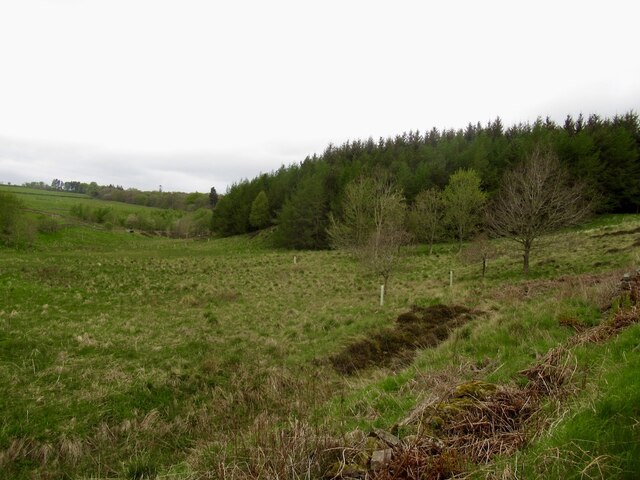
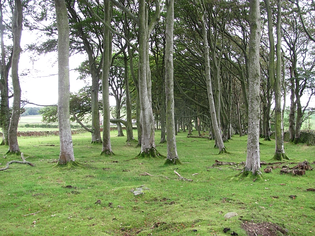
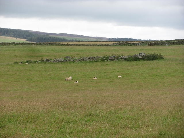
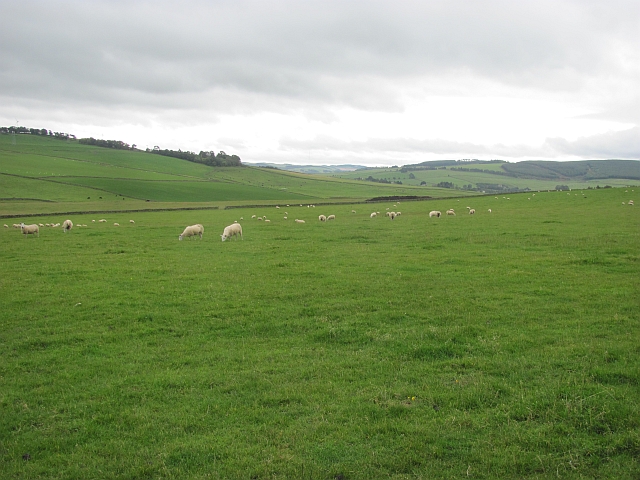
Bent Wood is a picturesque forest located in Roxburghshire, Scotland. Spanning over an area of approximately 500 acres, it is known for its stunning natural beauty and diverse range of flora and fauna. The forest is situated near the village of Roxburgh, just a few miles south of the Scottish Borders.

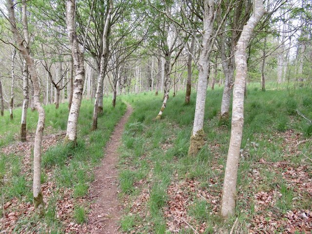
Bent Wood is predominantly made up of native broadleaf trees, including oak, beech, and birch. These trees create a dense canopy, providing a habitat for a myriad of wildlife species. Visitors to the forest can expect to see a variety of birds, such as woodpeckers, owls, and songbirds, as well as small mammals like red squirrels and badgers.

Numerous walking trails wind their way through Bent Wood, offering visitors the opportunity to explore the forest's enchanting beauty. The paths are well-maintained and suitable for all ages and fitness levels. Along the way, hikers can enjoy breathtaking views of the surrounding countryside and may even catch a glimpse of the River Teviot, which runs adjacent to the forest.

Bent Wood also holds historical significance, with remnants of an ancient Roman road passing through the forest. This road once connected the Roman fort of Trimontium with other outposts in the region. Archaeological enthusiasts can explore these remains and imagine the footsteps of Roman soldiers who once traversed this path.

Overall, Bent Wood is a haven for nature lovers, offering a peaceful retreat away from the hustle and bustle of everyday life. Its stunning landscapes, diverse wildlife, and rich history make it a must-visit destination for anyone seeking to connect with nature and immerse themselves in the beauty of Roxburghshire.

If you have any feedback on the listing, please let us know in the comments section below.
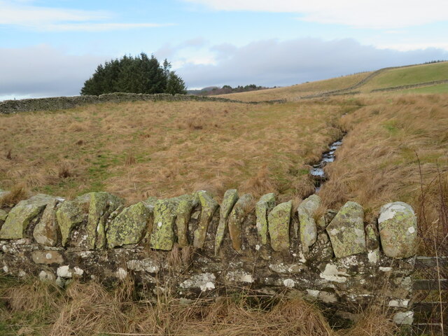
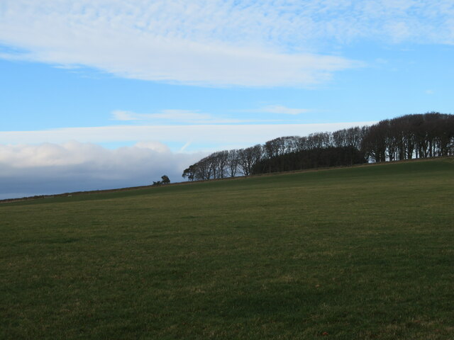
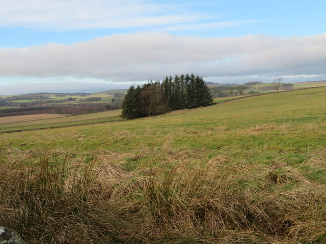
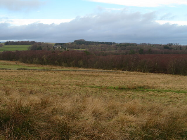
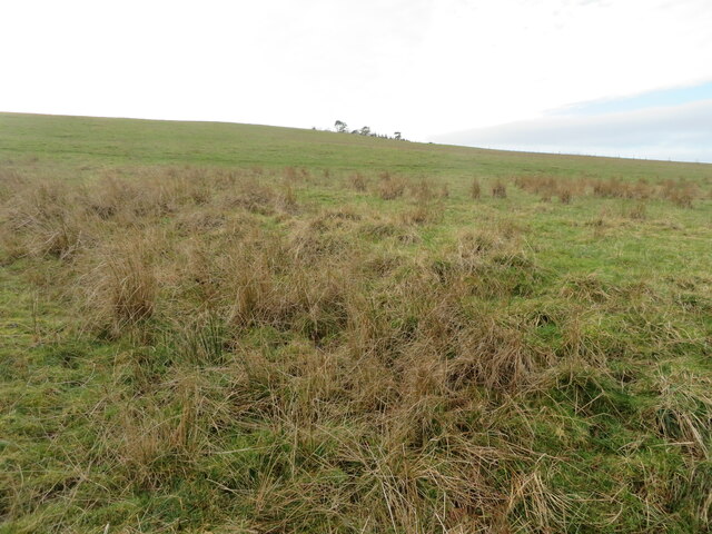
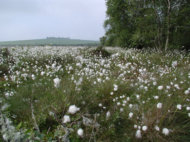
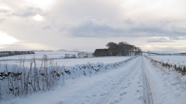
Bent Wood Images

Images are sourced within 2km of 55.680482/-2.7695988 or Grid Reference NT5143. Thanks to Geograph Open Source API. All images are credited.

Along the Lauder Burn View from near Thriepmuir Bridge.
Along the Lauder Burn
View from near Thriepmuir Bridge.
Path, Gullet Wood
Path, Gullet Wood
Upper Blainslie Trig Point Flush Bracket S7408
Telephone Exchange near Langshaw In what might be described as 'the middle of nowhere'.
Telephone Exchange near Langshaw
In what might be described as 'the middle of nowhere'.
Rough grassland near Bluecairn With a small plantation and electricity transmission line.
Rough grassland near Bluecairn
With a small plantation and electricity transmission line.
The Moss Burn A tributary of the Allan Water, near Langshaw. The small building will be connected with the hydraulic ram on the burn, marked on the map.
The Moss Burn
A tributary of the Allan Water, near Langshaw. The small building will be connected with the hydraulic ram on the burn, marked on the map.
The Moss Burn Looking north from the bridge over. A tributary of the Allan Water.
The Moss Burn
Looking north from the bridge over. A tributary of the Allan Water.
New house at Springfield Adjacent to Fordswell farm.
New house at Springfield
Adjacent to Fordswell farm.
Southern Upland Way signpost By a shelter belt at a crossroads near Bluecairn.
Southern Upland Way signpost
By a shelter belt at a crossroads near Bluecairn.
Pasture at Jeaniefield Looking over the pasture to a hill top plantation.
Pasture at Jeaniefield
Looking over the pasture to a hill top plantation.
Rough grassland and a small plantation Near Jeaniefield and Bluecairn.
Rough grassland and a small plantation
Near Jeaniefield and Bluecairn.
Rough grassland near Threepwood With Birch woodland along the course of the Moss Burn.
Rough grassland near Threepwood
With Birch woodland along the course of the Moss Burn.
Rough grassland on Colmslie Hill Marginal land near Threepwood.
Rough grassland on Colmslie Hill
Marginal land near Threepwood.
Cotton-grass at Threepwood Moss Looking south along the edge of the moss towards Colmsliehill in the distance. The raised bog is a Site of Special Scientific Interest (SSSI).
Cotton-grass at Threepwood Moss
Looking south along the edge of the moss towards Colmsliehill in the distance. The raised bog is a Site of Special Scientific Interest (SSSI).
Southern Upland Way near Jeaniefield Bluecairn Farm is just visible behind the copse ahead and the Eildon Hills are a distinctive landmark on the horizon.
Southern Upland Way near Jeaniefield
Bluecairn Farm is just visible behind the copse ahead and the Eildon Hills are a distinctive landmark on the horizon.
Stripwood, Bluecairn Grass floored woodland, obviously grazed.
Stripwood, Bluecairn
Grass floored woodland, obviously grazed.
A clearance cairn Pile of stones left from when the land was improved and won from moorland.
A clearance cairn
Pile of stones left from when the land was improved and won from moorland.
Grassland, Bluecairn Top of the ridge between the Gala Water and Lauderdale.
Grassland, Bluecairn
Top of the ridge between the Gala Water and Lauderdale.
Show me another place!

Bent Wood is located at Grid Ref: NT5143 (Lat: 55.680482, Lng: -2.7695988)

Unitary Authority: The Scottish Borders

Police Authority: The Lothians and Scottish Borders

What 3 Words

///walnuts.spit.lakeside. Near Lauder, Scottish Borders

Nearby Locations

Bent Wood

Related Wikis

Allanshaws

Allanshaws is a place and farm off the B6362, in Lauderdale, by the Allan Water, in the parish of Melrose in the Scottish Borders area of Scotland, formerly...

Whitslaid Tower

Whitslaid Tower was an ancient Berwickshire seat of the Lauder family for over 300 years. It is today a ruin high above the eastern bank of the Leader...

Lauder Town Hall

Lauder Town Hall is a municipal structure in the Market Place in Lauder, Scottish Borders, Scotland. The structure, which is used as the local registrar...

Birkenside, Scottish Borders

Birkenside is a village in the Scottish Borders, Scotland.

Nearby Amenities

Located within 500m of 55.680482,-2.7695988
Power: tower
Lat/Long: 55.6837623/-2.7653239
Power: tower
Lat/Long: 55.6813587/-2.762579
The data included in this document is from www.openstreetmap.org. The data is made available under ODbL.

Have you been to Bent Wood?

Leave your review of Bent Wood below (or comments, questions and feedback).