Peel Wood

Wood, Forest in Roxburghshire

Scotland

Peel Wood

Track east of the Penchrise Burn A track on the grassy moorland between the Penchrise Burn and Shankend. Penchrise farm is in the background.
Track east of the Penchrise Burn Credit: Jim Barton

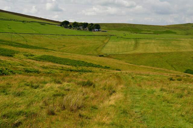
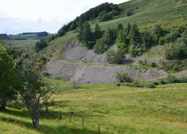
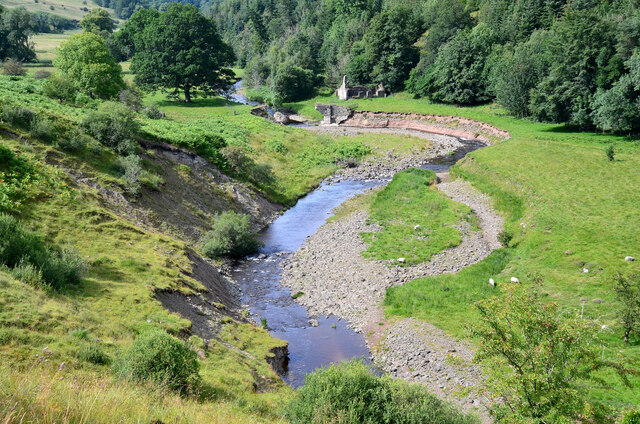
Peel Wood is a dense forest located in the county of Roxburghshire, Scotland. Covering an area of approximately 500 acres, it is one of the largest woodlands in the region. The forest is situated near the village of Peel, which lies on the banks of the River Tweed.

The wood is predominantly composed of native broadleaf species, including oak, ash, birch, and beech trees. These towering trees create a rich and diverse habitat for a variety of flora and fauna. The forest floor is adorned with an array of wildflowers, such as bluebells, primroses, and wood anemones, which add to the natural beauty of the area.

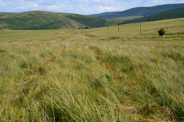
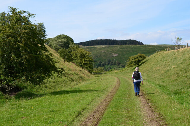
Peel Wood is a popular destination for nature enthusiasts and walkers, offering several well-maintained trails that wind through the forest. These paths provide visitors with an opportunity to immerse themselves in the peaceful surroundings while observing the abundant wildlife that inhabits the area. Red squirrels, roe deer, and a variety of bird species, including woodpeckers and owls, can often be spotted within the woodlands.

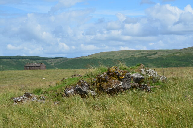
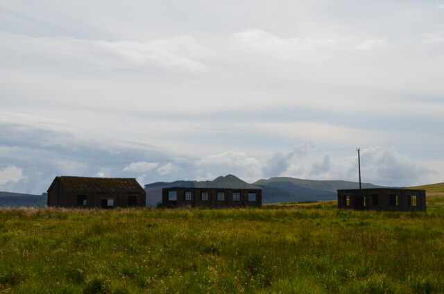
Additionally, Peel Wood has a rich history, with evidence of human activity dating back centuries. The remains of an ancient peel tower, which was once used as a defensive structure, can still be seen within the forest. This historical element adds an intriguing aspect to the woodland, attracting history enthusiasts and those curious about the past.

Overall, Peel Wood in Roxburghshire offers a captivating blend of natural beauty, diverse wildlife, and historical significance, making it a must-visit destination for nature lovers and history buffs alike.

If you have any feedback on the listing, please let us know in the comments section below.
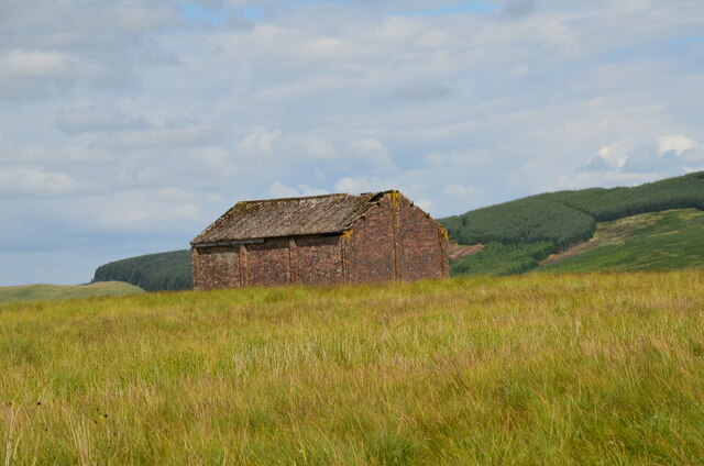
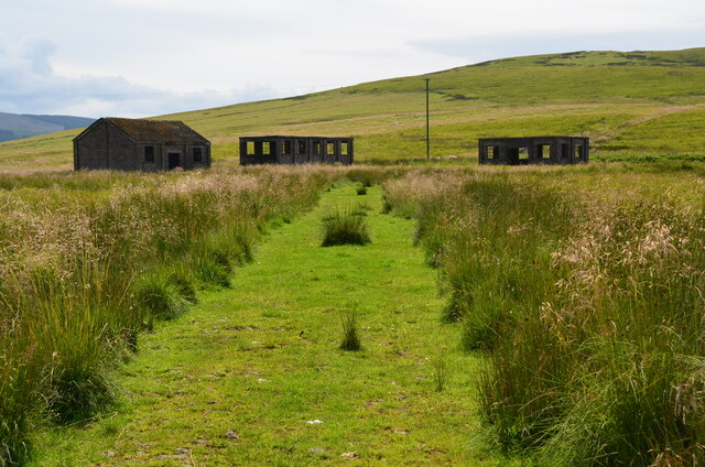
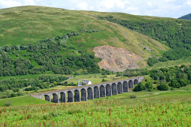
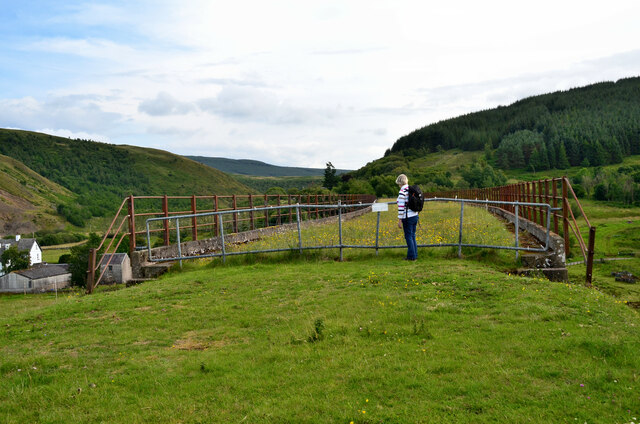
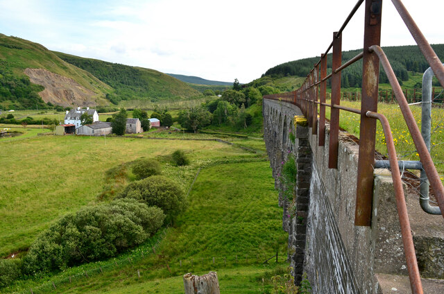
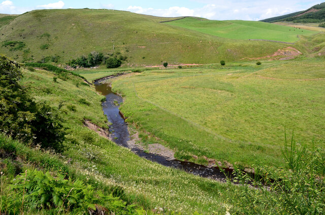
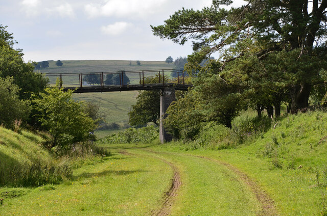
Peel Wood Images

Images are sourced within 2km of 55.343143/-2.7635945 or Grid Reference NT5105. Thanks to Geograph Open Source API. All images are credited.

Track east of the Penchrise Burn A track on the grassy moorland between the Penchrise Burn and Shankend. Penchrise farm is in the background.
Track east of the Penchrise Burn
A track on the grassy moorland between the Penchrise Burn and Shankend. Penchrise farm is in the background.
Moorland path to Shankend To the east of the fence, the route is a very sketchy path of sorts through thick grass on uneven moorland, boggy in places - quite enjoyable, in retrospect.
Moorland path to Shankend
To the east of the fence, the route is a very sketchy path of sorts through thick grass on uneven moorland, boggy in places - quite enjoyable, in retrospect.
Concrete remains above Shankend Reinforced concrete from some building or structure and another building not far from an ancient settlement site, possibly in connection with tank training here in WW2.
Concrete remains above Shankend
Reinforced concrete from some building or structure and another building not far from an ancient settlement site, possibly in connection with tank training here in WW2.
Disused buildings near Shankend Buildings presumably connected with the Stobs Camp or tank training in WW2. The peaks of Maiden Paps are on the skyline.
Disused buildings near Shankend
Buildings presumably connected with the Stobs Camp or tank training in WW2. The peaks of Maiden Paps are on the skyline.
Building near Shankend Another derelict building on the moor above Shankend Viaduct.
Building near Shankend
Another derelict building on the moor above Shankend Viaduct.
Track to buildings near Shankend A track to the group of buildings on the moorland west of Shankend Viaduct.
Track to buildings near Shankend
A track to the group of buildings on the moorland west of Shankend Viaduct.
Shankend Viaduct This carried the Edinburgh to Carlisle Waverley line over the Langside Burn south of Hawick. It was opened in 1862, closed in 1969. A feasibility study is in progress to assess the case for extending the Borders Railway from Tweedbank to Hawick and Carlisle.
Shankend Viaduct
This carried the Edinburgh to Carlisle Waverley line over the Langside Burn south of Hawick. It was opened in 1862, closed in 1969. A feasibility study is in progress to assess the case for extending the Borders Railway from Tweedbank to Hawick and Carlisle.
Northern end of Shankend Viaduct On the Waverley Line route from Edinburgh to Carlisle, about to cross the Langside Burn en route for Whitrope Tunnel, Riccarton Junction and Newcastleton. The notice reads

'Highways Act 1980
The British Railways Board hereby give notice that this way is not dedicated to the public'
Northern end of Shankend Viaduct
On the Waverley Line route from Edinburgh to Carlisle, about to cross the Langside Burn en route for Whitrope Tunnel, Riccarton Junction and Newcastleton. The notice reads 'Highways Act 1980 The British Railways Board hereby give notice that this way is not dedicated to the public'
East side of the Shankend Viaduct The viaduct carried the Waverley Line across the Langside Burn. It has 15 arches and was opened in 1862 and the line closed in 1969. See also the Canmore website entry at <span class="nowrap"><a title="https://canmore.org.uk/site/55168/shankend-viaduct" rel="nofollow ugc noopener" href="https://canmore.org.uk/site/55168/shankend-viaduct">Link</a><img style="margin-left:2px;" alt="External link" title="External link - shift click to open in new window" src="https://s1.geograph.org.uk/img/external.png" width="10" height="10"/></span>.
East side of the Shankend Viaduct
The viaduct carried the Waverley Line across the Langside Burn. It has 15 arches and was opened in 1862 and the line closed in 1969. See also the Canmore website entry at LinkExternal link.
Cutting, Waverley Line Easy walking on smooth level grass on the trackbed in this area.
Cutting, Waverley Line
Easy walking on smooth level grass on the trackbed in this area.
The Slitrig Water The Slitrig gathers several burns from an expanse of moorland and forestry to flow north to join the Teviot at Hawick.
The Slitrig Water
The Slitrig gathers several burns from an expanse of moorland and forestry to flow north to join the Teviot at Hawick.
Footbridge over the Waverley Line On the former railway about 1km north of Shankend Viaduct.
Footbridge over the Waverley Line
On the former railway about 1km north of Shankend Viaduct.
Disused quarry On the steep bank north of the Slitrig Water.
Disused quarry
On the steep bank north of the Slitrig Water.
Fleety Cottage ruin A ruined cottage by the Slitrig Water which has carried away the bridge in some past flood.
Fleety Cottage ruin
A ruined cottage by the Slitrig Water which has carried away the bridge in some past flood.
Installing new power line Contractors fitting conductors to a twin-pole power line crossing the Penchrise Burn. The line heads NE to pass the Stobs Camp area - see <a href="https://www.geograph.org.uk/photo/7551849">NT4908 : New power line near Newton Hill</a>.
Installing new power line
Contractors fitting conductors to a twin-pole power line crossing the Penchrise Burn. The line heads NE to pass the Stobs Camp area - see NT4908 : New power line near Newton Hill.
Installing new power line (2) Contractors fitting conductors to a twin-pole power line crossing the Penchrise Burn. The line heads NE to pass the Stobs Camp area - see <a href="https://www.geograph.org.uk/photo/7551849">NT4908 : New power line near Newton Hill</a>. Note the 'cherry picker' platforms equipped with crawler tracks for off-road use.
Installing new power line (2)
Contractors fitting conductors to a twin-pole power line crossing the Penchrise Burn. The line heads NE to pass the Stobs Camp area - see NT4908 : New power line near Newton Hill. Note the 'cherry picker' platforms equipped with crawler tracks for off-road use.
Waverley Line trackbed A broad stretch of grass gives easy walking here. Further north, the path narrows in thicker undergrowth.
Waverley Line trackbed
A broad stretch of grass gives easy walking here. Further north, the path narrows in thicker undergrowth.
Shankend Viaduct
Shankend Viaduct
Show me another place!

Peel Wood is located at Grid Ref: NT5105 (Lat: 55.343143, Lng: -2.7635945)

Unitary Authority: The Scottish Borders

Police Authority: The Lothians and Scottish Borders

What 3 Words

///cabbies.trifling.guards. Near Hawick, Scottish Borders

Related Wikis

Shankend

Shankend Manor was a sixteenth-century mansion located some six miles (ten kilometres) south of Hawick, close to Whitrope Siding in Scotland. It was constructed...

Shankend railway station

Shankend railway station served the hamlet of Shankend, Scottish Borders, Scotland from 1862 to 1969 on the Border Union Railway. == History == The station...

Maiden Paps (Hawick)

The Maiden Paps are twin hills near Hawick, in the Scottish Borders of the south east of Scotland, so named because they have the shape of human breasts...

Stobs railway station

Stobs railway station served the hamlet of Barnes, Scottish Borders, Scotland from 1862 to 1969 on the Border Union Railway. == History == The station...

Nearby Amenities

Located within 500m of 55.343143,-2.7635945
Barrier: cattle_grid
Lat/Long: 55.3442976/-2.7559528
Power: pole
Lat/Long: 55.3451814/-2.7696033
Power: pole
Lat/Long: 55.3450794/-2.7684135
Power: pole
Lat/Long: 55.3449716/-2.7671804
Power: pole
Lat/Long: 55.3448645/-2.7659371
Power: pole
Lat/Long: 55.3447574/-2.7647027
Power: pole
Lat/Long: 55.3446445/-2.763476
Power: pole
Lat/Long: 55.3445374/-2.7622696
Power: pole
Lat/Long: 55.3444318/-2.7610276
Power: pole
Lat/Long: 55.3443319/-2.7598518
Power: pole
Lat/Long: 55.3444795/-2.7587981
Power: pole
Lat/Long: 55.3445389/-2.7584126
Power: pole
Lat/Long: 55.3446974/-2.7577254
Power: pole
Lat/Long: 55.3448754/-2.7569644
The data included in this document is from www.openstreetmap.org. The data is made available under ODbL.

Have you been to Peel Wood?

Leave your review of Peel Wood below (or comments, questions and feedback).