Corrstone Wood

Wood, Forest in Aberdeenshire

Scotland

Corrstone Wood

Minor road towards Rhynie
Minor road towards Rhynie Credit: Steven Brown

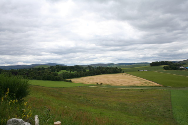
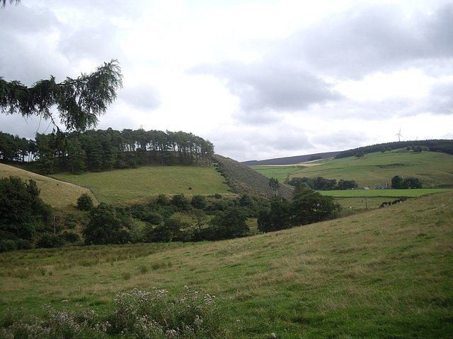
Corrstone Wood is a picturesque forest located in Aberdeenshire, Scotland. Situated in the northeast region of the country, this woodland area covers a vast expanse of land and offers visitors a tranquil and serene environment to explore.

The wood is characterized by its diverse range of tree species, including oak, birch, and pine, which create a rich and vibrant landscape. These towering trees provide a dense canopy, allowing sunlight to filter through and creating a captivating play of light and shadow on the forest floor. The forest is also home to a variety of wildlife, such as red squirrels, deer, and a plethora of bird species, making it a popular destination for nature enthusiasts and birdwatchers.

Visitors to Corrstone Wood can enjoy a network of well-maintained walking trails that wind through the forest, providing opportunities to take in the breathtaking scenery. The paths are suitable for all ages and abilities, ensuring that everyone can experience the beauty of this natural wonder. Additionally, there are picnic areas and benches dotted throughout the wood, allowing visitors to take a break and immerse themselves in the peaceful ambiance.

Corrstone Wood is not only a haven for nature lovers but also offers educational opportunities. The forest is often used as an outdoor classroom for schools and educational programs, where students can learn about the importance of preserving and protecting our natural environment.

Whether you are seeking a peaceful stroll through nature, a chance to spot wildlife, or an educational experience, Corrstone Wood in Aberdeenshire is a must-visit destination that showcases the beauty and diversity of Scotland's woodlands.

If you have any feedback on the listing, please let us know in the comments section below.

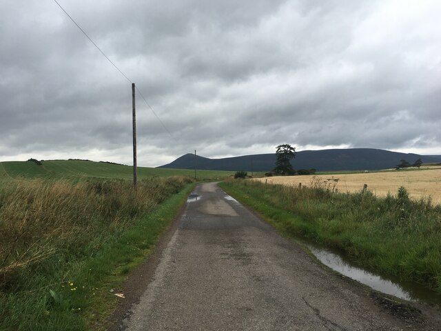
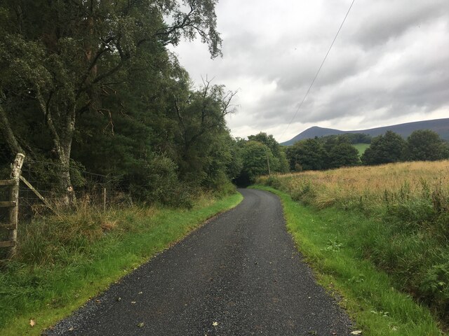
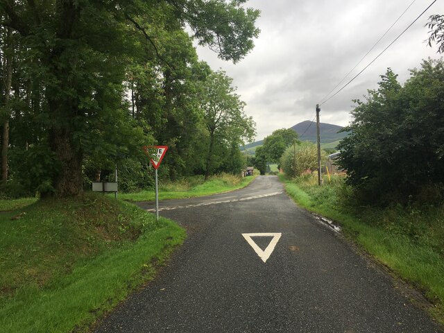
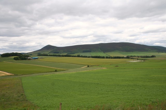
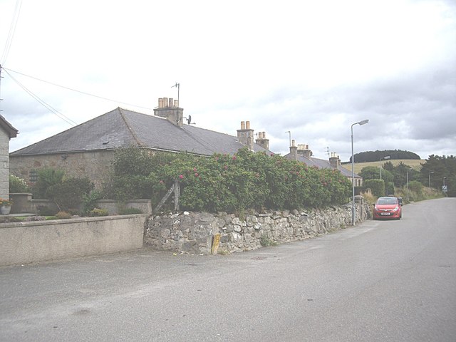
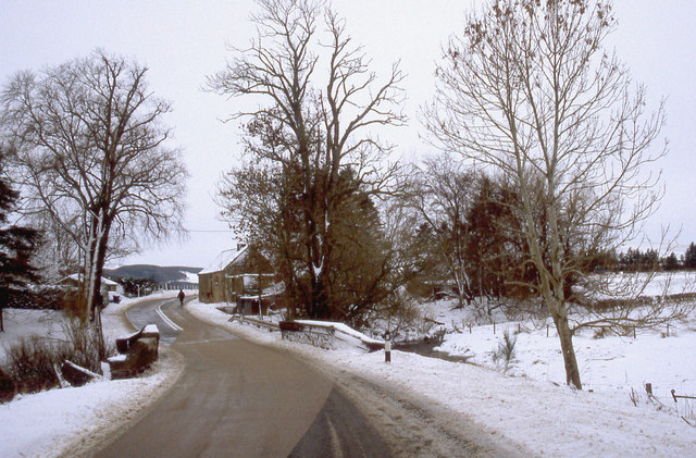
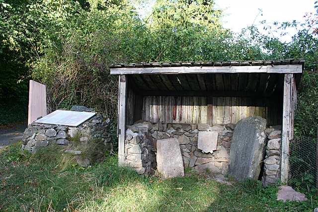
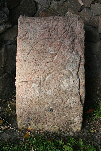
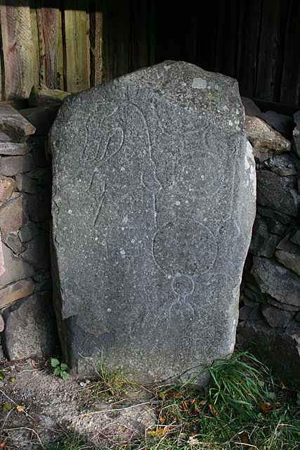
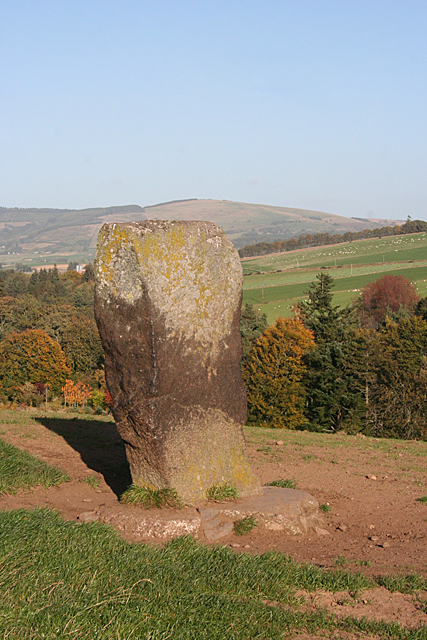
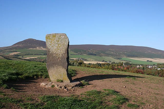
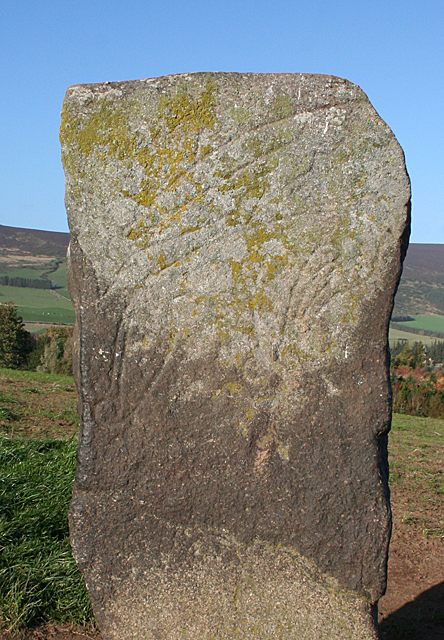
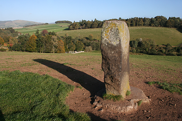
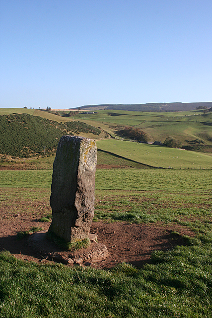
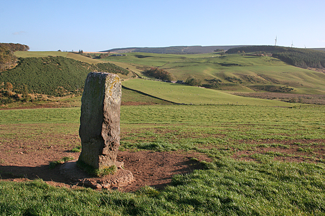
Corrstone Wood Images

Images are sourced within 2km of 57.331965/-2.815605 or Grid Reference NJ5027. Thanks to Geograph Open Source API. All images are credited.

Minor road towards Rhynie
Road junction near Rhynie
Kearn Fields Farmland by Bridge of Kearn with Tap o Noth taken from the Clatt Road by Gartnoch Hill.
Kearn Fields
Farmland by Bridge of Kearn with Tap o Noth taken from the Clatt Road by Gartnoch Hill.
Bridge of Kearn and Druminor Farmland by Bridge of Kearn and Druminor Woods.
Bridge of Kearn and Druminor
Farmland by Bridge of Kearn and Druminor Woods.
Tap o' Noth Looking WNW from a point on the A97 between Milton of Noth and Mill of Noth".
Tap o' Noth
Looking WNW from a point on the A97 between Milton of Noth and Mill of Noth".
The southern end of Drum Wood Seen from near Rhynie cemetery. The wind turbine on right hand skyline is on Cairn More <a href="https://www.geograph.org.uk/gridref/NJ5024">NJ5024</a>.
The southern end of Drum Wood
Seen from near Rhynie cemetery. The wind turbine on right hand skyline is on Cairn More NJ5024.
Semi-detached bungalows On the Bogie Road out of Rhynie.
Semi-detached bungalows
On the Bogie Road out of Rhynie.
The A97 crosses the Ord Burn at Mill of Noth
Rhynie Symbol Stones These are three of eight incised symbol stones found around Rhynie. They are house in an open shed beside the car park below the cemetery. See <a href="https://www.geograph.org.uk/photo/4712493">NJ4926 : Rhynie Symbol Stone No 5</a> and <a href="https://www.geograph.org.uk/photo/4712501">NJ4926 : Rhynie Symbol Stone No 6</a> for cloe-ups of two of the stones. The carving on the middle one was too worn and the photograph was indistinct.
Rhynie Symbol Stones
These are three of eight incised symbol stones found around Rhynie. They are house in an open shed beside the car park below the cemetery. See NJ4926 : Rhynie Symbol Stone No 5 and NJ4926 : Rhynie Symbol Stone No 6 for cloe-ups of two of the stones. The carving on the middle one was too worn and the photograph was indistinct.
Rhynie Symbol Stone No 5 The description of this stone at <span class="nowrap"><a title="http://canmore.org.uk/site/17194/rhynie-st-luags-church-churchyard-rhynie-no-5" rel="nofollow ugc noopener" href="http://canmore.org.uk/site/17194/rhynie-st-luags-church-churchyard-rhynie-no-5">Link</a><img style="margin-left:2px;" alt="External link" title="External link - shift click to open in new window" src="https://s1.geograph.org.uk/img/external.png" width="10" height="10"/></span> is a bit confusing. It shows two different stones under the same heading. This one is definitely pink granite, and I can make out a 'crescent and V-rod' and 'mirror' symbols. This is the one on the left in <a href="https://www.geograph.org.uk/photo/4712489">NJ4926 : Rhynie Symbol Stones</a>.
Rhynie Symbol Stone No 5
The description of this stone at LinkExternal link is a bit confusing. It shows two different stones under the same heading. This one is definitely pink granite, and I can make out a 'crescent and V-rod' and 'mirror' symbols. This is the one on the left in NJ4926 : Rhynie Symbol Stones.
Rhynie Symbol Stone No 6 The description of this stone at <span class="nowrap"><a title="http://canmore.org.uk/site/319702/rhynie-st-luags-church-churchyard-rhynie-no-6" rel="nofollow ugc noopener" href="http://canmore.org.uk/site/319702/rhynie-st-luags-church-churchyard-rhynie-no-6">Link</a><img style="margin-left:2px;" alt="External link" title="External link - shift click to open in new window" src="https://s1.geograph.org.uk/img/external.png" width="10" height="10"/></span> is a bit confusing. It shows two different stones under the same heading. This one is definitely grey whinstone, and I can make out a 'dog's head, 'double disc and z-rod' and 'mirror' symbols. It is supposed to have a 'comb' but if it is there it is very indistinct. This is the one on the right in <a href="https://www.geograph.org.uk/photo/4712489">NJ4926 : Rhynie Symbol Stones</a>.
Rhynie Symbol Stone No 6
The description of this stone at LinkExternal link is a bit confusing. It shows two different stones under the same heading. This one is definitely grey whinstone, and I can make out a 'dog's head, 'double disc and z-rod' and 'mirror' symbols. It is supposed to have a 'comb' but if it is there it is very indistinct. This is the one on the right in NJ4926 : Rhynie Symbol Stones.
Craw Stane (1) The Craw Stane is thought to be the most important of the eight symbol stones found around Rhynie. It stands on a low hill south of the village. See <span class="nowrap"><a title="http://canmore.org.uk/site/17199/rhynie-craw-stane" rel="nofollow ugc noopener" href="http://canmore.org.uk/site/17199/rhynie-craw-stane">Link</a><img style="margin-left:2px;" alt="External link" title="External link - shift click to open in new window" src="https://s1.geograph.org.uk/img/external.png" width="10" height="10"/></span> for more information. <a href="https://www.geograph.org.uk/photo/4712678">NJ4926 : Craw Stane (2)</a>
Craw Stane (1)
The Craw Stane is thought to be the most important of the eight symbol stones found around Rhynie. It stands on a low hill south of the village. See LinkExternal link for more information. NJ4926 : Craw Stane (2)
Craw Stane (2) The Craw Stane is thought to be the most important of the eight symbol stones found around Rhynie. It stands on a low hill south of the village. See <span class="nowrap"><a title="http://canmore.org.uk/site/17199/rhynie-craw-stane" rel="nofollow ugc noopener" href="http://canmore.org.uk/site/17199/rhynie-craw-stane">Link</a><img style="margin-left:2px;" alt="External link" title="External link - shift click to open in new window" src="https://s1.geograph.org.uk/img/external.png" width="10" height="10"/></span> for more information. The village is just visible at right and in the distance is Tap o' Noth in NJ4829. <a href="https://www.geograph.org.uk/photo/4712679">NJ4926 : Craw Stane (3)</a>
Craw Stane (2)
The Craw Stane is thought to be the most important of the eight symbol stones found around Rhynie. It stands on a low hill south of the village. See LinkExternal link for more information. The village is just visible at right and in the distance is Tap o' Noth in NJ4829. NJ4926 : Craw Stane (3)
Craw Stane (3) The Craw Stane is thought to be the most important of the eight symbol stones found around Rhynie. It stands on a low hill south of the village. In this close-up view you can see the incised 'fish' and 'elephant' symbols on the south face of the stone. See <span class="nowrap"><a title="http://canmore.org.uk/site/17199/rhynie-craw-stane" rel="nofollow ugc noopener" href="http://canmore.org.uk/site/17199/rhynie-craw-stane">Link</a><img style="margin-left:2px;" alt="External link" title="External link - shift click to open in new window" src="https://s1.geograph.org.uk/img/external.png" width="10" height="10"/></span> for more information. <a href="https://www.geograph.org.uk/photo/4712685">NJ4926 : Craw Stane (4)</a>
Craw Stane (3)
The Craw Stane is thought to be the most important of the eight symbol stones found around Rhynie. It stands on a low hill south of the village. In this close-up view you can see the incised 'fish' and 'elephant' symbols on the south face of the stone. See LinkExternal link for more information. NJ4926 : Craw Stane (4)
Craw Stane (4) The Craw Stane is thought to be the most important of the eight symbol stones found around Rhynie. It stands on a low hill south of the village. This is the west face of the stone, with the corner of the cemetery just in view among the trees to the left, below the long shadow. See <span class="nowrap"><a title="http://canmore.org.uk/site/17199/rhynie-craw-stane" rel="nofollow ugc noopener" href="http://canmore.org.uk/site/17199/rhynie-craw-stane">Link</a><img style="margin-left:2px;" alt="External link" title="External link - shift click to open in new window" src="https://s1.geograph.org.uk/img/external.png" width="10" height="10"/></span> for more information. <a href="https://www.geograph.org.uk/photo/4712687">NJ4926 : Craw Stane (5)</a>
Craw Stane (4)
The Craw Stane is thought to be the most important of the eight symbol stones found around Rhynie. It stands on a low hill south of the village. This is the west face of the stone, with the corner of the cemetery just in view among the trees to the left, below the long shadow. See LinkExternal link for more information. NJ4926 : Craw Stane (5)
Craw Stane (5) The Craw Stane is thought to be the most important of the eight symbol stones found around Rhynie. It stands on a low hill south of the village. This is the back of the stone from the north-west. See <span class="nowrap"><a title="http://canmore.org.uk/site/17199/rhynie-craw-stane" rel="nofollow ugc noopener" href="http://canmore.org.uk/site/17199/rhynie-craw-stane">Link</a><img style="margin-left:2px;" alt="External link" title="External link - shift click to open in new window" src="https://s1.geograph.org.uk/img/external.png" width="10" height="10"/></span> for more information.  <a href="https://www.geograph.org.uk/photo/4712688">NJ4926 : Craw Stane (6)</a>
Craw Stane (5)
The Craw Stane is thought to be the most important of the eight symbol stones found around Rhynie. It stands on a low hill south of the village. This is the back of the stone from the north-west. See LinkExternal link for more information. NJ4926 : Craw Stane (6)
Craw Stane (6) The Craw Stane is thought to be the most important of the eight symbol stones found around Rhynie. It stands on a low hill south of the village, with a fine view to the south-east. See <span class="nowrap"><a title="http://canmore.org.uk/site/17199/rhynie-craw-stane" rel="nofollow ugc noopener" href="http://canmore.org.uk/site/17199/rhynie-craw-stane">Link</a><img style="margin-left:2px;" alt="External link" title="External link - shift click to open in new window" src="https://s1.geograph.org.uk/img/external.png" width="10" height="10"/></span> for more information. <a href="https://www.geograph.org.uk/photo/4712674">NJ4926 : Craw Stane (1)</a>
Craw Stane (6)
The Craw Stane is thought to be the most important of the eight symbol stones found around Rhynie. It stands on a low hill south of the village, with a fine view to the south-east. See LinkExternal link for more information. NJ4926 : Craw Stane (1)
Show me another place!

Corrstone Wood is located at Grid Ref: NJ5027 (Lat: 57.331965, Lng: -2.815605)

Unitary Authority: Aberdeenshire

Police Authority: North East

What 3 Words

///future.oval.opposites. Near Insch, Aberdeenshire

Related Wikis

Druminnor Castle

Druminnor Castle is an L-plan castle, dating from the early 15th century, about two miles east of Rhynnie, in a steep valley by the Keron burn, in Aberdeenshire...

Rhynie, Aberdeenshire

Rhynie () (Scottish Gaelic: Roinnidh) is a village in Aberdeenshire, Scotland. It is on the A97 road, 14 miles (23 km) northwest of Alford. The Rhynie...
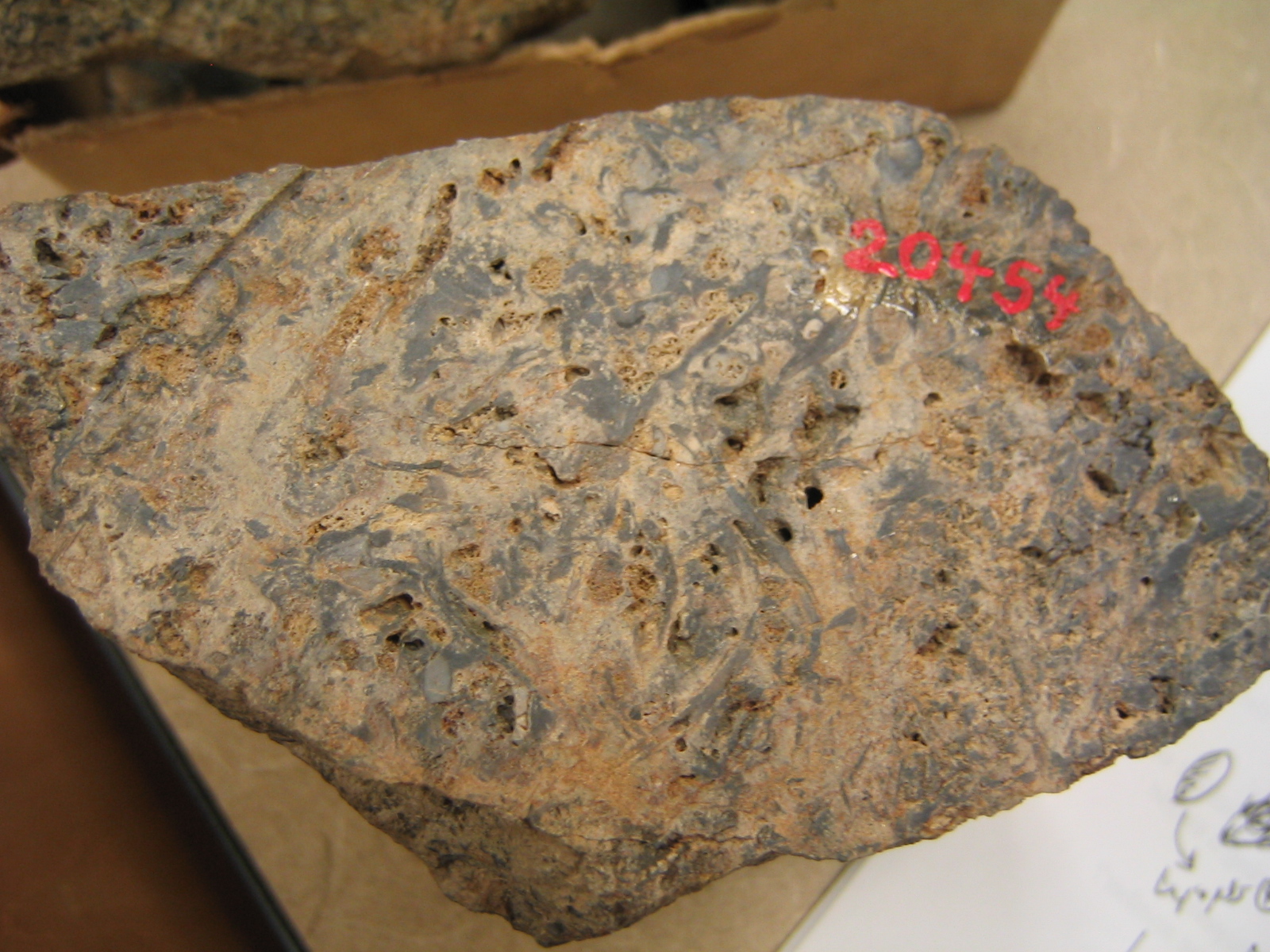
Rhynie chert

The Rhynie chert is a Lower Devonian sedimentary deposit exhibiting extraordinary fossil detail or completeness (a Lagerstätte). It is exposed near the...

A97 road

The A97 is a major road in Aberdeenshire, Scotland. A very short section of the road is within Moray == Route == It runs south from Banff on the north...

Nearby Amenities

Located within 500m of 57.331965,-2.815605
Corrstone Wood stone circle
Alt Name: Corr Stone
Archaeological Site: megalith
Historic: archaeological_site
Megalith Type: stone_circle
Ref Canmore: 17657
Wikidata: Q56667396
Lat/Long: 57.332026/-2.8154704
Power: pole
Lat/Long: 57.3326158/-2.8233835
Power: pole
Lat/Long: 57.327552/-2.8165637
Power: pole
Lat/Long: 57.327864/-2.8171088
Power: pole
Lat/Long: 57.3284348/-2.8196375
Power: pole
Lat/Long: 57.3287795/-2.8199631
Power: pole
Lat/Long: 57.3291269/-2.820266
Power: pole
Lat/Long: 57.3295342/-2.8206369
Power: pole
Lat/Long: 57.3317915/-2.8117888
Power: pole
Lat/Long: 57.3312357/-2.812551
Power: pole
Lat/Long: 57.330729/-2.81324
Power: pole
Lat/Long: 57.3301813/-2.8139844
Power: pole
Lat/Long: 57.3297767/-2.8145119
Power: pole
Lat/Long: 57.3293054/-2.815163
Power: pole
Lat/Long: 57.3288544/-2.8157687
Power: pole
Lat/Long: 57.3284117/-2.8163769
The data included in this document is from www.openstreetmap.org. The data is made available under ODbL.

Have you been to Corrstone Wood?

Leave your review of Corrstone Wood below (or comments, questions and feedback).