Hallhead Plantation
Wood, Forest in Aberdeenshire
Scotland
Hallhead Plantation
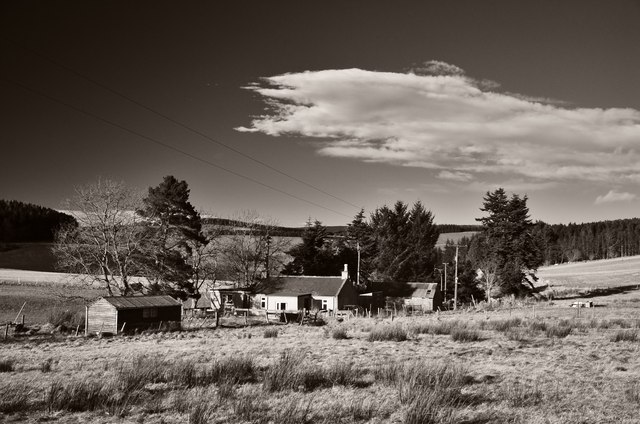
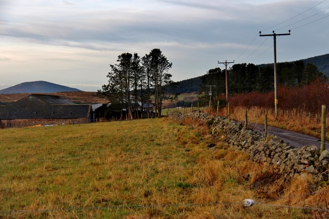
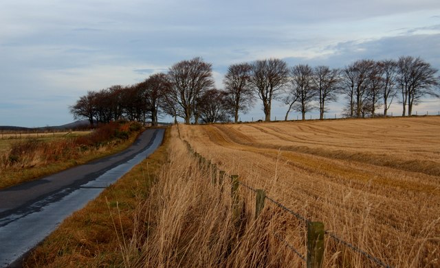
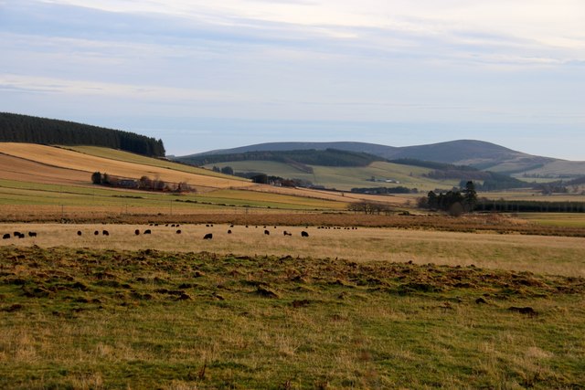
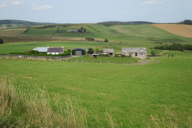
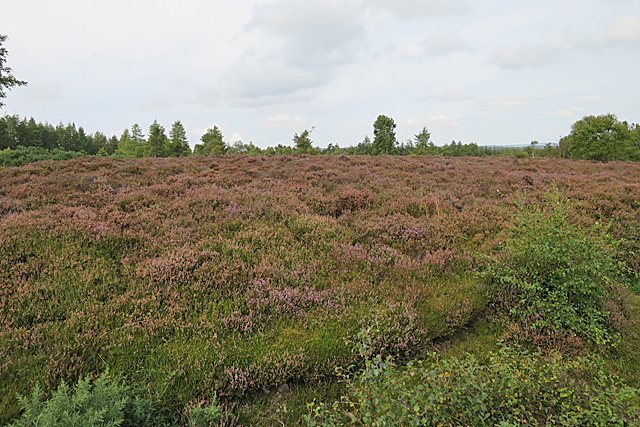
Hallhead Plantation is a wood located in Aberdeenshire, Scotland. It covers an area of approximately 200 hectares and is situated about 8 miles west of the town of Alford. The plantation is primarily composed of coniferous trees, particularly Sitka spruce, which were planted in the mid-20th century for timber production.
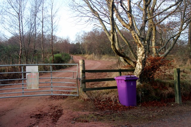
The woodland is well-managed and maintained by the Forestry and Land Scotland, ensuring a healthy and sustainable environment for the trees and wildlife. It is a popular destination for outdoor enthusiasts, offering a range of recreational activities such as walking, cycling, and horse riding. There are several well-marked trails throughout the plantation, providing visitors with the opportunity to explore the diverse landscape and enjoy the peaceful surroundings.
Hallhead Plantation is home to a variety of wildlife species. The dense forest provides a suitable habitat for birds like goldcrests, crossbills, and woodpeckers. Deer can also be spotted roaming through the woodland, adding to the natural beauty of the area. Additionally, the plantation offers a valuable source of timber, contributing to the local economy.
The plantation is easily accessible, with a car park available for visitors. It is recommended to check the local weather conditions before visiting, as the terrain can become muddy and slippery during periods of rain. Overall, Hallhead Plantation is a picturesque woodland that offers a tranquil escape for nature lovers and outdoor enthusiasts alike.
If you have any feedback on the listing, please let us know in the comments section below.
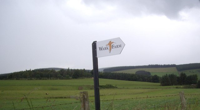
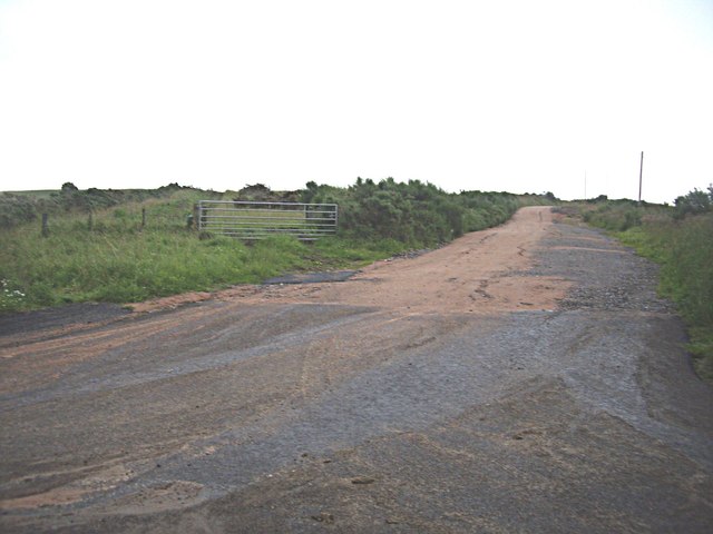
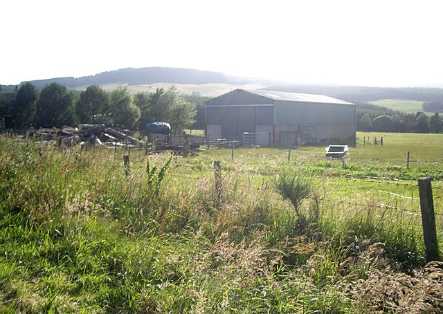
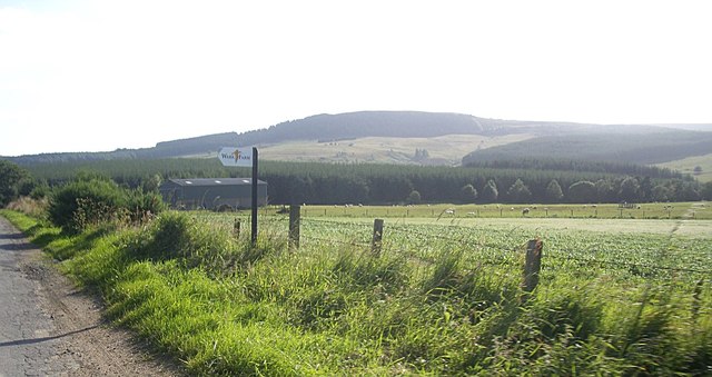
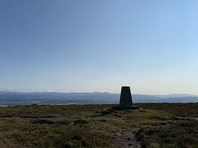
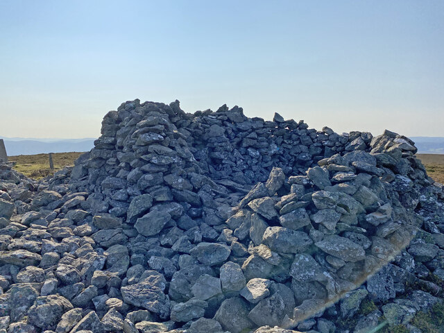
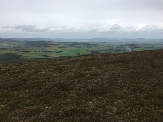
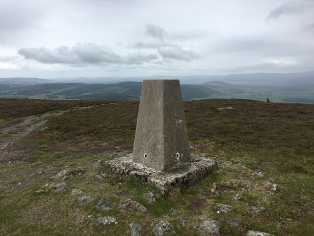
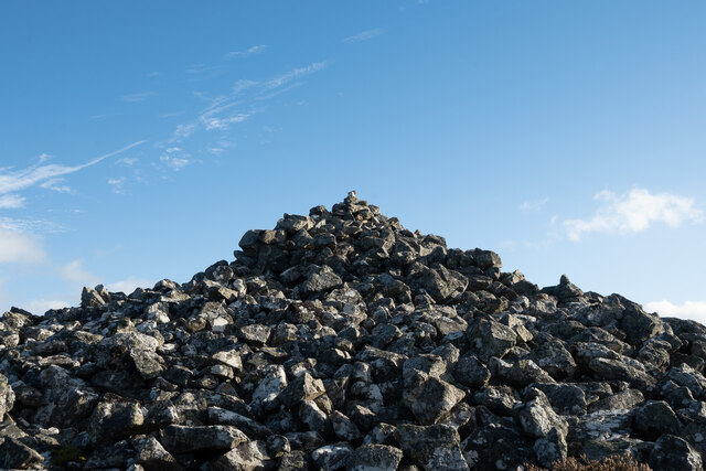
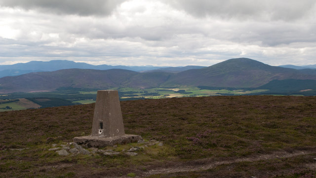
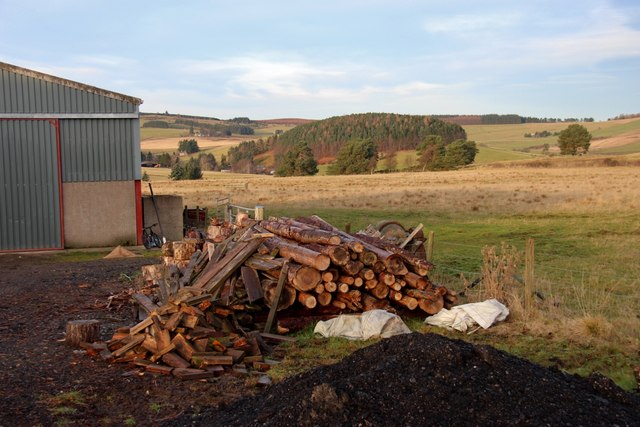
Hallhead Plantation Images
Images are sourced within 2km of 57.165906/-2.81206 or Grid Reference NJ5008. Thanks to Geograph Open Source API. All images are credited.
Hallhead Plantation is located at Grid Ref: NJ5008 (Lat: 57.165906, Lng: -2.81206)
Unitary Authority: Aberdeenshire
Police Authority: North East
What 3 Words
///threading.nurtures.brings. Near Alford, Aberdeenshire
Nearby Locations
Related Wikis

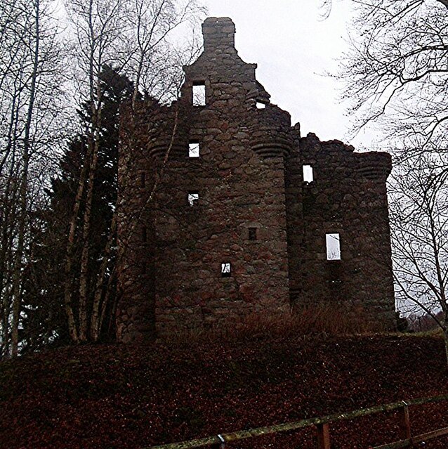
Cushnie Castle
Cushnie Castle was a 16th-century tower house, about 6 miles (9.7 km) south west of Alford, Aberdeenshire, Scotland, near Cushnie Burn, in the Glen of...
Corse Castle
Corse Castle near Lumphanan in Aberdeenshire, now ruined, was a fortress and centre of a landed estate in the north-east of Scotland. The present castle...

Tarland
Tarland (Gaelic: Turlann) is a village in Aberdeenshire, Scotland and is located 5 miles (8 km) northwest of Aboyne, and 30 miles (50 km) west of Aberdeen...

Tomnaverie stone circle
Tomnaverie stone circle is a recumbent stone circle set on the top of a small hill in lowland northeast Scotland. Construction started from about 2500...
Nearby Amenities
Located within 500m of 57.165906,-2.81206Have you been to Hallhead Plantation?
Leave your review of Hallhead Plantation below (or comments, questions and feedback).