Primrose Wood

Wood, Forest in Roxburghshire

Scotland

Primrose Wood

A View Across Stobs Camp Viewed from a ridge over the Barnes Burn, this small equipment drying building was adjacent to the 'bathing pond' - now occupied by scrub and reeds, the periphery of which can be noted to the bottom right.

For a close up of the building, see <a href="https://www.geograph.org.uk/photo/3752223">NT5009 : Near Stobs Camp Bathing Pond</a>
A View Across Stobs Camp Credit: James T M Towill

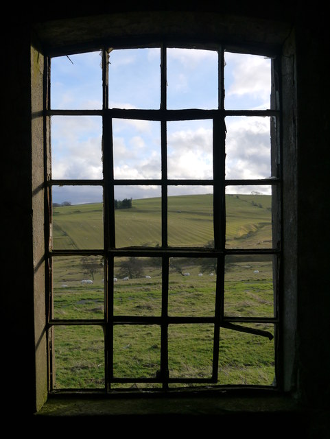
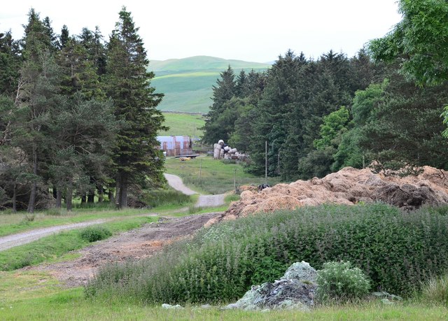
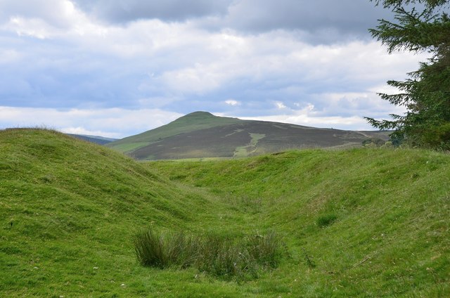
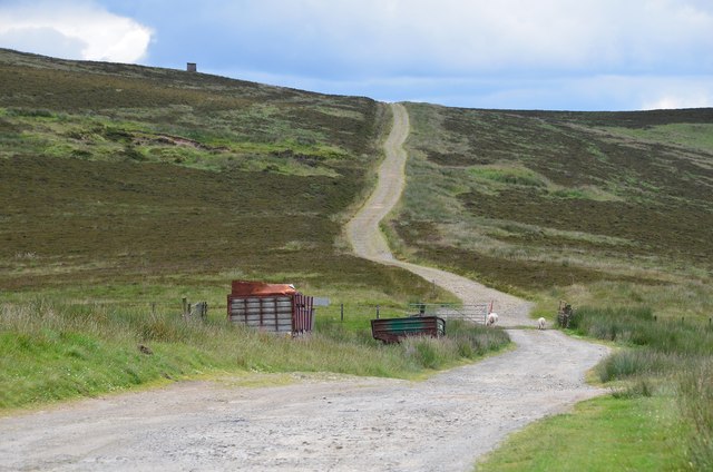
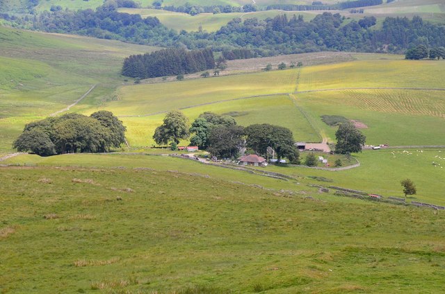
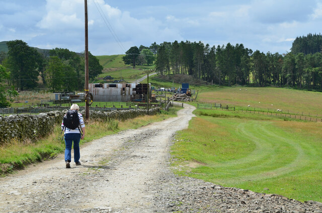
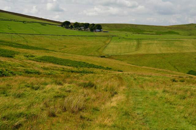
Primrose Wood, located in Roxburghshire, is a breathtaking forest spanning over a vast area. This woodland is a true haven for nature enthusiasts, offering a serene and tranquil escape from the hustle and bustle of everyday life.

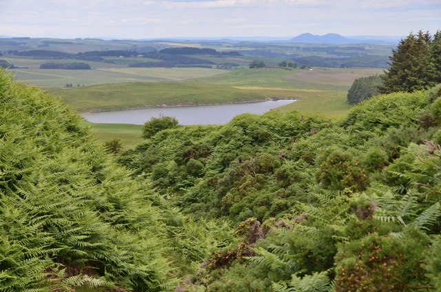
The wood is characterized by its diverse range of tree species, including oak, beech, and birch, which create a rich and vibrant tapestry of colors throughout the year. The forest floor is adorned with a carpet of lush green moss and a myriad of wildflowers, including primroses, from which the wood takes its name.

Primrose Wood is home to a variety of wildlife, making it a popular spot for birdwatchers and nature photographers. Visitors may catch a glimpse of native species such as red squirrels, roe deer, and a wide array of bird species, including woodpeckers and owls.

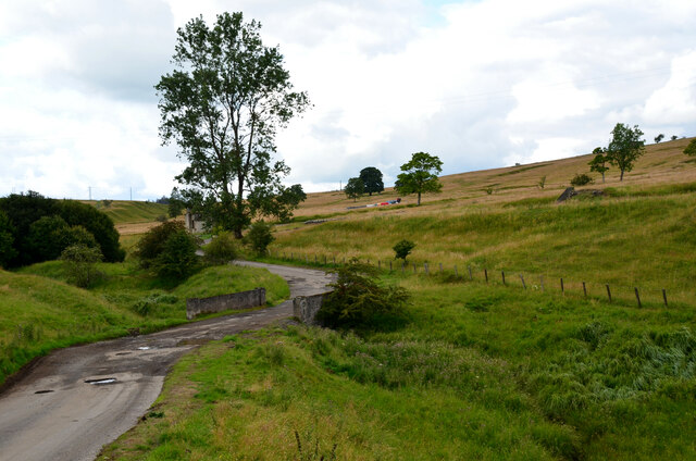
The wood offers several walking trails, allowing visitors to explore its beauty at their own pace. These trails wind through the trees, offering breathtaking views of the surrounding countryside and the nearby River Teviot. Along the way, benches and picnic spots are strategically placed, inviting visitors to take a moment to soak in the serenity of the surroundings.

For those seeking a deeper connection with nature, Primrose Wood also offers educational programs and guided tours. These initiatives aim to raise awareness about the importance of conservation and provide insight into the delicate ecosystem that thrives within the wood.

Primrose Wood, Roxburghshire, is truly a hidden gem, offering a sanctuary for both nature lovers and anyone seeking respite in the beauty of the natural world.

If you have any feedback on the listing, please let us know in the comments section below.

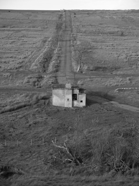
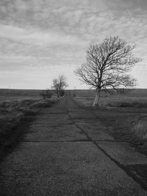
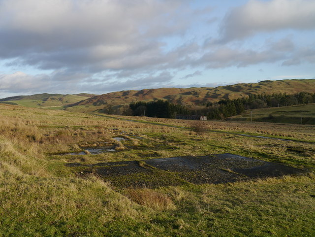
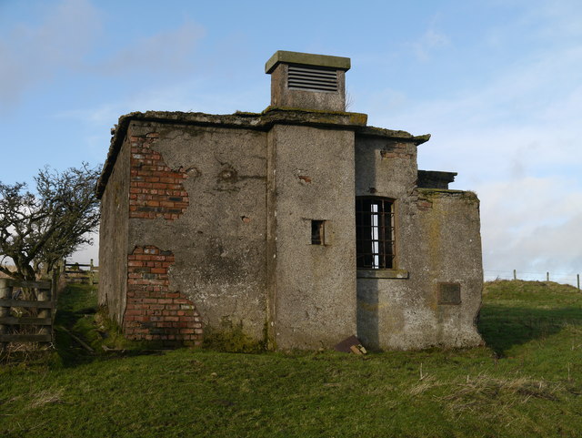
Primrose Wood Images

Images are sourced within 2km of 55.361652/-2.7795838 or Grid Reference NT5007. Thanks to Geograph Open Source API. All images are credited.

A View Across Stobs Camp Viewed from a ridge over the Barnes Burn, this small equipment drying building was adjacent to the 'bathing pond' - now occupied by scrub and reeds, the periphery of which can be noted to the bottom right.

For a close up of the building, see <a href="https://www.geograph.org.uk/photo/3752223">NT5009 : Near Stobs Camp Bathing Pond</a>
A View Across Stobs Camp
Viewed from a ridge over the Barnes Burn, this small equipment drying building was adjacent to the 'bathing pond' - now occupied by scrub and reeds, the periphery of which can be noted to the bottom right. For a close up of the building, see NT5009 : Near Stobs Camp Bathing Pond
Access Road At Stobs Camp A bleak place, once a hive of military activity.
Access Road At Stobs Camp
A bleak place, once a hive of military activity.
A View Across Stobs Camp A view across the camp site, with concrete foundations prominent in the foreground.
A View Across Stobs Camp
A view across the camp site, with concrete foundations prominent in the foreground.
Drying Building One of two remaining equipment drying buildings at the former camp site.
Drying Building
One of two remaining equipment drying buildings at the former camp site.
A Window With A View A view out of a drying building window across the remains of the camp site.  For an external view of the building, see <a href="https://www.geograph.org.uk/photo/3789565">NT4909 : Drying Building</a>
A Window With A View
A view out of a drying building window across the remains of the camp site. For an external view of the building, see NT4909 : Drying Building
Track on Newton Hill The track up from Barns passes through shelter belts here.
Track on Newton Hill
The track up from Barns passes through shelter belts here.
Settlement site, Newton Hill A roughly circular area has been enclosed by ramparts, now close to trees in a shelter belt to the NW. There are also remains of another settlement with hut circles on White Knowe, about 400m to the W. The summit in view is Penchrise Pen.
Settlement site, Newton Hill
A roughly circular area has been enclosed by ramparts, now close to trees in a shelter belt to the NW. There are also remains of another settlement with hut circles on White Knowe, about 400m to the W. The summit in view is Penchrise Pen.
Track over Penchrise Pen The track from Barns here heads south over the flank of Penchrise Pen. There is also a track down to Penchrise farm to the left just past the cattle grid. The structure on the skyline appears to be a sentry box or guard post connected with the nearby Stobs Military Camp.
Track over Penchrise Pen
The track from Barns here heads south over the flank of Penchrise Pen. There is also a track down to Penchrise farm to the left just past the cattle grid. The structure on the skyline appears to be a sentry box or guard post connected with the nearby Stobs Military Camp.
Barnes Loch from Penchrise This bracken-choked burn drains from the N side of Penchrise Pen. Note the Eildon Hills in the background.
Barnes Loch from Penchrise
This bracken-choked burn drains from the N side of Penchrise Pen. Note the Eildon Hills in the background.
Penchrise farm A hill farm seen from the nearby summit of Penchrise Pen.
Penchrise farm
A hill farm seen from the nearby summit of Penchrise Pen.
Bridge over Barnes Burn, Stobs Camp An access road to the former camp. The vehicles just in view R of centre are probably associated with installation of a new power line crossing the area.
Bridge over Barnes Burn, Stobs Camp
An access road to the former camp. The vehicles just in view R of centre are probably associated with installation of a new power line crossing the area.
Building near Barnes Burn, Stobs Camp Compare with James Towill's photograph <a href="https://www.geograph.org.uk/photo/3752223">NT5009 : Near Stobs Camp Bathing Pond</a> taken 10 years ago.

The camp was on land bought from Stobs Estate in 1902 and was in use for military training and later for internment of Prisoners of War in WW1. Prisoners were housed in 80 huts capable of accommodating 4,500 men in total. A bakery, post office, hospital, mortuary and workshops were among the camp’s facilities and the POWs produced a newspaper ‘Stobsiade’. The camp’s role declined in the 1920s until it was used for limited training in WW2. Postwar resettlement of Polish troops and Territorial Army training took place until the camp closed in the late 1950s. 

The camp’s history has been investigated recently by the Stobs Camp Project under Archaeology Scotland with local volunteers, with much material on their website <span class="nowrap"><a title="http://www.stobscamp.org/" rel="nofollow ugc noopener" href="http://www.stobscamp.org/">Link</a><img style="margin-left:2px;" alt="External link" title="External link - shift click to open in new window" src="https://s1.geograph.org.uk/img/external.png" width="10" height="10"/></span>  including the booklet ‘Stobs Camp Project’ from which the above details have been taken.
Building near Barnes Burn, Stobs Camp
Compare with James Towill's photograph NT5009 : Near Stobs Camp Bathing Pond taken 10 years ago. The camp was on land bought from Stobs Estate in 1902 and was in use for military training and later for internment of Prisoners of War in WW1. Prisoners were housed in 80 huts capable of accommodating 4,500 men in total. A bakery, post office, hospital, mortuary and workshops were among the camp’s facilities and the POWs produced a newspaper ‘Stobsiade’. The camp’s role declined in the 1920s until it was used for limited training in WW2. Postwar resettlement of Polish troops and Territorial Army training took place until the camp closed in the late 1950s. The camp’s history has been investigated recently by the Stobs Camp Project under Archaeology Scotland with local volunteers, with much material on their website LinkExternal link including the booklet ‘Stobs Camp Project’ from which the above details have been taken.
Hut at Stobs Camp The last remaining barrack hut at Stobs Camp. In its heyday as a POW camp in World War 1 there were 80 huts.

The camp was on land bought from Stobs Estate in 1902 and was in use for military training and later for internment of Prisoners of War in WW1. Prisoners were housed in 80 huts capable of accommodating 4,500 men in total. A bakery, post office, hospital, mortuary and workshops were among the camp’s facilities and the POWs produced a newspaper ‘Stobsiade’. The camp’s role declined in the 1920s until it was used for limited training in WW2. Postwar resettlement of Polish troops and Territorial Army training took place until the camp closed in the late 1950s. 

The camp’s history has been investigated recently by the Stobs Camp Project under Archaeology Scotland with local volunteers, with much material on their website <span class="nowrap"><a title="www.stobscamp.org" rel="nofollow ugc noopener" href="http://www.stobscamp.org">Link</a><img style="margin-left:2px;" alt="External link" title="External link - shift click to open in new window" src="https://s1.geograph.org.uk/img/external.png" width="10" height="10"/></span> including the booklet ‘Stobs Camp Project’ from which the above details have been taken.
Hut at Stobs Camp
The last remaining barrack hut at Stobs Camp. In its heyday as a POW camp in World War 1 there were 80 huts. The camp was on land bought from Stobs Estate in 1902 and was in use for military training and later for internment of Prisoners of War in WW1. Prisoners were housed in 80 huts capable of accommodating 4,500 men in total. A bakery, post office, hospital, mortuary and workshops were among the camp’s facilities and the POWs produced a newspaper ‘Stobsiade’. The camp’s role declined in the 1920s until it was used for limited training in WW2. Postwar resettlement of Polish troops and Territorial Army training took place until the camp closed in the late 1950s. The camp’s history has been investigated recently by the Stobs Camp Project under Archaeology Scotland with local volunteers, with much material on their website LinkExternal link including the booklet ‘Stobs Camp Project’ from which the above details have been taken.
Closer view of the barrack hut at Stobs Camp The camp was on land bought from Stobs Estate in 1902 and was in use for military training and later for internment of Prisoners of War in WW1. Prisoners were housed in 80 huts capable of accommodating 4,500 men in total. A bakery, post office, hospital, mortuary and workshops were among the camp’s facilities and the POWs produced a newspaper ‘Stobsiade’. The camp’s role declined in the 1920s until it was used for limited training in WW2. Postwar resettlement of Polish troops and Territorial Army training took place until the camp closed in the late 1950s. 

The camp’s history has been investigated recently by the Stobs Camp Project under Archaeology Scotland with local volunteers, with much material on their website <span class="nowrap"><a title="www.stobscamp.org" rel="nofollow ugc noopener" href="http://www.stobscamp.org">Link</a><img style="margin-left:2px;" alt="External link" title="External link - shift click to open in new window" src="https://s1.geograph.org.uk/img/external.png" width="10" height="10"/></span> including the booklet ‘Stobs Camp Project’ from which the above details have been taken.
Closer view of the barrack hut at Stobs Camp
The camp was on land bought from Stobs Estate in 1902 and was in use for military training and later for internment of Prisoners of War in WW1. Prisoners were housed in 80 huts capable of accommodating 4,500 men in total. A bakery, post office, hospital, mortuary and workshops were among the camp’s facilities and the POWs produced a newspaper ‘Stobsiade’. The camp’s role declined in the 1920s until it was used for limited training in WW2. Postwar resettlement of Polish troops and Territorial Army training took place until the camp closed in the late 1950s. The camp’s history has been investigated recently by the Stobs Camp Project under Archaeology Scotland with local volunteers, with much material on their website LinkExternal link including the booklet ‘Stobs Camp Project’ from which the above details have been taken.
Barns House, Stobs Camp Since my last visit in 2014 the house has been renovated with new windows and even solar panels - compare with <a href="https://www.geograph.org.uk/photo/4053469">NT5009 : Derelict house at Barns</a>. Note that the house name is shown as Barnes, in common with the Barnes Burn.

The camp was on land bought from Stobs Estate in 1902 and was in use for military training and later for internment of Prisoners of War in WW1. Prisoners were housed in 80 huts capable of accommodating 4,500 men in total. A bakery, post office, hospital, mortuary and workshops were among the camp’s facilities and the POWs produced a newspaper ‘Stobsiade’. The camp’s role declined in the 1920s until it was used for limited training in WW2. Postwar resettlement of Polish troops and Territorial Army training took place until the camp closed in the late 1950s. 

The camp’s history has been investigated recently by the Stobs Camp Project under Archaeology Scotland with local volunteers, with much material on their website <span class="nowrap"><a title="www.stobscamp.org" rel="nofollow ugc noopener" href="http://www.stobscamp.org">Link</a><img style="margin-left:2px;" alt="External link" title="External link - shift click to open in new window" src="https://s1.geograph.org.uk/img/external.png" width="10" height="10"/></span> including the booklet ‘Stobs Camp Project’ from which the above details have been taken.
Barns House, Stobs Camp
Since my last visit in 2014 the house has been renovated with new windows and even solar panels - compare with NT5009 : Derelict house at Barns. Note that the house name is shown as Barnes, in common with the Barnes Burn. The camp was on land bought from Stobs Estate in 1902 and was in use for military training and later for internment of Prisoners of War in WW1. Prisoners were housed in 80 huts capable of accommodating 4,500 men in total. A bakery, post office, hospital, mortuary and workshops were among the camp’s facilities and the POWs produced a newspaper ‘Stobsiade’. The camp’s role declined in the 1920s until it was used for limited training in WW2. Postwar resettlement of Polish troops and Territorial Army training took place until the camp closed in the late 1950s. The camp’s history has been investigated recently by the Stobs Camp Project under Archaeology Scotland with local volunteers, with much material on their website LinkExternal link including the booklet ‘Stobs Camp Project’ from which the above details have been taken.
Ruined outbuildings, Barns Close to the renovated house and next in line for repair work?

The camp was on land bought from Stobs Estate in 1902 and was in use for military training and later for internment of Prisoners of War in WW1. Prisoners were housed in 80 huts capable of accommodating 4,500 men in total. A bakery, post office, hospital, mortuary and workshops were among the camp’s facilities and the POWs produced a newspaper ‘Stobsiade’. The camp’s role declined in the 1920s until it was used for limited training in WW2. Postwar resettlement of Polish troops and Territorial Army training took place until the camp closed in the late 1950s. 

The camp’s history has been investigated recently by the Stobs Camp Project under Archaeology Scotland with local volunteers, with much material on their website <span class="nowrap"><a title="www.stobscamp.org" rel="nofollow ugc noopener" href="http://www.stobscamp.org">Link</a><img style="margin-left:2px;" alt="External link" title="External link - shift click to open in new window" src="https://s1.geograph.org.uk/img/external.png" width="10" height="10"/></span> including the booklet ‘Stobs Camp Project’ from which the above details have been taken.
Ruined outbuildings, Barns
Close to the renovated house and next in line for repair work? The camp was on land bought from Stobs Estate in 1902 and was in use for military training and later for internment of Prisoners of War in WW1. Prisoners were housed in 80 huts capable of accommodating 4,500 men in total. A bakery, post office, hospital, mortuary and workshops were among the camp’s facilities and the POWs produced a newspaper ‘Stobsiade’. The camp’s role declined in the 1920s until it was used for limited training in WW2. Postwar resettlement of Polish troops and Territorial Army training took place until the camp closed in the late 1950s. The camp’s history has been investigated recently by the Stobs Camp Project under Archaeology Scotland with local volunteers, with much material on their website LinkExternal link including the booklet ‘Stobs Camp Project’ from which the above details have been taken.
Track to Newton Hill The track passes the site of the old Stobs military camp to head SW past Penchrise Pen.
Track to Newton Hill
The track passes the site of the old Stobs military camp to head SW past Penchrise Pen.
Track east of the Penchrise Burn A track on the grassy moorland between the Penchrise Burn and Shankend. Penchrise farm is in the background.
Track east of the Penchrise Burn
A track on the grassy moorland between the Penchrise Burn and Shankend. Penchrise farm is in the background.
Show me another place!

Primrose Wood is located at Grid Ref: NT5007 (Lat: 55.361652, Lng: -2.7795838)

Unitary Authority: The Scottish Borders

Police Authority: The Lothians and Scottish Borders

What 3 Words

///twisty.melts.homeward. Near Hawick, Scottish Borders

Related Wikis

Stobs Military Camp

Stobs Camp is a military and internment camp located just outside Hawick in the Scottish Borders. It is an internationally important site due to its level...

Stobs railway station

Stobs railway station served the hamlet of Barnes, Scottish Borders, Scotland from 1862 to 1969 on the Border Union Railway. == History == The station...

Shankend

Shankend Manor was a sixteenth-century mansion located some six miles (ten kilometres) south of Hawick, close to Whitrope Siding in Scotland. It was constructed...

Shankend railway station

Shankend railway station served the hamlet of Shankend, Scottish Borders, Scotland from 1862 to 1969 on the Border Union Railway. == History == The station...

Nearby Amenities

Located within 500m of 55.361652,-2.7795838
Primrose Cottages
Place: locality
Lat/Long: 55.3593344/-2.7804581
The data included in this document is from www.openstreetmap.org. The data is made available under ODbL.

Have you been to Primrose Wood?

Leave your review of Primrose Wood below (or comments, questions and feedback).