Kinghorn Woods

Wood, Forest in Roxburghshire

Scotland

Kinghorn Woods

A View Across Stobs Camp Viewed from a ridge over the Barnes Burn, this small equipment drying building was adjacent to the 'bathing pond' - now occupied by scrub and reeds, the periphery of which can be noted to the bottom right.

For a close up of the building, see <a href="https://www.geograph.org.uk/photo/3752223">NT5009 : Near Stobs Camp Bathing Pond</a>
A View Across Stobs Camp Credit: James T M Towill

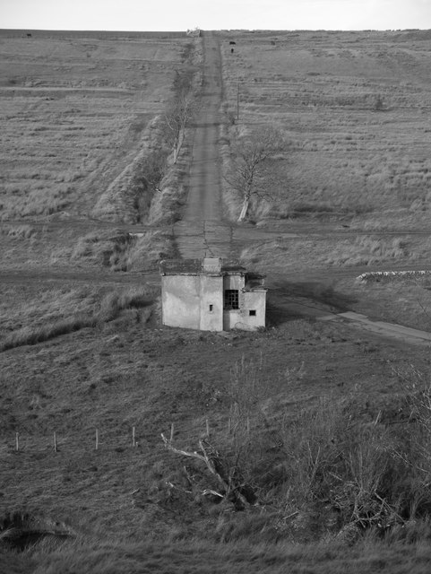
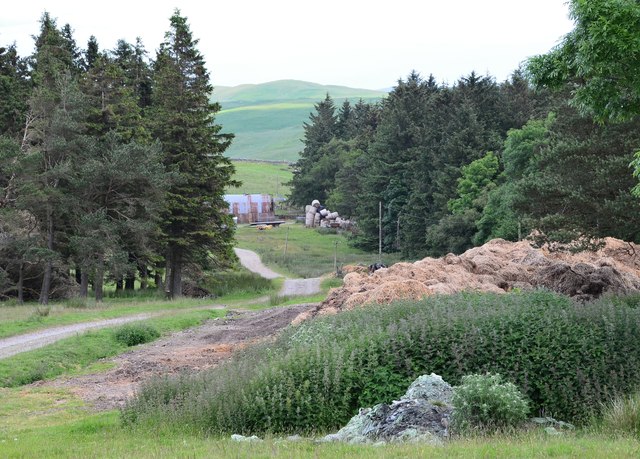
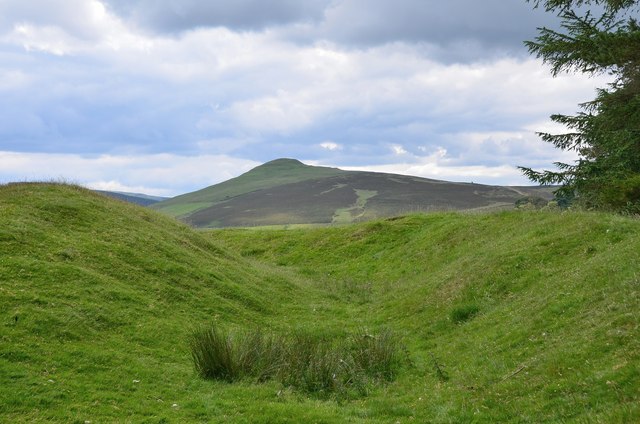
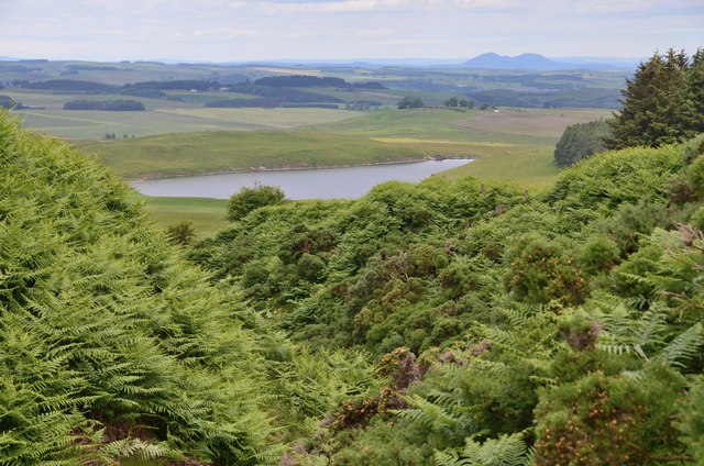
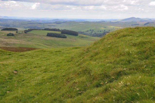
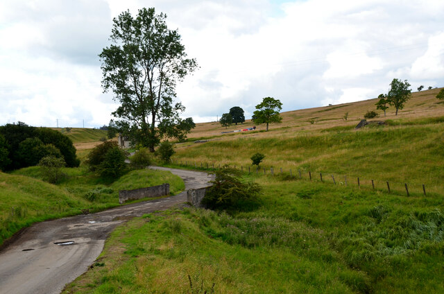
Kinghorn Woods is a picturesque woodland located in the county of Roxburghshire, Scotland. Spanning an area of approximately 200 acres, it is a popular destination for nature enthusiasts and hikers alike. The woods are situated at an elevation of around 500 feet above sea level, providing visitors with breathtaking views of the surrounding landscape.

The woodland is predominantly composed of native tree species, including oak, beech, and birch. This diverse mix of trees creates a vibrant and ever-changing display of colors throughout the year, from the lush greens of spring and summer to the fiery hues of autumn.

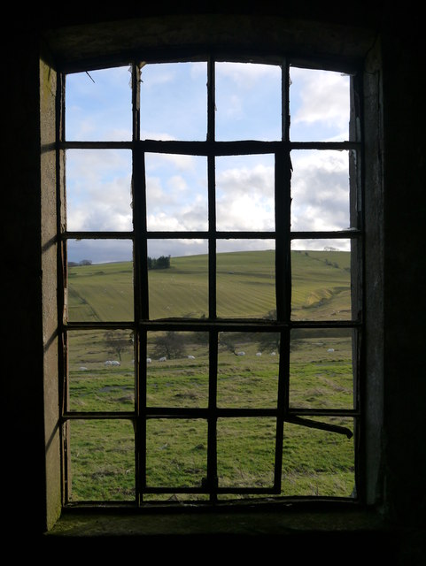
Kinghorn Woods is home to a rich variety of wildlife, making it a haven for nature lovers. Visitors may catch glimpses of red squirrels, roe deer, and a wide array of bird species, including woodpeckers and owls. The tranquil atmosphere of the woods, with its gently flowing streams and peaceful glades, provides the perfect habitat for these creatures.

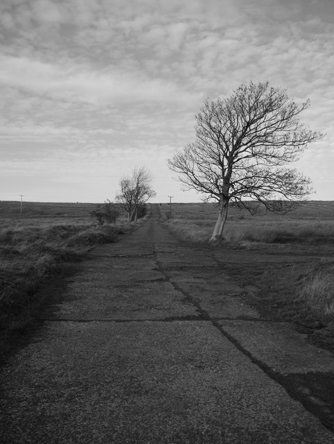
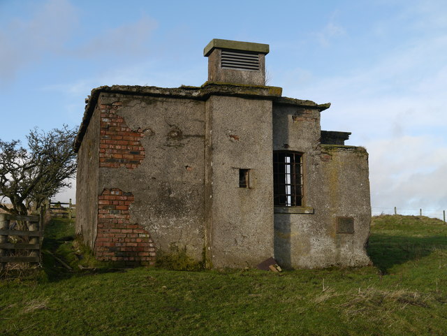
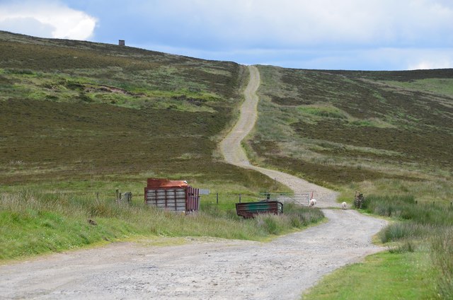
The woods offer a network of well-maintained trails, allowing visitors to explore the area at their own pace. These paths lead through ancient woodland, offering glimpses into the region's history and heritage. Along the way, visitors may stumble upon remnants of old settlements or archaeological sites, adding a sense of intrigue to their journey.

For those seeking a peaceful retreat in nature, Kinghorn Woods in Roxburghshire is a must-visit destination. Whether it is a leisurely stroll, a picnic among the trees, or a more adventurous hike, this woodland provides a serene and captivating experience for all who venture within its boundaries.

If you have any feedback on the listing, please let us know in the comments section below.

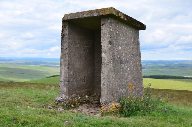
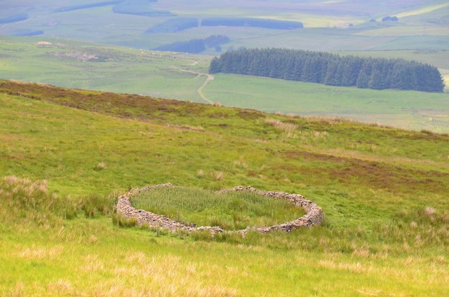
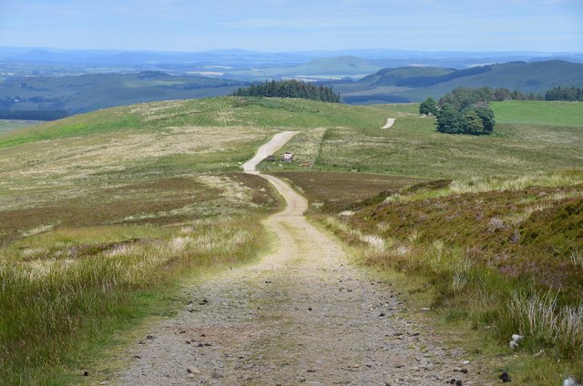
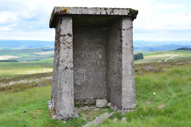
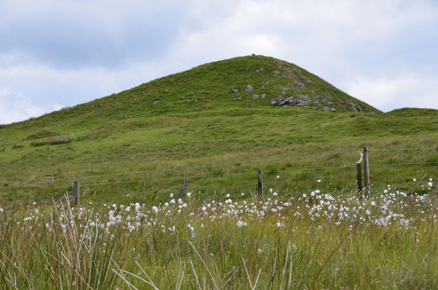
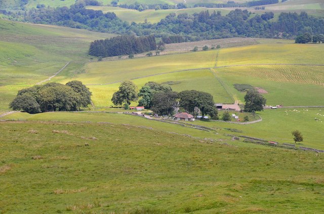
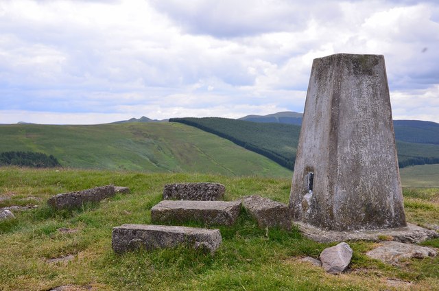
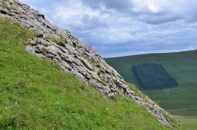
Kinghorn Woods Images

Images are sourced within 2km of 55.358962/-2.7884432 or Grid Reference NT5007. Thanks to Geograph Open Source API. All images are credited.

A View Across Stobs Camp Viewed from a ridge over the Barnes Burn, this small equipment drying building was adjacent to the 'bathing pond' - now occupied by scrub and reeds, the periphery of which can be noted to the bottom right.

For a close up of the building, see <a href="https://www.geograph.org.uk/photo/3752223">NT5009 : Near Stobs Camp Bathing Pond</a>
A View Across Stobs Camp
Viewed from a ridge over the Barnes Burn, this small equipment drying building was adjacent to the 'bathing pond' - now occupied by scrub and reeds, the periphery of which can be noted to the bottom right. For a close up of the building, see NT5009 : Near Stobs Camp Bathing Pond
Access Road At Stobs Camp A bleak place, once a hive of military activity.
Access Road At Stobs Camp
A bleak place, once a hive of military activity.
Drying Building One of two remaining equipment drying buildings at the former camp site.
Drying Building
One of two remaining equipment drying buildings at the former camp site.
A Window With A View A view out of a drying building window across the remains of the camp site.  For an external view of the building, see <a href="https://www.geograph.org.uk/photo/3789565">NT4909 : Drying Building</a>
A Window With A View
A view out of a drying building window across the remains of the camp site. For an external view of the building, see NT4909 : Drying Building
Track on Newton Hill The track up from Barns passes through shelter belts here.
Track on Newton Hill
The track up from Barns passes through shelter belts here.
Settlement site, Newton Hill A roughly circular area has been enclosed by ramparts, now close to trees in a shelter belt to the NW. There are also remains of another settlement with hut circles on White Knowe, about 400m to the W. The summit in view is Penchrise Pen.
Settlement site, Newton Hill
A roughly circular area has been enclosed by ramparts, now close to trees in a shelter belt to the NW. There are also remains of another settlement with hut circles on White Knowe, about 400m to the W. The summit in view is Penchrise Pen.
Track over Penchrise Pen The track from Barns here heads south over the flank of Penchrise Pen. There is also a track down to Penchrise farm to the left just past the cattle grid. The structure on the skyline appears to be a sentry box or guard post connected with the nearby Stobs Military Camp.
Track over Penchrise Pen
The track from Barns here heads south over the flank of Penchrise Pen. There is also a track down to Penchrise farm to the left just past the cattle grid. The structure on the skyline appears to be a sentry box or guard post connected with the nearby Stobs Military Camp.
Barnes Loch from Penchrise This bracken-choked burn drains from the N side of Penchrise Pen. Note the Eildon Hills in the background.
Barnes Loch from Penchrise
This bracken-choked burn drains from the N side of Penchrise Pen. Note the Eildon Hills in the background.
Concrete shelter near Penchrise Pen Presumably a relic of the Stobs Military Camp; there is an identical structure about half a km to the S, shown in <a href="https://www.geograph.org.uk/photo/258027">NT4806 : A concrete shelter near Penchrise Pen</a>.
Concrete shelter near Penchrise Pen
Presumably a relic of the Stobs Military Camp; there is an identical structure about half a km to the S, shown in NT4806 : A concrete shelter near Penchrise Pen.
Sheepfold on White Hill A traditional style circular drystane sheepfold seen from the track on Penchrise Pen.
Sheepfold on White Hill
A traditional style circular drystane sheepfold seen from the track on Penchrise Pen.
Track on Penchrise Pen Looking back down the track towards White Knowe and Barns.
Track on Penchrise Pen
Looking back down the track towards White Knowe and Barns.
Shelter on Penchrise Pen A twin to the structure shown in <a href="https://www.geograph.org.uk/photo/4052148">NT4807 : Concrete shelter near Penchrise Pen</a>, about half a km to the NW.
Shelter on Penchrise Pen
A twin to the structure shown in NT4807 : Concrete shelter near Penchrise Pen, about half a km to the NW.
Cotton grass by the summit of Penchrise Pen A boggy area just below the summit cone and ramparts of the hill fort. There is a gate in the fence, though it is spanned by a strand of barbed wire.
Cotton grass by the summit of Penchrise Pen
A boggy area just below the summit cone and ramparts of the hill fort. There is a gate in the fence, though it is spanned by a strand of barbed wire.
Penchrise farm A hill farm seen from the nearby summit of Penchrise Pen.
Penchrise farm
A hill farm seen from the nearby summit of Penchrise Pen.
Summit trig pillar, Penchrise Pen Looking from this 439m summit to the twin summits of Maiden Paps (510m) and part of the extensive forest plantations in this area of the Borders. 'Pen' is from the old Welsh language once spoken in southern Scotland, describing a distinctive peak, and the name is still in use in these parts. The concrete blocks were probably from a structure connected with the Stobs Military Camp to the north.
Summit trig pillar, Penchrise Pen
Looking from this 439m summit to the twin summits of Maiden Paps (510m) and part of the extensive forest plantations in this area of the Borders. 'Pen' is from the old Welsh language once spoken in southern Scotland, describing a distinctive peak, and the name is still in use in these parts. The concrete blocks were probably from a structure connected with the Stobs Military Camp to the north.
Rock outcrop on Penchrise Pen Igneous rocks play a major part in the landscape here, with volcanic plugs, necks and lava flows having helped shape the topography we now see. The chapter entitled 'Volcanoes of the steamy wetlands' explains more in 'Death of an Ocean' by E Clarkson and B Upton, Dunedin Edinburgh, 2010.
The shelter belt in the background is Burnt Craig Wood below Stirkcleuch Height.
Rock outcrop on Penchrise Pen
Igneous rocks play a major part in the landscape here, with volcanic plugs, necks and lava flows having helped shape the topography we now see. The chapter entitled 'Volcanoes of the steamy wetlands' explains more in 'Death of an Ocean' by E Clarkson and B Upton, Dunedin Edinburgh, 2010. The shelter belt in the background is Burnt Craig Wood below Stirkcleuch Height.
Hill fort ramparts on Penchrise Pen Near the summit, looking NNE over Newton Hill to Rubers Law in the distance, right.
Hill fort ramparts on Penchrise Pen
Near the summit, looking NNE over Newton Hill to Rubers Law in the distance, right.
Bridge over Barnes Burn, Stobs Camp An access road to the former camp. The vehicles just in view R of centre are probably associated with installation of a new power line crossing the area.
Bridge over Barnes Burn, Stobs Camp
An access road to the former camp. The vehicles just in view R of centre are probably associated with installation of a new power line crossing the area.
Show me another place!

Kinghorn Woods is located at Grid Ref: NT5007 (Lat: 55.358962, Lng: -2.7884432)

Unitary Authority: The Scottish Borders

Police Authority: The Lothians and Scottish Borders

What 3 Words

///cuddled.split.riverbed. Near Hawick, Scottish Borders

Related Wikis

Stobs Military Camp

Stobs Camp is a military and internment camp located just outside Hawick in the Scottish Borders. It is an internationally important site due to its level...

Stobs railway station

Stobs railway station served the hamlet of Barnes, Scottish Borders, Scotland from 1862 to 1969 on the Border Union Railway. == History == The station...

Shankend

Shankend Manor was a sixteenth-century mansion located some six miles (ten kilometres) south of Hawick, close to Whitrope Siding in Scotland. It was constructed...

Shankend railway station

Shankend railway station served the hamlet of Shankend, Scottish Borders, Scotland from 1862 to 1969 on the Border Union Railway. == History == The station...

Nearby Amenities

Located within 500m of 55.358962,-2.7884432
The data included in this document is from www.openstreetmap.org. The data is made available under ODbL.

Have you been to Kinghorn Woods?

Leave your review of Kinghorn Woods below (or comments, questions and feedback).