Under Covert

Wood, Forest in Berwickshire

Scotland

Under Covert

The Inchkeith road Descending to Bowerhouse.
The Inchkeith road Credit: Richard Webb

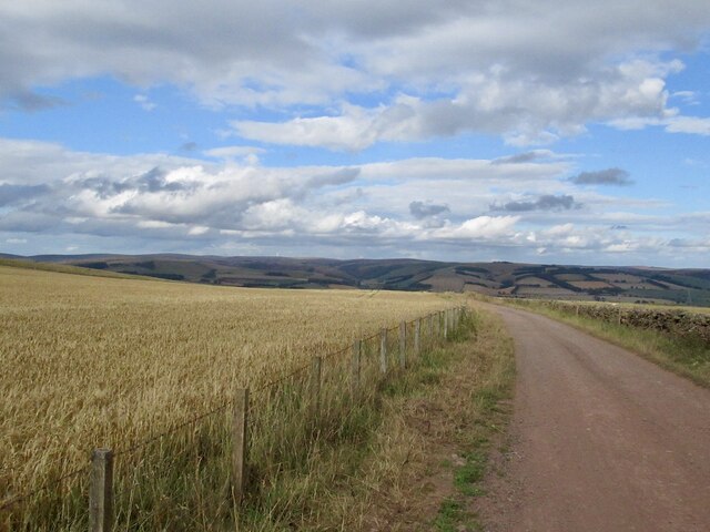
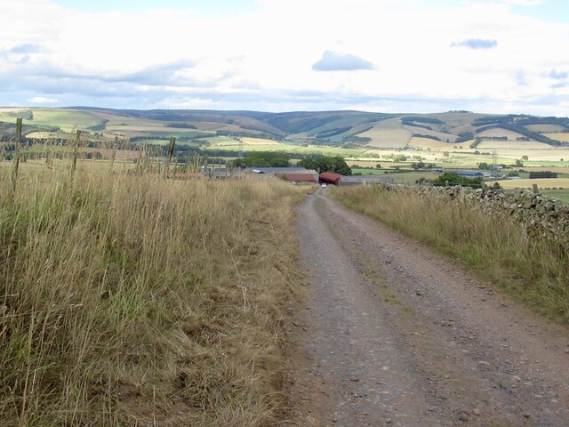
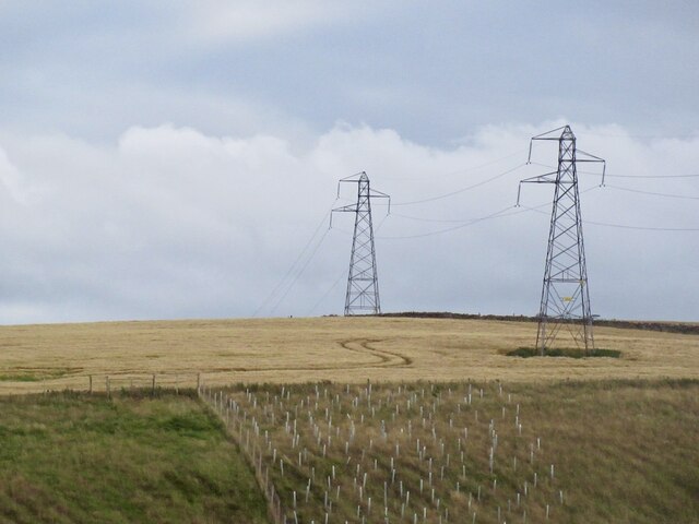
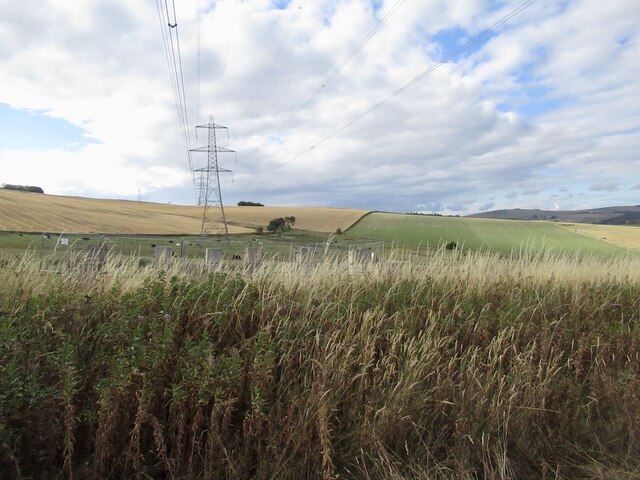
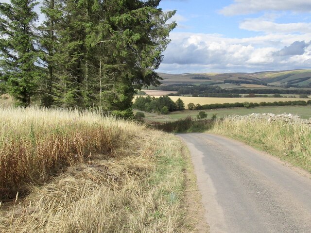
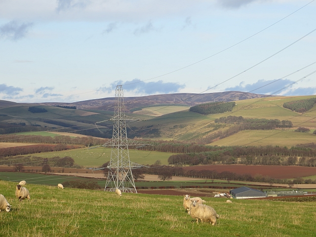
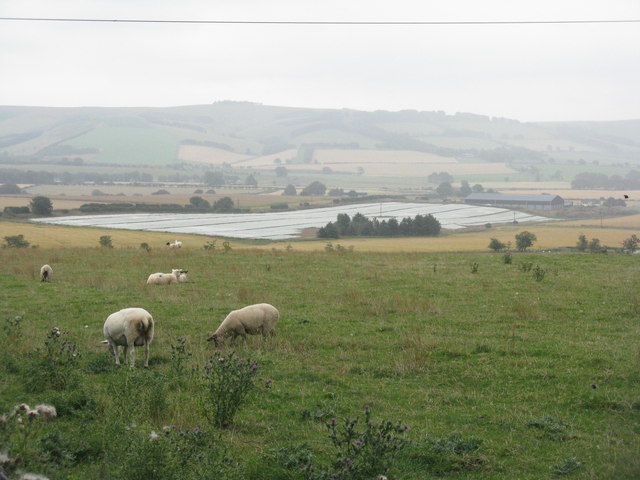
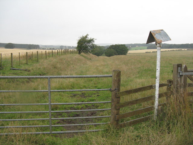
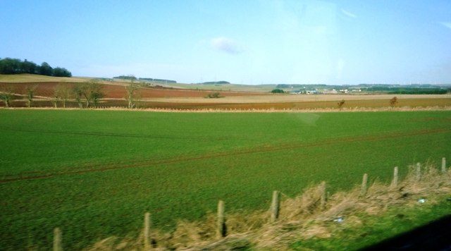
Under Covert, located in Berwickshire, Scotland, is a picturesque woodland area known for its dense forests and natural beauty. Covering an area of approximately [X] hectares, this woodland is a haven for nature enthusiasts and outdoor adventurers alike.

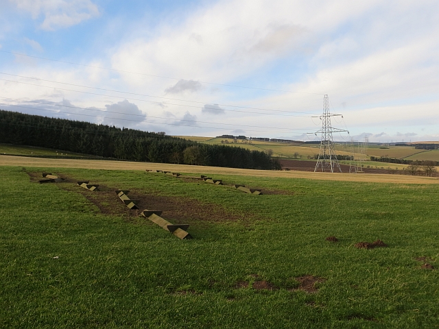
The woodland is predominantly composed of native tree species such as oak, beech, and pine, which create a rich and diverse habitat for a wide range of flora and fauna. The forest floor is carpeted with a variety of wildflowers, ferns, and mosses, providing a vibrant and colorful display throughout the seasons.

Under Covert is a popular destination for hikers and walkers, with several well-maintained trails crisscrossing the area. Visitors can explore the forest on foot, immersing themselves in the tranquil surroundings and enjoying the sights and sounds of the natural world. The trails offer different levels of difficulty, catering to both beginners and experienced hikers.

Wildlife is abundant in Under Covert, with a variety of bird species, including woodpeckers and owls, making the forest their home. Deer, foxes, and squirrels can also be spotted, adding to the charm and allure of the woodland.

The woodland is managed by a dedicated team of conservationists who work to preserve its natural beauty and protect its delicate ecosystem. They regularly conduct surveys to monitor the health of the forest and implement measures to ensure the sustainability of the woodland for future generations.

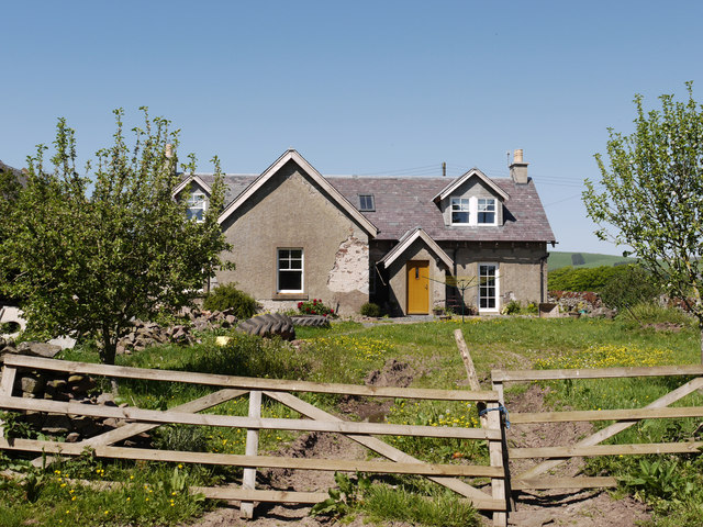
Overall, Under Covert in Berwickshire is a captivating woodland area, offering visitors a chance to connect with nature and enjoy the tranquility of the forest environment.

If you have any feedback on the listing, please let us know in the comments section below.

Under Covert Images

Images are sourced within 2km of 55.740168/-2.7871944 or Grid Reference NT5049. Thanks to Geograph Open Source API. All images are credited.

The Inchkeith road Descending to Bowerhouse.
The Inchkeith road
Descending to Bowerhouse.
Road above Bowerhouse View across Lauderdale from the Inchkeith road.
Road above Bowerhouse
View across Lauderdale from the Inchkeith road.
Power line near Lauder Between Bowerhouse and Inchkeith.
Power line near Lauder
Between Bowerhouse and Inchkeith.
Power line, Bowerhouse One of two running along the ridge west of Lauder. This one is currently being refurbished and connects with the substation at Eccles.
Power line, Bowerhouse
One of two running along the ridge west of Lauder. This one is currently being refurbished and connects with the substation at Eccles.
Road from Bowerhouse
Wiselawmill Farm sign A farm sign by the A 68 with a rugby ball.
Wiselawmill Farm sign
A farm sign by the A 68 with a rugby ball.
Cottage at Blackburn Blackburn is a farm on the west side of the A68 near to Lauder; the cottage lies to the north of the farmhouse.
Cottage at Blackburn
Blackburn is a farm on the west side of the A68 near to Lauder; the cottage lies to the north of the farmhouse.
Arable land near Midburn Turnips surrounded by barley.
Arable land near Midburn
Turnips surrounded by barley.
Ploughed field near Shielfield View past the A68 towards the Lammermuir Hills.
Ploughed field near Shielfield
View past the A68 towards the Lammermuir Hills.
Upturned troughs Awaiting the return of sheep to this field.
Upturned troughs
Awaiting the return of sheep to this field.
Mobile mast, Blackchester Good line of sight down Lauderdale.
Mobile mast, Blackchester
Good line of sight down Lauderdale.
View of the Lammermuir Hills Looking past the Smeaton to Eccles power lines across the head of Lauderdale.
View of the Lammermuir Hills
Looking past the Smeaton to Eccles power lines across the head of Lauderdale.
Lauderdale Looking over the valley from Bowerhouse, with a fleece/plastic-protected crop prominent. If fleece, this is often to protect carrots or brassicas from attack by insects, instead of using insecticides
Lauderdale
Looking over the valley from Bowerhouse, with a fleece/plastic-protected crop prominent. If fleece, this is often to protect carrots or brassicas from attack by insects, instead of using insecticides
Road junction at Midburn Cottage and farm buildings.
Road junction at Midburn
Cottage and farm buildings.
Midburn farm The woodland in the next square south hides the fort and settlement of Blackchester.
Midburn farm
The woodland in the next square south hides the fort and settlement of Blackchester.
The line of the Lauder Light Railway Looking north from Shielfield. It is now the course of a gas pipeline.
The line of the Lauder Light Railway
Looking north from Shielfield. It is now the course of a gas pipeline.
Landscape near Lauderhaugh Fields in crop adjacent to A68 (shortly before turning to Lauderhaugh on other side of the road)
Landscape near Lauderhaugh
Fields in crop adjacent to A68 (shortly before turning to Lauderhaugh on other side of the road)
Ploughed fields and stream ditch near Shielfield Viewed from the A68
Ploughed fields and stream ditch near Shielfield
Viewed from the A68
Show me another place!

Under Covert is located at Grid Ref: NT5049 (Lat: 55.740168, Lng: -2.7871944)

Unitary Authority: The Scottish Borders

Police Authority: The Lothians and Scottish Borders

What 3 Words

///clever.outfitter.coconut. Near Lauder, Scottish Borders

Nearby Locations

Trabrown Under Covert

Related Wikis

Lauder railway station

Lauder railway station served the town of Lauder, Berwickshire, Scotland, from 1901 to 1958. It was situated on the Lauder Light Railway. == History... ==

Lauderdale

Lauderdale is the valley of the Leader Water (a tributary of the Tweed) in the Scottish Borders. It contains the town of Lauder, as well as Earlston. The...

Addinston

Addinston is a farming village, off the A697, close to the Carfraemill roundabout, with two hill forts and settlements, in Lauderdale in the Scottish...

Lauder

The former Royal Burgh of Lauder (, Scottish Gaelic: Labhdar) is a town in the Scottish Borders in the historic county of Berwickshire. On the Southern...

Nearby Amenities

Located within 500m of 55.740168,-2.7871944
Design: barrel
Power: tower
Lat/Long: 55.7392761/-2.7910256
Design: barrel
Power: tower
Lat/Long: 55.7364388/-2.7905744
Design: barrel
Power: tower
Lat/Long: 55.7419041/-2.7914435
Man Made: tower
Tower Construction: lattice
Tower Type: communication
Lat/Long: 55.7433204/-2.7870032
Communication Mobile Phone: yes
Man Made: mast
Tower Construction: freestanding
Tower Type: communication
Lat/Long: 55.74337/-2.786954
The data included in this document is from www.openstreetmap.org. The data is made available under ODbL.

Have you been to Under Covert?

Leave your review of Under Covert below (or comments, questions and feedback).