Collie Linn

Wood, Forest in Roxburghshire

Scotland

Collie Linn

A horse reflection at Riddell A large pond formed in this horse field after periods of heavy rain. I walked by here two days previously and there was no lying water in the field.
A horse reflection at Riddell Credit: Walter Baxter

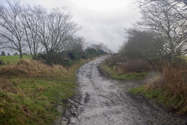
Collie Linn is a charming woodland area located in the county of Roxburghshire in the Scottish Borders region of Scotland. Situated near the village of Wood, the forest is renowned for its natural beauty and tranquility, making it a popular destination for nature enthusiasts, hikers, and those seeking a peaceful retreat.

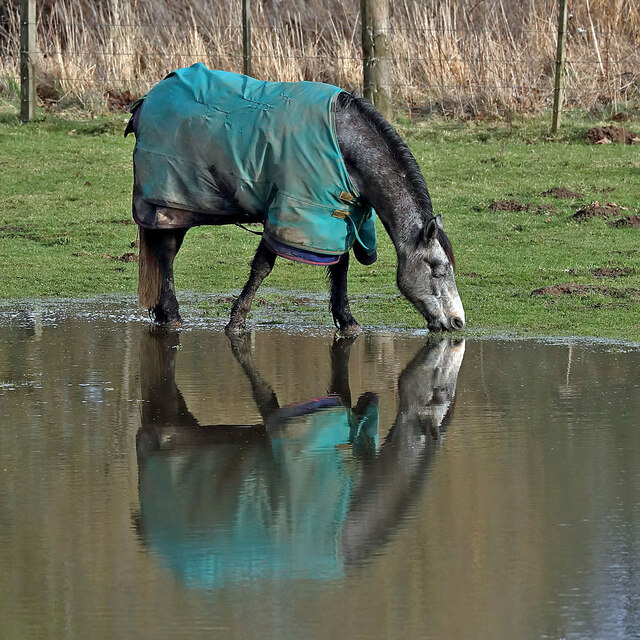
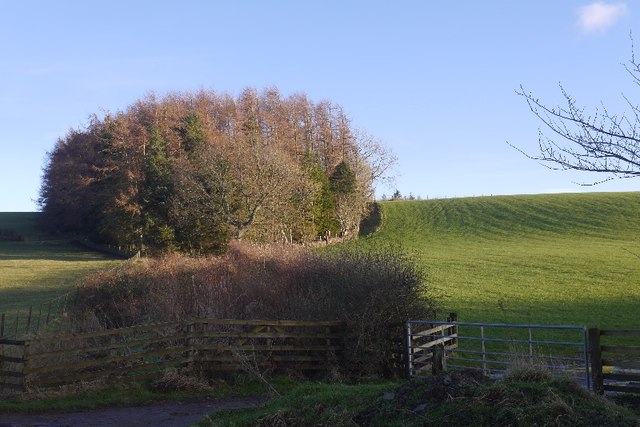
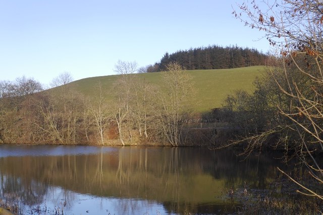
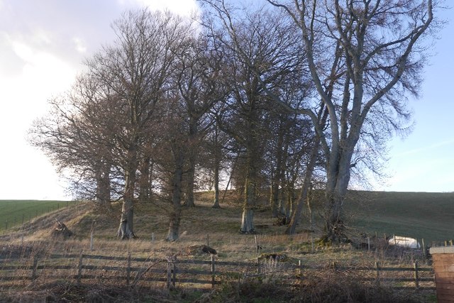
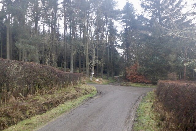
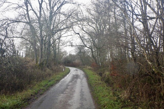
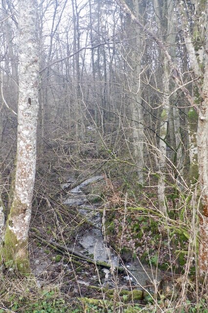
Covering an expansive area, Collie Linn is characterized by its dense and diverse woodland, comprising a mix of native trees such as oak, birch, and Scots pine. The forest is home to a rich variety of plant and animal species, including red squirrels, roe deer, and a myriad of bird species, attracting wildlife enthusiasts and birdwatchers from far and wide.

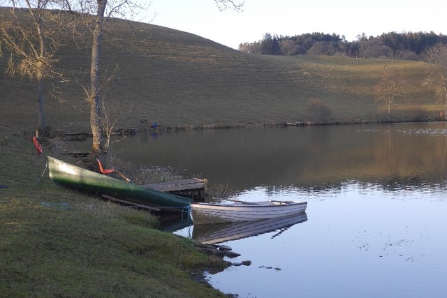
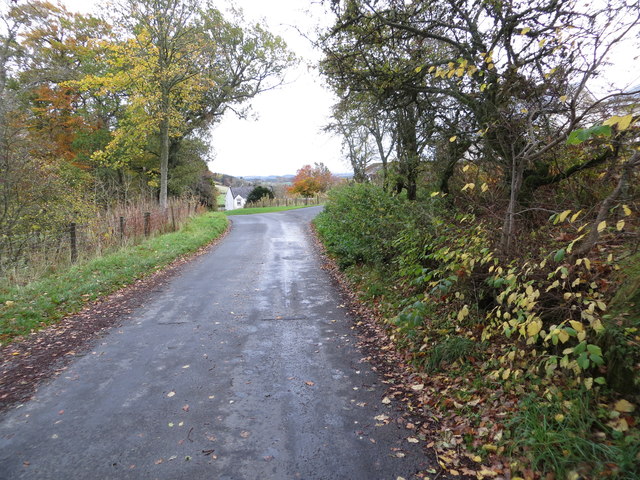
The forest offers a range of walking trails that cater to various fitness levels and interests, allowing visitors to explore the area at their own pace. Whether it's a leisurely stroll along the tranquil riverbanks or a more challenging hike through the hilly terrain, there is something for everyone to enjoy.

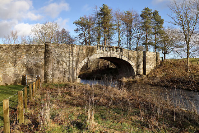
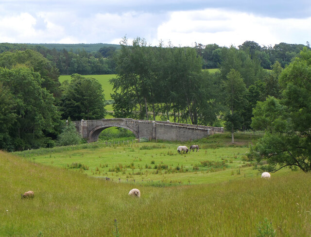
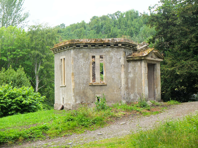
In addition to its natural beauty, Collie Linn also boasts historical significance. The forest was once part of the ancient Ettrick Forest, which played a significant role in the history of the region. Ruins of old structures and remnants of past settlements can still be found within the woodland, providing a glimpse into the area's intriguing past.

Overall, Collie Linn in Roxburghshire is a captivating woodland retreat that offers a perfect blend of natural splendor, wildlife encounters, and a touch of history. Whether you are seeking a peaceful escape or an outdoor adventure, this picturesque forest has much to offer.

If you have any feedback on the listing, please let us know in the comments section below.

Collie Linn Images

Images are sourced within 2km of 55.498015/-2.7859962 or Grid Reference NT5022. Thanks to Geograph Open Source API. All images are credited.

A horse reflection at Riddell A large pond formed in this horse field after periods of heavy rain. I walked by here two days previously and there was no lying water in the field.
A horse reflection at Riddell
A large pond formed in this horse field after periods of heavy rain. I walked by here two days previously and there was no lying water in the field.
Riddell South Bridge The bridge spans the Ale Water on the Riddell Estate. There is a sign at the junction of the estate road to the southeast and the B6400 warning of a maximum weight of two tonnes for this bridge.
Riddell South Bridge
The bridge spans the Ale Water on the Riddell Estate. There is a sign at the junction of the estate road to the southeast and the B6400 warning of a maximum weight of two tonnes for this bridge.
Ale Water bridge at Riddell A handsome single arched stone bridge in the Riddell estate.
Ale Water bridge at Riddell
A handsome single arched stone bridge in the Riddell estate.
Deer Larder, Riddell House According to the Canmore website at <span class="nowrap"><a title="https://canmore.org.uk/site/55483/riddell" rel="nofollow ugc noopener" href="https://canmore.org.uk/site/55483/riddell">Link</a><img style="margin-left:2px;" alt="External link" title="External link - shift click to open in new window" src="https://s1.geograph.org.uk/img/external.png" width="10" height="10"/></span> this outbuilding by the old Riddell House was a deer larder.
Deer Larder, Riddell House
According to the Canmore website at LinkExternal link this outbuilding by the old Riddell House was a deer larder.
Estate bridge over the Ale Water, Riddell A closer view of the bridge shown in <a href="https://www.geograph.org.uk/photo/7215637">NT5124 : Ale Water bridge at Riddell</a>. It is subject to a 2-ton weight limit.
Estate bridge over the Ale Water, Riddell
A closer view of the bridge shown in NT5124 : Ale Water bridge at Riddell. It is subject to a 2-ton weight limit.
Track into Riddell Estate The track meets the B6400 about 1km west of Lilliesleaf.
Track into Riddell Estate
The track meets the B6400 about 1km west of Lilliesleaf.
Great Laws Plantation
Clerklands Loch A trout fishery near Selkirk.  The loch looks well established, but you will not find it on the 1:50,000 map.
Clerklands Loch
A trout fishery near Selkirk. The loch looks well established, but you will not find it on the 1:50,000 map.
North Cringles Strip A strip wood by Clerklands Loch.
North Cringles Strip
A strip wood by Clerklands Loch.
Clerklands Loch Boats tied up for the close season.
Clerklands Loch
Boats tied up for the close season.
Flood debris, Riddell Remains of the bad flooding of December 2015.  On one day I was working adjacent to a flood wall in Hawick and the river was flowing above my feet.   It was a good wall.
Flood debris, Riddell
Remains of the bad flooding of December 2015. On one day I was working adjacent to a flood wall in Hawick and the river was flowing above my feet. It was a good wall.
Flood debris, Riddell Debris left against a hedge after December 2015's floods.
Flood debris, Riddell
Debris left against a hedge after December 2015's floods.
B6400 Near Riddell, Roxburghshire.
B6400
Near Riddell, Roxburghshire.
Road approaching Clerklands Looking eastward.
Road approaching Clerklands
Looking eastward.
Road junction, Dimpleknowe
Minor road by Hermiston
Hermiston Burn
Hermiston Burn
Farm road, Hermiston
Show me another place!

Collie Linn is located at Grid Ref: NT5022 (Lat: 55.498015, Lng: -2.7859962)

Unitary Authority: The Scottish Borders

Police Authority: The Lothians and Scottish Borders

What 3 Words

///lushly.tent.decisions. Near Selkirk, Scottish Borders

Related Wikis

Nearby Amenities

Located within 500m of 55.498015,-2.7859962
Dimpleknowe
Place: hamlet
Lat/Long: 55.4960266/-2.7877984
Power: pole
Lat/Long: 55.496298/-2.7921777
Power: pole
Lat/Long: 55.496405/-2.7909273
Power: pole
Lat/Long: 55.4965313/-2.7895435
Power: pole
Lat/Long: 55.4966378/-2.7882379
Power: pole
Lat/Long: 55.4967195/-2.7873032
Power: pole
Lat/Long: 55.4968493/-2.7862629
Power: pole
Lat/Long: 55.4970491/-2.7847334
Power: pole
Lat/Long: 55.4971819/-2.783724
Power: pole
Lat/Long: 55.4973292/-2.7828331
Power: pole
Lat/Long: 55.4975903/-2.781283
Power: pole
Lat/Long: 55.4978266/-2.7799156
Power: pole
Lat/Long: 55.4980687/-2.7784325
Power: pole
Lat/Long: 55.4967385/-2.783258
Power: pole
Lat/Long: 55.4962498/-2.7827404
Power: pole
Lat/Long: 55.495751/-2.7822202
Power: pole
Lat/Long: 55.4956036/-2.7820374
Power: pole
Lat/Long: 55.4951704/-2.781561
Power: pole
Lat/Long: 55.4946103/-2.780974
Generator Method: wind_turbine
Generator Output Electricity: yes
Generator Source: wind
Generator Type: horizontal_axis
Power: generator
Lat/Long: 55.5023417/-2.7863351
The data included in this document is from www.openstreetmap.org. The data is made available under ODbL.

Have you been to Collie Linn?

Leave your review of Collie Linn below (or comments, questions and feedback).