Boggie Wood

Wood, Forest in Angus

Scotland

Boggie Wood

Fern Parish Church Looking north in the churchyard to Fern Parish Church.
Fern Parish Church Credit: Scott Cormie

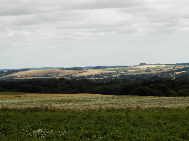
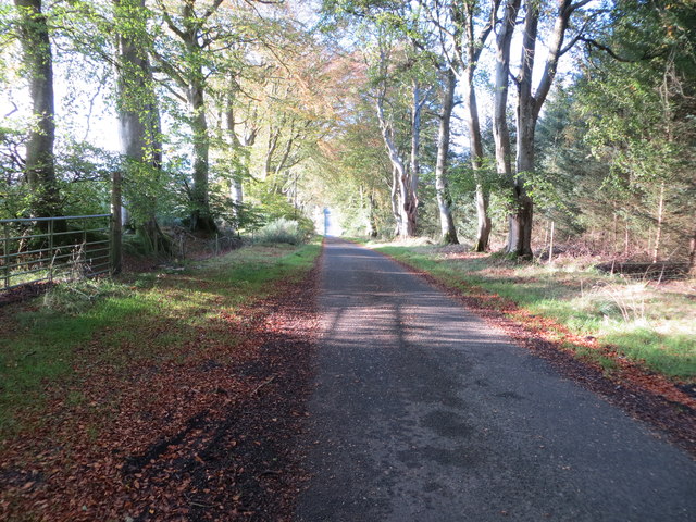
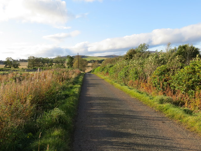
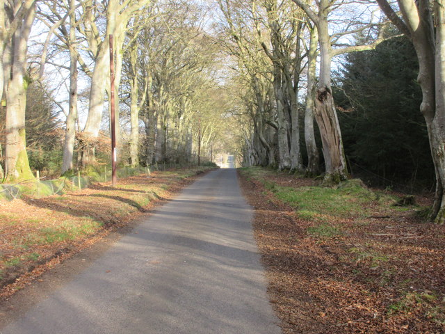
Boggie Wood, also known as Angus Wood or Forest Wood, is a picturesque woodland located in the Angus region of Scotland. Situated near the village of Edzell, Boggie Wood covers an area of approximately 40 hectares. The woodland is predominantly composed of beech trees, with some areas featuring mixed woodland and conifer plantation.

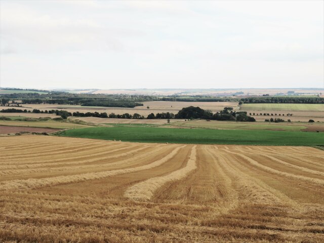
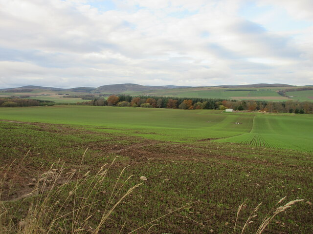
Boggie Wood offers a tranquil and serene environment, making it a popular destination for nature enthusiasts, hikers, and photographers. The woodland is home to a diverse range of flora and fauna, including various bird species, squirrels, and deer. The enchanting atmosphere is further enhanced by the presence of a small stream that meanders through the woods, adding to the overall charm and natural beauty of the area.

Visitors to Boggie Wood can enjoy a network of well-maintained paths and trails, allowing for easy exploration and navigation. The paths are suitable for people of all ages and fitness levels, making it an accessible destination for families and individuals alike. The woodland is open to the public year-round, providing opportunities to witness the changing seasons and the stunning displays of autumn foliage.

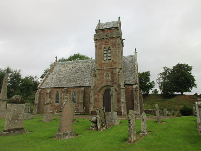
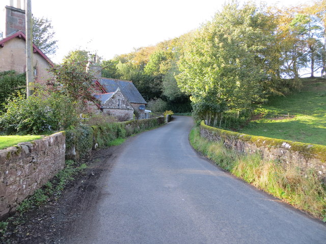
Boggie Wood also holds historical significance, with remnants of old buildings and structures scattered throughout the area. These remnants offer glimpses into the past and add an element of intrigue to the woodland experience.

Overall, Boggie Wood, or Angus Wood, is a captivating natural haven, inviting visitors to immerse themselves in the beauty of the Scottish countryside and indulge in outdoor pursuits.

If you have any feedback on the listing, please let us know in the comments section below.
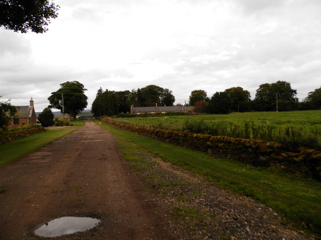
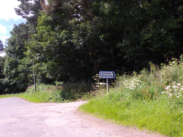
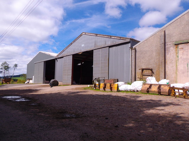
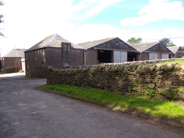
Boggie Wood Images

Images are sourced within 2km of 56.745206/-2.8127209 or Grid Reference NO5061. Thanks to Geograph Open Source API. All images are credited.

Fern Parish Church Looking north in the churchyard to Fern Parish Church.
Fern Parish Church
Looking north in the churchyard to Fern Parish Church.
Farm buildings, Vayne
Farm building, Vayne The farm buildings at Vayne belong to the nineteenth century, but much of the stone that was used for their construction was plundered from the nearby Vayne Castle (16th century).  Evidence for this can be seen in the carved panel, or tympanum, set between the two grey doors in this picture.  The image below contains further detail:-

<a title="https://www.geograph.org.uk/photo/766688" href="https://www.geograph.org.uk/photo/766688">Link</a>
Farm building, Vayne
The farm buildings at Vayne belong to the nineteenth century, but much of the stone that was used for their construction was plundered from the nearby Vayne Castle (16th century). Evidence for this can be seen in the carved panel, or tympanum, set between the two grey doors in this picture. The image below contains further detail:- Link
Farmland at Vayne Farm
Farm road at Vayne Farm
Afflochie/Glentrusta Junction Off minor road at Balquharn.
Afflochie/Glentrusta Junction
Off minor road at Balquharn.
Shandford Farm buildings By minor road to Fern.
Shandford Farm buildings
By minor road to Fern.
Approach to Shandford On the minor road from the east.
Approach to Shandford
On the minor road from the east.
Minor road between Vayne Moor and Roughmount Woods Looking north-westward.
Minor road between Vayne Moor and Roughmount Woods
Looking north-westward.
Minor road beside Redford Wood Looking north-westward in the direction of Fern.
Minor road beside Redford Wood
Looking north-westward in the direction of Fern.
Walled minor road at Fern Den Looking north-westward.
Walled minor road at Fern Den
Looking north-westward.
Road passing Shandford Farm Looking north-eastward.
Road passing Shandford Farm
Looking north-eastward.
Ordnance Survey Flush Bracket G4648 This bracket can be found on the roadside wall of a building at Shandford Farm. The benchmark's recorded height is 167.76 metres above sea level.
For more detail see : <span class="nowrap"><a title="https://www.bench-marks.org.uk/bm11800" rel="nofollow ugc noopener" href="https://www.bench-marks.org.uk/bm11800">Link</a><img style="margin-left:2px;" alt="External link" title="External link - shift click to open in new window" src="https://s1.geograph.org.uk/img/external.png" width="10" height="10"/></span>
Ordnance Survey Flush Bracket G4648
This bracket can be found on the roadside wall of a building at Shandford Farm. The benchmark's recorded height is 167.76 metres above sea level. For more detail see : LinkExternal link
Road to Fern The road heading to Fern from Careston through Vayne Moor Wood.
Road to Fern
The road heading to Fern from Careston through Vayne Moor Wood.
Arable land near Bogton of Balhall Looking south from the minor road across arable land at the edge of the wide and fertile Strathmore.
Arable land near Bogton of Balhall
Looking south from the minor road across arable land at the edge of the wide and fertile Strathmore.
Field near the Law of Windsor Looking north-westwards over a newly sown field north of the Law of Windsor.
Field near the Law of Windsor
Looking north-westwards over a newly sown field north of the Law of Windsor.
C31 (Angus) Road at Windsor Terrace The C31 road heading eastwards approaching Windsor Terrace.
C31 (Angus) Road at Windsor Terrace
The C31 road heading eastwards approaching Windsor Terrace.
Left turn to Afflochie Left turn to Afflochie at Balquharn
Left turn to Afflochie
Left turn to Afflochie at Balquharn
Show me another place!

Boggie Wood is located at Grid Ref: NO5061 (Lat: 56.745206, Lng: -2.8127209)

Unitary Authority: Angus

Police Authority: Tayside

What 3 Words

///reacting.gourmet.bitter. Near Brechin, Angus

Nearby Locations

Boggie Wood

Related Wikis

Careston

Careston is a hamlet in Angus, Scotland, that is in the parish of the same name, 5 miles west of Brechin. The parish and hamlet supposedly took their name...

Careston railway station

Careston railway station served the hamlet of Careston, Angus, Scotland, from 1895 to 1964 on the Forfar and Brechin Railway. == History == The station...

Noranside

Noranside is a hamlet in Angus, Scotland, located at 56° 44' 0" North, 2° 52' 0" West,. The prison HMP Noranside was operated there from 1966 to 2011....

Menmuir

Menmuir is a parish in the county of Angus in Scotland. Kirkton of Menmuir consists of only three houses (the Old Schoolhouse, the Manse, the Old Inn)...

Nearby Amenities

Located within 500m of 56.745206,-2.8127209
Boggie
Place: isolated_dwelling
Lat/Long: 56.7436387/-2.8157161
Balmadity
Name Gd: Baile Madadaidh
Place: isolated_dwelling
Lat/Long: 56.7488982/-2.8097294
Power: pole
Lat/Long: 56.7493566/-2.8103602
Power: pole
Lat/Long: 56.7489082/-2.8099195
Power: pole
Lat/Long: 56.7478241/-2.8185211
Power: pole
Lat/Long: 56.7472749/-2.8177599
Power: pole
Lat/Long: 56.746612/-2.8176232
Power: pole
Lat/Long: 56.7459491/-2.8174936
Power: pole
Lat/Long: 56.745303/-2.8173687
Power: pole
Lat/Long: 56.7446452/-2.8172344
Power: pole
Lat/Long: 56.7441218/-2.8171331
Power: pole
Lat/Long: 56.7437083/-2.8168986
Power: pole
Lat/Long: 56.7433774/-2.8167124
Power: pole
Lat/Long: 56.7434601/-2.8154799
Power: pole
Lat/Long: 56.7435441/-2.8143181
Power: pole
Lat/Long: 56.743623/-2.8131657
The data included in this document is from www.openstreetmap.org. The data is made available under ODbL.

Have you been to Boggie Wood?

Leave your review of Boggie Wood below (or comments, questions and feedback).