Edward's Plantation
Wood, Forest in Roxburghshire
Scotland
Edward's Plantation
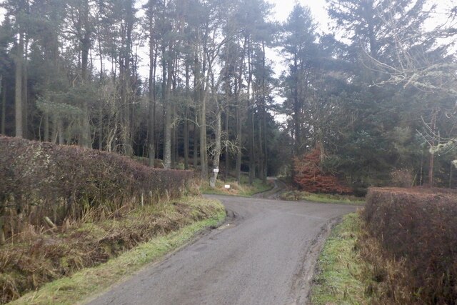
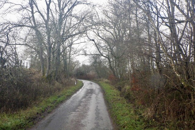
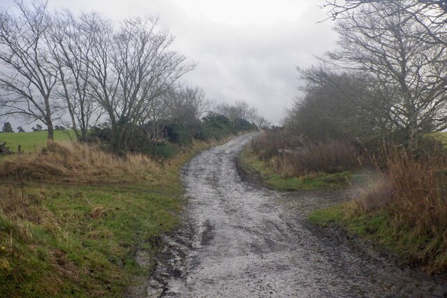
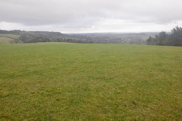
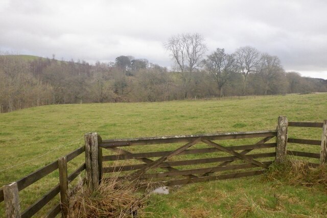
Edward's Plantation is a sprawling woodland located in Roxburghshire, a historic county in the southern region of Scotland. Situated amidst the picturesque landscape of the Scottish Borders, this plantation covers a vast area and is renowned for its dense and diverse forest.
The plantation is named after Edward, a prominent landowner who established the woodland several decades ago. The main purpose behind the creation of Edward's Plantation was to promote conservation, preserve the natural beauty of the area, and provide a habitat for various wildlife species.
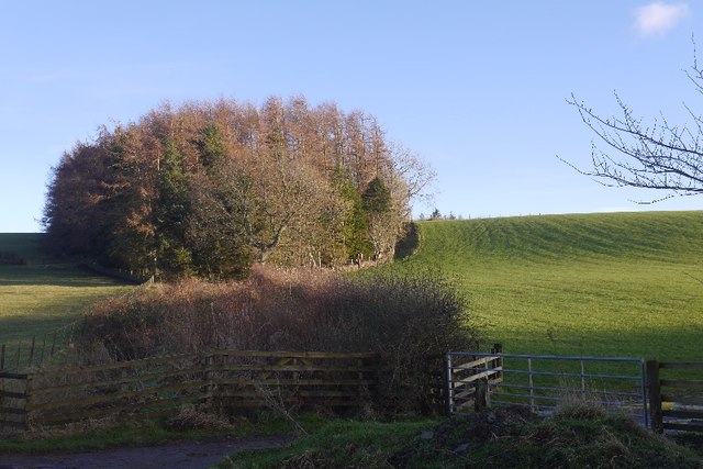
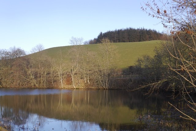
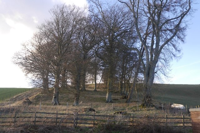
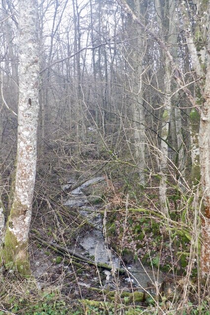
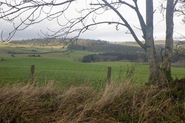
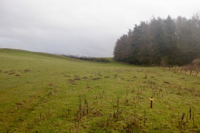
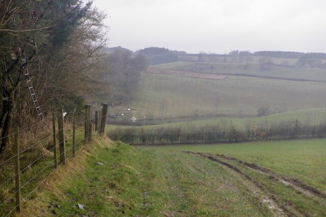
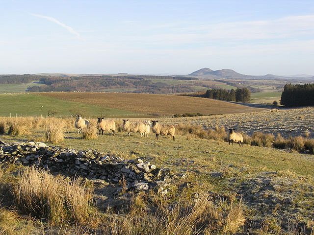
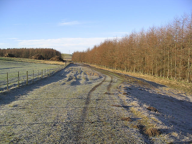
Stretching over rolling hills, the plantation boasts a rich mix of both native and non-native tree species. These include oak, ash, beech, pine, and spruce, among others. The combination of these trees not only adds to the visual appeal of the woodland but also contributes to the ecological balance of the region.
Edward's Plantation is a haven for nature enthusiasts and outdoor enthusiasts alike. The woodland offers numerous walking trails and paths, allowing visitors to explore its vast expanse and take in the breathtaking views. The plantation is also home to a multitude of wildlife, including deer, foxes, badgers, and a wide variety of bird species, making it a popular destination for birdwatchers.
Additionally, the plantation is well-maintained, with regular forest management practices implemented to ensure the health and sustainability of the woodland. This includes selective tree felling and replanting efforts, enhancing the overall biodiversity and longevity of the plantation.
Edward's Plantation, Roxburghshire, stands as a testament to the beauty and importance of preserving our natural heritage. Its magnificent forest, diverse wildlife, and serene ambiance make it a must-visit destination for those seeking a true connection with nature.
If you have any feedback on the listing, please let us know in the comments section below.
Edward's Plantation Images
Images are sourced within 2km of 55.493071/-2.7890315 or Grid Reference NT5022. Thanks to Geograph Open Source API. All images are credited.
Edward's Plantation is located at Grid Ref: NT5022 (Lat: 55.493071, Lng: -2.7890315)
Unitary Authority: The Scottish Borders
Police Authority: The Lothians and Scottish Borders
What 3 Words
///cargo.shuffle.rhino. Near Selkirk, Scottish Borders
Nearby Locations
Related Wikis


Nearby Amenities
Located within 500m of 55.493071,-2.7890315Have you been to Edward's Plantation?
Leave your review of Edward's Plantation below (or comments, questions and feedback).