Trabrownhill Plantation

Wood, Forest in Berwickshire

Scotland

Trabrownhill Plantation

Power line near Lauder Between Bowerhouse and Inchkeith.
Power line near Lauder Credit: Richard Webb

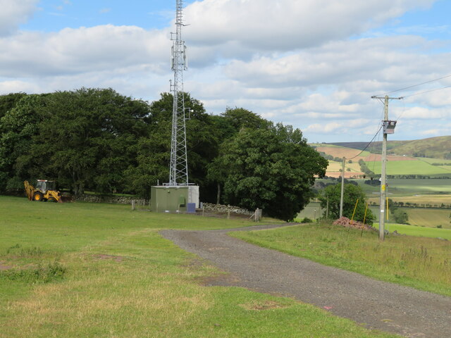
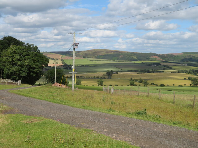
Trabrownhill Plantation is a picturesque woodland located in Berwickshire, Scotland. Covering an area of approximately 500 acres, this forested area is known for its diverse range of tree species and abundant wildlife. The plantation is primarily made up of native Scottish trees such as oak, ash, and birch, creating a lush and vibrant landscape.

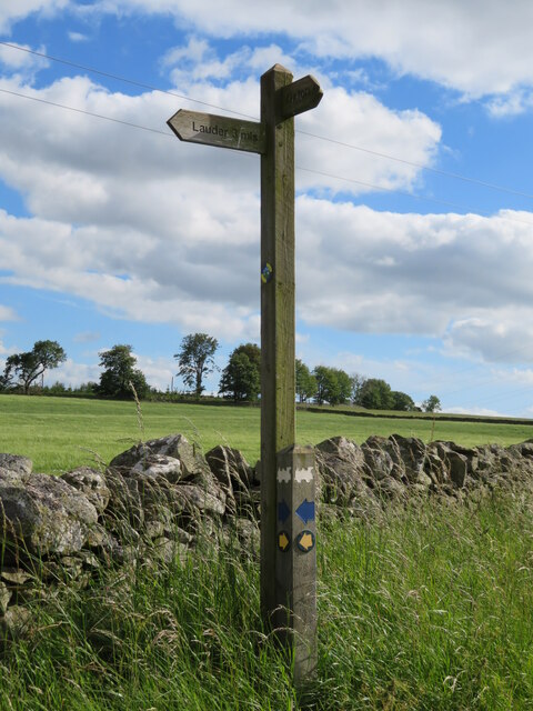
Trabrownhill Plantation is a popular destination for outdoor enthusiasts, offering a network of walking and cycling trails that wind through the trees and provide stunning views of the surrounding countryside. The forest is also home to a variety of wildlife, including red squirrels, deer, and a wide array of bird species.

Managed by the Forestry Commission, the plantation is well-maintained and provides a peaceful and tranquil setting for visitors to enjoy nature and escape the hustle and bustle of everyday life. Whether you're looking for a leisurely stroll through the woods or a more challenging hike, Trabrownhill Plantation offers something for everyone to enjoy in this beautiful corner of Berwickshire.

If you have any feedback on the listing, please let us know in the comments section below.

Trabrownhill Plantation Images

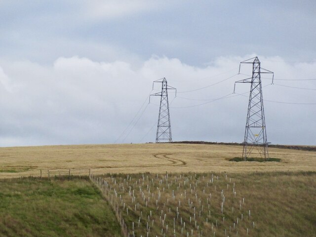
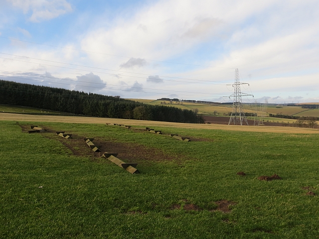
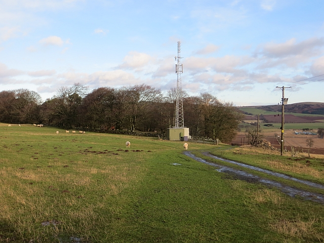
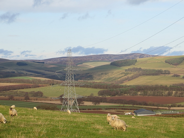
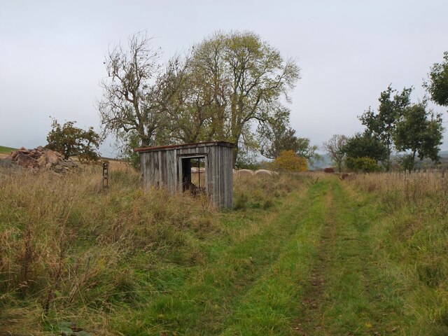
Images are sourced within 2km of 55.727742/-2.7925967 or Grid Reference NT5048. Thanks to Geograph Open Source API. All images are credited.

Power line near Lauder Between Bowerhouse and Inchkeith.
Power line near Lauder
Between Bowerhouse and Inchkeith.
Upturned troughs Awaiting the return of sheep to this field.
Upturned troughs
Awaiting the return of sheep to this field.
Mobile mast, Blackchester Good line of sight down Lauderdale.
Mobile mast, Blackchester
Good line of sight down Lauderdale.
View of the Lammermuir Hills Looking past the Smeaton to Eccles power lines across the head of Lauderdale.
View of the Lammermuir Hills
Looking past the Smeaton to Eccles power lines across the head of Lauderdale.
Mast at Blackchester Overlooking Lauderdale.
Mast at Blackchester
Overlooking Lauderdale.
Looking over Lauderdale from Blackchester The road to the farm, and a low tension electricity supply line and transformer.
Looking over Lauderdale from Blackchester
The road to the farm, and a low tension electricity supply line and transformer.
Footpath sign at Blackchester Part of the Lauder paths network. The locomotive logo relates to the Lauder Light Railway, which ran nearby.
Footpath sign at Blackchester
Part of the Lauder paths network. The locomotive logo relates to the Lauder Light Railway, which ran nearby.
Blackchester Mobile mast beside a fort in Lauderdale.
Blackchester
Mobile mast beside a fort in Lauderdale.
Hut by the old railway from Lauder A wooden hut by the route, which closed in 1958. It is now a footpath for another 500m but on the map does not appear to continue through the farmland. The railway ran from the Waverley Line at Fountainhall through the hills to Oxton and southwards to Lauder. It opened in 1901 but passenger services ceased in 1932 and the line officially closed in 1958 - see <span class="nowrap"><a title="https://en.wikipedia.org/wiki/Lauder_Light_Railway" rel="nofollow ugc noopener" href="https://en.wikipedia.org/wiki/Lauder_Light_Railway">Link</a><img style="margin-left:2px;" alt="External link" title="External link - shift click to open in new window" src="https://s1.geograph.org.uk/img/external.png" width="10" height="10"/></span> for further details.
Hut by the old railway from Lauder
A wooden hut by the route, which closed in 1958. It is now a footpath for another 500m but on the map does not appear to continue through the farmland. The railway ran from the Waverley Line at Fountainhall through the hills to Oxton and southwards to Lauder. It opened in 1901 but passenger services ceased in 1932 and the line officially closed in 1958 - see LinkExternal link for further details.
Track near Blackchester A vehicle track giving access from the public road. A hill fort and settlement is shown in the woodland at the hill summit.
Track near Blackchester
A vehicle track giving access from the public road. A hill fort and settlement is shown in the woodland at the hill summit.
Track meeting road near Blackchester Compare with James Denham's photograph <a href="https://www.geograph.org.uk/photo/1016736">NT5050 : Track to Blackchester Farm.</a> taken here 12 years ago to the day!
Track meeting road near Blackchester
Compare with James Denham's photograph NT5050 : Track to Blackchester Farm. taken here 12 years ago to the day!
Track by Upper Covert The track from Pilmuir can be followed through fields down to Whitlaw.
Track by Upper Covert
The track from Pilmuir can be followed through fields down to Whitlaw.
Field corner near Trabrown Hill Grazing land above Lauderdale.
Field corner near Trabrown Hill
Grazing land above Lauderdale.
Arch bridge over the Harry Burn An arched culvert for the burn below a hill track from Trabrown Hill to Inchkeith Hill.
Arch bridge over the Harry Burn
An arched culvert for the burn below a hill track from Trabrown Hill to Inchkeith Hill.
Northern arm of the Harry Burn Not much water visible but the burn is in there, seen from the bridge shown in <a href="https://www.geograph.org.uk/photo/6650057">NT4948 : Arch bridge over the Harry Burn</a>.
Northern arm of the Harry Burn
Not much water visible but the burn is in there, seen from the bridge shown in NT4948 : Arch bridge over the Harry Burn.
Wide grassy track, Inchkeith Hill According to the local walks guide (Walks Around Lauder, Lauderdale Paths Network 2006) this is an old drove road, recognisable by the width enclosed between parallel stone walls.
Wide grassy track, Inchkeith Hill
According to the local walks guide (Walks Around Lauder, Lauderdale Paths Network 2006) this is an old drove road, recognisable by the width enclosed between parallel stone walls.
Track down to Whitlaw The farm track meets the access road from Lauder once past the farm buildings.
Track down to Whitlaw
The farm track meets the access road from Lauder once past the farm buildings.
Farm buildings, Whitlaw A cow shed and silo seen from the access road from Lauder.
Farm buildings, Whitlaw
A cow shed and silo seen from the access road from Lauder.
Show me another place!

Trabrownhill Plantation is located at Grid Ref: NT5048 (Lat: 55.727742, Lng: -2.7925967)

Unitary Authority: The Scottish Borders

Police Authority: The Lothians and Scottish Borders

What 3 Words

///aquatic.coverings.translated. Near Lauder, Scottish Borders

Related Wikis

Lauder railway station

Lauder railway station served the town of Lauder, Berwickshire, Scotland, from 1901 to 1958. It was situated on the Lauder Light Railway. == History... ==

Lauderdale

Lauderdale is the valley of the Leader Water (a tributary of the Tweed) in the Scottish Borders. It contains the town of Lauder, as well as Earlston. The...

Lauder

The former Royal Burgh of Lauder (, Scottish Gaelic: Labhdar) is a town in the Scottish Borders in the historic county of Berwickshire. On the Southern...

Lauder Town Hall

Lauder Town Hall is a municipal structure in the Market Place in Lauder, Scottish Borders, Scotland. The structure, which is used as the local registrar...

Nearby Amenities

Located within 500m of 55.727742,-2.7925967
Design: barrel
Power: tower
Lat/Long: 55.7264175/-2.7889812
Power: tower
Lat/Long: 55.7244322/-2.79744
Power: tower
Lat/Long: 55.7268355/-2.799064
Power: tower
Lat/Long: 55.7283793/-2.8001073
Design: barrel
Power: tower
Lat/Long: 55.7301618/-2.7895765
Design: barrel
Power: tower
Lat/Long: 55.7288193/-2.789363
Power: tower
Lat/Long: 55.7256013/-2.79823
Trabrown Hill
Natural: peak
Lat/Long: 55.7276278/-2.7960948
Power: pole
Lat/Long: 55.7263246/-2.8000438
Power: pole
Lat/Long: 55.725725/-2.7995852
Power: pole
Lat/Long: 55.7252522/-2.7991185
Power: pole
Lat/Long: 55.7240256/-2.7968574
The data included in this document is from www.openstreetmap.org. The data is made available under ODbL.

Have you been to Trabrownhill Plantation?

Leave your review of Trabrownhill Plantation below (or comments, questions and feedback).