Trabrown Hill

Hill, Mountain in Berwickshire

Scotland

Trabrown Hill

Signpost, Girthgate A few years on from <a href="https://www.geograph.org.uk/photo/1913604">NT4848 : Footpath sign, Inchkeith</a>
Signpost, Girthgate Credit: Richard Webb

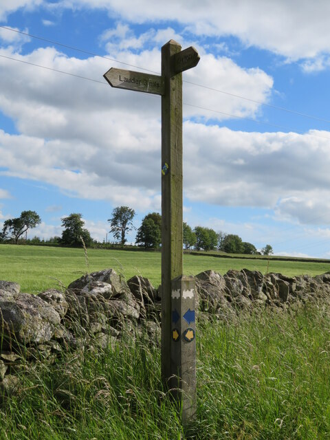
Trabrown Hill is a prominent hill located in Berwickshire, Scotland. It stands at an elevation of 383 meters (1,257 feet) above sea level and offers stunning panoramic views of the surrounding countryside. The hill is a popular destination for hikers and nature enthusiasts, with a network of walking trails leading to the summit.

Trabrown Hill is characterized by its rugged terrain, with rocky outcrops and steep slopes adding to the challenge of reaching the top. The hill is covered in a mix of grasses, heather, and shrubs, providing habitat for a variety of wildlife including birds of prey, deer, and wildflowers.

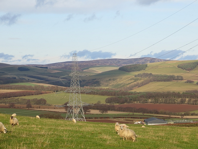
At the summit of Trabrown Hill, visitors can enjoy breathtaking views of the rolling hills and valleys of Berwickshire, as well as distant views of the North Sea. On a clear day, it is possible to see as far as the Cheviot Hills on the border between Scotland and England.

Overall, Trabrown Hill is a must-visit destination for outdoor enthusiasts looking to experience the natural beauty of the Scottish countryside and enjoy a challenging hike with rewarding views.

If you have any feedback on the listing, please let us know in the comments section below.

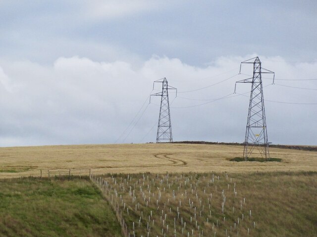
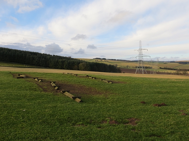
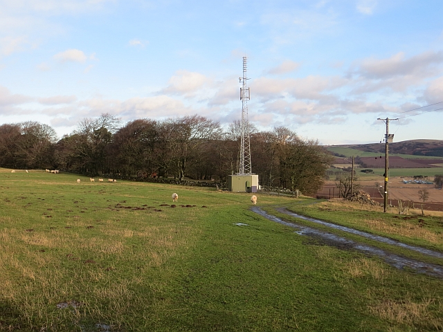
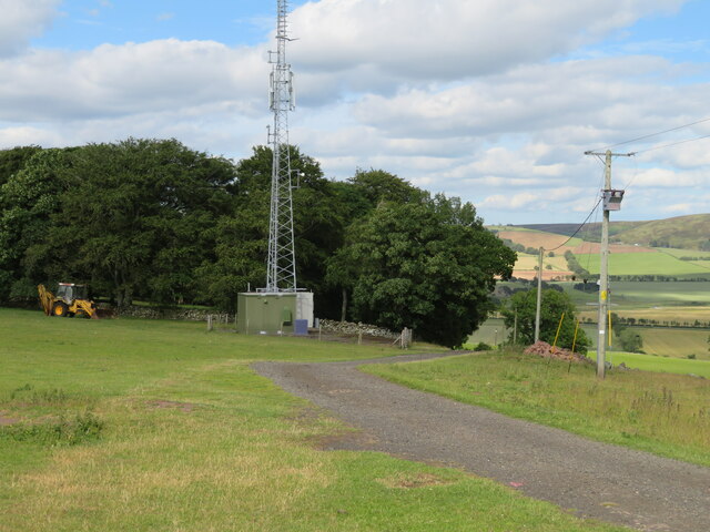
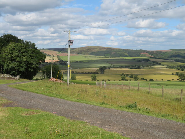
Trabrown Hill Images

Images are sourced within 2km of 55.727864/-2.7973917 or Grid Reference NT5048. Thanks to Geograph Open Source API. All images are credited.

Signpost, Girthgate A few years on from <a href="https://www.geograph.org.uk/photo/1913604">NT4848 : Footpath sign, Inchkeith</a>
Signpost, Girthgate
A few years on from NT4848 : Footpath sign, Inchkeith
The Girthgate, Inchkeith
Belties, Inchkeith Belted Galloway cow and calves beside the Girthgate.
Belties, Inchkeith
Belted Galloway cow and calves beside the Girthgate.
Girthgate, Inchkeith The access road to the farm at Inchkeith.
Girthgate, Inchkeith
The access road to the farm at Inchkeith.
Power line near Lauder Between Bowerhouse and Inchkeith.
Power line near Lauder
Between Bowerhouse and Inchkeith.
Upturned troughs Awaiting the return of sheep to this field.
Upturned troughs
Awaiting the return of sheep to this field.
Mobile mast, Blackchester Good line of sight down Lauderdale.
Mobile mast, Blackchester
Good line of sight down Lauderdale.
View of the Lammermuir Hills Looking past the Smeaton to Eccles power lines across the head of Lauderdale.
View of the Lammermuir Hills
Looking past the Smeaton to Eccles power lines across the head of Lauderdale.
Mast at Blackchester Overlooking Lauderdale.
Mast at Blackchester
Overlooking Lauderdale.
Looking over Lauderdale from Blackchester The road to the farm, and a low tension electricity supply line and transformer.
Looking over Lauderdale from Blackchester
The road to the farm, and a low tension electricity supply line and transformer.
Footpath sign at Blackchester Part of the Lauder paths network. The locomotive logo relates to the Lauder Light Railway, which ran nearby.
Footpath sign at Blackchester
Part of the Lauder paths network. The locomotive logo relates to the Lauder Light Railway, which ran nearby.
Blackchester Mobile mast beside a fort in Lauderdale.
Blackchester
Mobile mast beside a fort in Lauderdale.
Track near Blackchester A vehicle track giving access from the public road. A hill fort and settlement is shown in the woodland at the hill summit.
Track near Blackchester
A vehicle track giving access from the public road. A hill fort and settlement is shown in the woodland at the hill summit.
Track meeting road near Blackchester Compare with James Denham's photograph <a href="https://www.geograph.org.uk/photo/1016736">NT5050 : Track to Blackchester Farm.</a> taken here 12 years ago to the day!
Track meeting road near Blackchester
Compare with James Denham's photograph NT5050 : Track to Blackchester Farm. taken here 12 years ago to the day!
Track by Upper Covert The track from Pilmuir can be followed through fields down to Whitlaw.
Track by Upper Covert
The track from Pilmuir can be followed through fields down to Whitlaw.
Field corner near Trabrown Hill Grazing land above Lauderdale.
Field corner near Trabrown Hill
Grazing land above Lauderdale.
Arch bridge over the Harry Burn An arched culvert for the burn below a hill track from Trabrown Hill to Inchkeith Hill.
Arch bridge over the Harry Burn
An arched culvert for the burn below a hill track from Trabrown Hill to Inchkeith Hill.
Northern arm of the Harry Burn Not much water visible but the burn is in there, seen from the bridge shown in <a href="https://www.geograph.org.uk/photo/6650057">NT4948 : Arch bridge over the Harry Burn</a>.
Northern arm of the Harry Burn
Not much water visible but the burn is in there, seen from the bridge shown in NT4948 : Arch bridge over the Harry Burn.
Show me another place!

Trabrown Hill is located at Grid Ref: NT5048 (Lat: 55.727864, Lng: -2.7973917)

Unitary Authority: The Scottish Borders

Police Authority: The Lothians and Scottish Borders

What 3 Words

///frightens.spelled.reflector. Near Lauder, Scottish Borders

Related Wikis

Lauder railway station

Lauder railway station served the town of Lauder, Berwickshire, Scotland, from 1901 to 1958. It was situated on the Lauder Light Railway. == History... ==

Lauderdale

Lauderdale is the valley of the Leader Water (a tributary of the Tweed) in the Scottish Borders. It contains the town of Lauder, as well as Earlston. The...

Lauder

The former Royal Burgh of Lauder (, Scottish Gaelic: Labhdar) is a town in the Scottish Borders in the historic county of Berwickshire. On the Southern...

Lauder Town Hall

Lauder Town Hall is a municipal structure in the Market Place in Lauder, Scottish Borders, Scotland. The structure, which is used as the local registrar...

Nearby Amenities

Located within 500m of 55.727864,-2.7973917
Power: tower
Lat/Long: 55.7244322/-2.79744
Power: tower
Lat/Long: 55.7268355/-2.799064
Power: tower
Lat/Long: 55.7283793/-2.8001073
Power: tower
Lat/Long: 55.7312518/-2.8020486
Power: tower
Lat/Long: 55.7256013/-2.79823
Trabrown Hill
Natural: peak
Lat/Long: 55.7276278/-2.7960948
Power: pole
Lat/Long: 55.7301218/-2.8032571
Power: pole
Lat/Long: 55.7294316/-2.8025383
Power: pole
Lat/Long: 55.7287595/-2.8018409
Power: pole
Lat/Long: 55.7281598/-2.8014144
Power: pole
Lat/Long: 55.7275481/-2.800945
Power: pole
Lat/Long: 55.7268896/-2.8004596
Power: pole
Lat/Long: 55.7263246/-2.8000438
Power: pole
Lat/Long: 55.725725/-2.7995852
Power: pole
Lat/Long: 55.7252522/-2.7991185
Power: pole
Lat/Long: 55.7247734/-2.7986705
Power: pole
Lat/Long: 55.7240256/-2.7968574
Power: pole
Lat/Long: 55.7234063/-2.7963477
The data included in this document is from www.openstreetmap.org. The data is made available under ODbL.

Have you been to Trabrown Hill?

Leave your review of Trabrown Hill below (or comments, questions and feedback).