Tulloes Wood
Wood, Forest in Angus
Scotland
Tulloes Wood
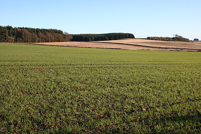
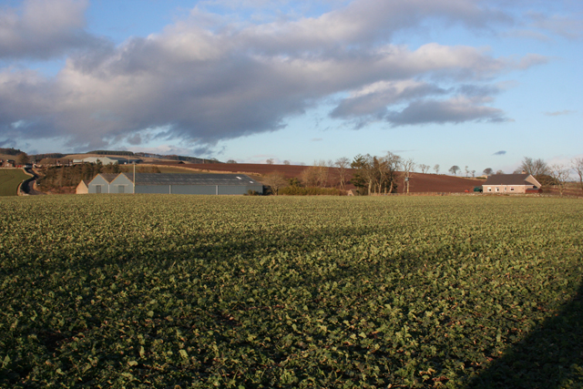
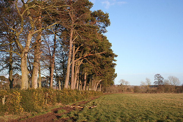
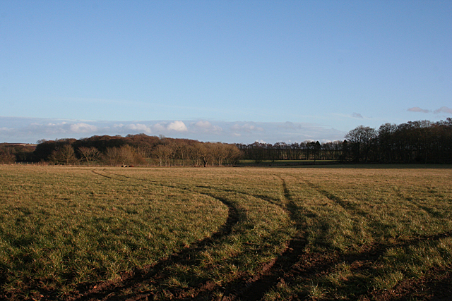
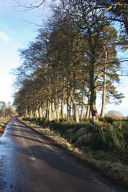
Tulloes Wood is a stunning forest located in Angus, Scotland. It covers an area of approximately 200 acres and is a popular destination for nature lovers, hikers, and birdwatchers alike. The wood is situated near the village of Auchterhouse and offers a tranquil escape from the hustle and bustle of daily life.
The forest is predominantly composed of native broadleaf trees, such as oak, birch, and beech, which create a dense and enchanting canopy overhead. These trees provide a habitat for a variety of wildlife, including red squirrels, deer, and a wide range of bird species.
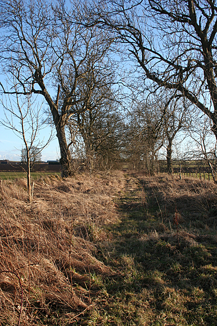
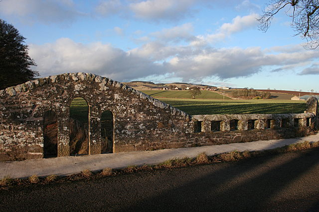
Tulloes Wood is crisscrossed by several well-maintained walking trails, allowing visitors to explore its natural beauty at their own pace. The paths wind through the wood, passing by picturesque streams, wildflower meadows, and secluded clearings. Along the way, visitors may stumble upon ancient stone circles and other remnants of the area's rich historical past.
Birdwatchers are particularly drawn to Tulloes Wood due to its abundance of avian species. The forest is home to a diverse range of birds, including woodpeckers, owls, and various songbirds. The bird hides strategically placed throughout the wood provide a perfect vantage point for observing these feathered creatures in their natural habitat.
Tulloes Wood offers a true haven for those seeking peace, tranquility, and a connection with nature. Its breathtaking landscapes, diverse wildlife, and rich history make it a must-visit destination for nature enthusiasts and adventurers in Angus, Scotland.
If you have any feedback on the listing, please let us know in the comments section below.
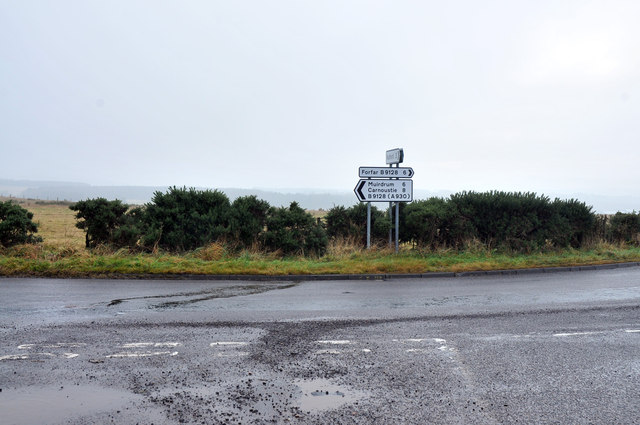
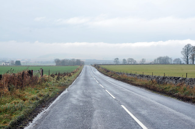
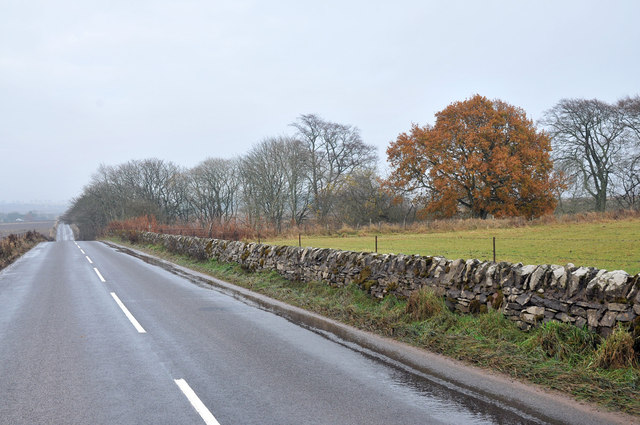
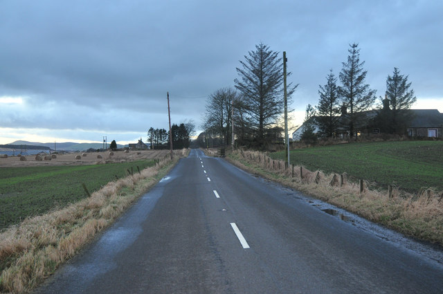
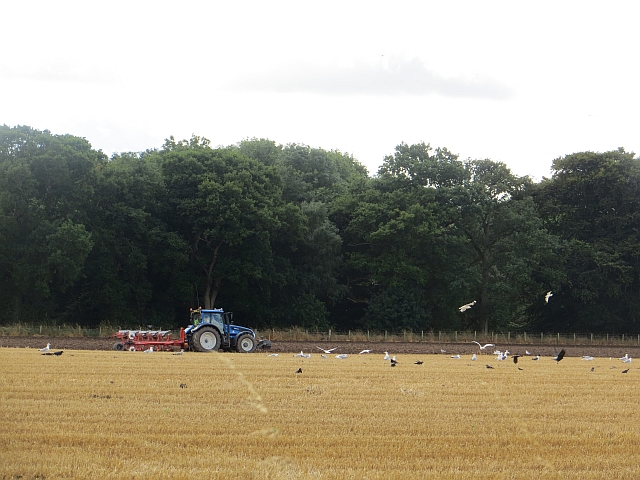
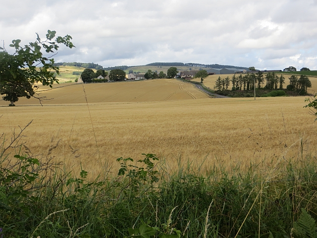
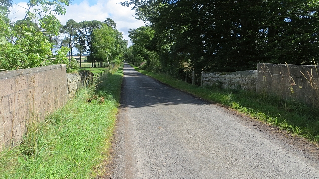
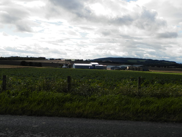
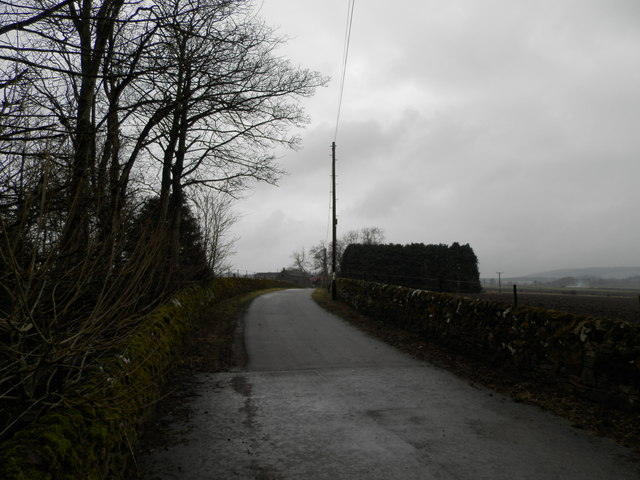
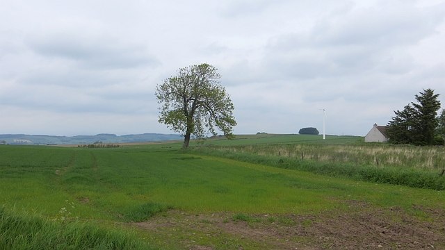
Tulloes Wood Images
Images are sourced within 2km of 56.591608/-2.8109997 or Grid Reference NO5044. Thanks to Geograph Open Source API. All images are credited.
Tulloes Wood is located at Grid Ref: NO5044 (Lat: 56.591608, Lng: -2.8109997)
Unitary Authority: Angus
Police Authority: Tayside
What 3 Words
///staked.steroids.ombudsman. Near Letham, Angus
Nearby Locations
Related Wikis

Kirkbuddo railway station
Kirkbuddo railway station served the village of Kirkbuddo, Angus, Scotland, from 1870 to 1955 on the Dundee and Forfar direct line. == History == The station...

Kirkbuddo
Kirkbuddo (Scots pronunciation: [ˌkərˈbʌdə]; Scottish Gaelic: Cair Bhuite) is a village in the county of Angus, Scotland, between the towns of Forfar and...

Whigstreet
Whigstreet is a village in the county of Angus, Scotland, between the towns of Forfar and Carnoustie. Nearby lie the remains of a temporary Roman marching...
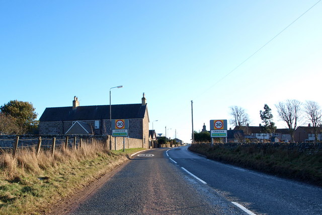
Craichie
Craichie (Scots pronunciation: [ˈkrexe]) is a hamlet in the parish of Dunnichen, Angus, Scotland. Craichie is three miles south-east of Forfar and two...
Bowriefauld
Bowriefauld is a village in Angus, Scotland.
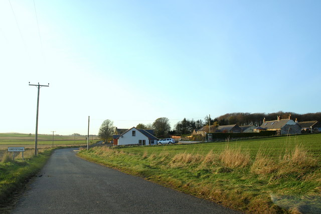
Greystone, Angus
Greystone is a hamlet in Angus, Scotland. It lies between the towns of Carnoustie and Forfar in the parish of Carmyllie. == References ==

Dunnichen
Dunnichen (Scots pronunciation: [dəˈnɪxən]; Scottish Gaelic: Dùn Eachain) is a small village in Angus, Scotland, situated between Letham and Forfar. It...
Kingsmuir railway station
Kingsmuir railway station served the village of Kingsmuir, Angus, Scotland, from 1870 to 1955 on the Dundee and Forfar direct line. == History == The station...
Nearby Amenities
Located within 500m of 56.591608,-2.8109997Have you been to Tulloes Wood?
Leave your review of Tulloes Wood below (or comments, questions and feedback).