Roughmount Wood

Wood, Forest in Angus

Scotland

Roughmount Wood

Farm buildings, Vayne
Farm buildings, Vayne Credit: Euan Nelson

The requested URL returned error: 429 Too Many Requests

If you have any feedback on the listing, please let us know in the comments section below.

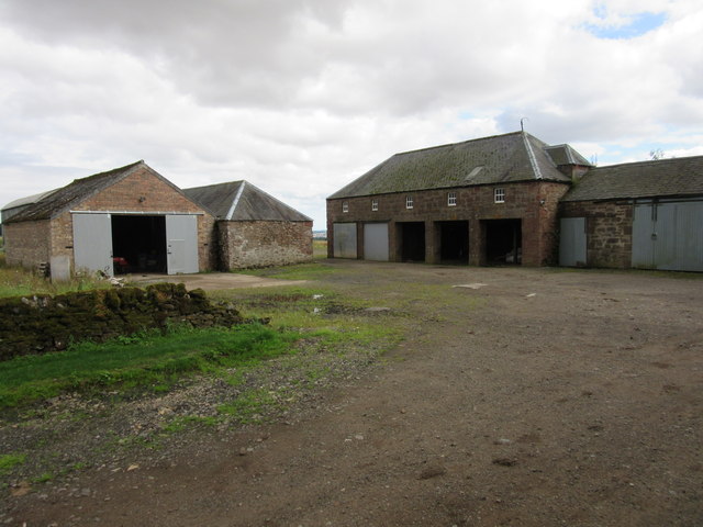
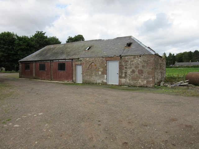
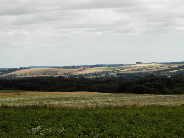
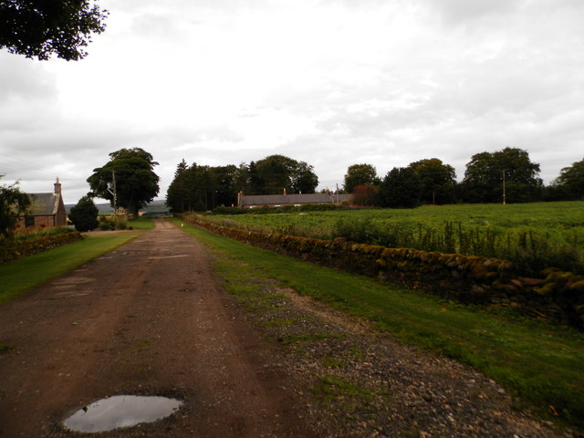
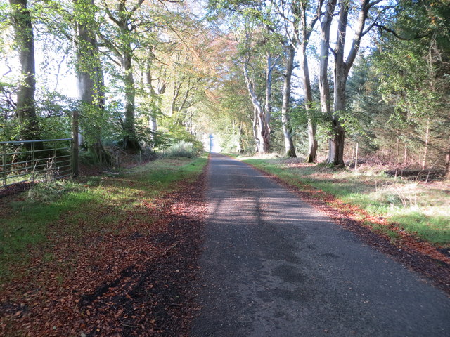
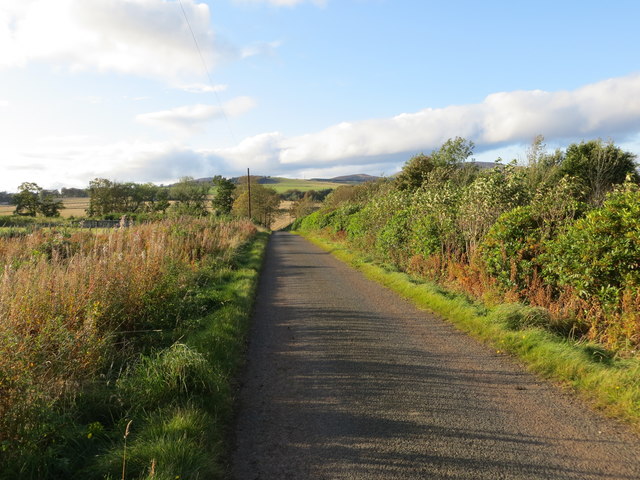
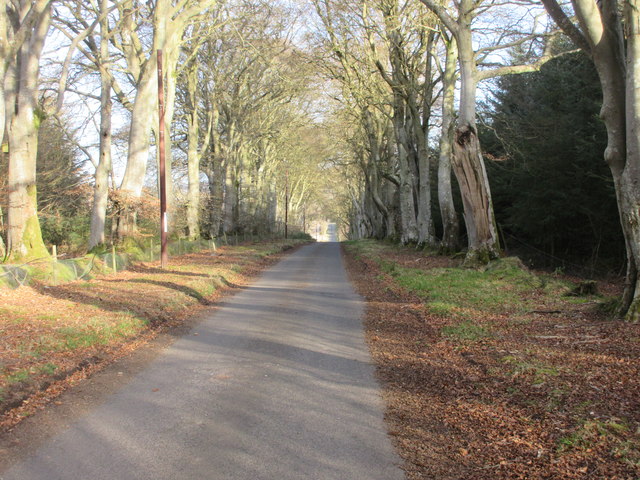
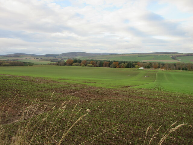
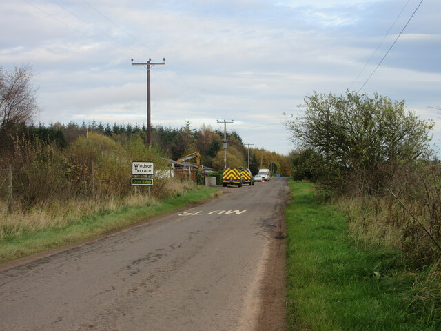
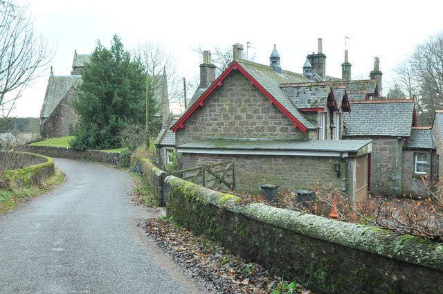
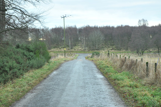
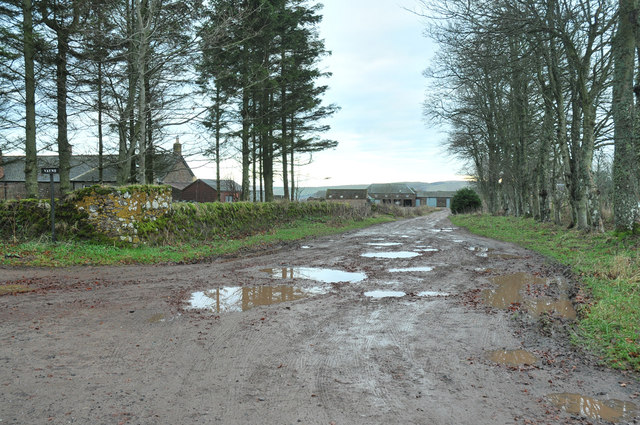
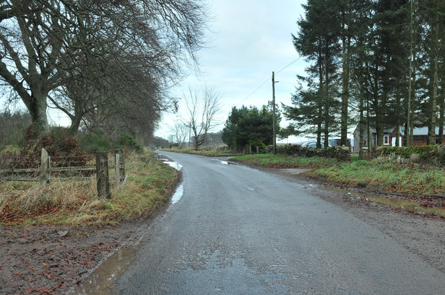
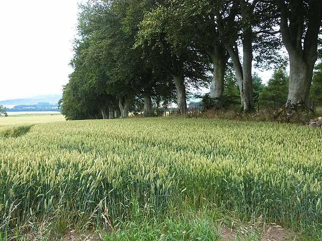
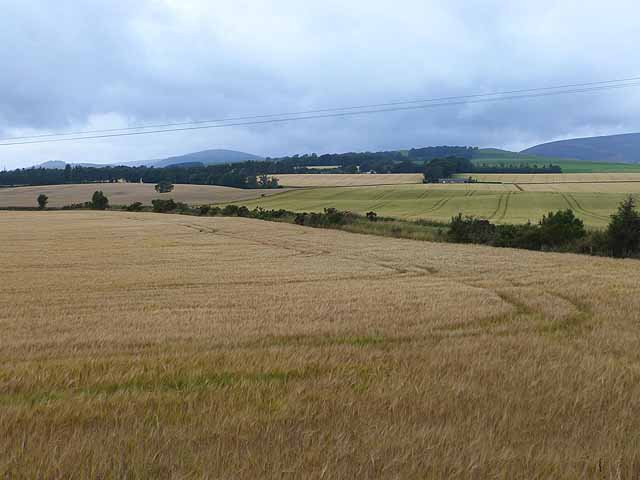
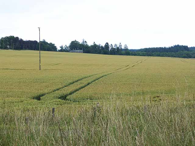
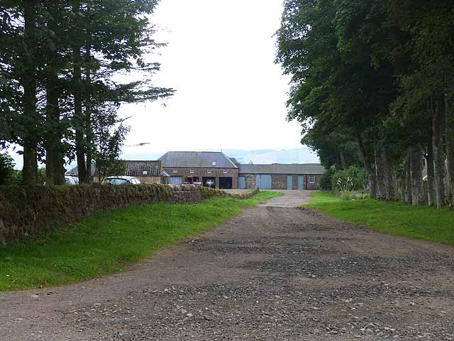
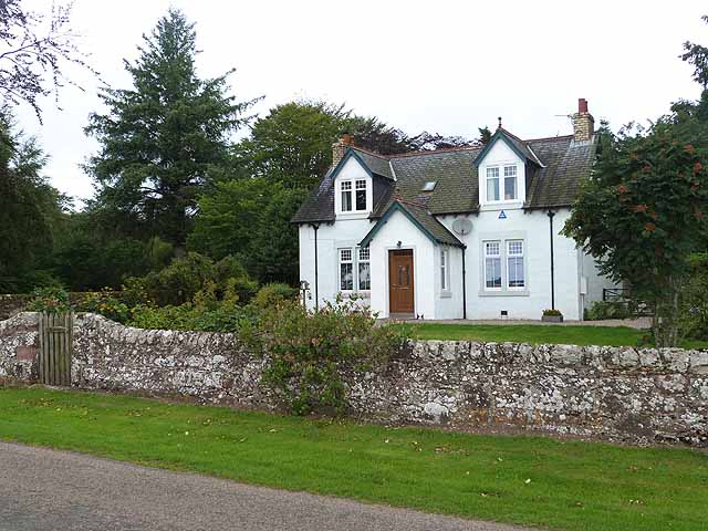
Roughmount Wood Images

Images are sourced within 2km of 56.736588/-2.8145291 or Grid Reference NO5060. Thanks to Geograph Open Source API. All images are credited.

Farm buildings, Vayne
Farm building, Vayne The farm buildings at Vayne belong to the nineteenth century, but much of the stone that was used for their construction was plundered from the nearby Vayne Castle (16th century).  Evidence for this can be seen in the carved panel, or tympanum, set between the two grey doors in this picture.  The image below contains further detail:-

<a title="https://www.geograph.org.uk/photo/766688" href="https://www.geograph.org.uk/photo/766688">Link</a>
Farm building, Vayne
The farm buildings at Vayne belong to the nineteenth century, but much of the stone that was used for their construction was plundered from the nearby Vayne Castle (16th century). Evidence for this can be seen in the carved panel, or tympanum, set between the two grey doors in this picture. The image below contains further detail:- Link
Farmland at Vayne Farm
Farm road at Vayne Farm
Minor road between Vayne Moor and Roughmount Woods Looking north-westward.
Minor road between Vayne Moor and Roughmount Woods
Looking north-westward.
Minor road beside Redford Wood Looking north-westward in the direction of Fern.
Minor road beside Redford Wood
Looking north-westward in the direction of Fern.
Road to Fern The road heading to Fern from Careston through Vayne Moor Wood.
Road to Fern
The road heading to Fern from Careston through Vayne Moor Wood.
Field near the Law of Windsor Looking north-westwards over a newly sown field north of the Law of Windsor.
Field near the Law of Windsor
Looking north-westwards over a newly sown field north of the Law of Windsor.
C31 (Angus) Road at Windsor Terrace The C31 road heading eastwards approaching Windsor Terrace.
C31 (Angus) Road at Windsor Terrace
The C31 road heading eastwards approaching Windsor Terrace.
Road past the parish church at Fern
Minor road near Fern
Access road to Vayne
Road past Vayne
Road past Vayne
Wheat field beside Vayne Moor Wood
Barley field near Welford The road to Fern runs behind the hedgerow on the far side of the near field.
Barley field near Welford
The road to Fern runs behind the hedgerow on the far side of the near field.
Wheat field near Welford Fern Lodge <a href="https://www.geograph.org.uk/gridref/NO4960">NO4960</a> on the far side of the field.
Wheat field near Welford
Fern Lodge NO4960 on the far side of the field.
Vayne Farm
Vayne Farm
Roughmount Farm
Roughmount Farm
Show me another place!

Roughmount Wood is located at Grid Ref: NO5060 (Lat: 56.736588, Lng: -2.8145291)

Unitary Authority: Angus

Police Authority: Tayside

What 3 Words

///payer.slab.swooned. Near Brechin, Angus

Related Wikis

Tannadice railway station

Tannadice railway station served the village of Tannadice, Angus, Scotland, from 1895 to 1952 on the Forfar and Brechin Railway. == History == The station...
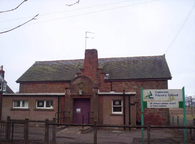
Careston

Careston is a hamlet in Angus, Scotland, that is in the parish of the same name, 5 miles west of Brechin. The parish and hamlet supposedly took their name...

Noranside

Noranside is a hamlet in Angus, Scotland, located at 56° 44' 0" North, 2° 52' 0" West,. The prison HMP Noranside was operated there from 1966 to 2011....

Finavon

Finavon is a small settlement in Angus, Scotland. Its Ordnance Survey grid reference is NO4957. == References ==

Nearby Amenities

Located within 500m of 56.736588,-2.8145291
Windsor Terrace
Place: hamlet
Lat/Long: 56.733899/-2.8152577
Roughmount Cottage
Place: isolated_dwelling
Lat/Long: 56.7336283/-2.8206436
Power: pole
Lat/Long: 56.7333941/-2.8186631
Power: pole
Lat/Long: 56.7334962/-2.8176097
Power: pole
Lat/Long: 56.7336591/-2.8158411
Power: pole
Lat/Long: 56.733776/-2.814625
Power: pole
Lat/Long: 56.733873/-2.8136223
The data included in this document is from www.openstreetmap.org. The data is made available under ODbL.

Have you been to Roughmount Wood?

Leave your review of Roughmount Wood below (or comments, questions and feedback).