Wood of Logie

Wood, Forest in Aberdeenshire

Scotland

Wood of Logie

Road descending through trees to A944 The road will act now as a farm road but in the past it will surely have seen use as a quarry road; above the trees there's a sizeable disused quarry.
Road descending through trees to A944 Credit: Trevor Littlewood

The requested URL returned error: 429 Too Many Requests

If you have any feedback on the listing, please let us know in the comments section below.

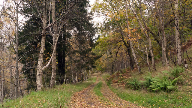
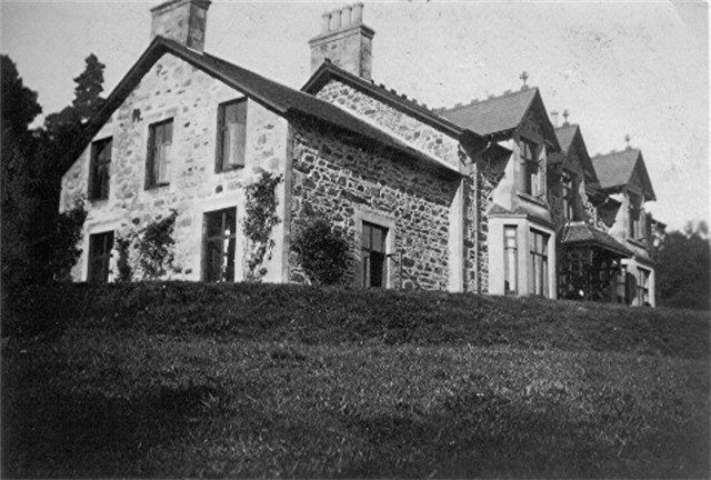
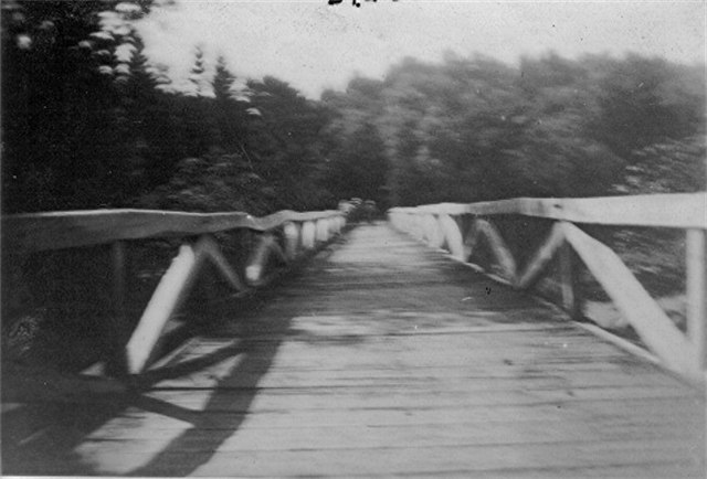
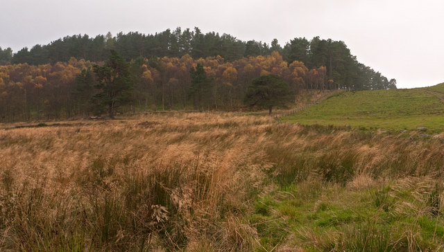
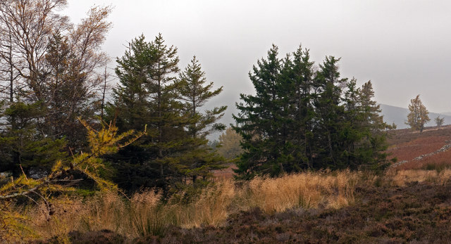
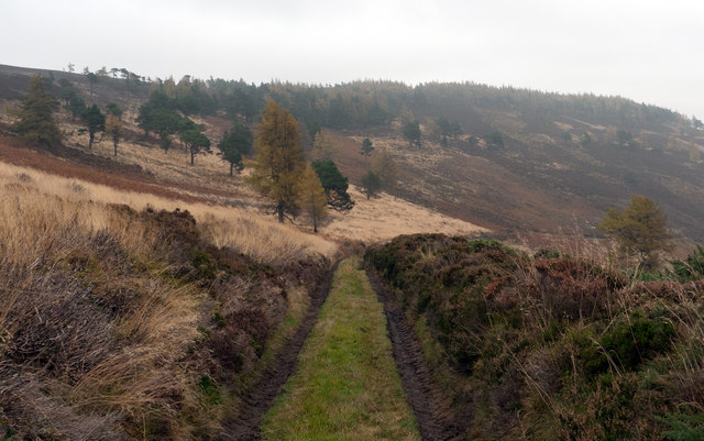
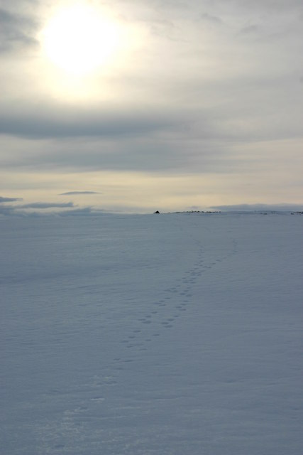
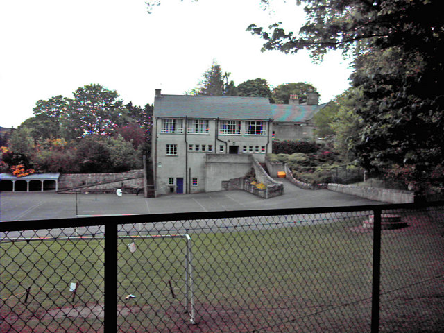
Wood of Logie Images

Images are sourced within 2km of 57.267621/-2.8262859 or Grid Reference NJ5019. Thanks to Geograph Open Source API. All images are credited.

Road descending through trees to A944 The road will act now as a farm road but in the past it will surely have seen use as a quarry road; above the trees there's a sizeable disused quarry.
Road descending through trees to A944
The road will act now as a farm road but in the past it will surely have seen use as a quarry road; above the trees there's a sizeable disused quarry.
Brux Lodge Photo date c1930.
 Access to Brux Lodge was over a wooden bridge <a href="https://www.geograph.org.uk/photo/2811222">NJ4918 : Wooden bridge over River Don</a> spanning the River Don in front of the Lodge, and a road entering the rear from The Corbouries.
Brux Lodge
Photo date c1930. Access to Brux Lodge was over a wooden bridge NJ4918 : Wooden bridge over River Don spanning the River Don in front of the Lodge, and a road entering the rear from The Corbouries.
Wooden bridge over River Don Photo c1930, Cannot find any evidence of this bridge on modern pictures or maps, but I have commercial photo showing Brux Lodge and this bridge from about the same period.
Wooden bridge over River Don
Photo c1930, Cannot find any evidence of this bridge on modern pictures or maps, but I have commercial photo showing Brux Lodge and this bridge from about the same period.
Mossat Burn
Mossat Burn
Beech woods on the A944 at Brux
Above Saplings This small grassy knoll is on the south flank of Edinbanchory Hill.
The Corbouies ridge in the background leads left eventually to Coiliochbhar Hill.
Above Saplings
This small grassy knoll is on the south flank of Edinbanchory Hill. The Corbouies ridge in the background leads left eventually to Coiliochbhar Hill.
Trees of Craigs of Logie Seen on a dull, misty, autumnal day, coniferous trees cloak the hill, Craigs of Logie as seen from the edge of farmland close to the Burn of Logie.
Trees of Craigs of Logie
Seen on a dull, misty, autumnal day, coniferous trees cloak the hill, Craigs of Logie as seen from the edge of farmland close to the Burn of Logie.
Trees with ruined wall on heather moorland South-west of the Marilyn, Lord Arthur's Hill a finger of forest reaches towards a col; photographed on a dismal October day!
Trees with ruined wall on heather moorland
South-west of the Marilyn, Lord Arthur's Hill a finger of forest reaches towards a col; photographed on a dismal October day!
Estate road descending from Lord Arthur's Hill A number of access roads exist on Lord Arthur's Hill; this one is on the south side; the view is eastwards towards Black Hill.
Estate road descending from Lord Arthur's Hill
A number of access roads exist on Lord Arthur's Hill; this one is on the south side; the view is eastwards towards Black Hill.
Scattered larch on Lord Arthur's Hill
Cultivated upland at Glenlogie
River Don at Glenlogie
Top of Fouchie Shank Sheep by a path junction in the Correen Hill.
Top of Fouchie Shank
Sheep by a path junction in the Correen Hill.
Larches, Lord Arthur's Hill It's a while since this bit of moorland was burnt, as self seeded larches have "escaped" from the scattered small woods that cover the hill.
Larches, Lord Arthur's Hill
It's a while since this bit of moorland was burnt, as self seeded larches have "escaped" from the scattered small woods that cover the hill.
Grouse butt, Frouchie Shank View down Frouchie Shank, showing the mix of woods and moorland.
Grouse butt, Frouchie Shank
View down Frouchie Shank, showing the mix of woods and moorland.
Wood of Logie Within the old long dyke is a remnant of woodland with some long established pine trees. Lord Arthur's Cairn in the distance.
Wood of Logie
Within the old long dyke is a remnant of woodland with some long established pine trees. Lord Arthur's Cairn in the distance.
Summit of Brux Hill The summit of Brux Hill with Fox footprints in foreground. The whole areas was criss crossed by Fox prints - and rabbit and grouse prints - but strangely no human footprints - not even mine - since I was on skis.
Summit of Brux Hill
The summit of Brux Hill with Fox footprints in foreground. The whole areas was criss crossed by Fox prints - and rabbit and grouse prints - but strangely no human footprints - not even mine - since I was on skis.
Brux Hill summit cairn looking SW
Show me another place!

Wood of Logie is located at Grid Ref: NJ5019 (Lat: 57.267621, Lng: -2.8262859)

Unitary Authority: Aberdeenshire

Police Authority: North East

What 3 Words

///raven.sundial.joke. Near Alford, Aberdeenshire

Nearby Locations

Wood of Logie

Related Wikis

Mossat

Mossat is a settlement in Aberdeenshire, Scotland on the A97 road near Glenkindie and Lumsden, between Bridge of Alford and Strathdon, and is situated...

Brux Castle

Brux Castle was a castle of the Forbeses, about 1.5 miles (2.4 km) east of Kildrummy, Aberdeenshire, Scotland, south of the river Don. The castle was...

Lumsden, Aberdeenshire

Lumsden is an inland village in Aberdeenshire, Scotland on the A97 road. == Location == It crowns a rising-ground 227 m (745 ft) above sea level amid a...

Kildrummy

Kildrummy (Scottish Gaelic: Cionn Droma) is a hamlet in Aberdeenshire, Scotland near the River Don, 7 miles (11 kilometres) west of Alford. The hamlet...

Have you been to Wood of Logie?

Leave your review of Wood of Logie below (or comments, questions and feedback).