Hillhouse Wood

Wood, Forest in Roxburghshire

Scotland

Hillhouse Wood

Forestry road near Newcastleton
Forestry road near Newcastleton Credit: Steven Brown

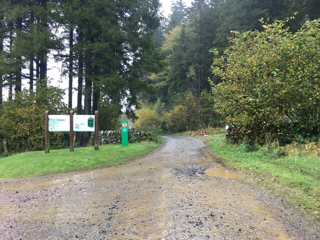
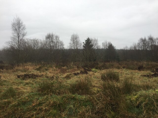
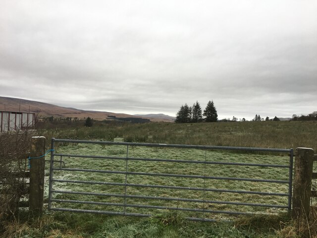
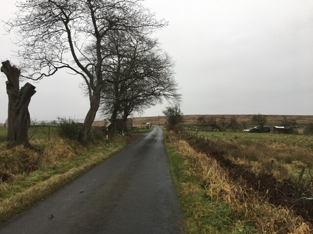
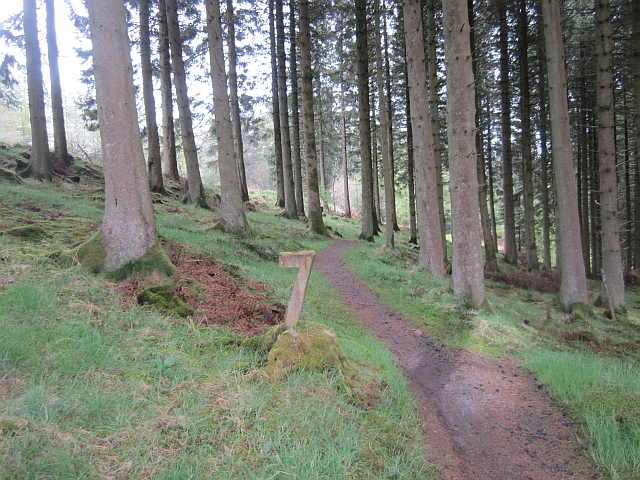
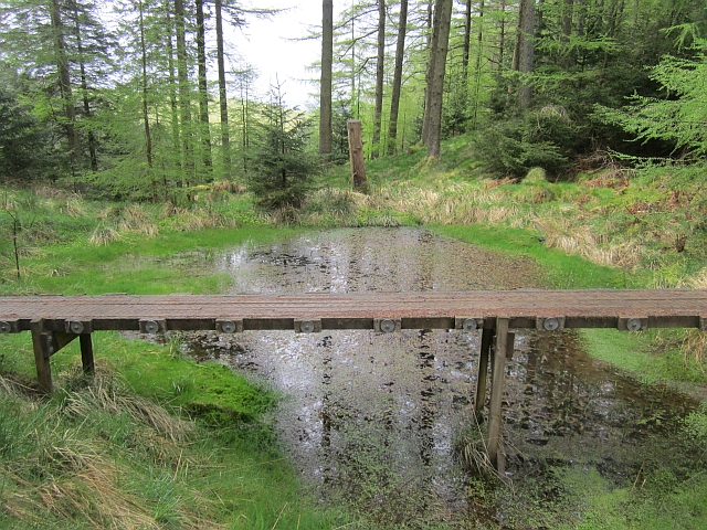
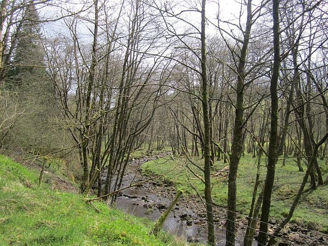
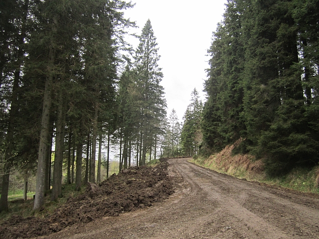
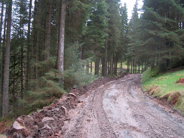
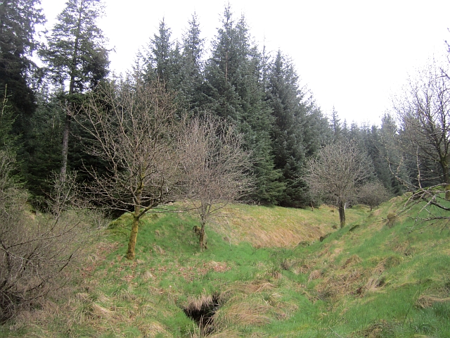
Hillhouse Wood is a picturesque forest located in Roxburghshire, Scotland. Covering an area of approximately 200 acres, the woodland is a mix of native broadleaf trees such as oak, beech, and birch, as well as coniferous species like Scots pine and Douglas fir. The forest is a popular destination for nature lovers, hikers, and bird watchers due to its diverse range of flora and fauna.

Trails wind through the woodland, offering visitors the opportunity to explore the peaceful surroundings and spot wildlife such as red squirrels, deer, and various bird species. The forest is also home to a variety of plant species, including bluebells, wild garlic, and ferns, which create a vibrant and colorful display throughout the seasons.

Hillhouse Wood is managed by the local forestry commission, ensuring that the natural habitat is protected and maintained for future generations to enjoy. The forest provides a tranquil escape from the hustle and bustle of everyday life, making it a popular spot for relaxation and recreation for both locals and visitors to Roxburghshire.

If you have any feedback on the listing, please let us know in the comments section below.

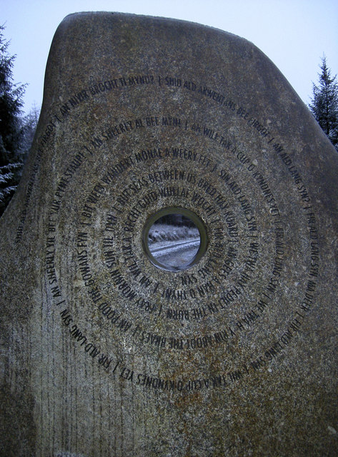
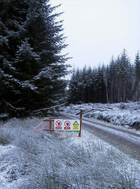
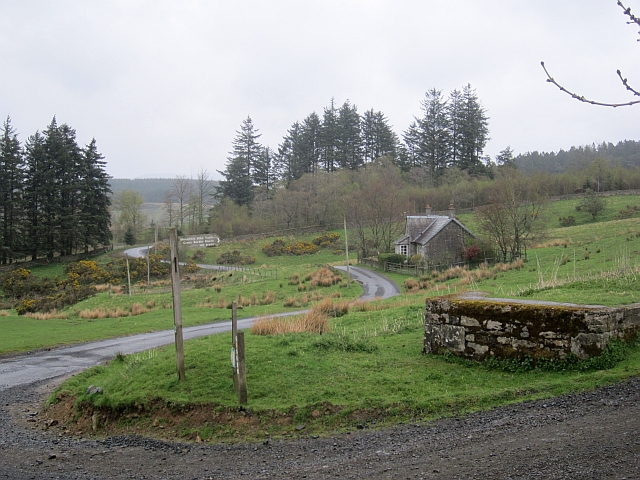
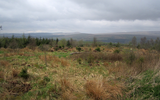
Hillhouse Wood Images

Images are sourced within 2km of 55.172155/-2.7821446 or Grid Reference NY5086. Thanks to Geograph Open Source API. All images are credited.

Forestry road near Newcastleton
Newcastleton Forest
Newcastleton Forest
Gated field near Newcastleton
Minor road near Newcastleton
The Border Stone This modern sculpture, about 8 feet high, has the words of 'Auld Lang Syne' in Broad Scots inscribed in circular form on the 'Scottish' side of the stone and 'Jerusalem' representing England on the other. However, to describe it as the 'Border' stone is wrong since it is an incursion into Scotland located nearly one mile within Scotland!
The Border Stone
This modern sculpture, about 8 feet high, has the words of 'Auld Lang Syne' in Broad Scots inscribed in circular form on the 'Scottish' side of the stone and 'Jerusalem' representing England on the other. However, to describe it as the 'Border' stone is wrong since it is an incursion into Scotland located nearly one mile within Scotland!
Might need it! Winter arrives in the Borders - and some good advice is to hand.
Might need it!
Winter arrives in the Borders - and some good advice is to hand.
Songs in the middle of a forest The Border Stane, so-called as it represents the division between England and Scotland. The actual border appears to be over 1km away, however it is one of the Seven Stanes cycle route. See <a href="https://www.geograph.org.uk/photo/2730039">NY5186 : This side - Jerusalem</a> for a closer look.
Songs in the middle of a forest
The Border Stane, so-called as it represents the division between England and Scotland. The actual border appears to be over 1km away, however it is one of the Seven Stanes cycle route. See NY5186 : This side - Jerusalem for a closer look.
This side - Jerusalem The 'English' side of the Border Stane, appropriately inscribed. See <a href="https://www.geograph.org.uk/photo/2730056">NY5186 : Looking at England through a hole</a> for the 'Scottish' side.
This side - Jerusalem
The 'English' side of the Border Stane, appropriately inscribed. See NY5186 : Looking at England through a hole for the 'Scottish' side.
Looking at England through a hole The Border Stane, as seen from the Scottish perspective. The words to Auld Lang Syne spiral around the hole, where people may shake hands across two countries. See <a href="https://www.geograph.org.uk/photo/2730033">NY5186 : Songs in the middle of a forest</a> for the opposite side, or <a href="https://www.geograph.org.uk/photo/828910">NY5186 : Newcastleton Forest - The Border Stane</a> for a broad view by Andy Connor.
Looking at England through a hole
The Border Stane, as seen from the Scottish perspective. The words to Auld Lang Syne spiral around the hole, where people may shake hands across two countries. See NY5186 : Songs in the middle of a forest for the opposite side, or NY5186 : Newcastleton Forest - The Border Stane for a broad view by Andy Connor.
Warning signs But no warning of the fact that the track is part of a popular mountain bike route. Not to worry, the weather may have reduced the numbers likely to appear. Near the Border Stane - <a href="https://www.geograph.org.uk/photo/2730033">NY5186 : Songs in the middle of a forest</a>.
Warning signs
But no warning of the fact that the track is part of a popular mountain bike route. Not to worry, the weather may have reduced the numbers likely to appear. Near the Border Stane - NY5186 : Songs in the middle of a forest.
Road junction, Dykecrofts The usual way into Newcastleton Forest with the road into the picture being used for some of the walking routes at the Priest Hill car park. The mountain bike trails and other waymarked walking routes climb a gentle hill to the right.
Road junction, Dykecrofts
The usual way into Newcastleton Forest with the road into the picture being used for some of the walking routes at the Priest Hill car park. The mountain bike trails and other waymarked walking routes climb a gentle hill to the right.
Skills area, Newcastleton Forest A selection of problems that may turn up on a trail centre route.
Skills area, Newcastleton Forest
A selection of problems that may turn up on a trail centre route.
Hidden Valley, Newcastleton The top of the first bit of singletrack on the red route at Newcastleton.
Hidden Valley, Newcastleton
The top of the first bit of singletrack on the red route at Newcastleton.
Obstacle, Hidden Valley An optional crossing of a pond on the Hidden Valley singletrack at Newcastleton.
Obstacle, Hidden Valley
An optional crossing of a pond on the Hidden Valley singletrack at Newcastleton.
Tweeden Burn At the foot of Hillhouse Wood, Newcastleton Forest.
Tweeden Burn
At the foot of Hillhouse Wood, Newcastleton Forest.
Logging road, Newcastleton Forest The road is being regraded prior to a new surface being added. This made things very muddy.
Logging road, Newcastleton Forest
The road is being regraded prior to a new surface being added. This made things very muddy.
Clart track The road is being regraded prior to a new surface being added. This made for an unpleasantly sticky climb to the Border Stane. The grader was at work a short distance downhill.
Clart track
The road is being regraded prior to a new surface being added. This made for an unpleasantly sticky climb to the Border Stane. The grader was at work a short distance downhill.
Newstell Syke A small burn runs through a gap in the conifers towards the Tweeden Burn. This hillside was one of the first to be planted with conifers at Newcastleton.
Newstell Syke
A small burn runs through a gap in the conifers towards the Tweeden Burn. This hillside was one of the first to be planted with conifers at Newcastleton.
Show me another place!

Hillhouse Wood is located at Grid Ref: NY5086 (Lat: 55.172155, Lng: -2.7821446)

Unitary Authority: The Scottish Borders

Police Authority: The Lothians and Scottish Borders

What 3 Words

///filer.competing.union. Near Langholm, Dumfries & Galloway

Nearby Locations

Hillhouse Wood

Related Wikis

Castleton, Scottish Borders

Castleton (Scottish Gaelic: Baile Chaisteil) is a civil parish in the Scottish Borders area of Scotland, in the former Roxburghshire, in the extreme south...

Newcastleton railway station

Newcastleton railway station served the village of Newcastleton, Scottish Borders, Scotland from 1862 to 1969 on the Border Union Railway. == History... ==

Newcastleton

Newcastleton, also called Copshaw Holm, is a village in Liddesdale, the Scottish Borders, a few miles from the border with England, on the Liddel Water...

Mangerton Tower

Mangerton Tower is a ruined Scottish tower castle house formerly belonging to the Armstrong family. Mangerton Tower is at Mangerton in Newcastleton or...

Nearby Amenities

Located within 500m of 55.172155,-2.7821446
Castle Hill
Ele: 230
Natural: peak
Lat/Long: 55.1743185/-2.7776183
The data included in this document is from www.openstreetmap.org. The data is made available under ODbL.

Have you been to Hillhouse Wood?

Leave your review of Hillhouse Wood below (or comments, questions and feedback).