Cefn-y-coed

Settlement in Flintshire

Wales

Cefn-y-coed

St Peter's Church, Holywell A modern, multi-purpose church building. The grid-line bisects the church and only the left-hand side of the building is in the square.
St Peter's Church, Holywell Credit: John H Darch

Cefn-y-coed is a small village located in Flintshire, a county in northeast Wales. Situated near the border with England, it is nestled amidst the picturesque Clwydian Range and Dee Valley Area of Outstanding Natural Beauty. The village lies approximately 5 miles south of Mold, the county town of Flintshire.

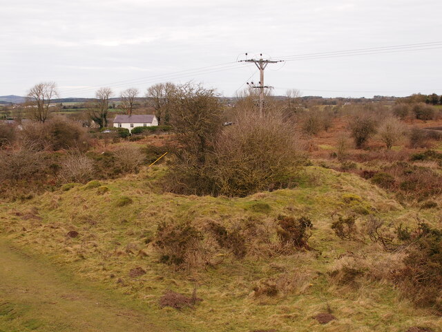
Cefn-y-coed is known for its stunning natural surroundings, with rolling hills, lush green fields, and dense woodlands. The village offers breathtaking panoramic views of the Clwydian Range, attracting nature lovers and hikers who enjoy exploring the various trails and paths in the area.

Despite its small size, Cefn-y-coed boasts a tight-knit community that takes pride in its heritage and traditions. The village is home to a charming local pub, where residents and visitors can gather to socialize and enjoy traditional Welsh hospitality.

While primarily a residential area, Cefn-y-coed benefits from its proximity to nearby towns and cities. Residents have convenient access to essential amenities and services, including schools, shops, and healthcare facilities. The village also benefits from good transport links, with easy access to major roads and public transportation.

Cefn-y-coed offers a peaceful and idyllic lifestyle, away from the hustle and bustle of urban areas. Its natural beauty, community spirit, and convenient location make it an attractive place to live for those seeking a quieter and more rural setting in the heart of Flintshire.

If you have any feedback on the listing, please let us know in the comments section below.
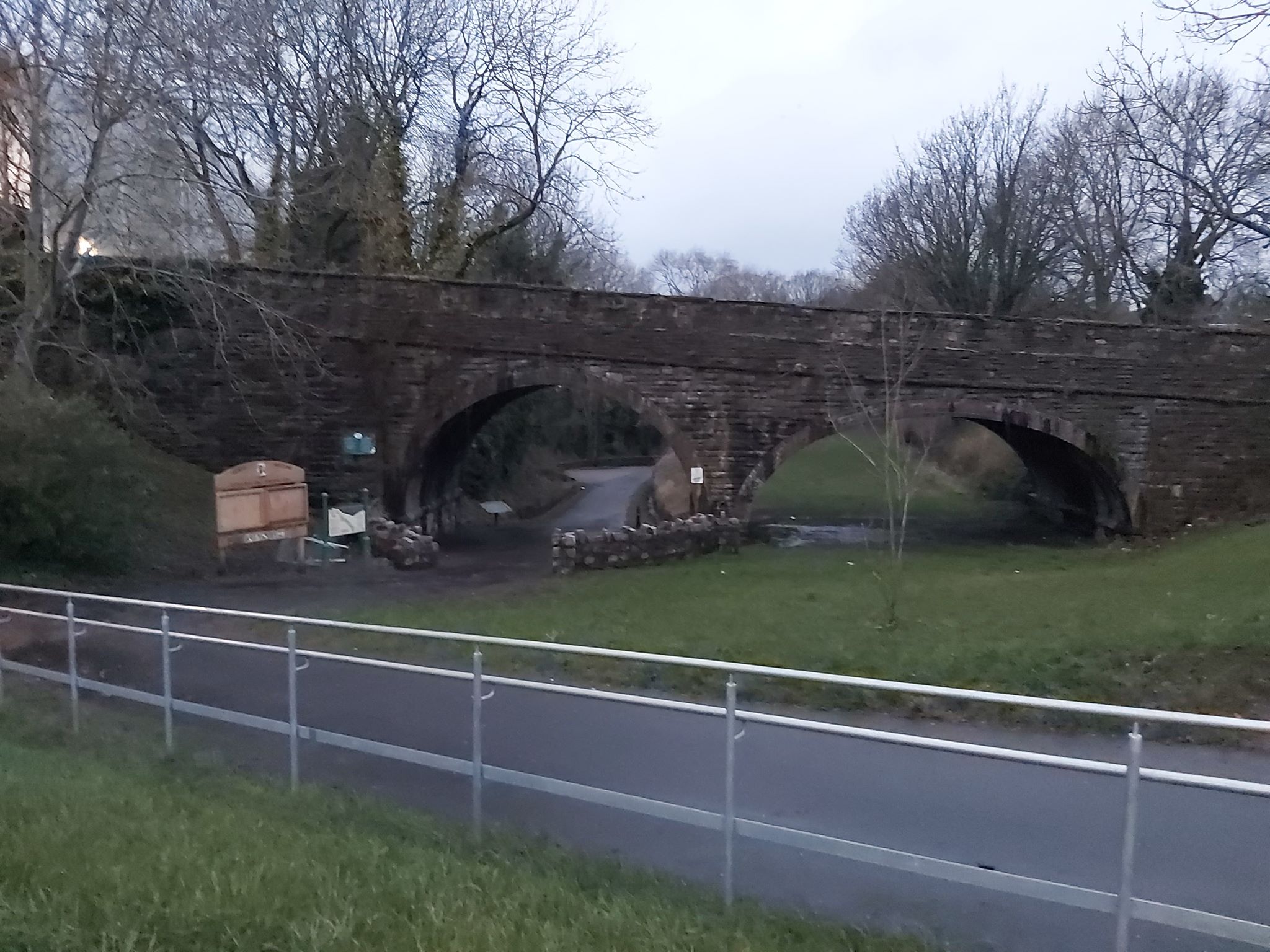
Cefn-y-coed Images

Images are sourced within 2km of 53.264474/-3.202388 or Grid Reference SJ1974. Thanks to Geograph Open Source API. All images are credited.

St Peter's Church, Holywell A modern, multi-purpose church building. The grid-line bisects the church and only the left-hand side of the building is in the square.
St Peter's Church, Holywell
A modern, multi-purpose church building. The grid-line bisects the church and only the left-hand side of the building is in the square.
St Winefride's Chapel View from south in 1980.
St Winefride's Chapel
View from south in 1980.
St Winefride's Well, Holywell A religious site popular with European Roman Catholics. There is an outdoor bathing pool but this indoor well within St Winefride's Chapel is strictly not for bathing. You can see the water rising within it.
St Winefride's Well, Holywell
A religious site popular with European Roman Catholics. There is an outdoor bathing pool but this indoor well within St Winefride's Chapel is strictly not for bathing. You can see the water rising within it.
St James's Church, Holywell The edge of St Winefride's Chapel is seen on the left.
St James's Church, Holywell
The edge of St Winefride's Chapel is seen on the left.
St Winefride's Chapel. Holywell This covers St Winefride's Well and is very popular with European Catholics. The access is from the other side at a lower level.
St Winefride's Chapel. Holywell
This covers St Winefride's Well and is very popular with European Catholics. The access is from the other side at a lower level.
Old Shaft Bryn-Sannan
Bryn Mawr Quarry
Bryn Mawr Quarry
Ordnance Survey Cut Mark This OS cut mark can be found on the wall of the chapel on Whitford Street. It marks a point 113.201m above mean sea level.
Ordnance Survey Cut Mark
This OS cut mark can be found on the wall of the chapel on Whitford Street. It marks a point 113.201m above mean sea level.
Ordnance Survey Cut Mark This OS cut mark can be found on the wall of No32 Whitford Street. It marks a point 367.5ft above mean sea level.
Ordnance Survey Cut Mark
This OS cut mark can be found on the wall of No32 Whitford Street. It marks a point 367.5ft above mean sea level.
Ordnance Survey Cut Mark This OS cut mark can be found on the Town Hall, High Street. It marks a point 107.675m above mean sea level.
Ordnance Survey Cut Mark
This OS cut mark can be found on the Town Hall, High Street. It marks a point 107.675m above mean sea level.
Ordnance Survey Cut Mark This OS cut mark can be found on the old bank, High Street. It marks a point 109.746m above mean sea level.
Ordnance Survey Cut Mark
This OS cut mark can be found on the old bank, High Street. It marks a point 109.746m above mean sea level.
Ordnance Survey Cut Mark This OS cut mark can be found on the NW buttress of the school. It marks a point 372.23ft above mean sea level.
Ordnance Survey Cut Mark
This OS cut mark can be found on the NW buttress of the school. It marks a point 372.23ft above mean sea level.
Ordnance Survey Cut Mark This OS cut mark can be found on the old Court House, Halkyn Street. It marks a point 112.872m above mean sea level.
Ordnance Survey Cut Mark
This OS cut mark can be found on the old Court House, Halkyn Street. It marks a point 112.872m above mean sea level.
Ordnance Survey Rivet This OS rivet can be found on the step of No12 Coleshill Street. It marks a point 113.020m above mean sea level.
Ordnance Survey Rivet
This OS rivet can be found on the step of No12 Coleshill Street. It marks a point 113.020m above mean sea level.
Brynford cafe stop Cyclists on a Sunday morning ride prepare to leave the pet cemetery cafe where they'd stopped for morning coffee.
Brynford cafe stop
Cyclists on a Sunday morning ride prepare to leave the pet cemetery cafe where they'd stopped for morning coffee.
A55 eastbound near Milwr
Pen-y-Ball Hill, Holywell
Pen-y-Bal Street, Holywell
Show me another place!

Cefn-y-coed is located at Grid Ref: SJ1974 (Lat: 53.264474, Lng: -3.202388)

Unitary Authority: Flintshire

Police Authority: North Wales

What 3 Words

///reconnect.port.pythons. Near Holywell, Flintshire

Related Wikis

Holywell Town F.C.

Holywell Town Football Club (Welsh: Clwb Pêl-droed Treffynnon) is a Welsh football club from Holywell, Flintshire. They are nicknamed 'The Wellmen', and...

Lluesty Hospital

Lluesty Hospital (Welsh: Ysbyty Lluesty) was a community hospital in Holywell, Flintshire, Wales. It was managed by the Betsi Cadwaladr University Health...

Holywell Workhouse Chapel

Holywell Workhouse Chapel was built in association with Holywell Workhouse in Old Chester Road, Holywell, Flintshire, Wales (grid reference SJ189750)....

Holywell Community Hospital

Holywell Community Hospital (Welsh: Ysbyty Cymuned Treffynnon) is a community hospital in Halkyn Road, Holywell, Flintshire, Wales. It is managed by the...

Delyn (UK Parliament constituency)

Delyn is a constituency represented in the House of Commons of the UK Parliament since 2019 by Rob Roberts, who was elected as a Conservative, but currently...

Delyn (Senedd constituency)

Delyn is a constituency of the Senedd. It elects one Member of the Senedd by the first past the post method of election. Also, however, it is one of nine...

Holywell Town railway station

Holywell Town railway station was a station in Holywell, Flintshire, Wales. The station was opened on 1 July 1912 and closed on 6 September 1954. There...

Holywell Town Hall

Holywell Town Hall (Welsh: Neuadd y Dref Treffynnon) is a municipal structure in the High Street in Holywell, Wales. The façade of the town hall, which...

Nearby Amenities

Located within 500m of 53.264474,-3.202388
Power: pole
Lat/Long: 53.2677915/-3.1973398
Power: pole
Lat/Long: 53.2680017/-3.1981576
Power: pole
Lat/Long: 53.2683331/-3.199337
Power: pole
Lat/Long: 53.2687307/-3.2008425
Man Made: adit
Lat/Long: 53.2638309/-3.2084251
The data included in this document is from www.openstreetmap.org. The data is made available under ODbL.

Have you been to Cefn-y-coed?

Leave your review of Cefn-y-coed below (or comments, questions and feedback).